This is the diary from my 2023 Green Ribbon hike through the Swedish mountain chain. For an introduction to the hike, see part 1.
Day 6
June 23 (33.7 km)
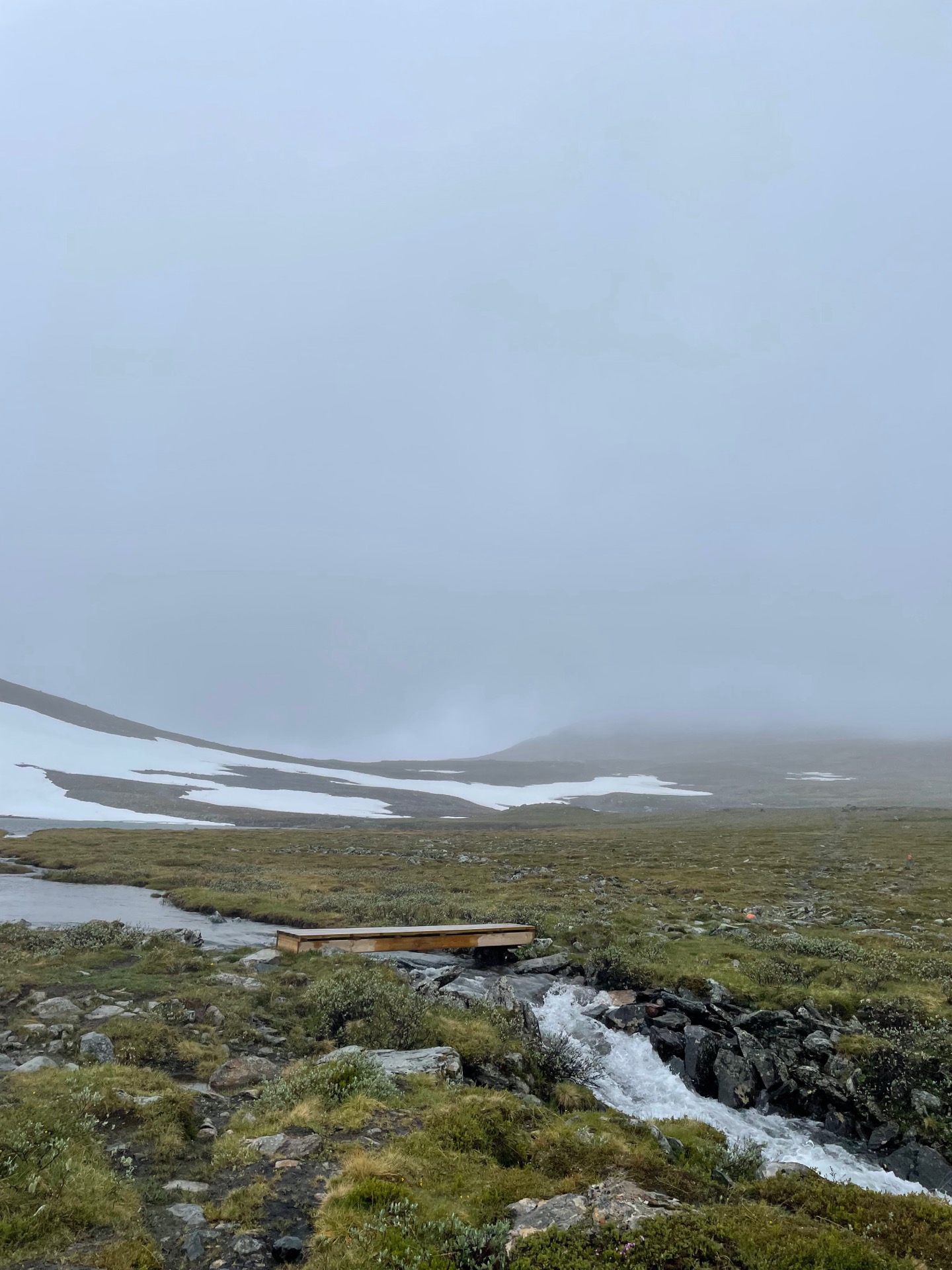
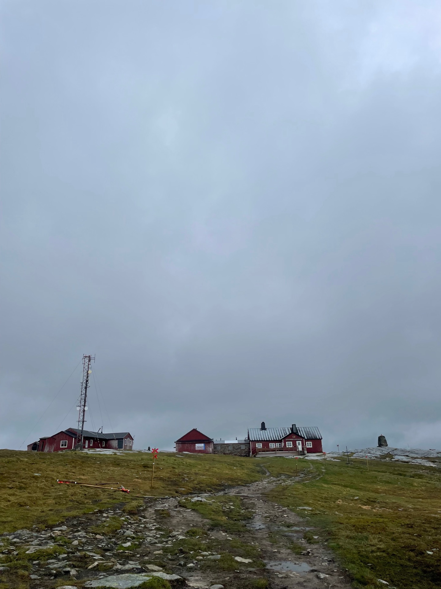
It was wet, cold and windy on the climb up to the 1190 meter mountain pass you reach before going back down to the Swedish Tourist Association (STF) mountain station Sylarna. It was the first time on my Green Ribbon that I had to put on three layers. Not counting the harsh sun on day 1 and 2, the weather has been really forgiving so far.
I had a time to keep at STF Blåhammaren, the next mountain station on my route, so I only stayed a short while at Sylarna to get a cup of coffee, a cabin patch, and a look at the weather forecast for the day (a drawing looking like this: 😕) before I put my three layers back on and headed out again.
The weather stayed the same in the afternoon, but the vast open fjäll between Sylarna and Blåhammaren was pretty even when partially obscured behind low-hanging rain clouds. It was my first time in this part of Jämtlandsfjällen, and I’m already keen to come back. The weather and the audiobook in my ears (the third book in the Arn series by Jan Guillou, which I’m reading for the first time) made the kilometers fly by, and before I knew it, I had arrived at Blåhammaren.
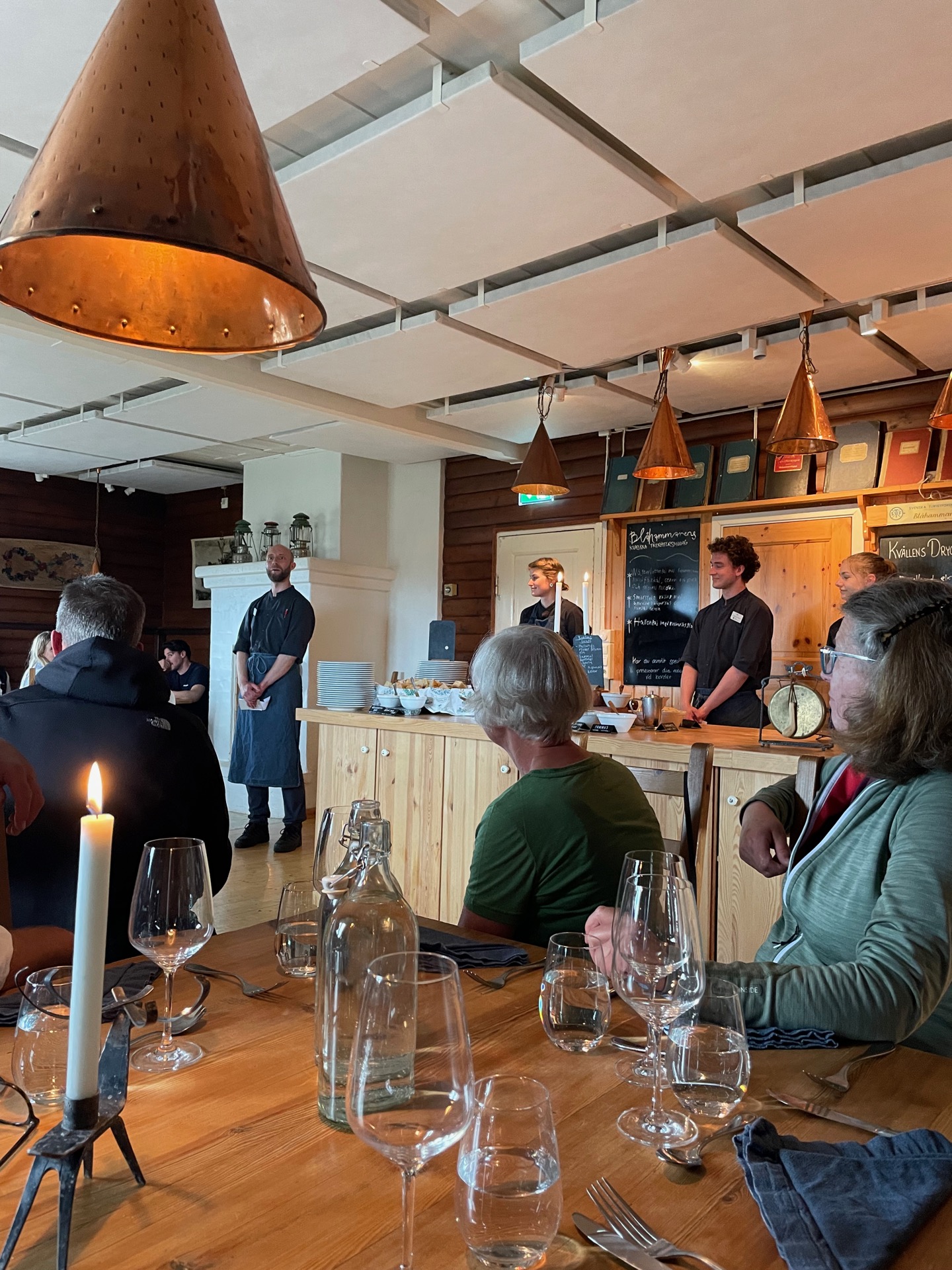
Blåhammaren is the highest STF mountain station at 1 086 meters above sea line. The other thing it’s known for is the excellent food. The time I had to keep was the seating time for their three course dinner, and as luck would have it, I arrived on Midsummer’s Eve. Yes, like the movie. No, no old men jumped to their death from the mountain while I was there. I didn’t stay the night, though. I can’t speak to what happened later in the evening.
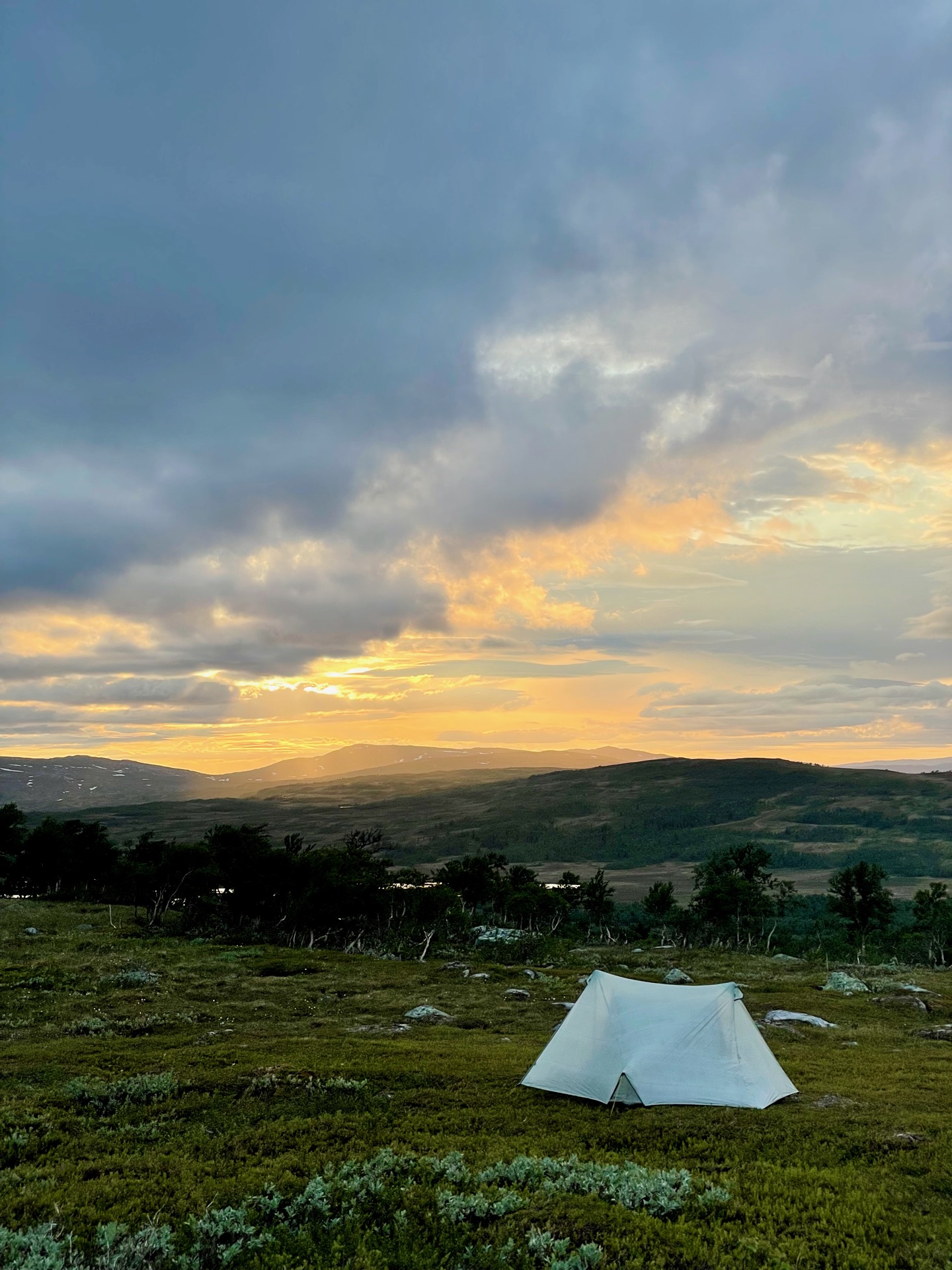
The food was excellent, and so was the company. Something about putting a bunch of strangers in front of food at a mountain station always leads to good conversations. While we were busy singing snapsvisor and eating cheese pie and arctic char, the weather cleared up. It made for nice views towards Storlien when I continued down to the tree line after dinner.
Day 7
June 24 (33.6 km)
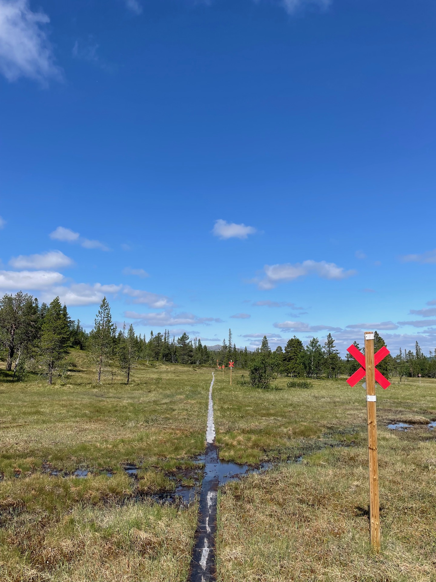
After a few kilometers of wet swamp hiking north of the river Enan, I reached the small village Storvallen and roadwalked the 3 km on European route E14 to Storlien. Not a single car honked at me on the way, although many drivers looked tempted.
Storlien is an interesting place. The railroad brought Swedish tourists here for downhill skiing in the early 1900s, and it was the most popular ski resort in Sweden for a long time. The Swedish royal family still has a cabin here. In time, Storlien was supplanted by ski resorts to the east and south, closer to the big cities, and Norwegian shoppers became more important. Now, Storlien is a strange mix of ski hotels and stores selling candy and tobacco.
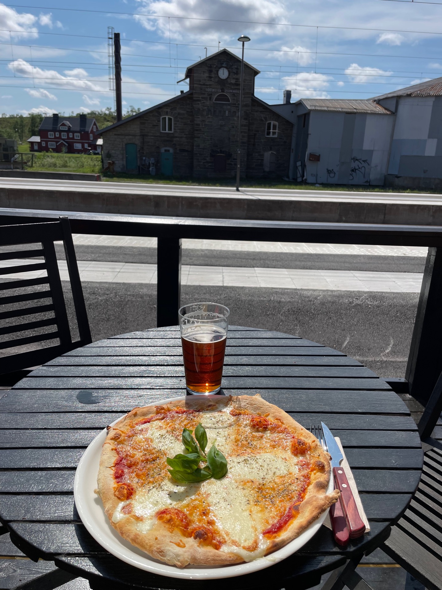
Fortunately, candy was on my shopping list when I reached the newly built shopping mall outside town. I had enough freeze dried meals to last until the supply box in Anjan, but the snacks and bars were running low. Next, I had some pizza and a beer for lunch in town. I realized that I’d had beer three days in a row. It’s a tough life.
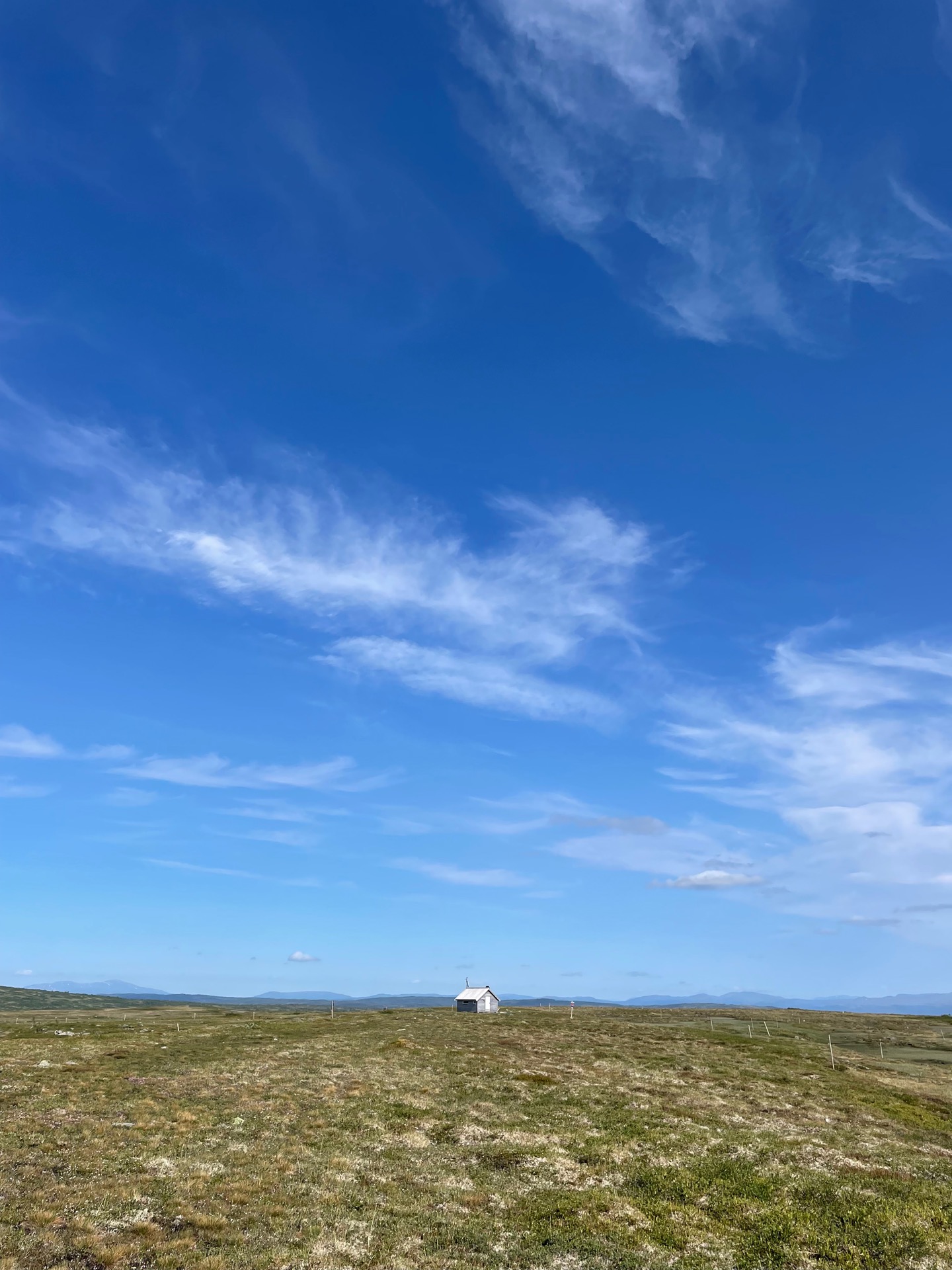
With shopping and eating done, I hiked up to Vindarnas Tempel north of Storlien, and then continued east on the fjäll to the Åhlenstugan rest cabin. All the while with beautiful views over the surrounding mountains.
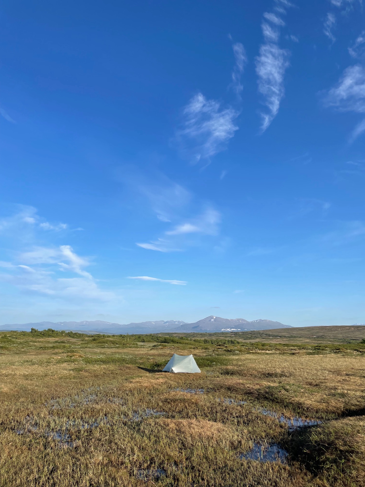
Leaving Åhlenstugan felt special, because from there, I didn’t have a trail to follow. I’d spend the next couple of days hiking mostly off-trail to Anjans Fjällstation, following Jörgen Johanssons route. After another hour, I found a flat tent site close to the top of Flatrun, west of Norder-Rensjön. It was a beautiful evening.
I forgot all about that when I discovered that both my power banks were out of charge. I knew about the small one, but I hadn’t used the big one yet, and charged it before I left. My phone, that I use to navigate, only had 3% battery left. And I was about to start hiking off-trail the next day.
Cliffhanger!
Day 8
June 25 (~25 km)
When I woke up the next day, my initial thought was that I had to hike the 15 km back to Storlien, charge my electronics and probably stay the night, and then hike those same 15 km back to the trail again – now for the third time. Bummer.
Then I remembered that the next place my route passed through was Medstugan, where there’s a hostel. I would have to hike those ~25 km with map and compass, but that seemed doable. Fun, even. I could follow winter trail markings most of the way, and for the rest, I had clear landmarks to go by. So off I went.
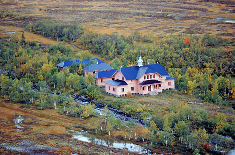
My biggest regret was that I didn’t have a camera during the day, because there were some beautiful views towards Jämtlandstriangeln in the morning, and towards the mountains in Norway and Skäckerfjällen in the afternoon. Also, I passed by the Wes Anderson movie set runaway Rensjösätern, which is a pink hunting estate built in 1890. It’s located in the middle of the fjäll next to the lake Norder-Rensjön and has to be seen to be believed. I borrowed a photo of it for this post.
The rest of the day was hot under the ever-present sun, but my feet were kept cool by the wet moors on Middagsfjället. Around two in the afternoon, the winter trail took me down from the fjäll and into the forests of Medstugan – Swedens largest continuous estate at almost 15 000 hectare.
I’m staying the night in the old dairy building, which has been rebuilt into a cosy hostel. I’ve charged my electronics, washed some clothes, and had my first proper shower since Fjällnäs, five days ago. A good way to celebrate a week on the trail. Tomorrow morning I hike on towards Anjan. Now with a GPS.
Day 9
June 26 (30.4 km)
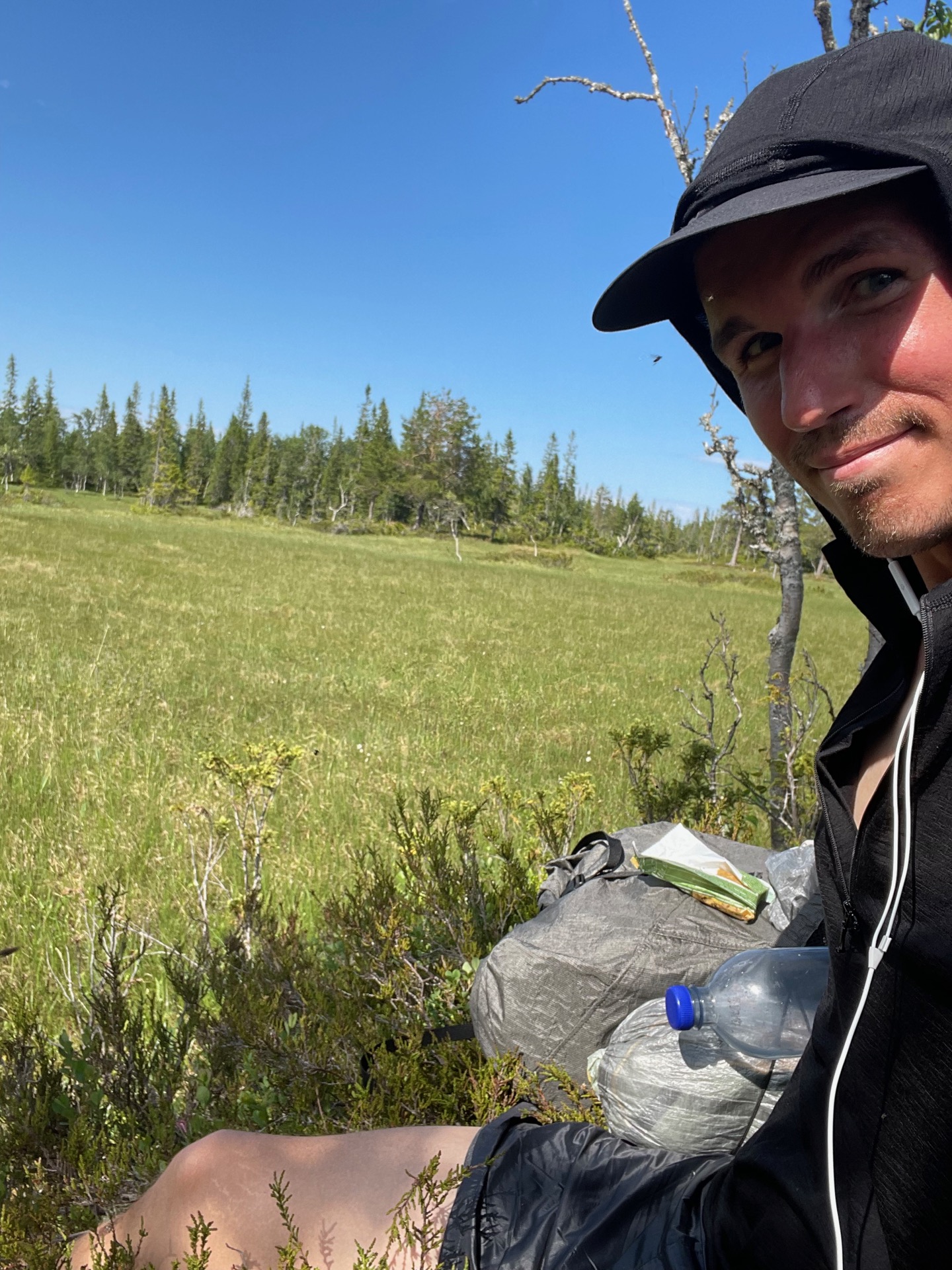
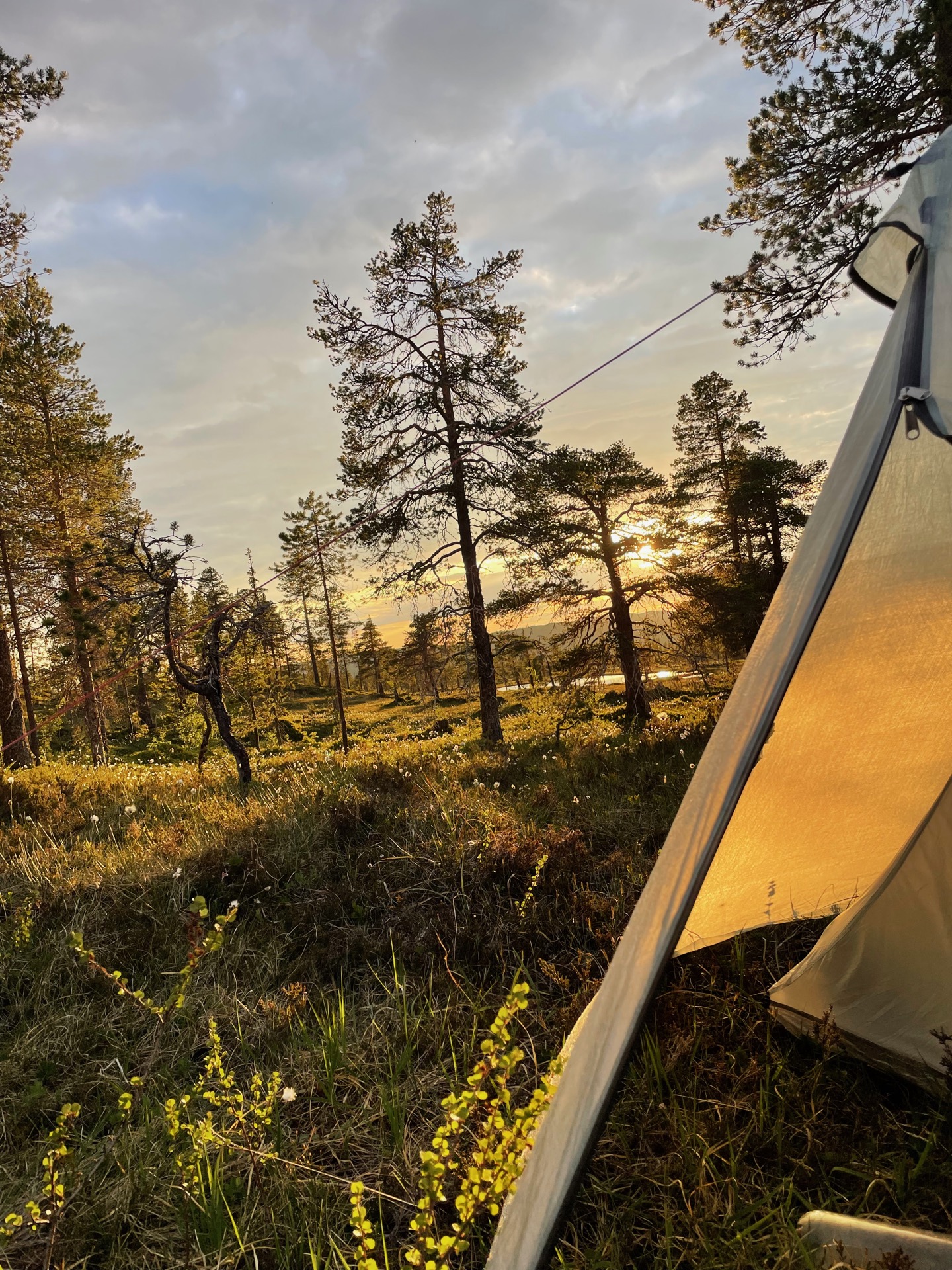
When I woke up in the morning, after sleeping for a solid 11 hours, I realized that my right arm and neck was in pretty bad shape from the sun the previous day. Today was going to be just as warm and sunny, so when I left Medstugan, I did it in my sun hoodie and ridiculous 20 gram Omm nylon shorts.
When I got to the northern hunting cabin on the Medstugan estate, I took in the 360 degree views of the surrounding snow capped mountains and then got in some dedicated phone time. I talked with my parents, sent a text to Rebecka, wished my little sister a happy birthday, and got all of the Instagram out of my system. I suspected I would lose signal later in the day and not get it back until I reach Rötviken, six days or so later.
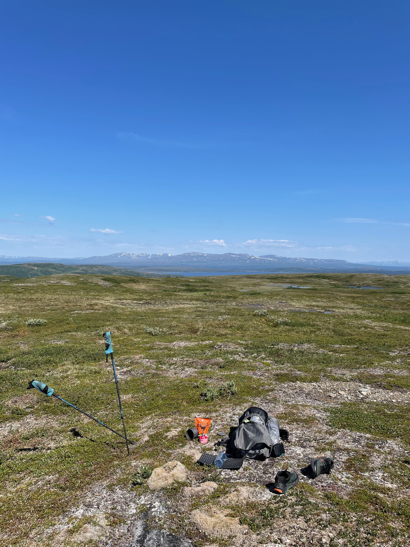
From the hunting cabin, I continued off-trail northwest to Långklumpen, where I had lunch with a stunning view over Skäckerfjällen. I hope those mountains live up to my high expectations. Not long after, I saw my first Green Ribbon moose. She was relaxing in the cool moor when I interrupted. Always exciting.
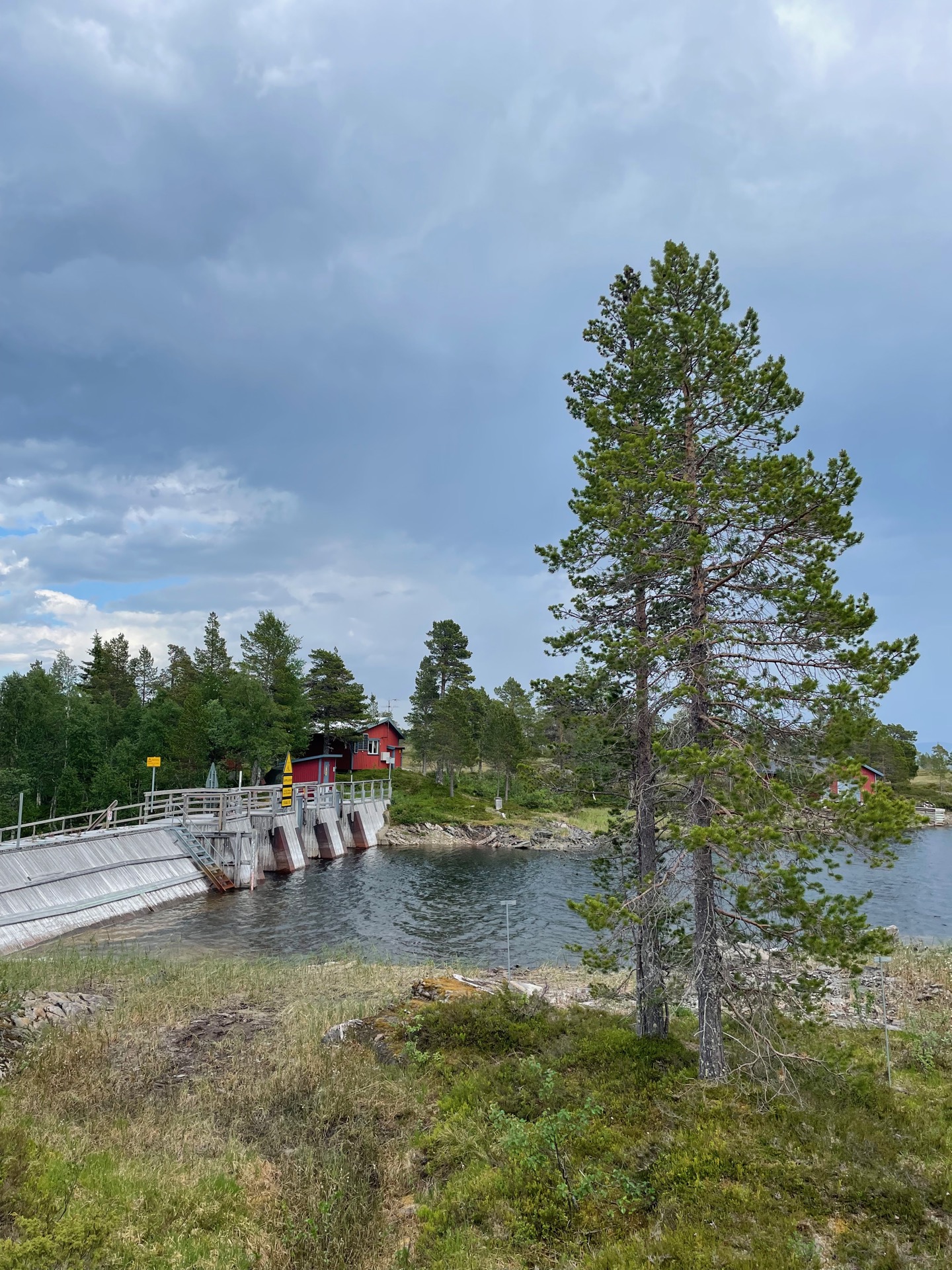
The rest of the day continued mostly off-trail on marshland from Stor-Rensjön to Sausjön to Lill-Rensjön, where the dam helped me across Rensjöån. I was a bit worried about mosquitoes given my inappropriately short shorts, but they’ve been strangely absent today. I got bitten pretty good in the wrist by a horsefly (broms) though. It swelled up to the point where it hurts to rotate it. Glad I brought salve.
From the dam over Rensjöån, I followed a luxuriously maintained trail (I had forgotten the feeling of spång beneath my feet) towards Melen, and found a campsite 1.5 km from road 336. Tomorrow, I’ll follow that road the 12 kilometers to Anjans Fjällstation, where there’s a supply box waiting for me. Maybe a rest day too.
Day 10
June 27 (15.2 km)
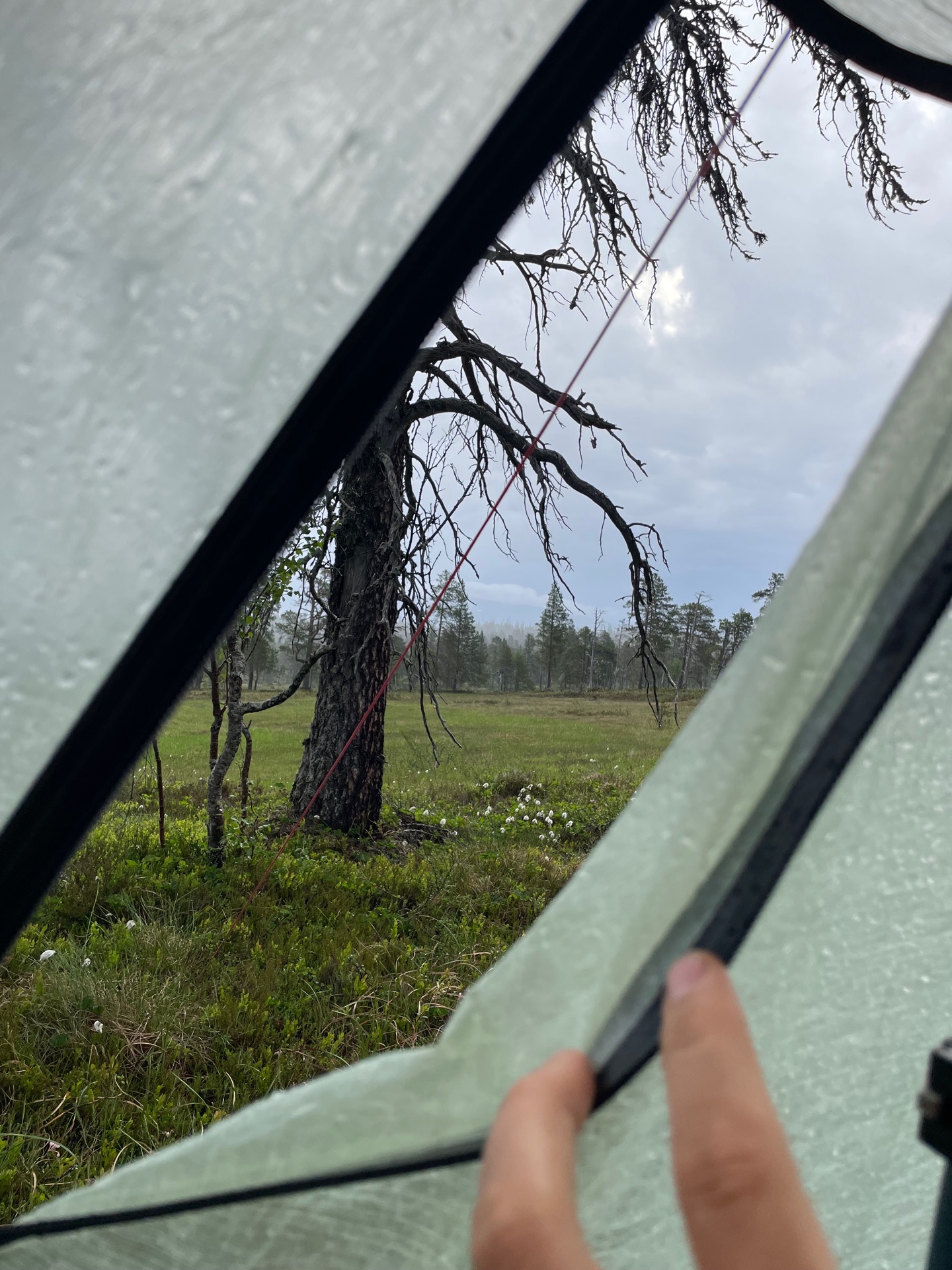
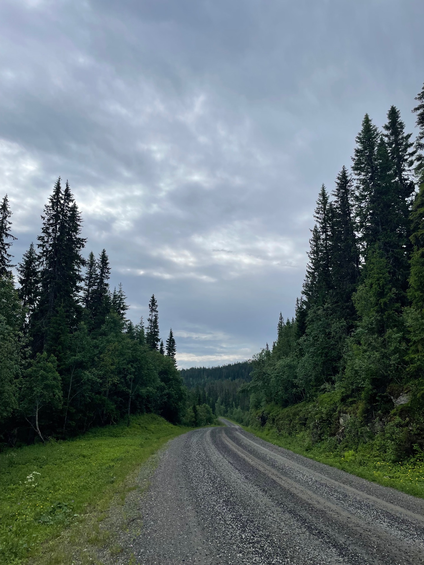
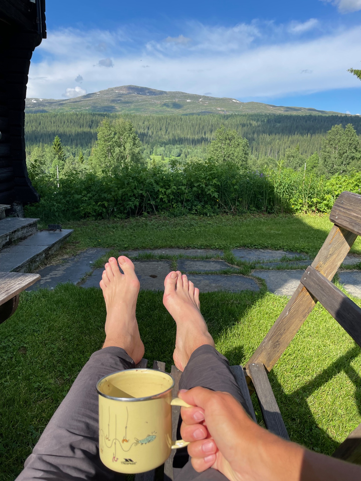
I had planned on buying earplugs when I passed through Storlien on day 7, but the apothecary was closed due to Midsummer’s Day. I missed those earplugs tonight. The gusts were the strongest I’ve had in my Tarptent Stratospire Li, and although I never worried about the tent collapsing, it made for a poor night’s sleep. When I woke up, I decided to wait for an hour or two to give the heavy rain a chance to clear up before I got going. No such luck.
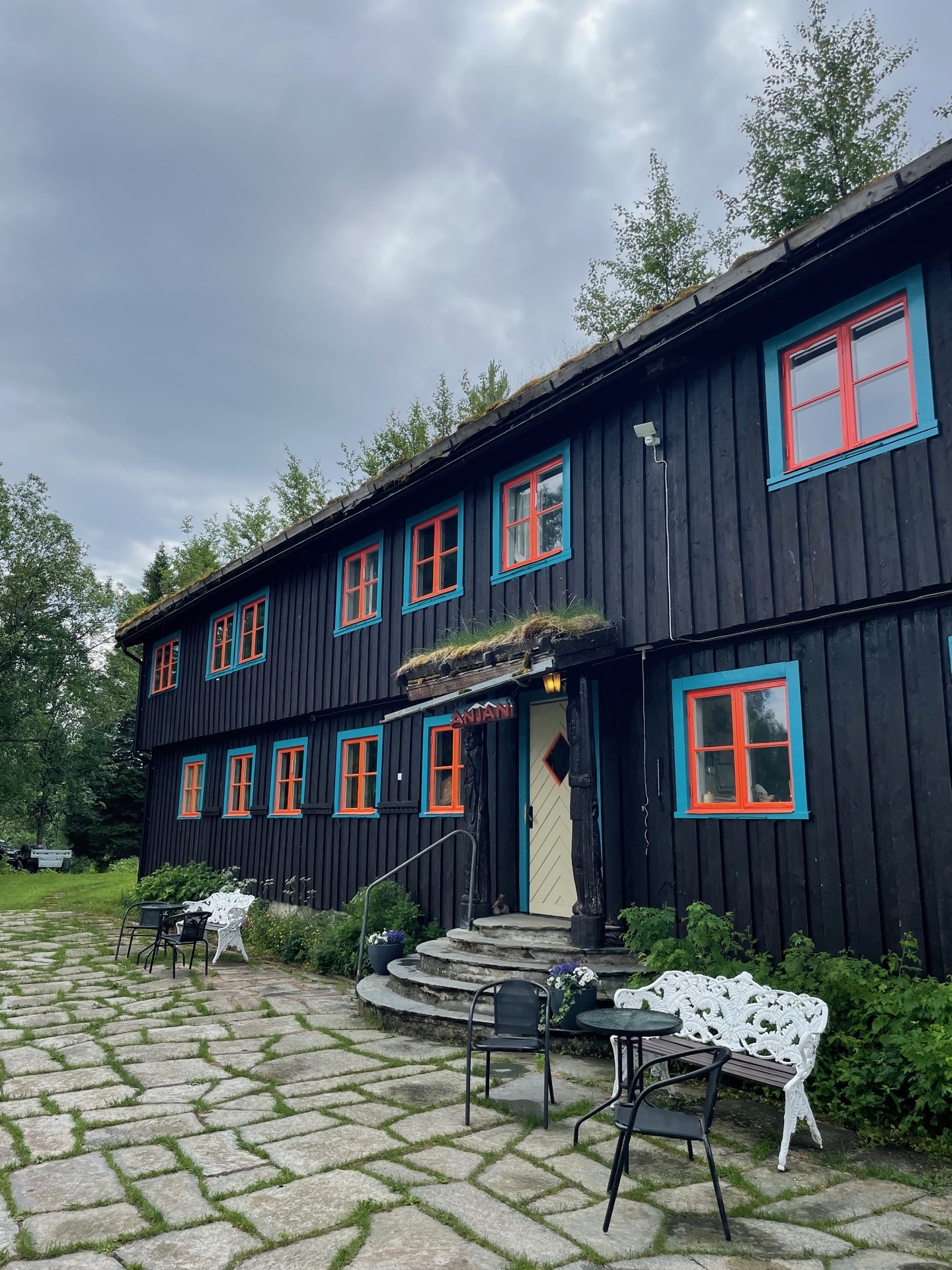
After 12 km on gravel road from Melen, I arrived at Anjans Fjällstation. It was every bit as charming as I had hoped. The lodge was built in 1937 by Eyvind Frölich, and the buildings were inspired by his time as a trapper in Alaska. For the past 50 years, it has been run by Henrik Carlsson, who turned 90 last year. I had a chance to talk to him after I had checked in. He offered me a cup of coffee and a piece of apple pie, free of charge. I see where this mountain station gets it reputation. It feels like a place where time has stood still, and also like a place that might not be around for much longer. If you come this way, I recommend a visit.
Anjan doesn’t open the full-service hotel until July, so I stayed in the self-service annex building, which I had to myself for the night. In addition to coffee and pie, I had my second supply box waiting for me in Anjan. After hanging my gear to dry and taking a shower, I got to work squeezing the contents of the box into my pack. I got here sooner than I had planned, with quite a bit of food left. It was a tight fit.
Tomorrow, I’ll head up into Skäckerfjällen. I’m very excited! I hope the weather’s with me.
Day 11
June 28 (38.5 km)
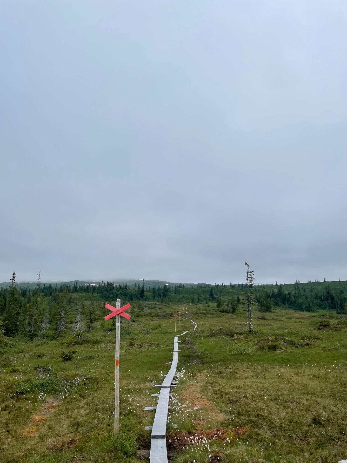
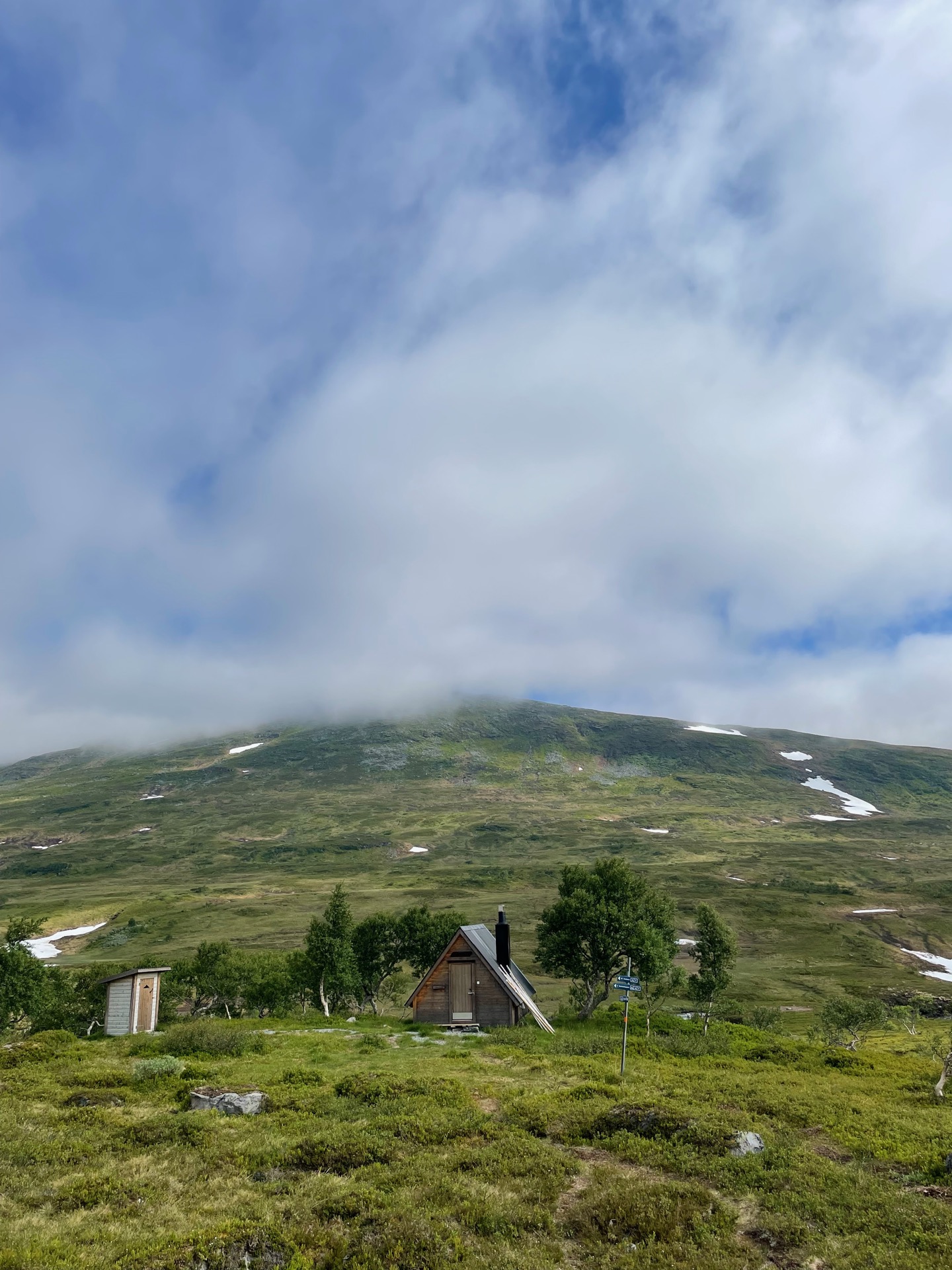
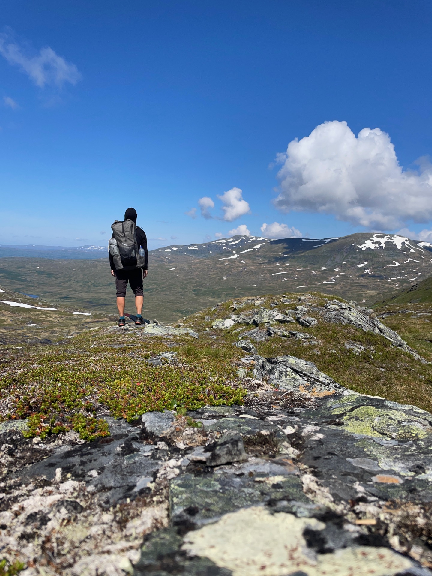
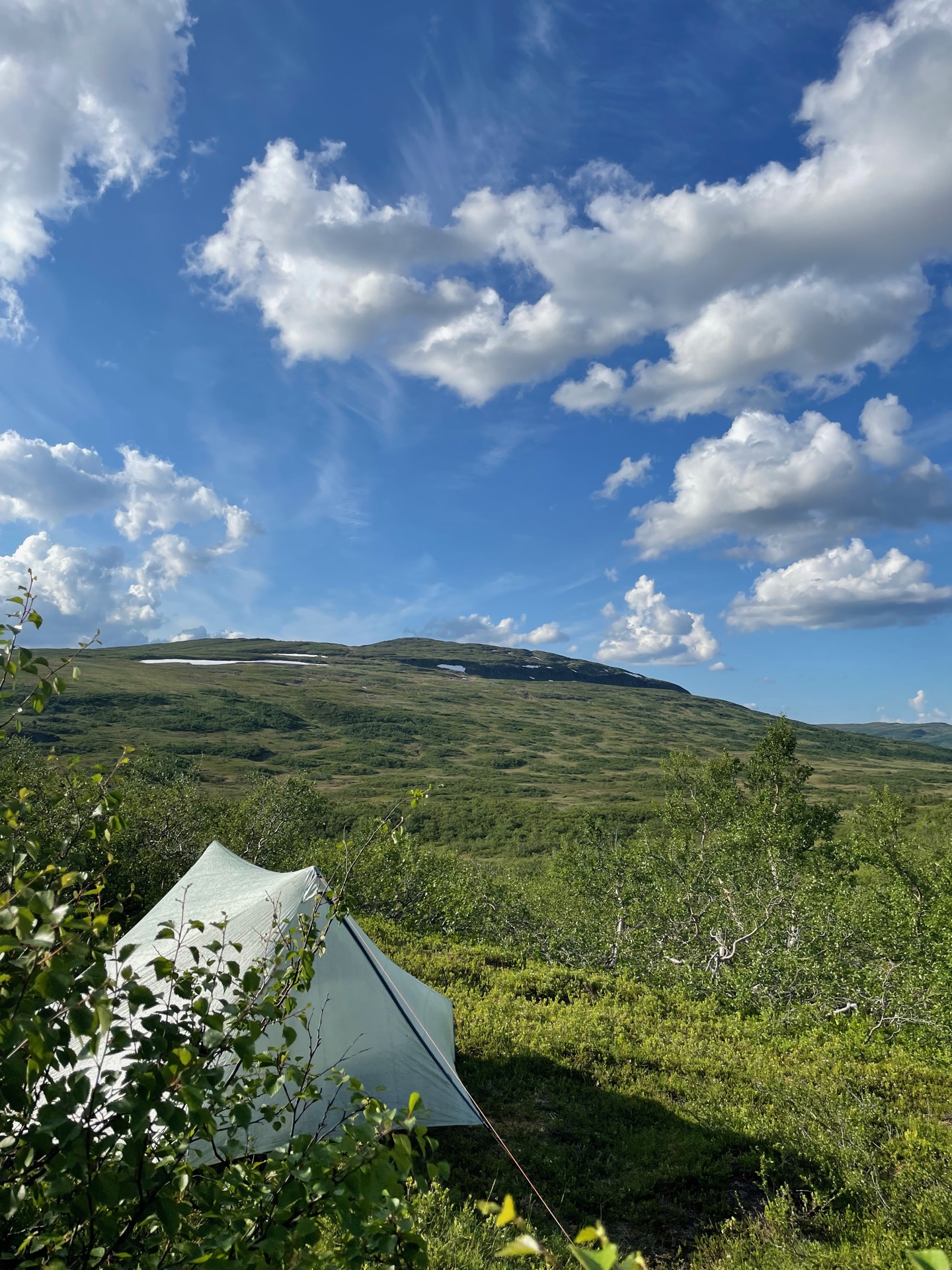
After 5 km of road walking from Anjans Fjällstation, I arrived at the start of the summer trail heading up into Skäckerfjällen. The weather was heavily overcast, with low-hanging clouds, but without a hint of rain. Perfect weather when you plan on doing 500 meters of elevation before lunch.
My first stop was the Strydalen break cabin, just before the climb up to the pass between Anjeskutan (1201 m) and Aahkantjahke (1124 m). I added my name to the guest book below Green Ribbon hikers @rismathias and @jeffreysparrow who came through here two weeks ago. While I was sipping coffee and eating ölkorv, the sun broke through the clouds which soon gave way to blue sky. It made for a sweaty climb up to the pass, but also for a very rewarding view into Strydalen behind me, and Mansjön and Manshögarna in front of me. On my way down, the trail passed next to a dead reindeer fawn. Overhead, an eagle was circling.
Here, the Skäckerfjällen summer trail turns east, first to the Sockertoppen break cabin and then down to the small village Kolåsen. My route continued north, so I left the trail and had my lunch halfway up another pass – between Skeavrayjahke (1191 m) and Opmedstjahke (1197 m). In his book, Jörgen Johansson describes climbing the pass as “hard work, but the views are great on both sides”. Accurate.
For the next 10 km of off-trail hiking, the sun was starting to take its toll. I also made the classic mistake of finding a decent tent site, looking at the map and going “should be a better one soon”, and then spending the next five kilometers trying to find anywhere to get a tent up. I finally found a clearing among some birch trees where the ground was pretty even. The view towards Burvattsklumpen on the other side of the valley wasn’t too bad either.
Tomorrow, it’s time for the obstacle I’ve been the most worried about on my route: fording the river Gaunan. Fingers crossed.
Day 12
June 29 (34.2 km)
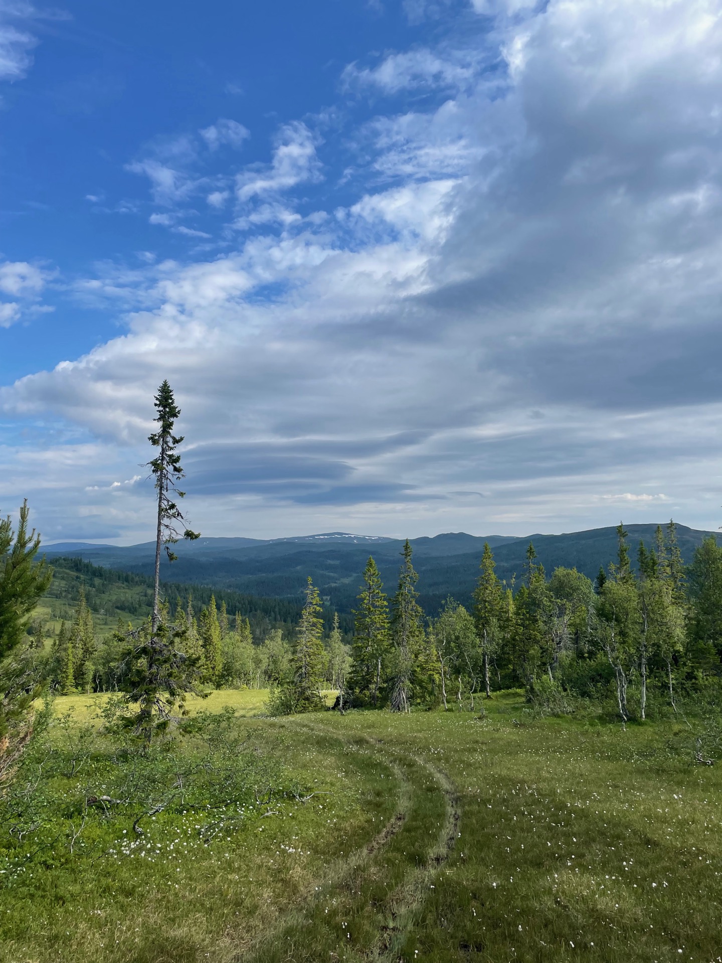
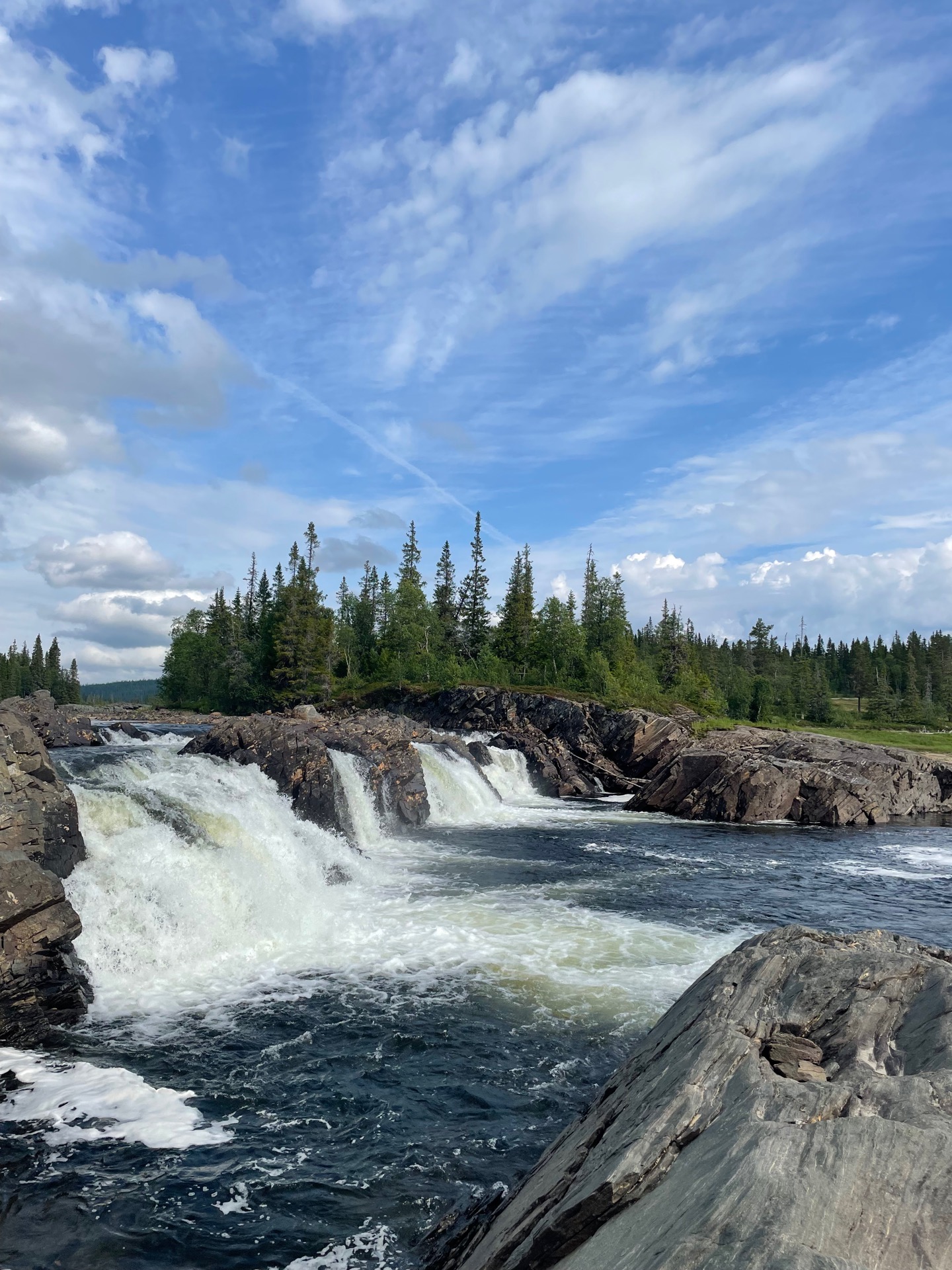

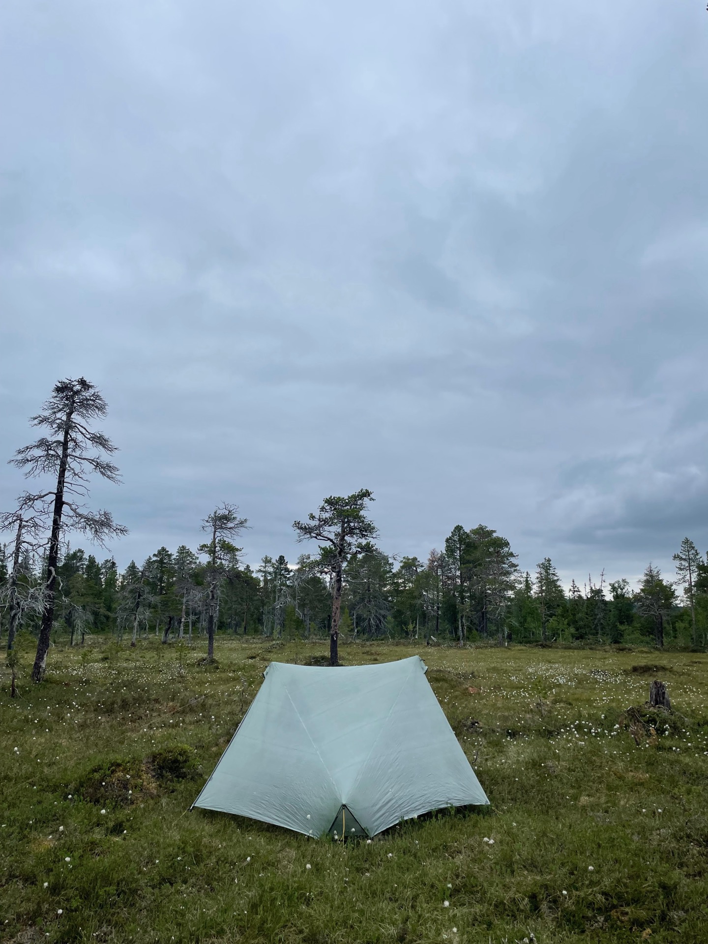
When I woke up at 5:15 after eight hours of sleep and the sun was shining outside, I decided to get going. If you might need to swim over a river later in the day, you want the weather on your side.
But first, I was faced with an unexpected river ford. When I got to the river feeding the lake Burvattnet, the bridge marked on the map was a tangle of metal scrap five meters from the bridgehead. The trail leading from the bridge was there as promised though, so when I had crossed the river, I could follow the quad trail all the way to the lake Torrön and the river Gaunan.
It’s been warm and light on rain recently, so I had held out hope that I would be able to ford Gaunan, rather than swim over it. At the narrowest point in the river, there’s a rock formation that should be above water if the river is fordable there. It wasn’t. I found a spot a few hundred meters upstream where I could ford to a small island one third over the river, and swim the remaining 20 meters or so.
To prepare for the swim, I changed into my rain gear, laced my shoes as tightly as possible, moved all lose items inside the backpack, and wrapped my backpack in my tent to help it float and prevent it from getting too wet. Then I got into the river. To my surprise, the water never reached higher than my waist. I made it all the way across with my backpack hoisted above my head. After all that effort preparing for a swim, I was slightly disappointed that it hadn’t been necessary. So I dumped my backpack on the shore, fell back into the river, and floated for a while. I had made it across Gaunan. Even without the swim, it was my most difficult river ford so far. I was proud of myself.
Afterwards, I sat down on the beach to get my gear back in order and have lunch. The rest of the day was slow going as I made my way from Gaunan up to Gaundalsfjället and got some nice views over the lake Torrön. Strong Norrlands Guld vibes. I put up my tent east of the fjäll homestead Edevik. Tomorrow, I head up into Sösjöfjällen.
Day 13
June 30 (29.4 km)
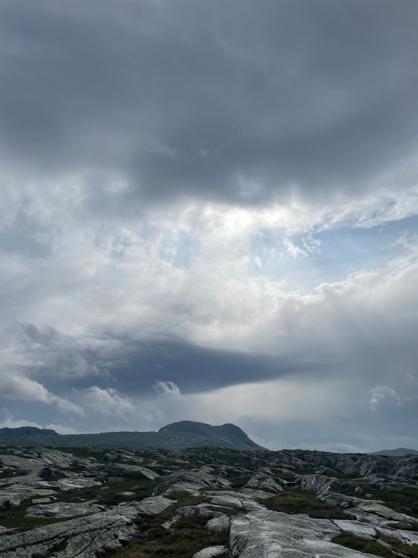
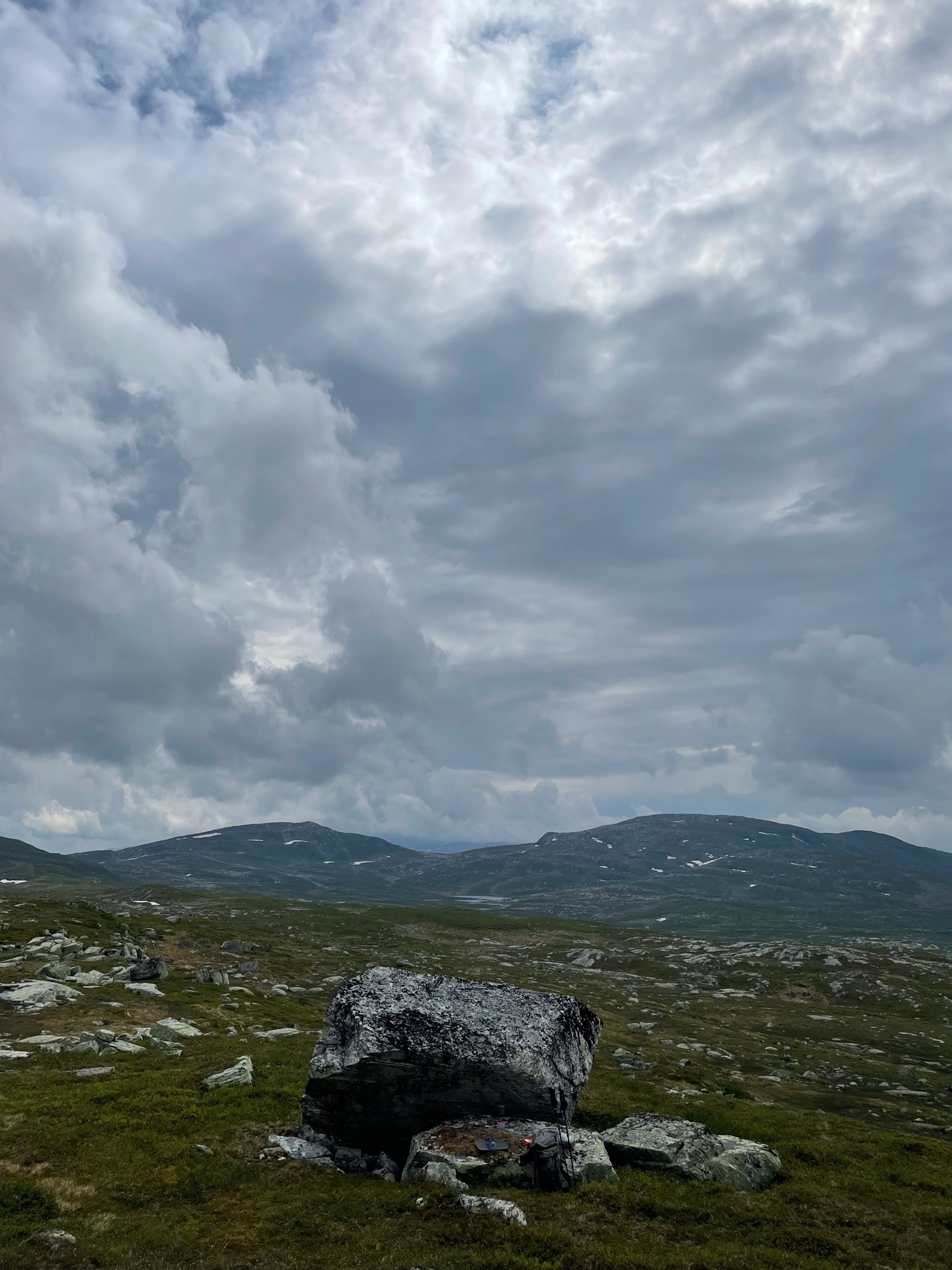
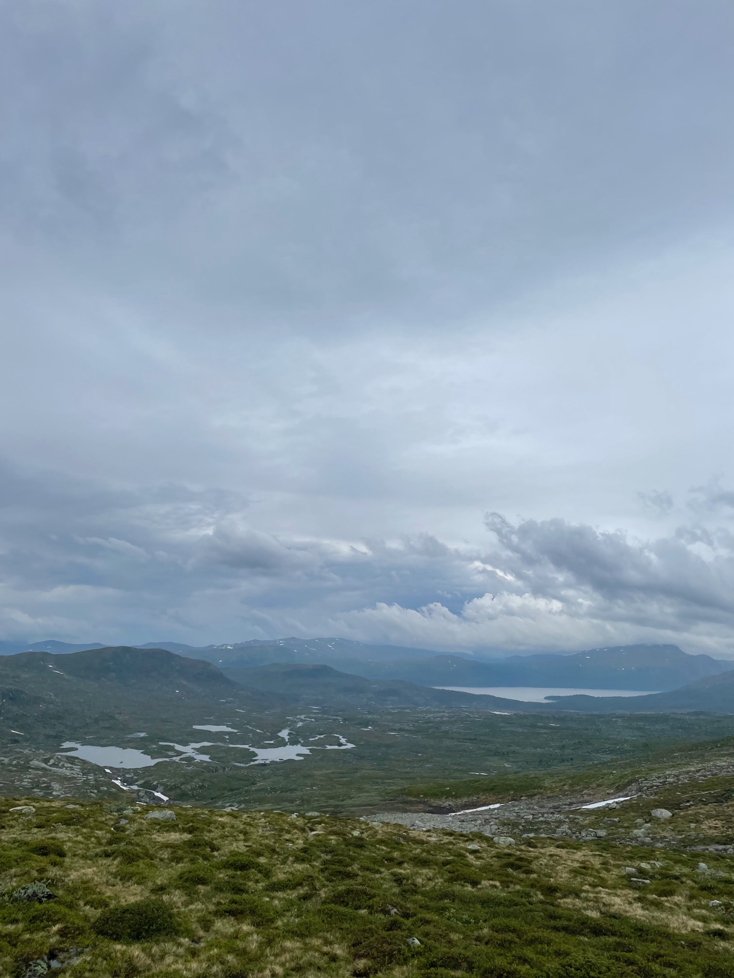
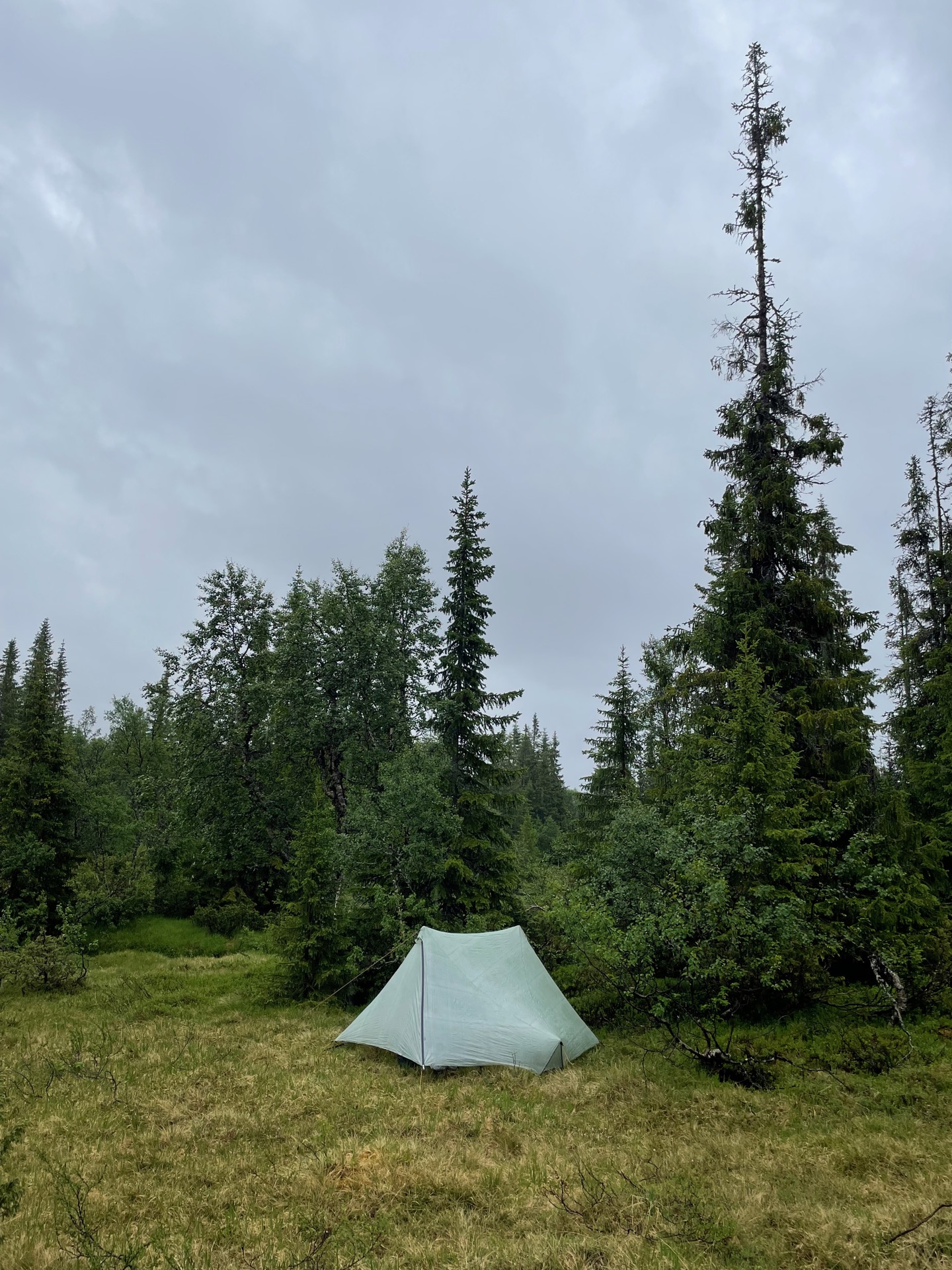
Two personal records were set tonight: the earliest I’ve fallen asleep while hiking (~19:45), and the highest number of gnats collected inside my outer tent during the night. When I woke up, I thought it was raining outside, but no – it was the sound of hundreds of blood suckers hitting tent cloth. Disgusting little creatures.
After an hour of climbing over, around and sometimes through trees dead and living, angled at every degree from 0 to 180, I reached the tree line of Sösjöfjällen. They were an excellent reward. Despite there not being a single marked trail in the entire nature reserve, hiking over the exposed veins of bedrock running from east to west was fun and easy, with beautiful views over the lakes to the south and impressive peaks to the north.
My route continued up to the pass between the mountains Majkstjahke and Riepietjahke, from where I could take in the northern peaks of Sösjöfjällen to my left, Offerdalsfjällen in front of me, and Mjölkvattsfjället to my right. The views you get in these remote mountains are something else. Sösjöfjällen have definitely been a highlight of the hike so far.
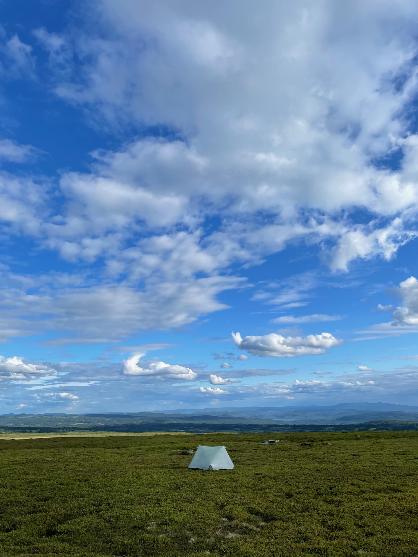
While I stood there taking in the scenery, some mean looking clouds were making their way towards me over Mjölkvattsfjället. As I followed Fisklösån east out of Sösjöfjällen, the rain steadily grew stronger until I decided that it was time to call it a day. I put up my tent in a clearing close to the Sami camp Tjovre, with the rain beating down on me. Special thanks to Montbell for reliable rain gear.
After three hours, the rain paused long enough for me to take a look outside. The nearby creek gave a good indication of how much it had rained. When I put up my tent, there wasn’t enough water in it for my water bottle to stand vertically. After the rain, the creek was overflowing. A good reminder about keeping rising water levels in mind when choosing a tent site. I later learned that the weather service had issues flood warnings for the area.
Day 14
July 1 (33.4 km)
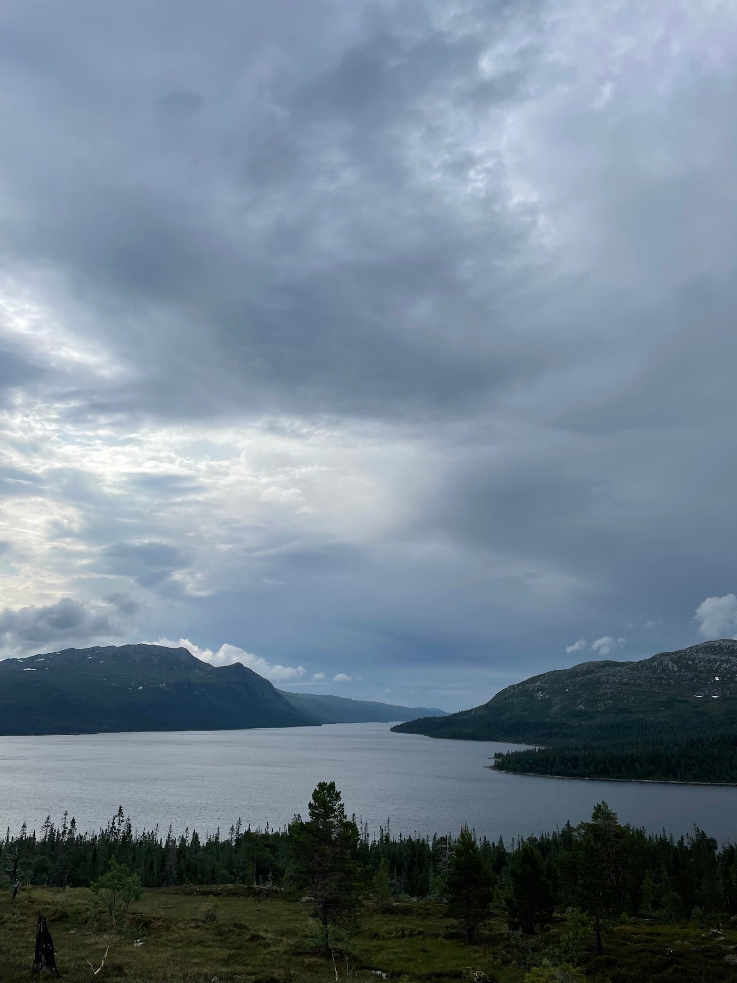
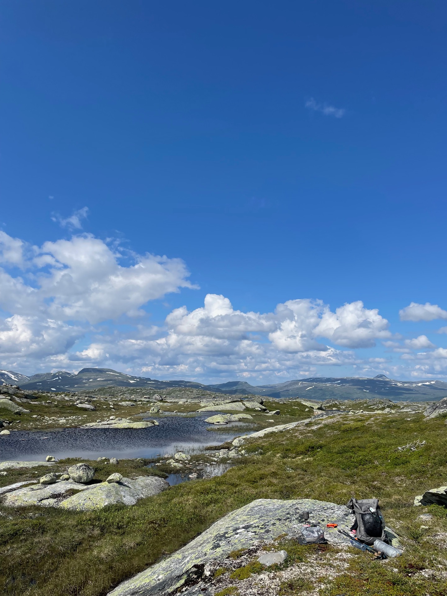
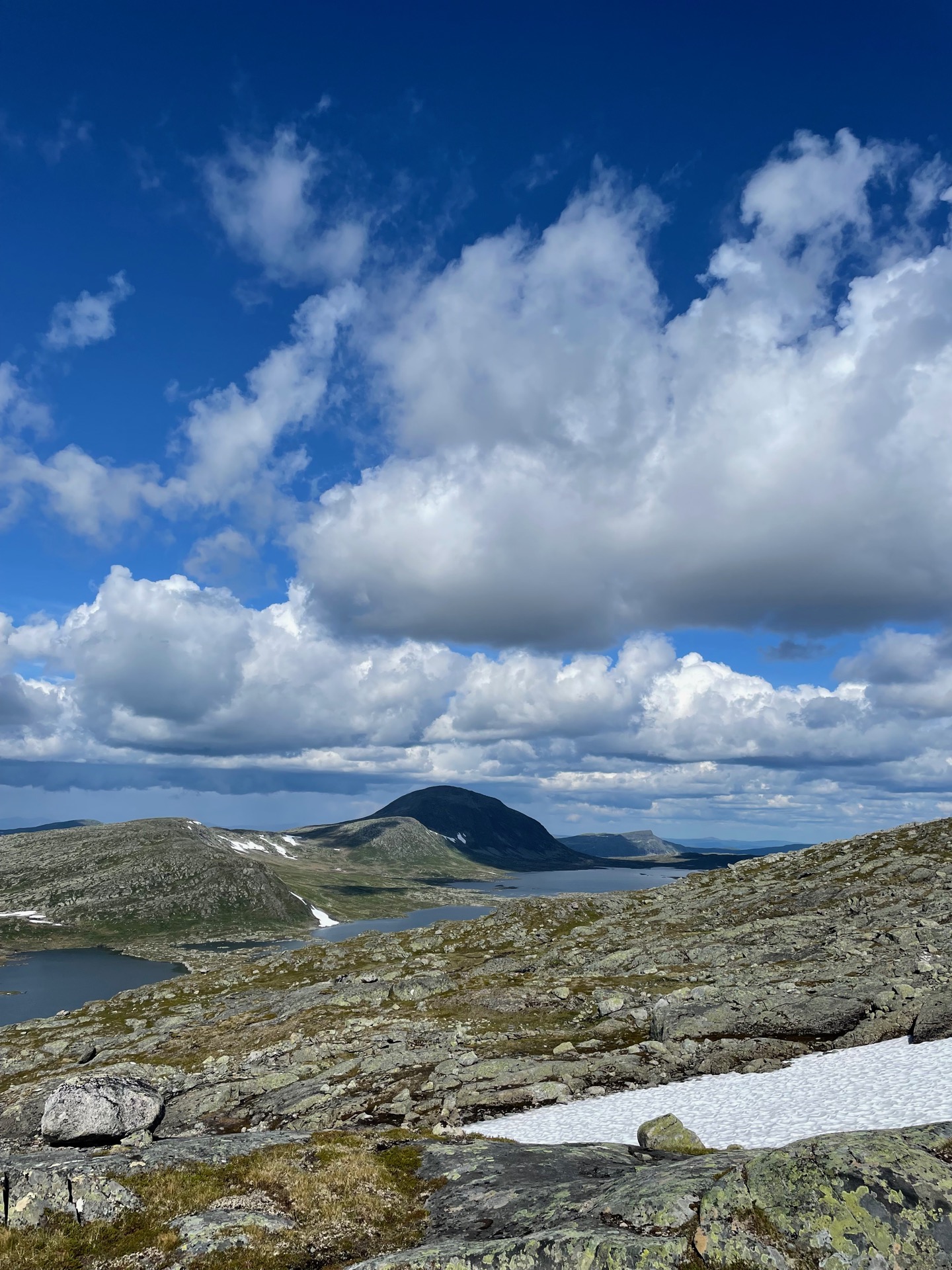
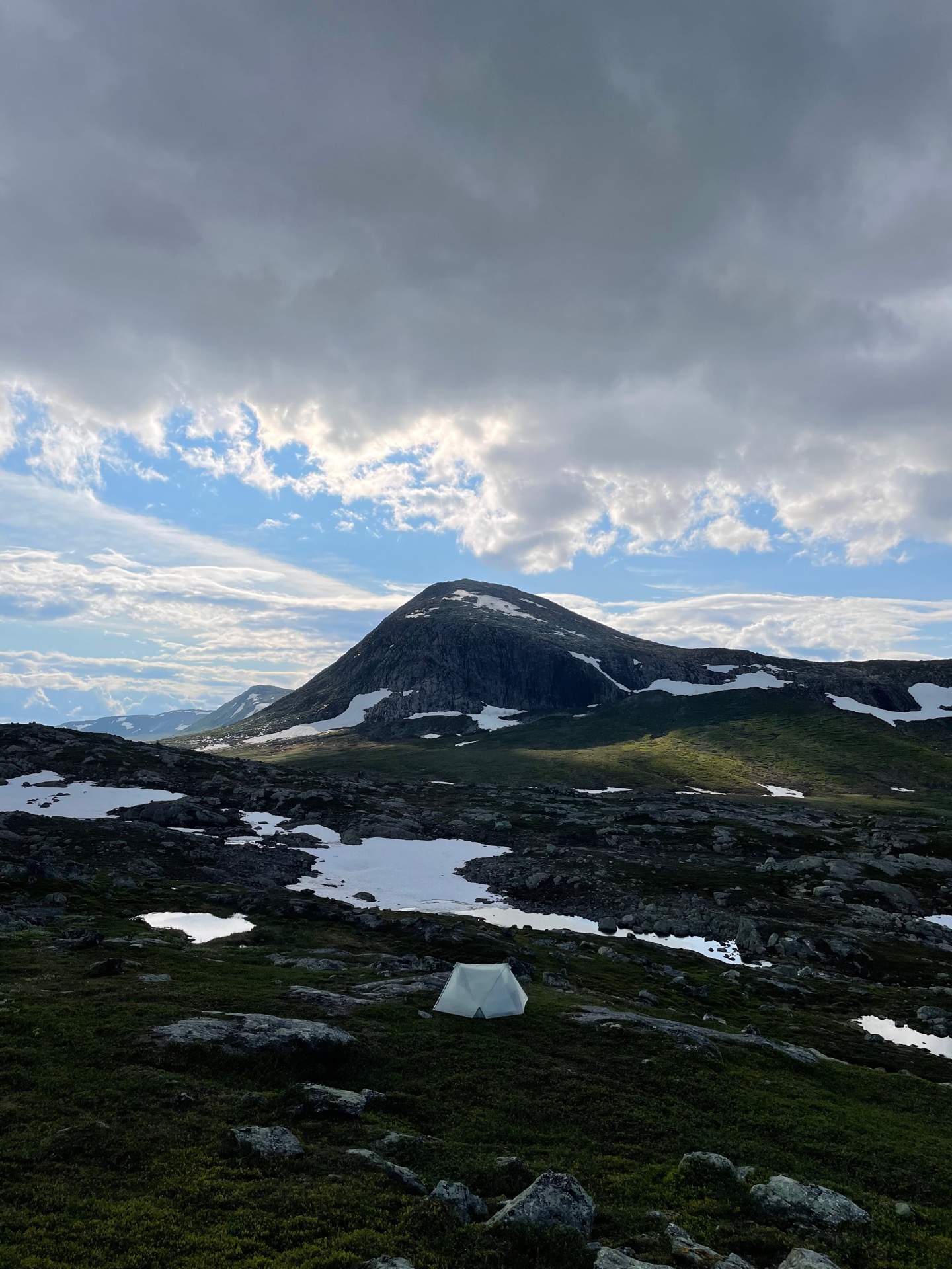
The previous night, I had made camp a kilometer from the small Sami camp Tjovre. A bridge in the camp allowed me to cross Fisklösån, which had swelled to a thunderous roar from the rainfall during the night. A sign by the bridge told me that I was entering Svenskådalens nature reserve. From there, I could follow a winter trail to the large dam that would help me across the lakes Burvattnet and Mjölkvattnet. To my surprise, the dam was a construction site with heavy machinery and several worker barracks, but without a human being in sight. I borrowed a picnic table next to the service building for my coffee break. The deserted construction site in the middle of nowhere was a little spooky.
After I had crossed the dam, a steep climb next to a rushing stream took me above the tree line and into Offerdalsfjällen. Like its western neighbor Sösjöfjällen, Offerdalsfjällen has no marked trails and few visitors. My destination was the Grubbdalen nature reserve to the northeast, so after lunch with a view over the peaks on the other side of Burvattnet, I started to make my way towards the mountain Mehkene (1266 m).
My planned route rounded Mehkene to the northwest before turning east into a valley with three large lakes, but when I looked at the map, I noticed a pass at 1050 m on the western slope of Mehkene. Going up there would save me an hour of hiking, with the added bonus of views in both directions. I ignored my planned route and started climbing. It was a good decision. Looking back, I could see all the way to the Burvattnet dam 8 km away and 500 meters down.
The view to the northeast towards the three lakes was just as pretty, and I stayed on elevation for as long as I could until the northern slope of Mehkene got so steep that I had to make my way down. I followed the southern shores of the three lakes east towards the valley Grubbdalen. I had planned on making it down there before calling it a day, but sometimes, you find a tent site that you just can’t turn down.
Day 15
July 2 (36.9 km)

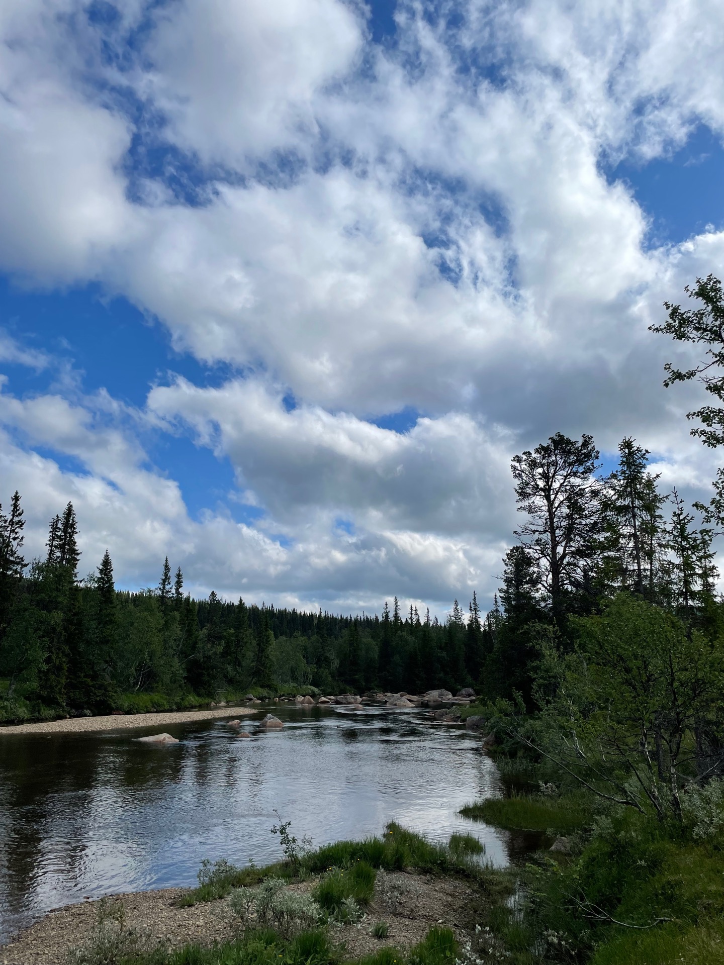
I started my morning by entering Grubbdalen, a lush valley jammed in between Norwegian mountains to the north and Offerdalsfjällen to the west. I followed the tracks of reindeer, moose and bear east along the river Grubbdalsån, and soon got to meet some of the locals. First, I scared up a whole family of fjällripa, with eight-ish chickens scattering in every direction. A few kilometers later, I startled (and got startled by) a moose close to the river. My second Green Ribbon moose. Still no bear sightings.
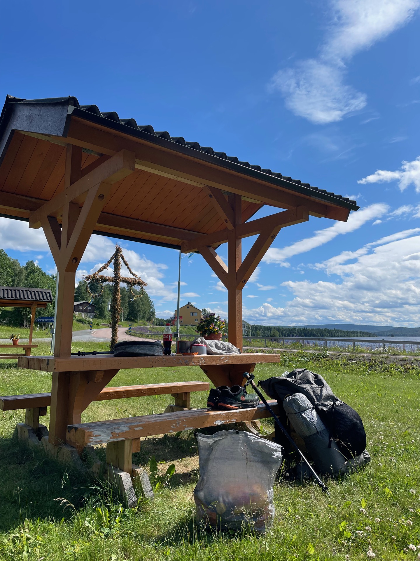
I knew I needed to ford Grubbdalsån sooner or later, but I made the mistake of following the winter trail on the south side of the river for too long. The river, which had been barely knee deep further upstream, reached the bottom of my backpack when I made it to the other side. Not my finest moment. From there, I followed a quad trail to the old homestead Höberg, which housed two of the eight families living in the valley in the 1800s and is now used by a local fishing association. I borrowed a picnic table for my lunch.
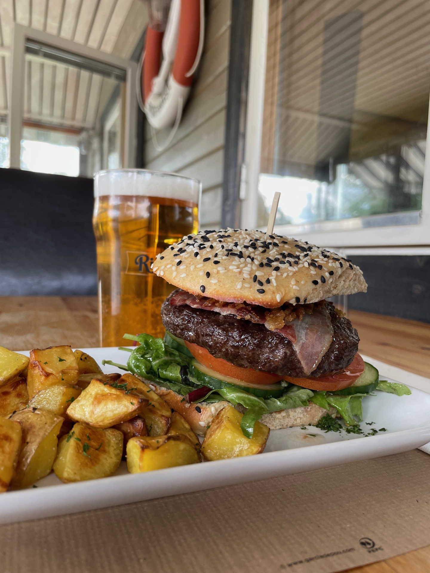
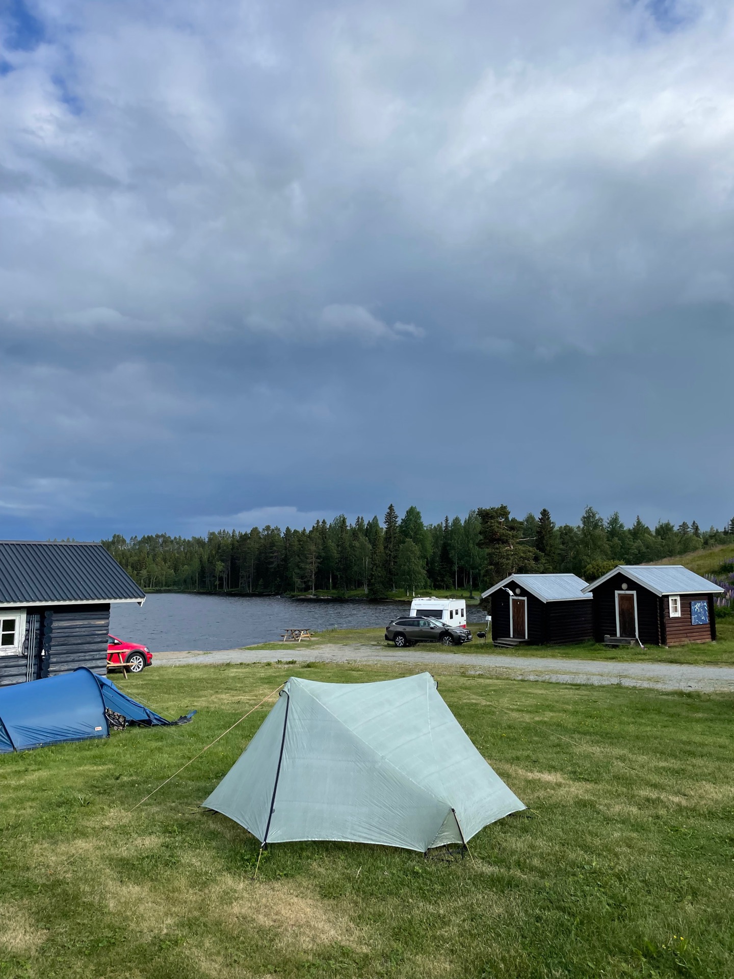
After lunch, I continued on the quad trail from Höberg until it became a gravel road, which then became hard top, which I followed east to Rörvattnet and the land of people and cell phone reception. I stopped by the fishing camp to see if they had any snacks for sale, and was instead met by a sign advertising bear burgers. With that and a beer in the tank, the final five kilometers to Rötviken flew by. I pitched my tent at the camping, and when I visited the common room to charge my power bank, I met @mairazilauaa who’s hiking the Green Ribbon with her dog Hugo. It was fun to end the day swapping stories and plans while we waited out the rain.
This is a good time to thank Jörgen Johansson, who described this route through Skäckerfjällen, Sösjöfjällen and Offerdalsfjällen in his book about the Green Ribbon. It’s been tough but rewarding. Still, after five days without seeing another human being, I’m looking forward to hiking closer to civilization for a bit.
Day 16
July 3 (33.7 km)
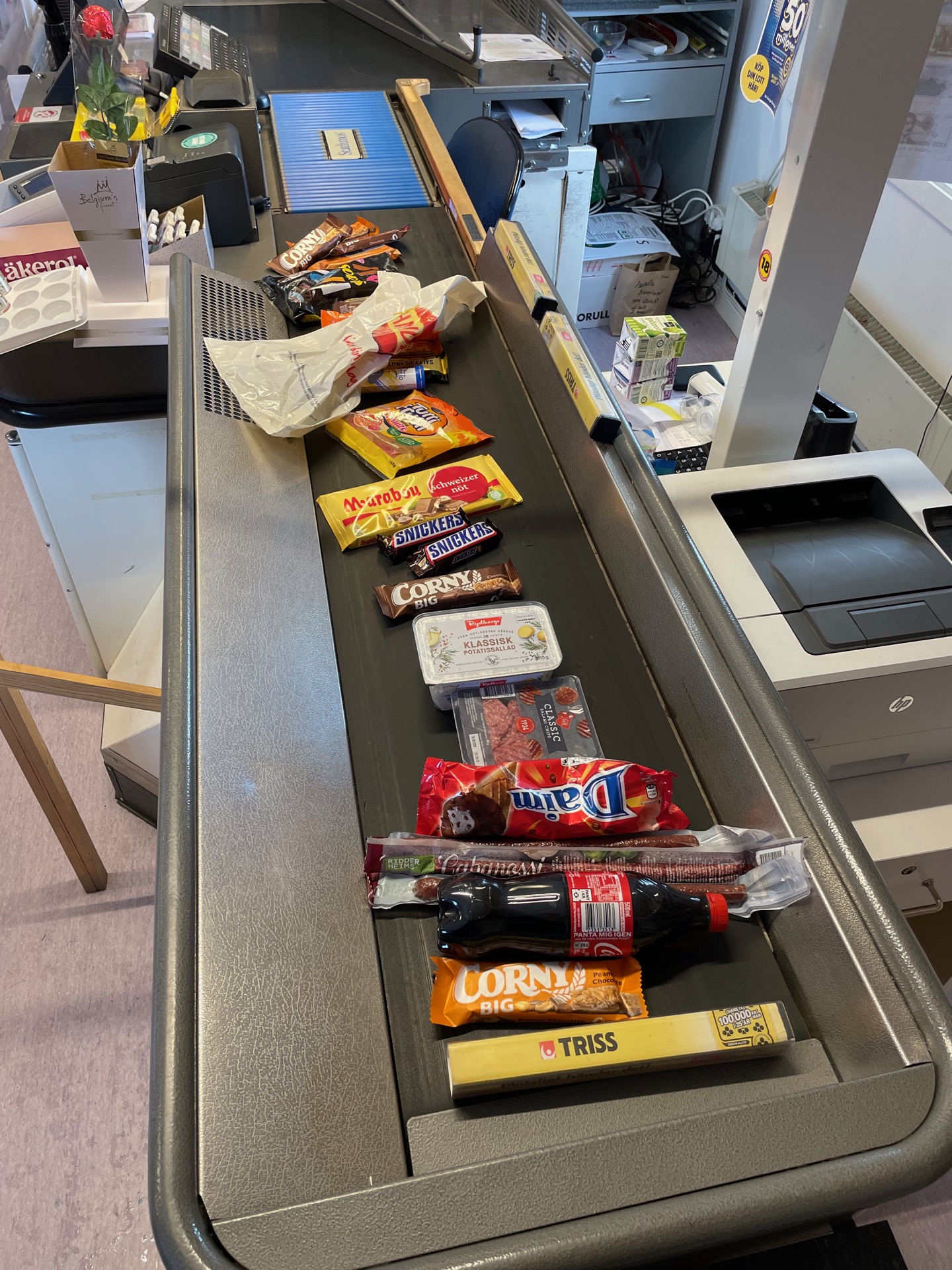

I started the day with breakfast in the Rötviken Camping service house, where a camper with strong umemål took one look at me, decided I didn’t speak Swedish and asked me a question in English. Is it the sun bleached hair?
I paid my tent fee and bought some food (cough cough candy ice cream soda cough) at the local grocery store before I left Rötviken heading north. It’s been a road walking day, but with pretty surroundings. The road follows the shore of the lake Hotagen to Kyrknäset and the Hotagen church, built in 1861, crosses the stream Toskströmmen where I had lunch, and continues along the lake Valsjön to Valsjöbyn. I stopped by the store to buy more food (cough cough) and met Henrik, another Green Ribbon hiker, who’s stayed in Valsjöbyn for three days while waiting for a replacement backpack. It’s been nice to get a chance to meet people again after five days in the wilderness.
In Gunnarvattnet, my feet gratefully got to step on trail again after 24 km of road walking – even if that trail subjected them to 400 meters of elevation in 9 km. On the other end of those kilometers was Penningkeisen, a mountain split down the middle by the Swedish-Norwegian border and my neighbor for the night. I’ll probably spend the entire day tomorrow above the tree line as I continue north along on the border.
After I put up the tent, I walked to the closest stream to find a stone to help secure one of my tent pegs. On the way, I scared up a fjällpipare (Eurasian dotterel) just one meter in front of me. When I looked closer, I realized why the bird had waited so long to take flight. The little nest with four perfectly arranged eggs is one of the most beautiful things I’ve seen in the Swedish mountains.
Day 17
July 4 (27.8 km)
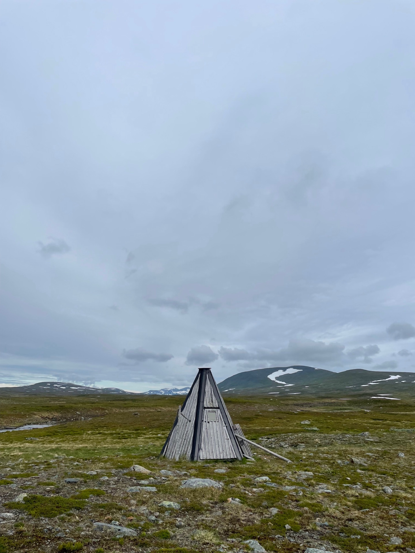
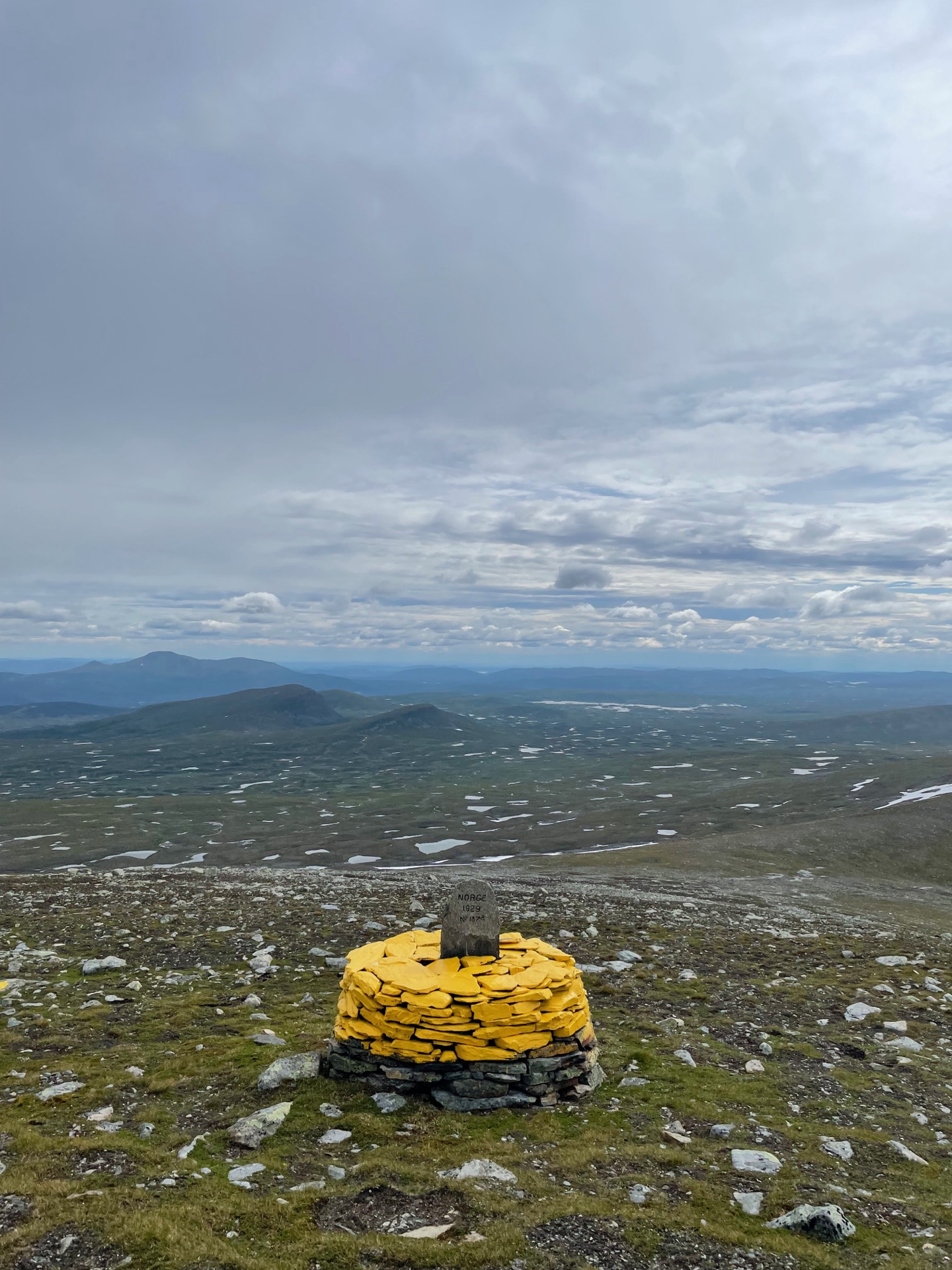
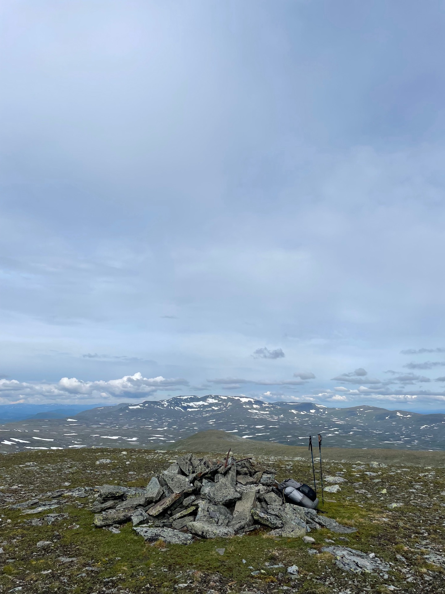
I woke up above the tree line, and my plan for the day was to put up my tent before my route took me back down again. That meant it would be a shorter day, with time for a detour. After I had crossed Tvärån, my route took me up on the eastern shoulder of Murfjället, the tallest mountain in Hotagsfjällen at 1263m. That was my detour. The peak was on the Norwegian side, just west of border cairn 187A, and from there I had 360 degree views over Hotagsfjällen on the Swedish side, and Lierne nasjonalpark on the Norwegian side. The latter had the more impressive peaks. Typical Norway.
The previous night, @bjornlilja wrote to let me know that the easiest place to cross Avansbäcken, north of Murfjället, was 100-200 meters on the Norwegian side. Since I was already on the border, I spent the rest of the day following it north. First along the ridge line of Murfjället to border cairn 188, then over Avansbäcken (ankle deep, thanks Björn!), then to cairn 188A next to Avansfjället where I had lunch, and finally to one of the northern peaks in Hotagsfjällen: Sjulterklumpen (1006 m). It had looked like a promising place for a tent on the map.
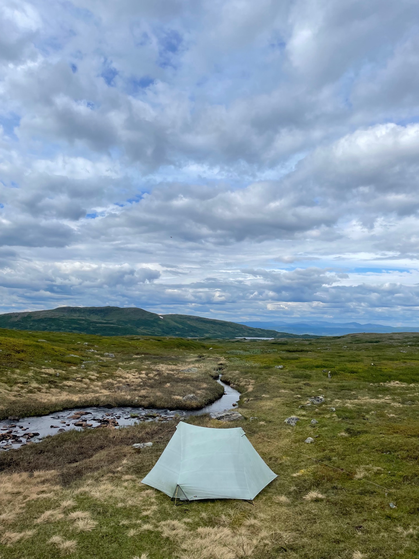
The valley between Sjulterklumpen and Akkarumpen on the Norwegian side turned out to be a bit of a wind tunnel. I eventually found a sheltered spot next to a stream, with a nice view over the fjäll on the other side of Ströms vattudal. It’s been a good day in Hotagsfjällen.
Tomorrow: Gäddede!
Day 18
July 5 (26.1 km)
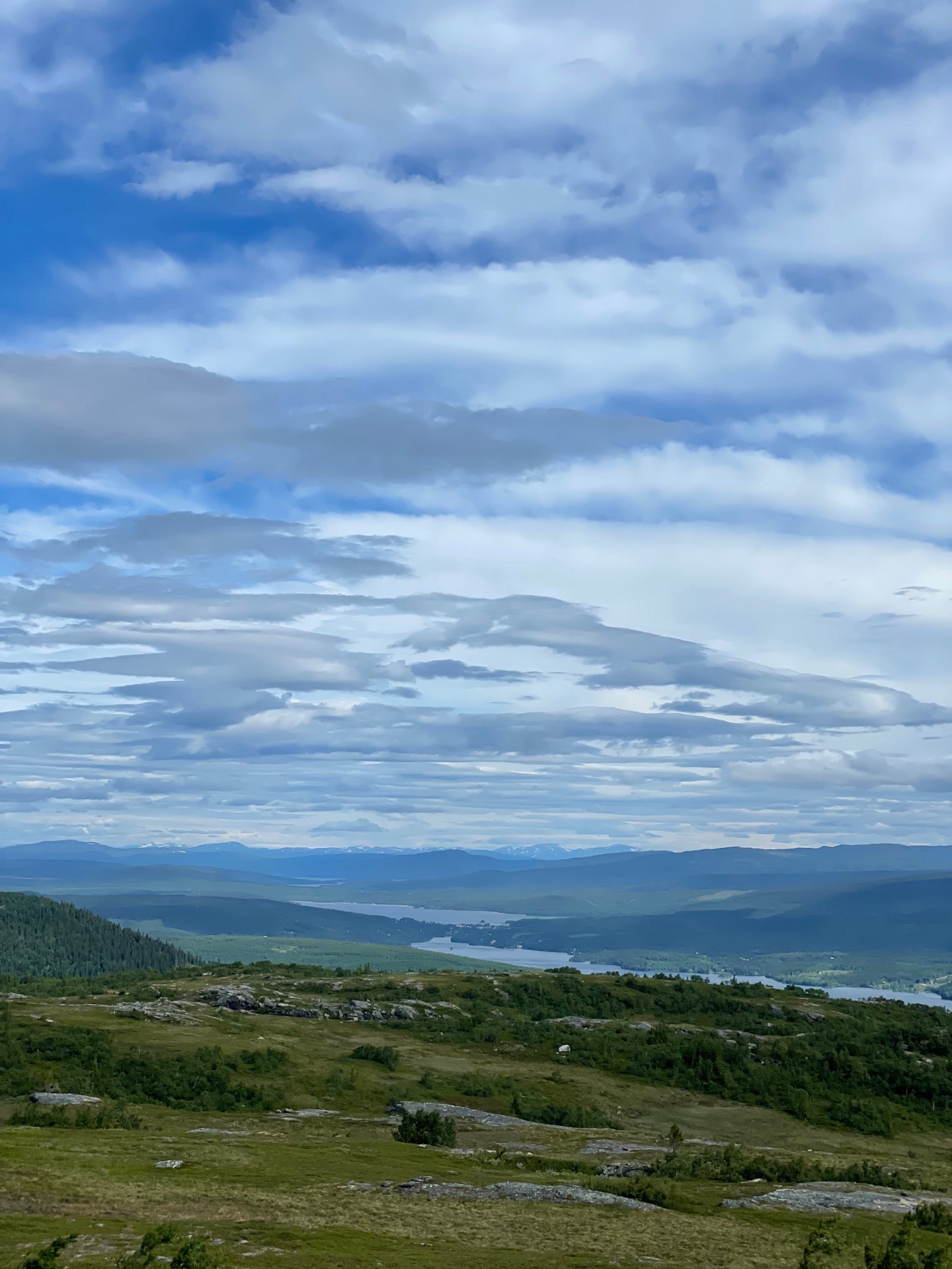
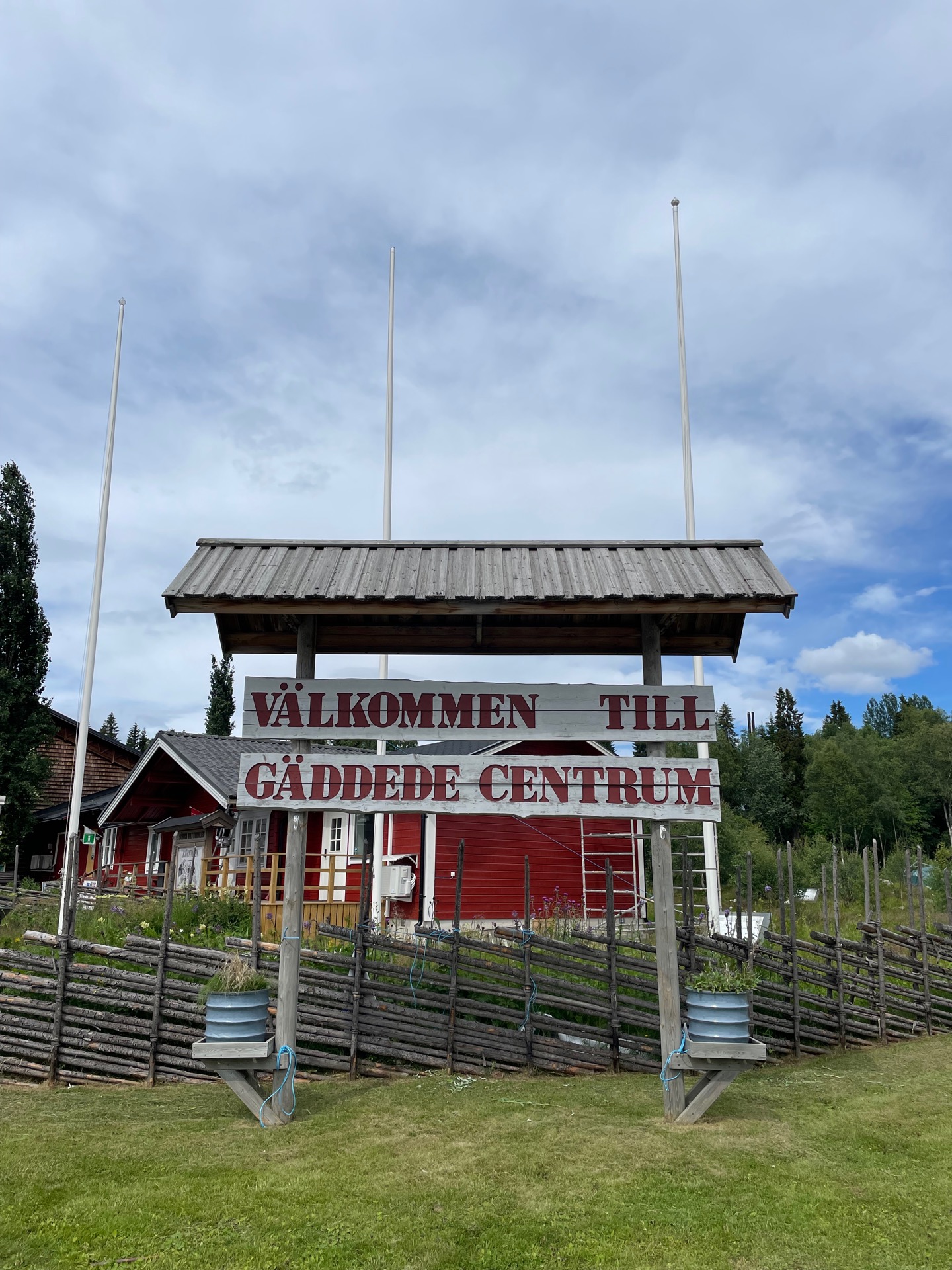
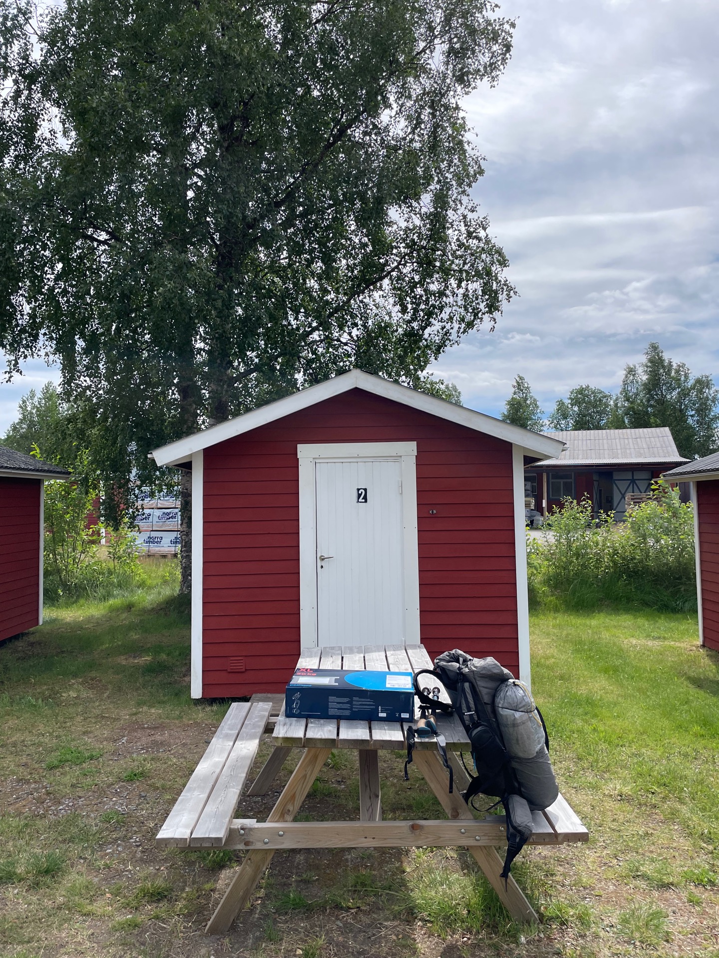
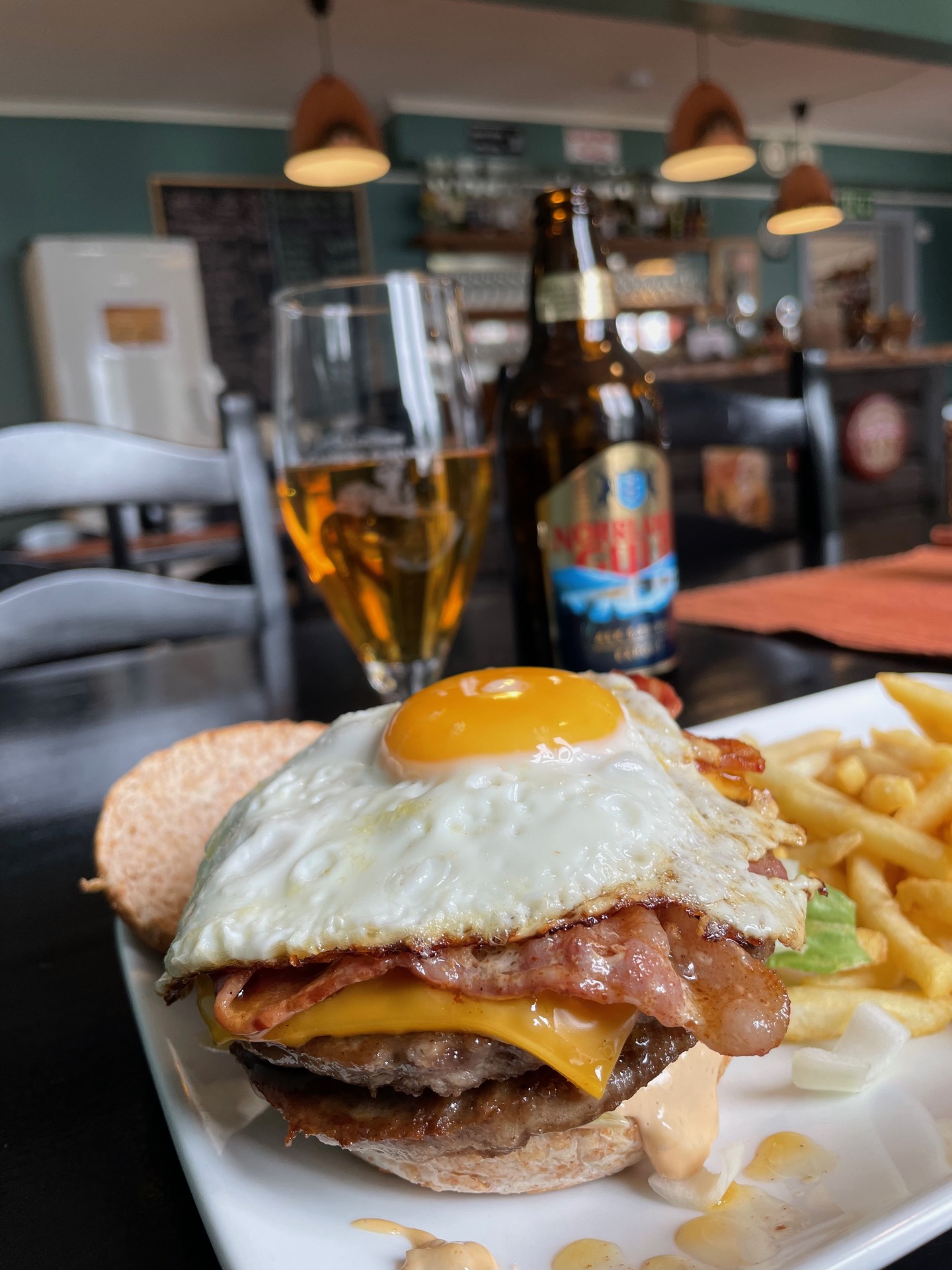
Early in the day, I arrived at the small mountain Käringberget where I had panoramic views over the water system Ströms vattudal and, more importantly, the town Gäddede at its center. Since the beginning, I’ve told myself that if I make it the 500 kilometers to Gäddede, I’ll make it all the way to Treriksröset. Now here I was.
Gäddede had a special reputation among Green Ribbon hikers, since the lakes in Ströms vattudal funnel more or less everyone through here. Another reason for its reputation is without a doubt Gäddede Camping, which generously offers all registered Vita Gröna Bandet participants a free night in one of their cabins, if there’s room. They also have a separate guest book for Ribboners. It’s always fun to read the notes of those who’ve come before you, and to add something of your own.
An hour after I arrived, I had installed myself in my cabin, unpacked my third resupply box, showered and washed some clothes, and was sitting in the restaurant with a beer in my hand and a burger in front of me. Tomorrow, I continue north towards Klimpfjäll. The forecast looks promising, my body feels good, and I no longer smell like wet insoles. All is well.