This is the diary from my 2023 Green Ribbon hike through the Swedish mountain chain. For an introduction to the hike, see part 1.
Day 47
Aug 3 (25 km)
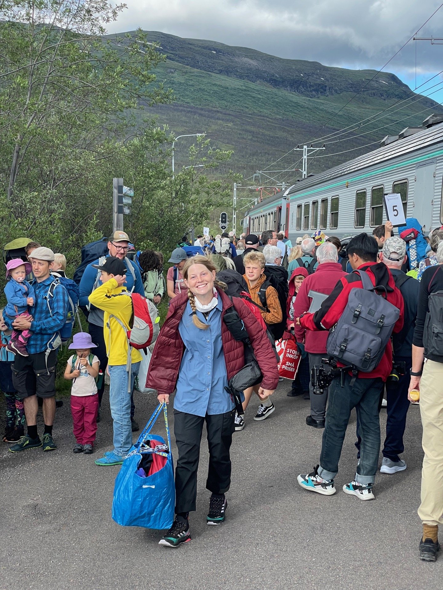
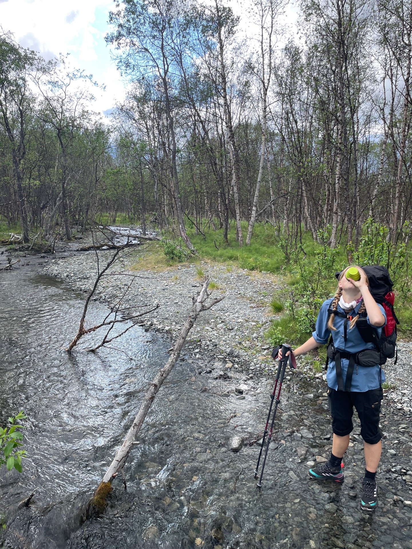
Finally! After a month and a half apart, me and Rebecka were reunited at the train station by Abisko Turiststation. I’m very excited that we’re going to finish this hike together, but first, we’re doing a little side quest. This is Rebecka’s first time in Abisko, so we’re doing a three day Abisko tour that’ll take us to Abiskojaure, Kårsavagge, Låktatjokko, Njulla, and then back to Abisko. After that, we’ll continue north on Nordkalottleden to complete my Green Ribbon at the Three-Country Cairn.
Once we’d spent some time repackaging food and throwing my old shoes in a dumpster, we set out on the King’s Trail. The highway of the fjäll was busy with excited hikers who had just arrived with the train. It was nice to leave it at the STF Abiskojaure cabins, from where we took the trail to Kårsavagge which is a tranquil country road in comparison. A pretty steep one, though. The trail climbs 650 meters from the Abiskojaure lake to the top of the ridge of the mountain Boazocohkka. We hoped to find a tent spot about 150 meters below the top.
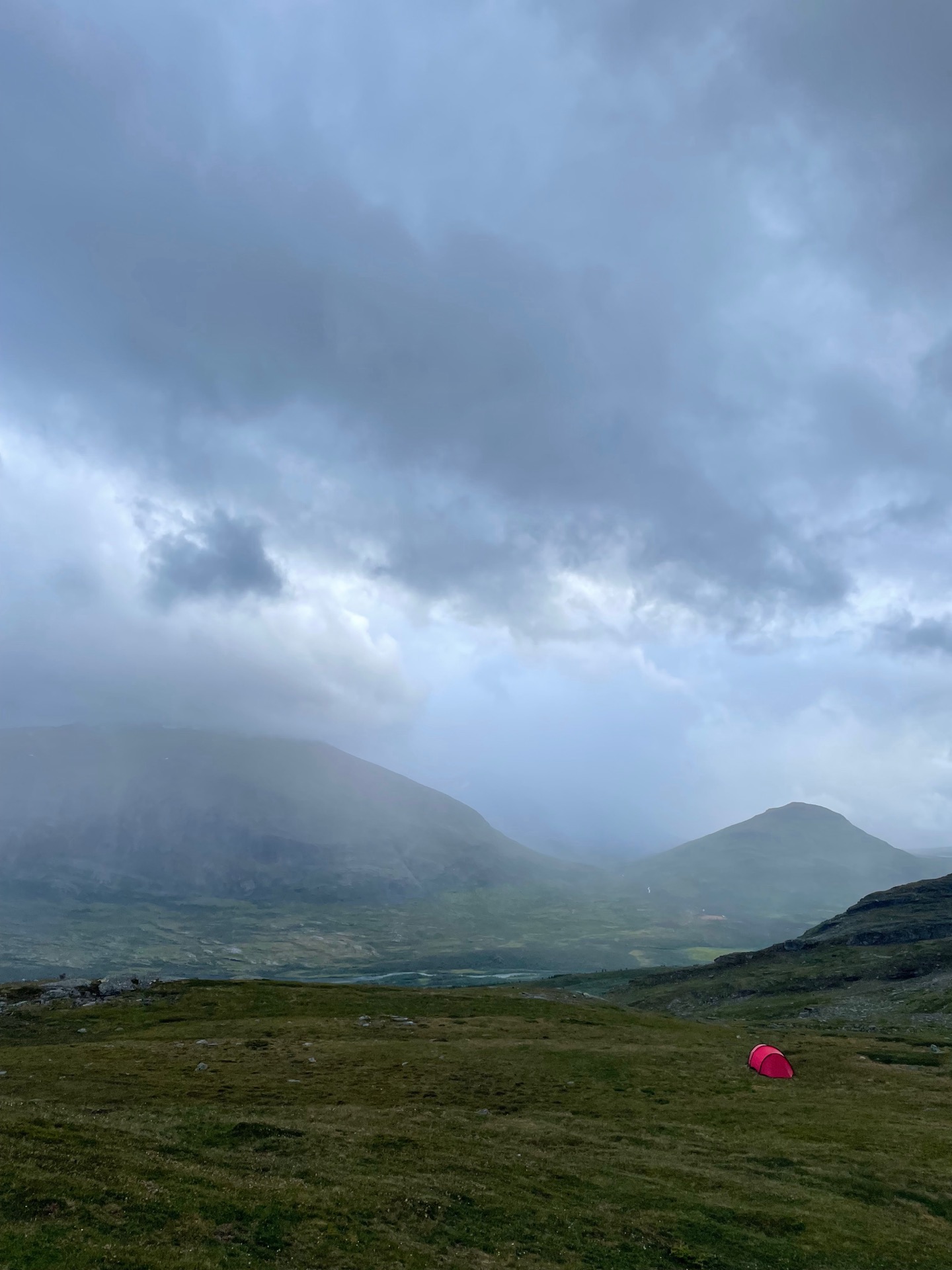
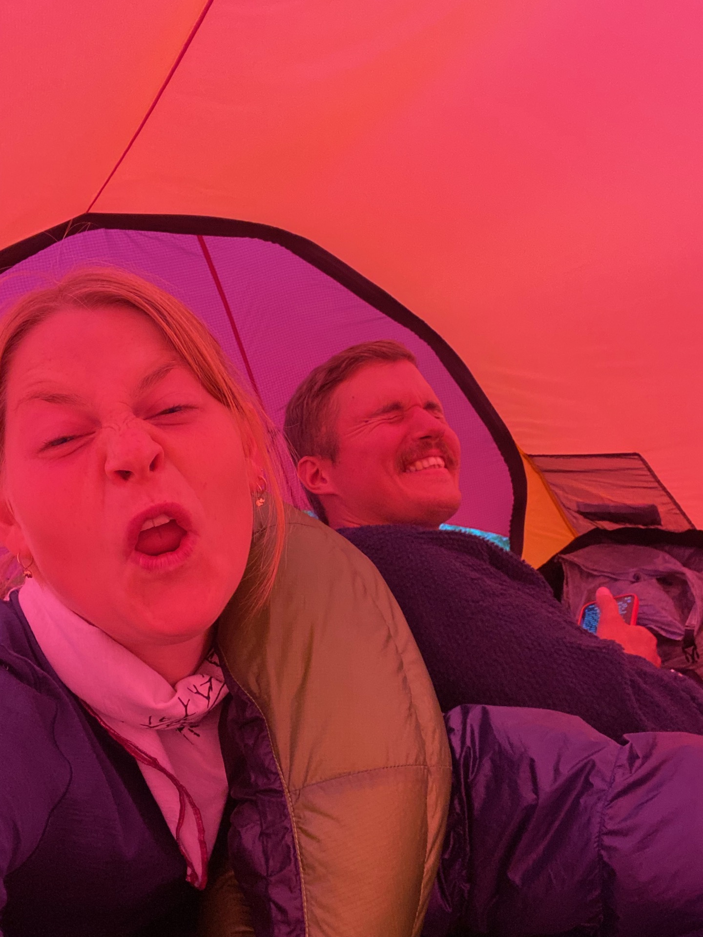
We started to get some impressive views over the mountains Gardenvarri and Giron across the valley as we got above the tree line, but the views soon disappeared behind large rain clouds moving in from the south. We got our tent up just north of the park limit, at 1 000 meters of elevation, before the rain caught up with us. When it cleared up, we could admire the southern end of Abisko national park 500 meters below us.
Day 48
Aug 4 (34.4 km)
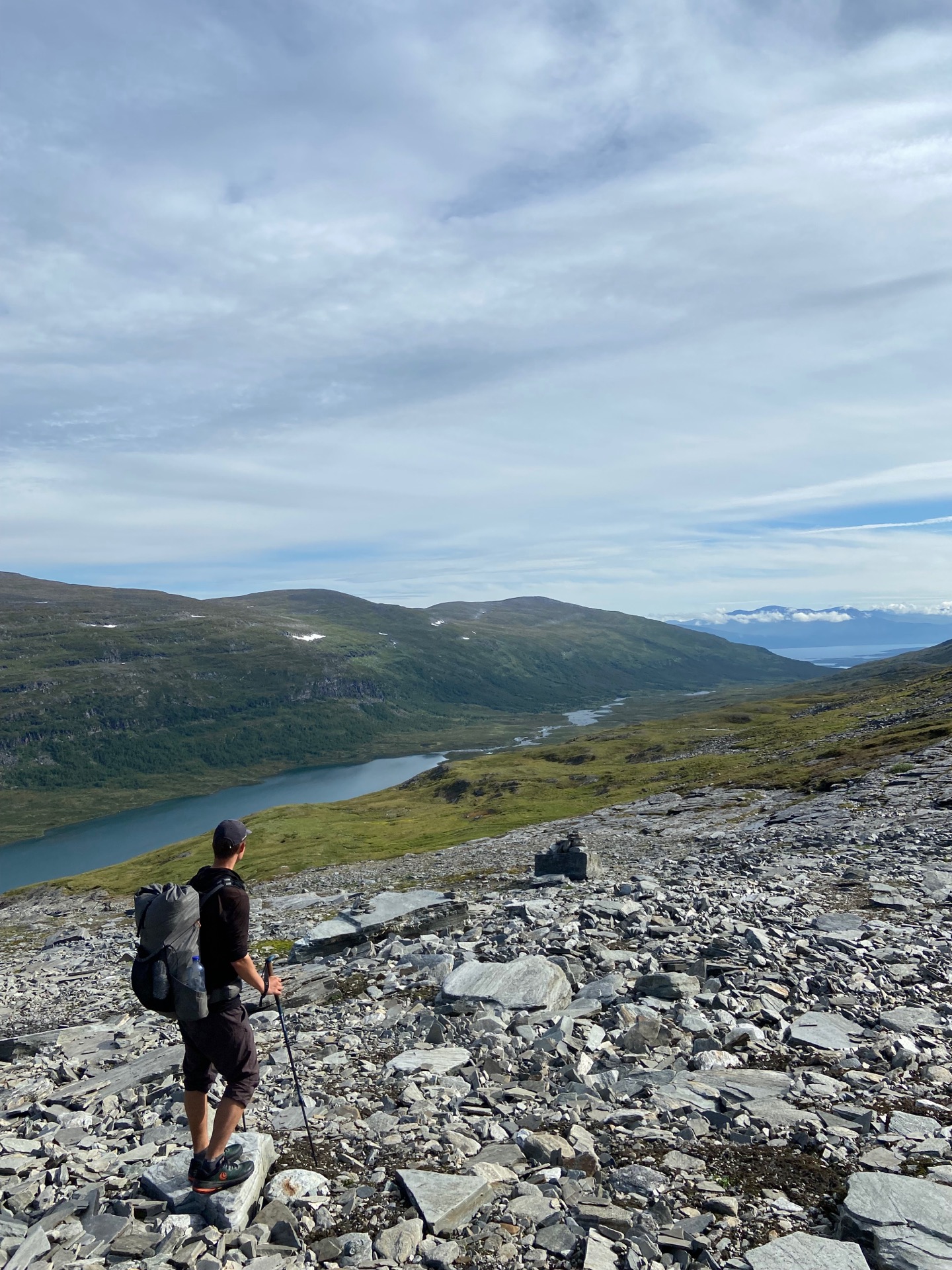
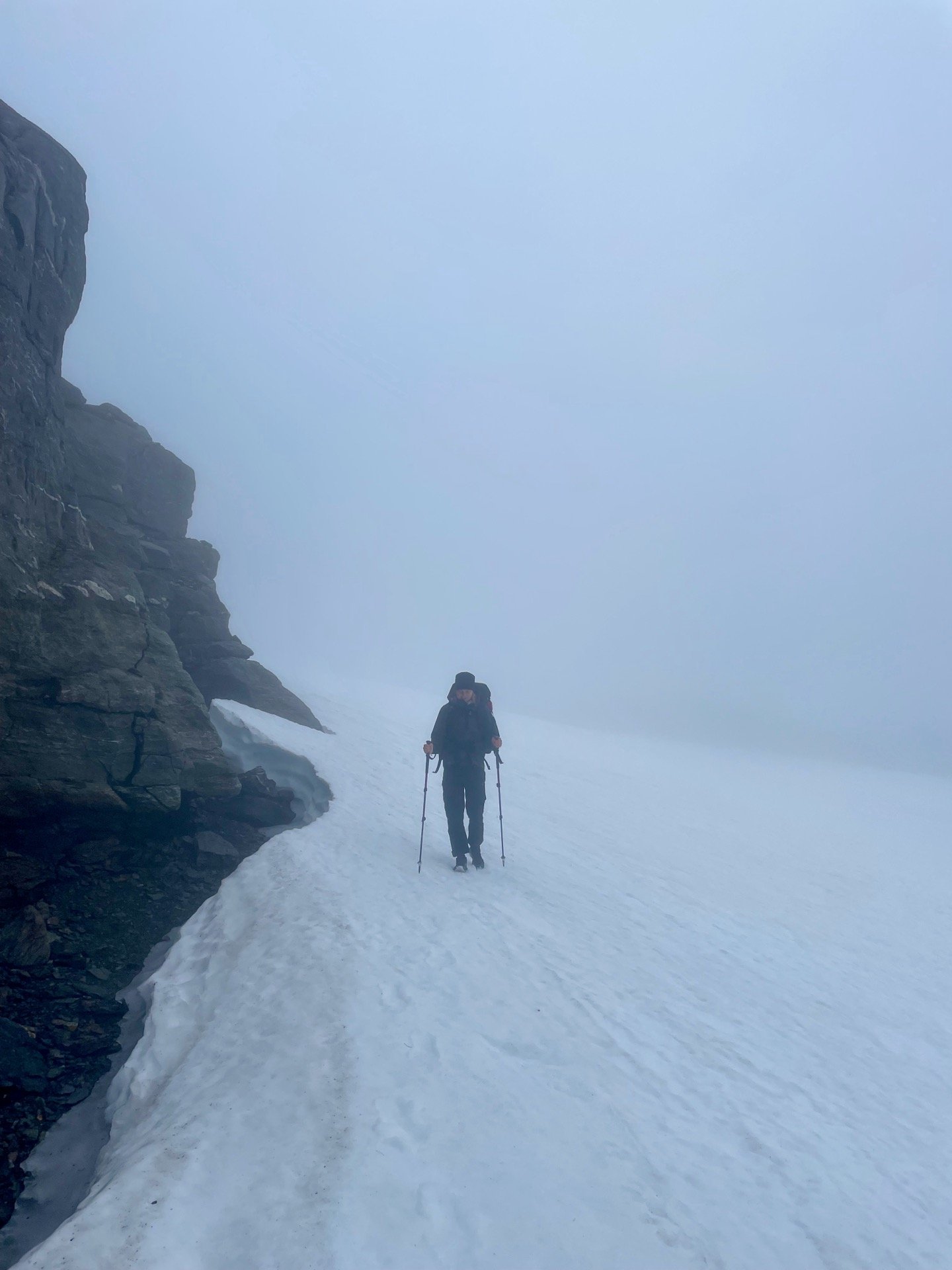
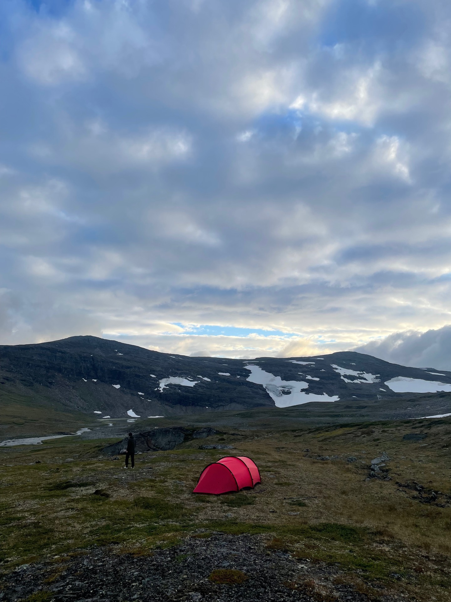
It was my birthday today! I can’t think of a better present than getting to wake up in a tent next to Rebecka, with a stunning breakfast view over Abisko national park. The day started in beautiful weather as we climbed the ridge of Boazocohkka, from where we had fantastic views into the Kårsavagge valley. To the east, we could see the far shore of lake Torneträsk, 30 km away. Little did we know that later in the day, our visibility would shrink from 30 km to 15 meters.
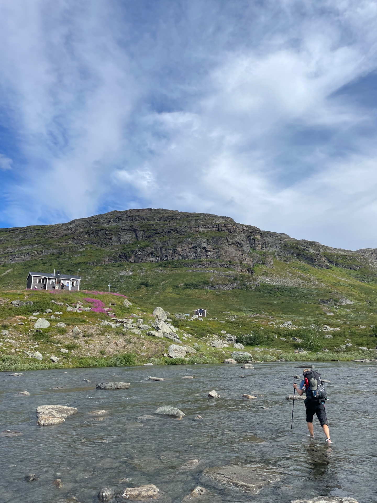
To reach the Kårsavagge cabins from Abiskojaure, you have to do a 40 meter wide river crossing right next to the cabins. The water was shallow, but very cold. After, we took a coffee break in the sun while we chatted with the cabin host. Then the climbing continued. We took the easternmost path from Kårsavagge to Låktatjåkko, and it was steep and pretty in equal amounts until it evened out by the lake Latnjajavri, where the trail took us past a research station focused on arctic flora. For the final kilometers to Låktatjåkko, I thought we could save some time by approaching the mountain station more directly off-trail. We did not. Especially not when the fog rolled in. When we reached the station, the building materialized out of thin air when we were a stones throw away.
Låktatjåkko is the highest mountain station in Sweden at 1 228 meters and famous for their waffles, so of course we had some. It’s also the highest bar in Sweden, so of course I had a beer with mine. Having a table by the window didn’t count for much on this visit, but the waffles were delicious. When we left Låktatjåkko, we followed the trail to Måndalen in tricky terrain and massive snow fields that gave us a bit of trouble in the dense fog. It wasn’t until we descended to the Kåppatjåkka break cabin that we left the fog behind. After another hour of blissfully simple hiking, we pitched our tent next to the river Gohpasjohka, not far from Njulla. When we were in our sleeping bags, Rebecka asked me to look away for a bit. Ten minutes later, she presented my birthday dessert: chocolate and vanilla pudding with oatmeal thins and dried raspberries. She’s the best. I love you, Rebecka.
Day 49
Aug 5 (33.2 km)
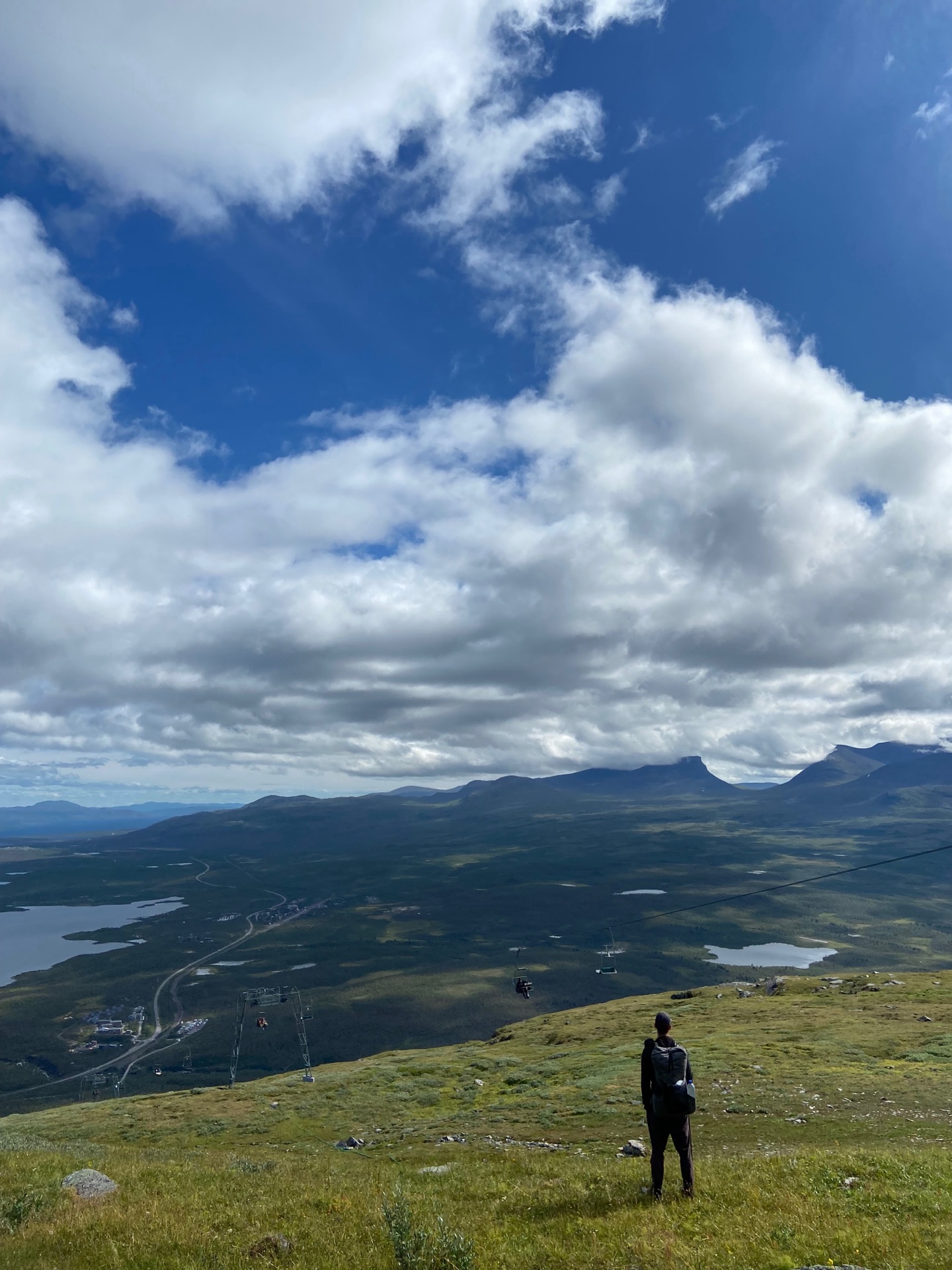
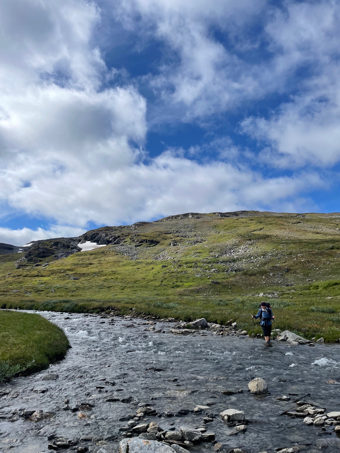
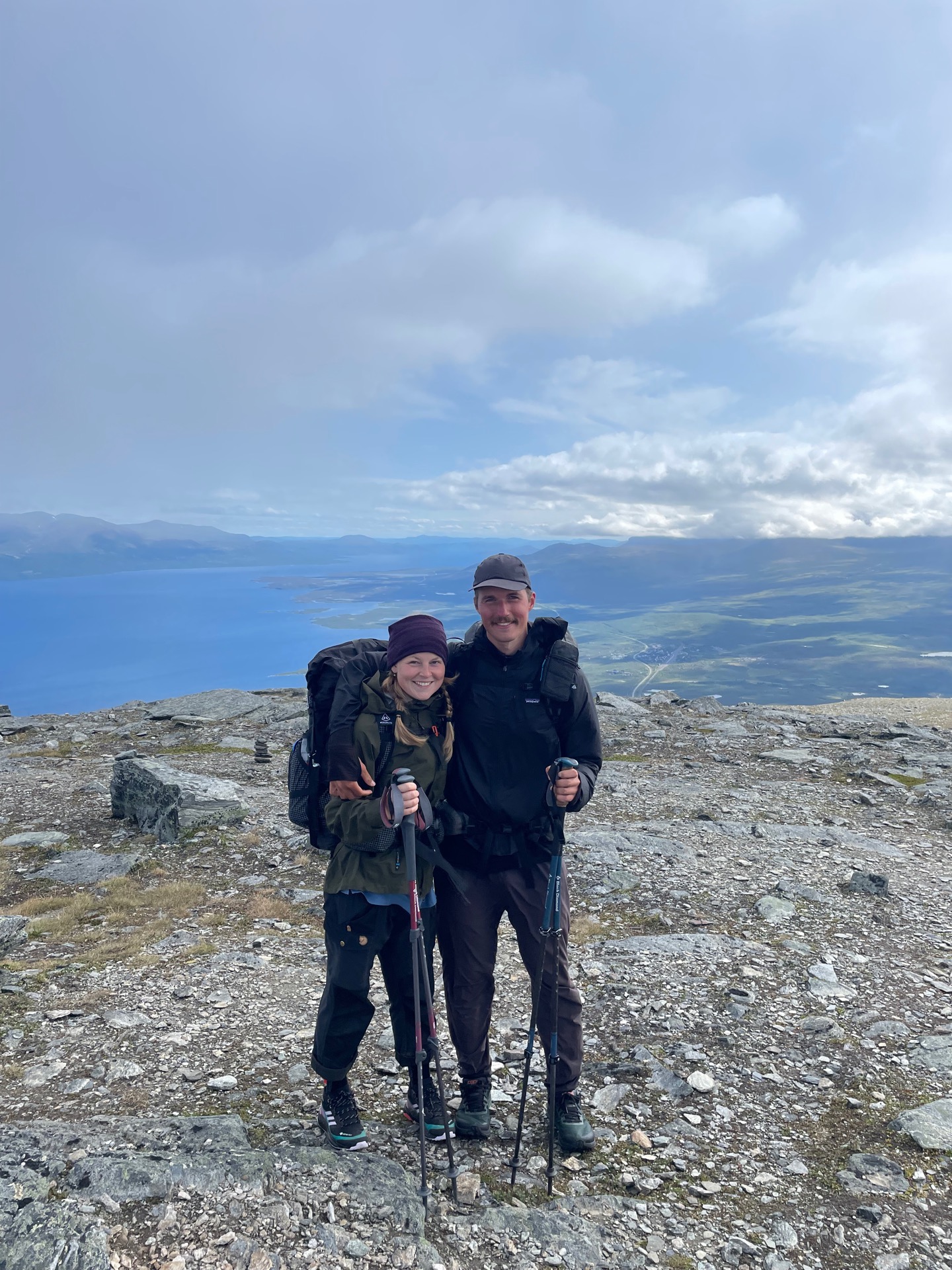
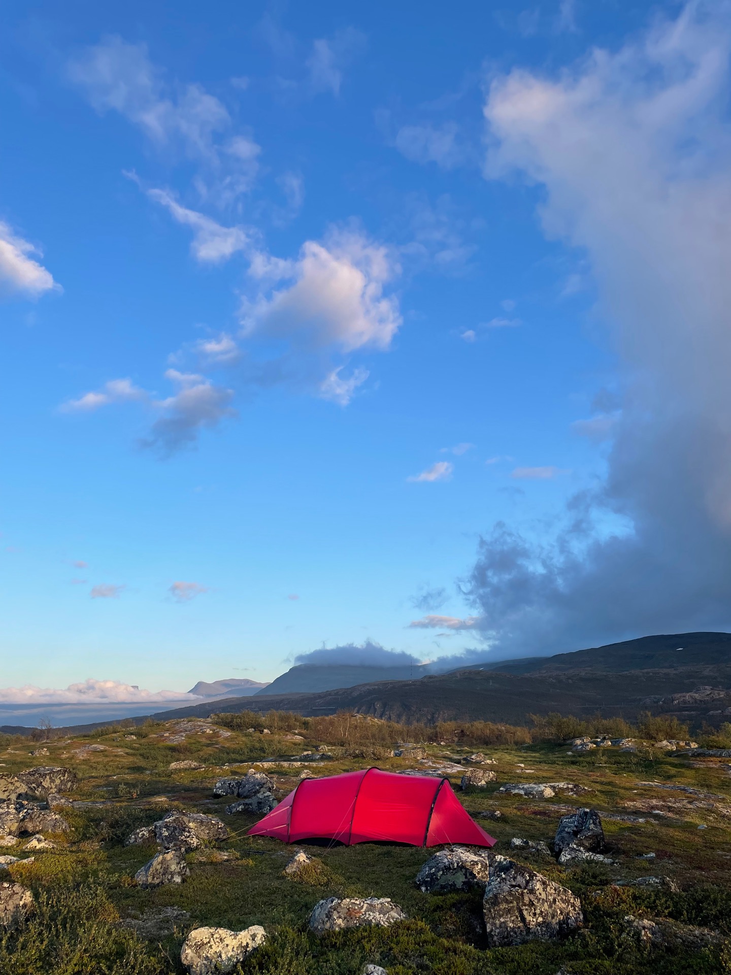
Me and Rebecka started the day by setting our sights on Njulla – a 1169 meter tall mountain right next to Abisko national park and the lake Torneträsk. We followed the river Gohpasjohka down into the valley, forded it and climbed to the summer trail that leads to Njulla from Björkliden. The trail was easy to follow to the pass between Njulla and Skåttatjåkka, and from the pass, we followed the ridge upp to the peak. The view was a little bit limited due to fog, but when we started to descend to Abisko, we got a great look at the U-shaped valley Lapporten.
Our return to Abisko Turiststation marked the end of our little side quest in Abisko. After we picked up the food we’d left in the baggage room, we left the mountain station to start the final section of my Green Ribbon: Abisko to Treriksröset! 160 kilometers on Nordkalottleden, which we think will take us five to six days. The first stretch between Abisko and Björkliden was neither pretty nor interesting, but the trail – Rallarleden – got a lot better from there. It’s named after the navvy (“rallare”) that built the railroad between Kiruna and Narvik 1898-1902, and follows the maintenance road used during its construction. It passes the navvy graveyard, where 50 workers were buried. The dedication on the commemorative monument states “In memory of those who remained”.
We put up camp a kilometer north of the European road E10, not far from the Pålno cabin. We’ve had good views of Lapporten on and off throughout the day, but we didn’t mind having one more from our tent spot.
Day 50
Aug 6 (26.4 km)
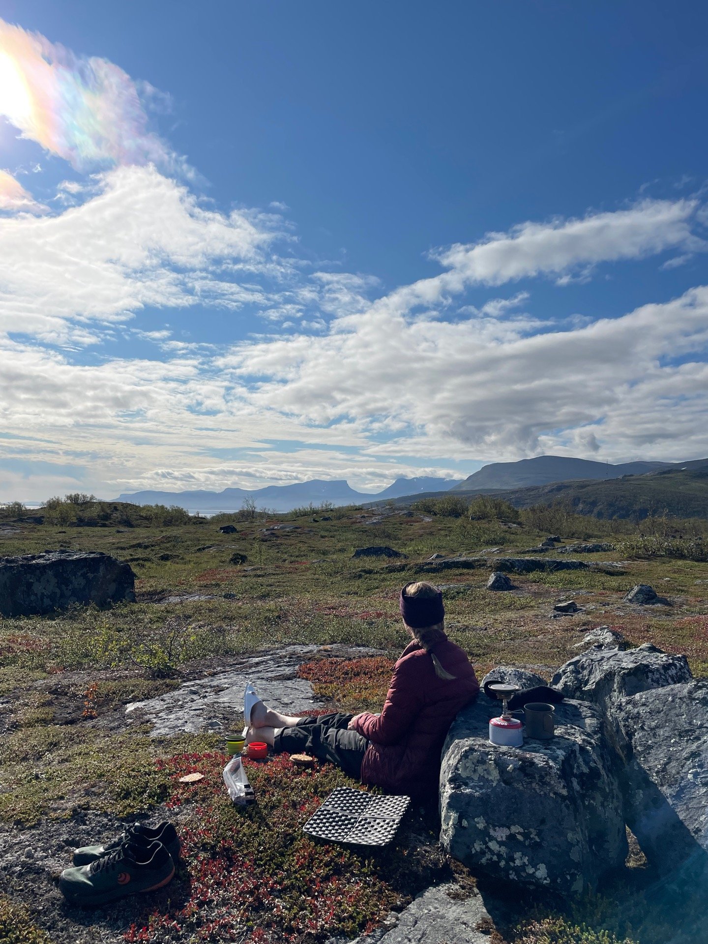
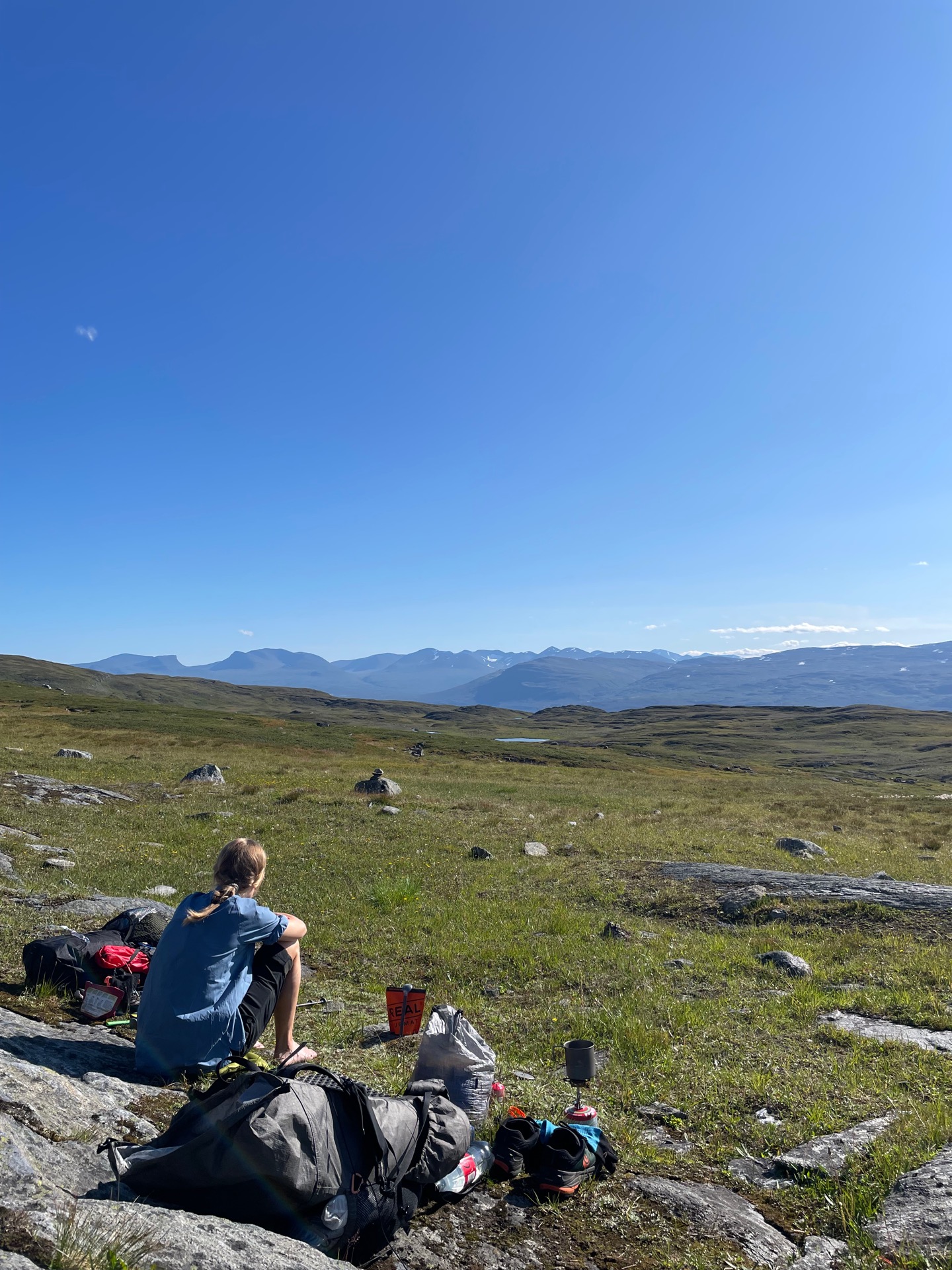
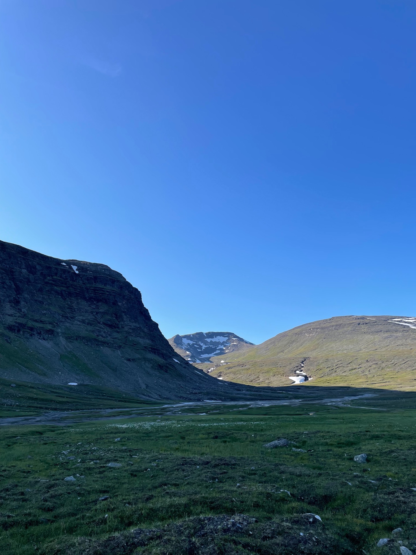
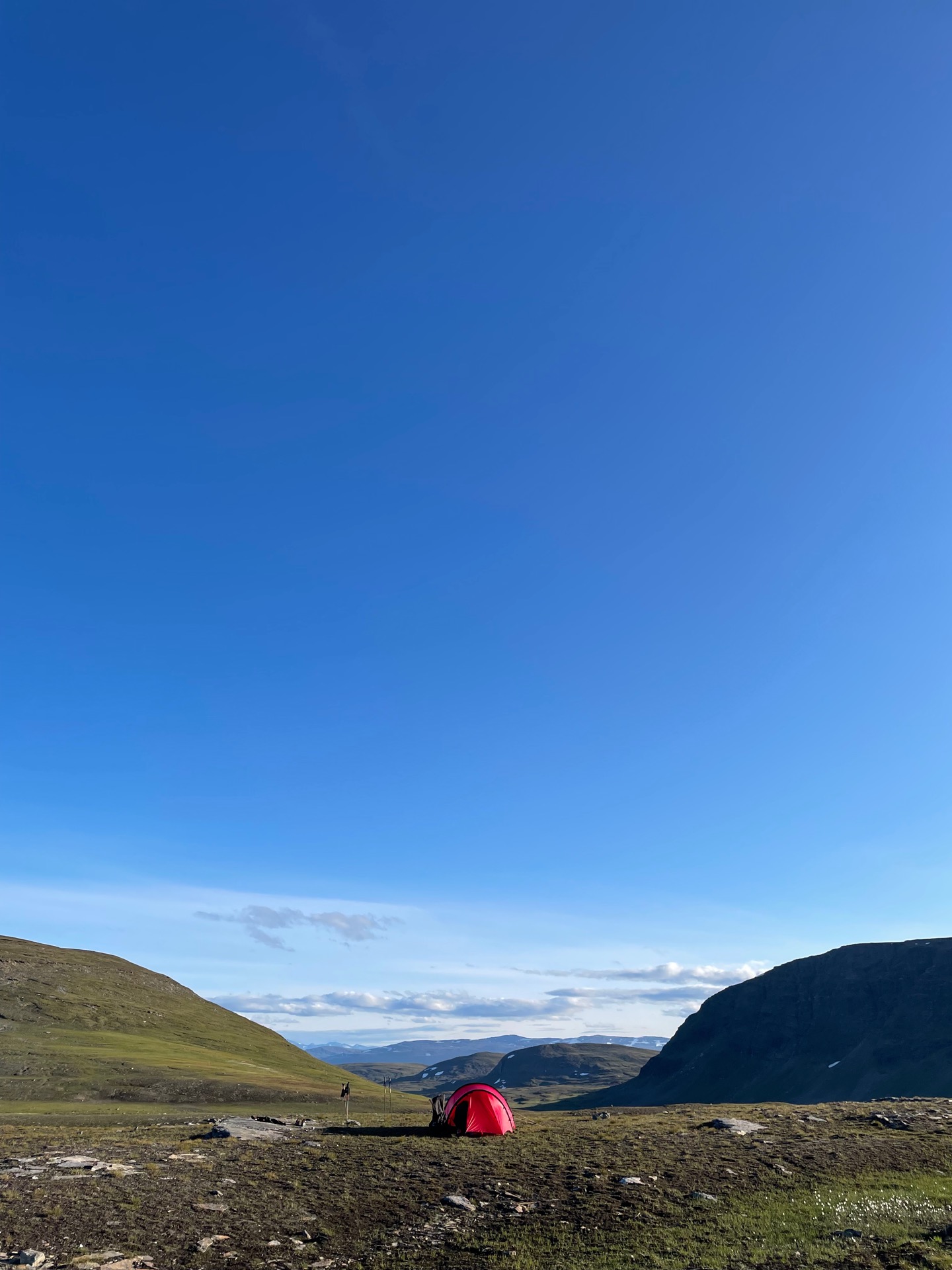
Breakfast outside with a view over Torneträsk and Lapporten equals a pretty good way start the day. The next ten kilometers took us through dense birch forest, which Rebecka asked me to describe as “the worst type of fjäll flora”. After seven of those kilometers, we reached the unmanned overnight STF cabin Pålno. After another two, we reached the border, and entered both Norway and the Rohkunborri national park. After a final, very steep kilometer in birch forest, we arrived at our first DNT cabin: Lappjordhytta. It was exciting to finally get to use the DNT cabin key, but we only stopped for a short coffee break, and we had it outside in the sun. This marks our second day of views over Lapporten. I didn’t think it was possible to tire of it, but we’re looking forward to seeing new mountains.
Swedes have a lot of preconceptions about hiking in Norway. Two of them are that Norwegian mountains are more dramatic, and that Norwegian trails are a lot steeper. Both were confirmed immediately after we crossed the border. From the cabin, the trail climbed 400 meters up to the moor, and in the clear weather, we could see the entire lineup of mountain tops across Torneträsk, from Lapporten to Vassecohkka near Riksgränsen. The Norwegian side was no less dramatic. In Riksovaggi, you could easily imagine wooly mammoths walking beneath the glacier covered mountains. It was beautiful, but the elevation gain combined with sunny weather and heavy food bags made for a strenuous first day of hiking in Norway. At least we get to start tomorrow with 13 kilometers downhill.
Just as we entered the Lairevaggi pass where we pitched our tent, we lost sight of Lapporten. It’s all new views from here.
Day 51
Aug 7 (37.2 km)
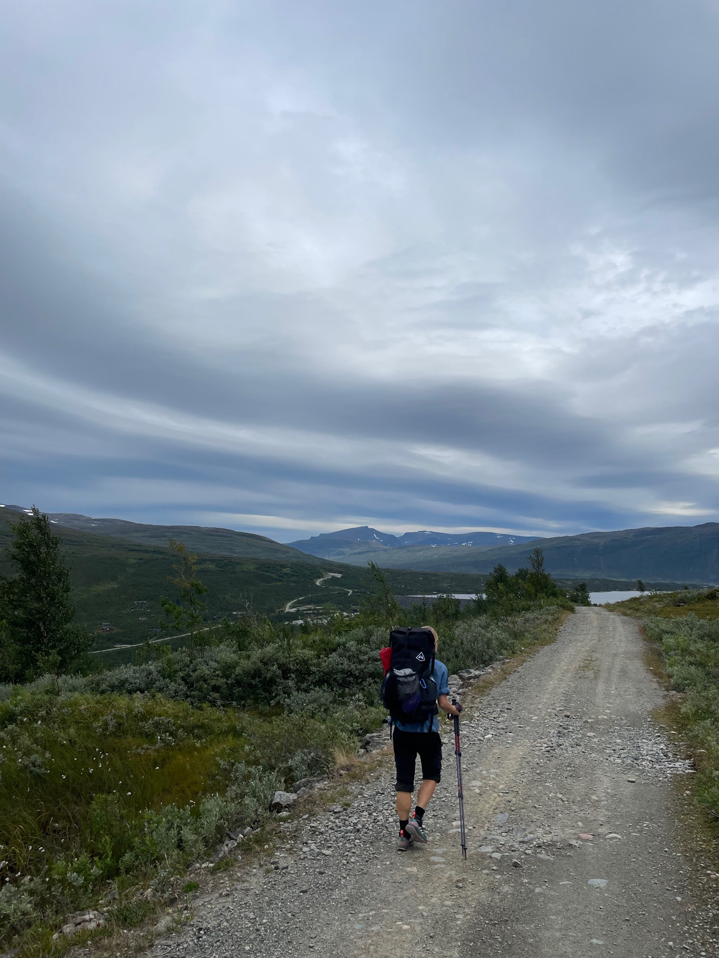
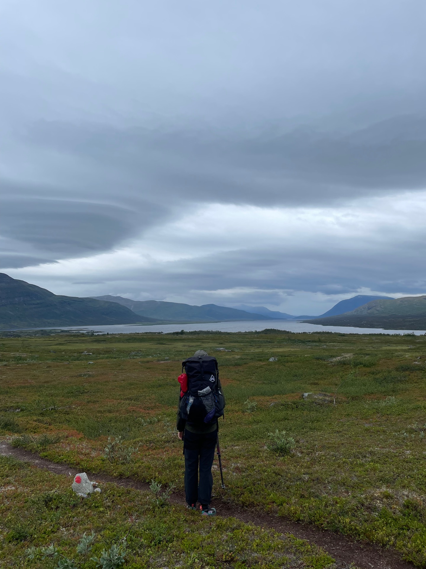
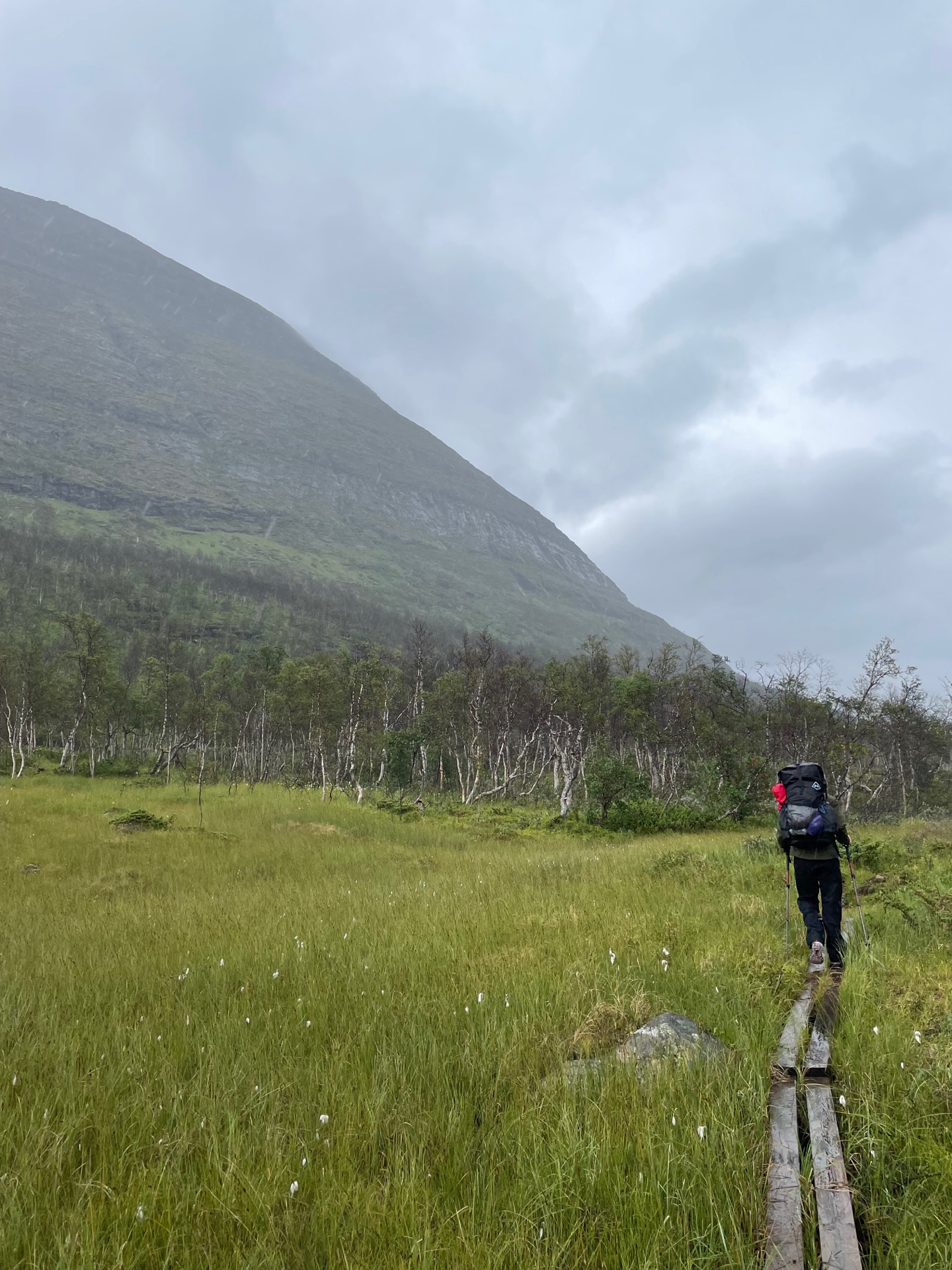
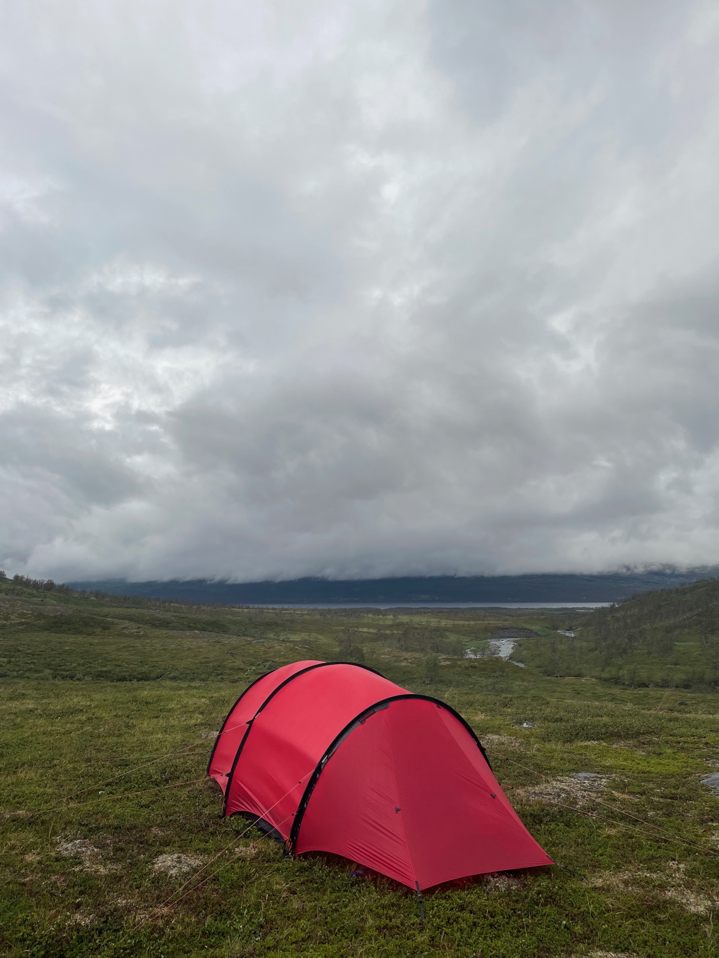
Thanks to all the climbing we did yesterday, we could start today with a 16 km stretch that was almost all downhill. Those kilometers took us from the top of the Lairrevaggi pass down into the beautiful Salvasskardet valley, which we followed down to the western shore of one of Norways largest lakes, Altevatnet, and the DNT overnight cabin Altevasshytta. We had missed that you need a code to get in to this specific cabin, and we were both very keen on using the outhouse, so we paid 200 NOK for our bathroom break. Worth it.
The forecast called for rain today, and as we started to follow the western shore of Altevattnet, the rain came. One moment, I pointed to the lake and told Rebecka that it looked like the Norrlands Guld beer label, with mountains on both sides. Five minutes later, those mountains had disappeared behind the rain, which followed us all the way to the Gaskashytta cabin. There, we talked to a couple hiking the Nordkalottleden trail south. They were going to follow it to Abisko, but decided to make Björkliden their final stop after they heard about the stomach bug going around near Kebnekaise. We’re grateful we didn’t catch it when we were in the area just a few days ago.
We found our tent spot a few kilometers into the Gaskkasvaggi valley. It’s been a long day, but not a very interesting one. That should change tomorrow, when we enter Øvre Dividal national park.
Day 52
Aug 8 (38.7 km)
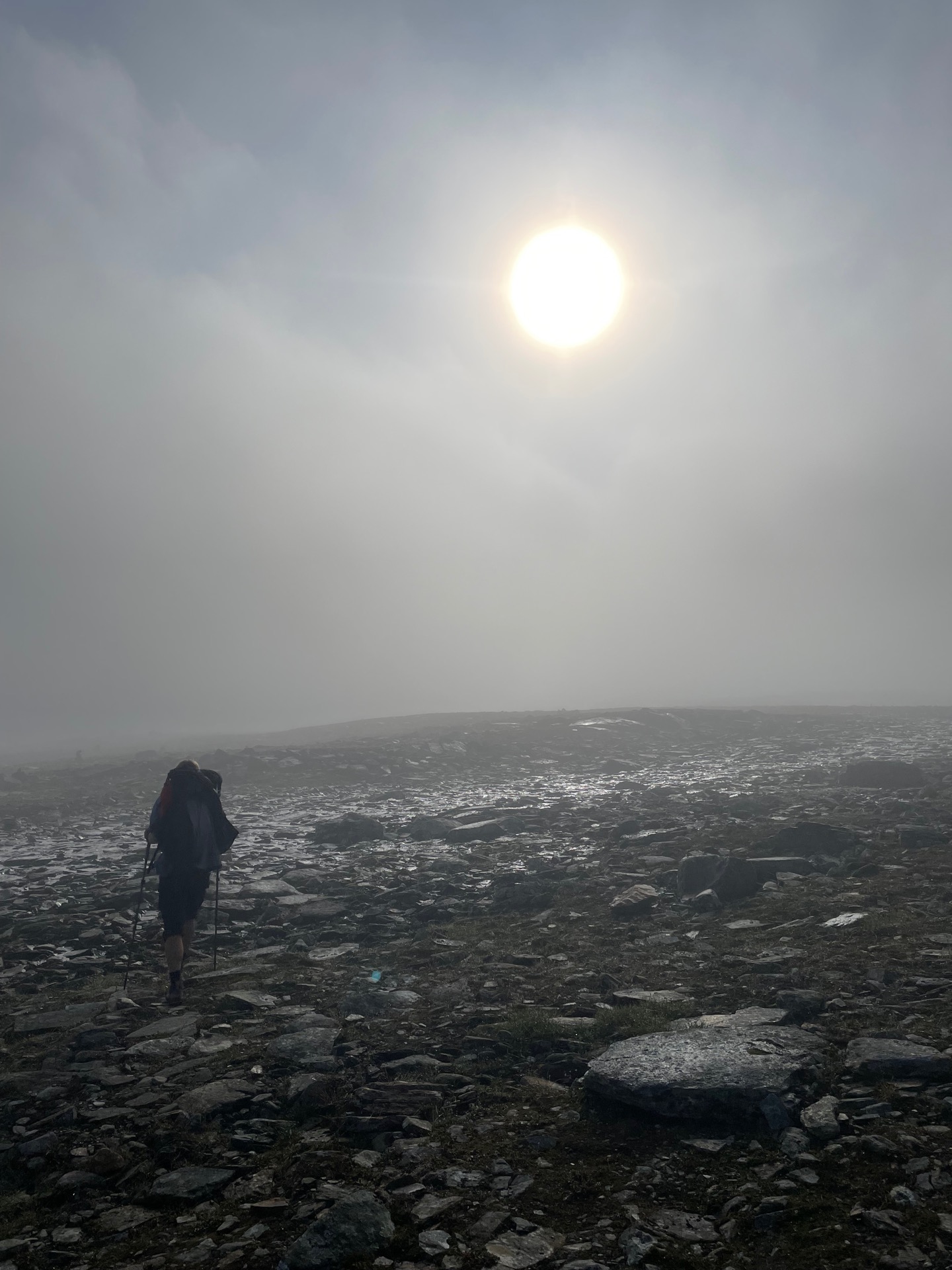
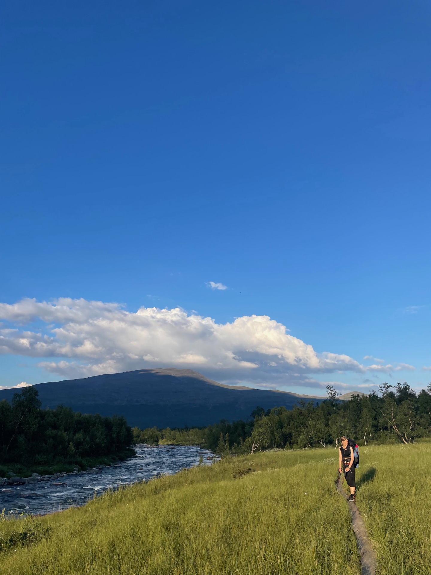
The day started with a climb up to the Jierdni pass. The going was easier than we had expected, with a gentle angle on a clear trail, and both me and Rebecka felt fresh and motivated. On the other side of that pass, we would enter Øvre Dividal national park, which we’ve only heard good things about. Unfortunately, early in the climb, our old friend pea soup showed up. The map told us of impressive peaks on both sides of the trail, but we only caught fleeting glimpses of them on our way to the Vuomahytta cabin, where we stopped for lunch. We’ve heard a lot of praise for the DNT cabins, and this is the first one we’ve been to that has lived up to that reputation. We even got a look at the view, since the fog cleared just as we were about to leave.
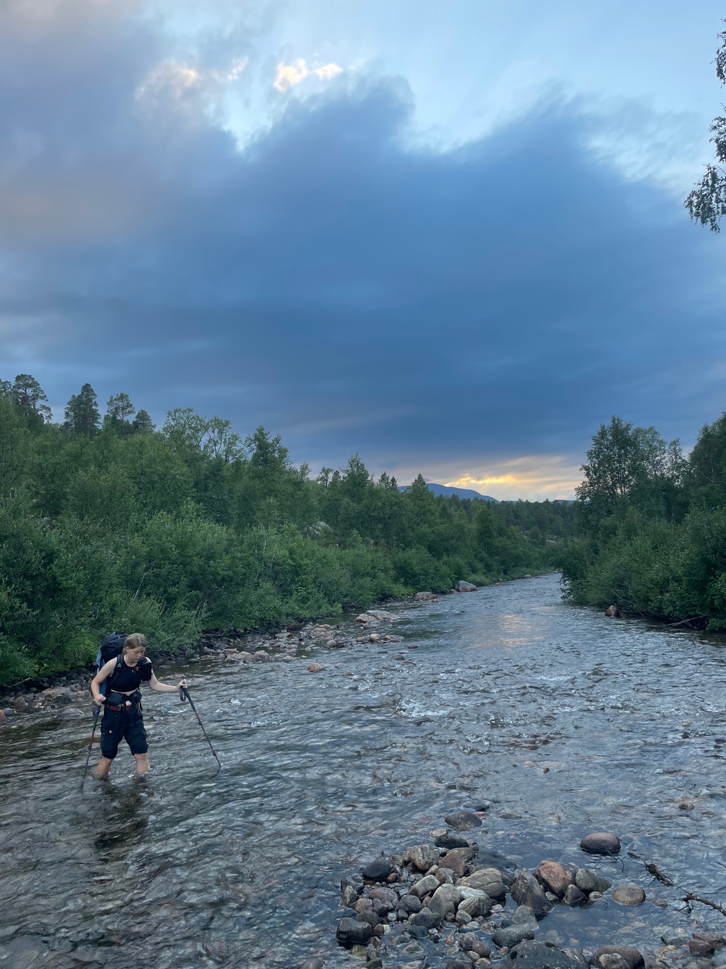
We spent the afternoon going downhill in the birch forests of the Anjavassvaggi valley. On our left, we had the river Anjevasselva. On our right, the mountain Blåfjellet, which we appreciated for two reasons: One, because it is magnificent. Two, because it blocked the sun, which we did better without in the 23 degree temperature. We had our sights set on a tent spot just before Anjevasselva joins Divielva in the heart of the national park. When we got there, we realized that the former is burrowed into a deep canyon which made it difficult to get water. We decided to continue towards the recommended fording place over Divielva, but we couldn’t find a tent spot in the steep terrain. We ended up fording the river at half past eight. At least it was an easy ford.
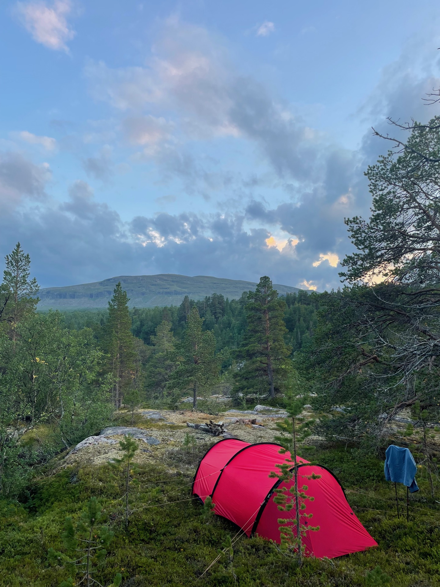
Our tent spot was waiting for us a little bit uphill from Divielva, squeezed in among a stand of pine trees. It almost felt like camping back home, with one big difference: Divielva is a lot colder to wash yourself in than the lakes around Stockholm.
Day 53
Aug 9 (39.8 km)
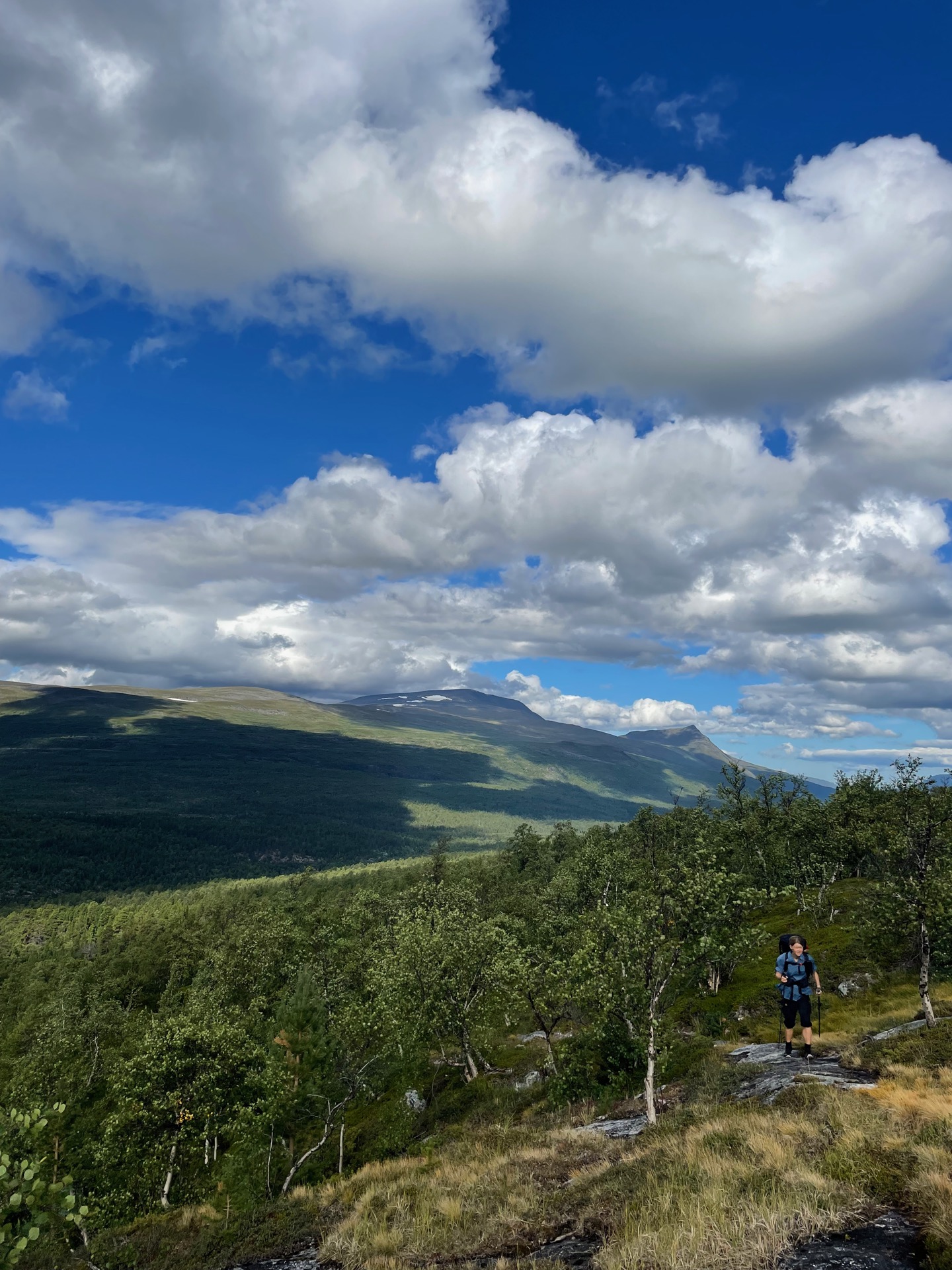
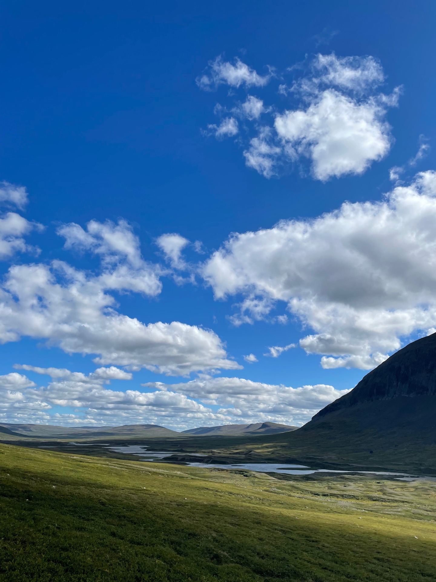
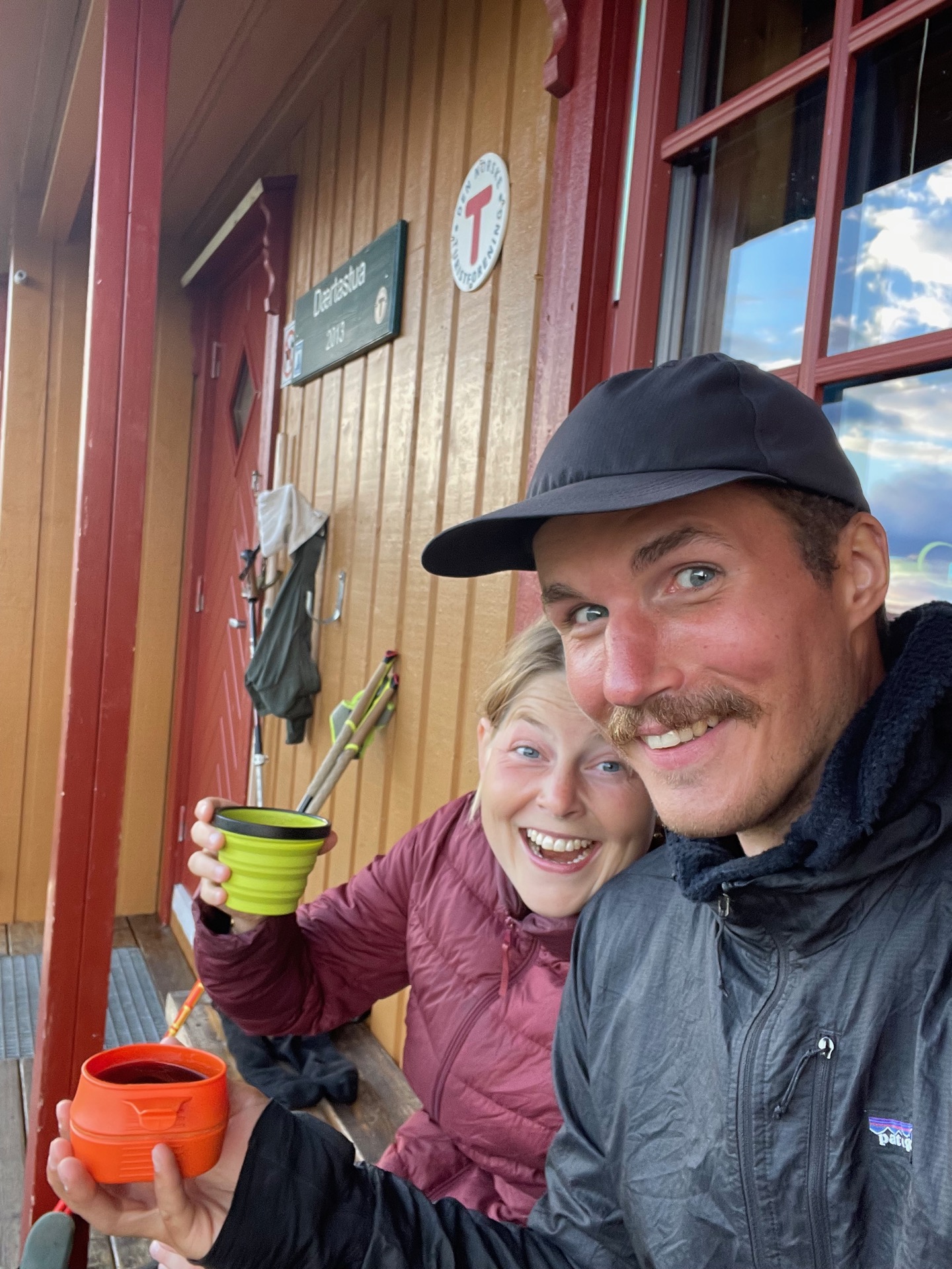
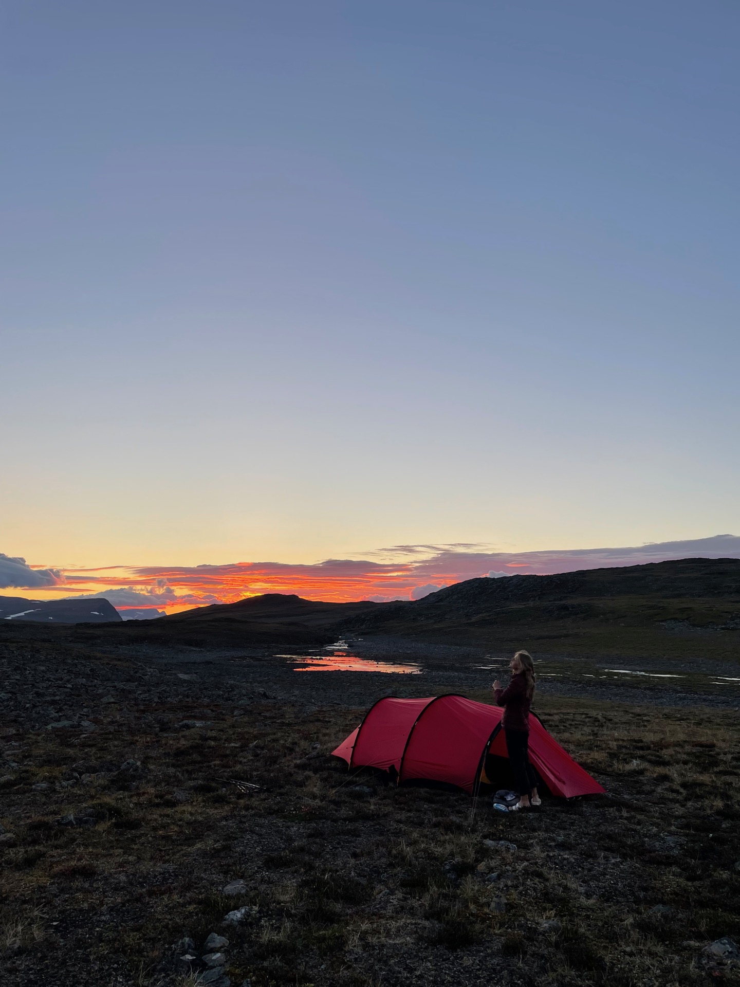
From our camp spot by the Divielva river, we had a 500 meter climb up to the moor in the morning. The first 100 meters took us through the most beautiful pine forest either me or Rebecka has ever seen, which is not something I expected on the final stretch of my Green Ribbon. The next 100 meters took us to the Dividalshytta DNT cabin, where we stopped and chatted with some of the guests heading south. The final, steep 300 meter climb took us all the way up. Maybe it was the chat break at the cabin, or the lighter food pods, but the climb wasn’t as bad as we feared.
When we neared the pass Jierttasalbmi, I told Rebecka “I think we’ll get some decent views from up here”. It was the understatement of the hike. From our perch, we had panoramic, 35 kilometer views over a landscape of green moor, rivers, small lakes and black mountains that seemed to go on forever. It was unreal. Apologies to Skäckerfjällen, Vindelfjällen, Padjelanta and Abisko, but Øvre Dividal national park has the most beautiful nature I’ve seen on my Green Ribbon.
On the way to the Daertahytta cabin, we met @thehikingswedes – a family of four who are hiking the Green Ribbon together. We shared fantasies about hamburgers and showers before we continued to the cabin. Me and Rebecka decided to only stop for a short break, and then continued for another few kilometers. They took us out of the national park and up to the highest point of this section of the Nordkalottleden trail: a rocky moon landscape at 1033 meters of elevation. Phone reception courtesy of Finnish cell towers told us that we’re getting close to the goal line.
As we descended on the other side to find our camp spot, the sun started to set, turning the horizon orange and the clouds pink. As summarized by Rebecka, the entire day was “like being punched in the face by nature”. In the best way.
Day 54
Aug 10 (33.3 km)
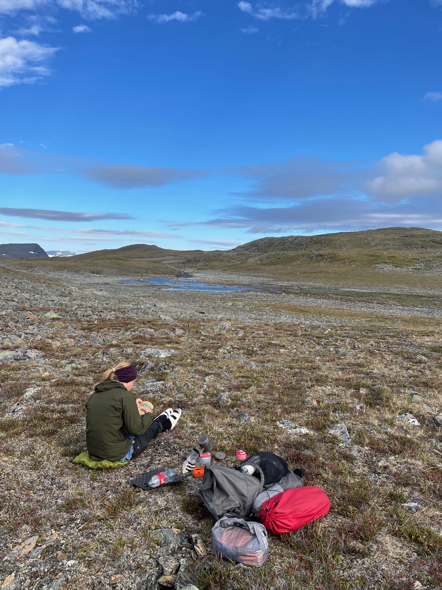
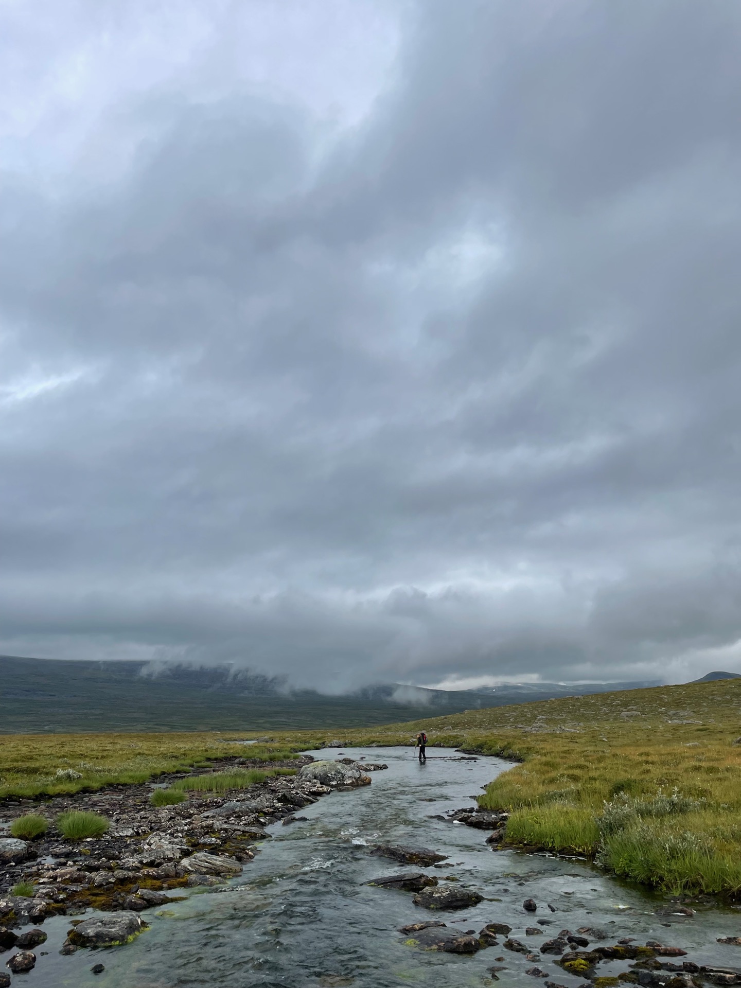
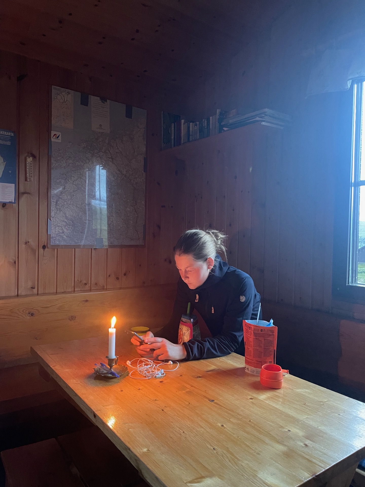
During our brief window of phone reception the previous night, the forecast told us to expect rain in the afternoon, and lots of it. Because of that, we were especially grateful that we could have our breakfast outside. We made good time to the Rostahytta cabin, but not quite good enough to outrun the rain. We had lunch indoors as we watched it grow in intensity through the window. Rostahytta was the last Norwegian cabin on our hike, and as if to mark the occasion, a family staying in the cabin offered us some of their frying pan cinnamon rolls.
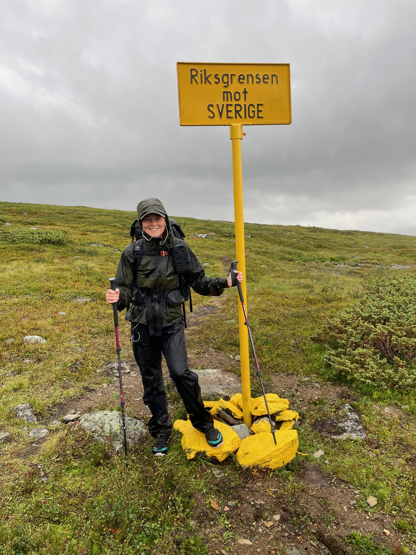
When we left, our rain gear preparedness was at “underwear and rain pants only” levels. It wasn’t so bad at first. For the first 6 km, we were mostly spared the rain but were instead surrounded by thick fog. Then, suddenly, we walked out of the fog into clear weather and a strangely warm wind. When we looked back, the fog looked like a wall. Soon later, the rain came in earnest. You walk quickly on moor in the pouring rain, and before we knew it, we reached a little sign telling us that we were back in Sweden. Another sign said that we had 5 km left to the STF Pältsa cabin, which was a lie. Nothing takes longer than hiking seven kilometers when you were expecting five.
When we finally did arrive at the Pältsa cabin, we were wet from hours of rain and tired after 20 kilometers of nonstop hiking from Rostahytta. The thought of spending the night indoors helped to keep us motivated. Pältsa is the northernmost STF cabin in Sweden, and it’s a lot easier to access from both Norway and Finland. It was odd to be in a STF cabin where everyone spoke Finnish to each other.
From here, it’s only another 13 kilometers to Treriksröset and the end of this very, very long hike. It’s almost done. The reality of it hit home when we sat down to figure out how to make it back to Stockholm from this remote corner of our very large country. That’ll be an adventure in itself.
Day 55
Aug 11 (17.4 km)
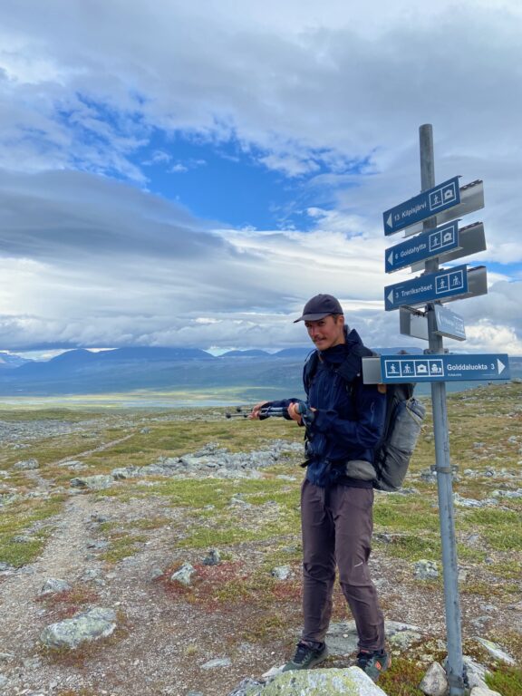
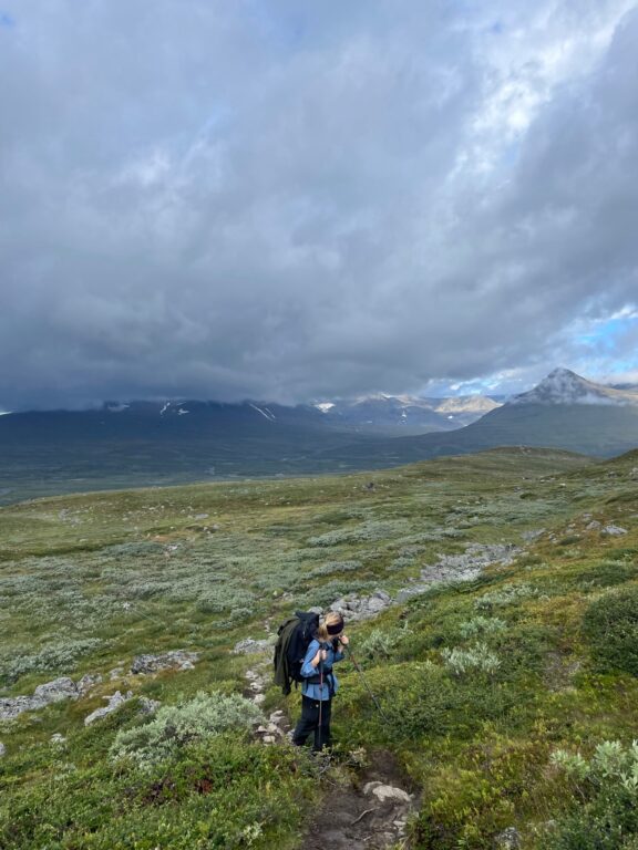

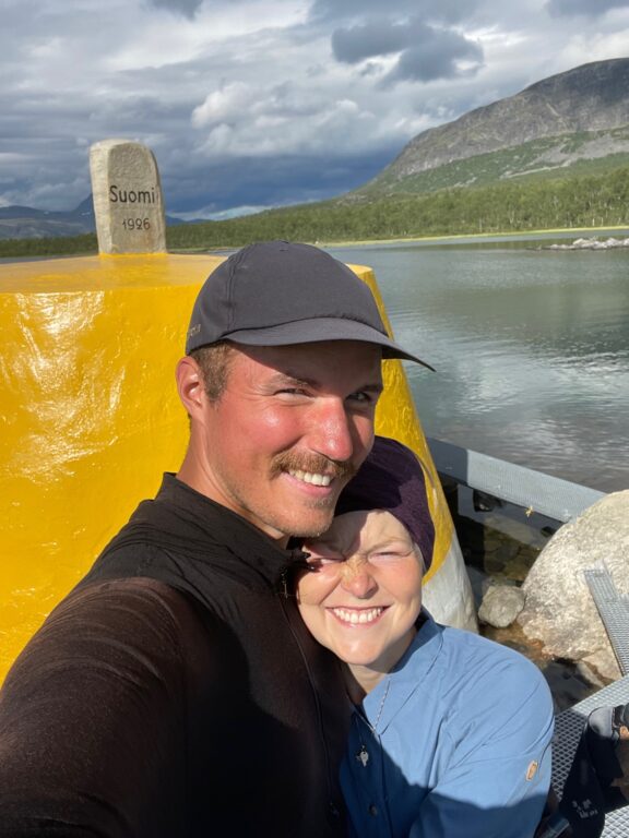
I did it! After 1 674 kilometers, 1.9 million steps and one somewhat respectable mustache, I put my hand on Treriksröset and completed the Green Ribbon that I started in Grövelsjön close to two months ago. It’s been a strange, wonderful and absolutely unforgettable way to spend a summer. I’ve seen more of Sweden than I ever thought I would, and along the way, I’ve met a ton of interesting people. Thanks to all of you for making a solo hike feel less lonesome. I’m grateful that I was able to give this odd undertaking a shot, and so happy that my body allowed me to go all the way.
I’m also grateful for Rebecka, who not only tolerated me spending most of this summer on the trail, but came with me to the ends of the earth to be there when I completed it. She even carried a secret champagne bottle in her backpack, up and down Norwegian mountains, for six days. If that’s not love, I don’t know what is.
Rebecka told me that I had to do one of my overly detailed step by step walkthroughs (my words, not hers) of the final day as well. After the champagne, I wasn’t exactly in a position to argue. Here it goes:
After our night at the Pältsa cabin, we climbed the Duoibal mountains to the north and had eight kilometers of easy hiking on tundra before we descended low enough to catch sight of the yellow concrete border cairn in the lake Golddajavri. Just before we reached it, we crossed the border to Finland. When we’d done our photo shoot and had champagne, we followed the trail towards the town Kilpisjärvi through Mallan national park. It was pretty, with a steep climb to the tundra rewarded by Finlands highest waterfall and views over lake Kilpisjärvi, but we were both too tired to care about anything but a shower and a soft bed at that point. We got both when we arrived at our hostel around five. Tomorrow, we’ll take the bus to Tromsø where we’ll stay another night before we fly home to Stockholm.
Thank you for following along on my summer adventure in the Swedish mountains! Check out Vita Gröna Bandet if you want to learn more about the Green Ribbon, or maybe give it a go yourself. It’ll be a summer you won’t forget.