This is the diary from my 2023 Green Ribbon hike through the Swedish mountain chain. For an introduction to the hike, see part 1.
Day 19
July 6 (34.8 km)
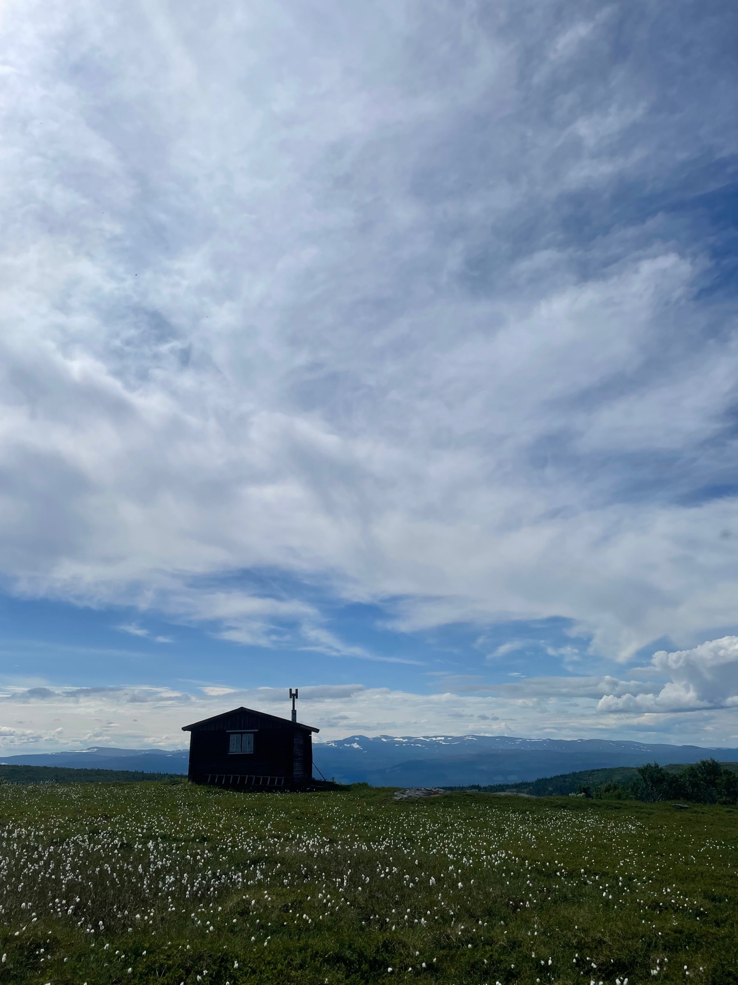
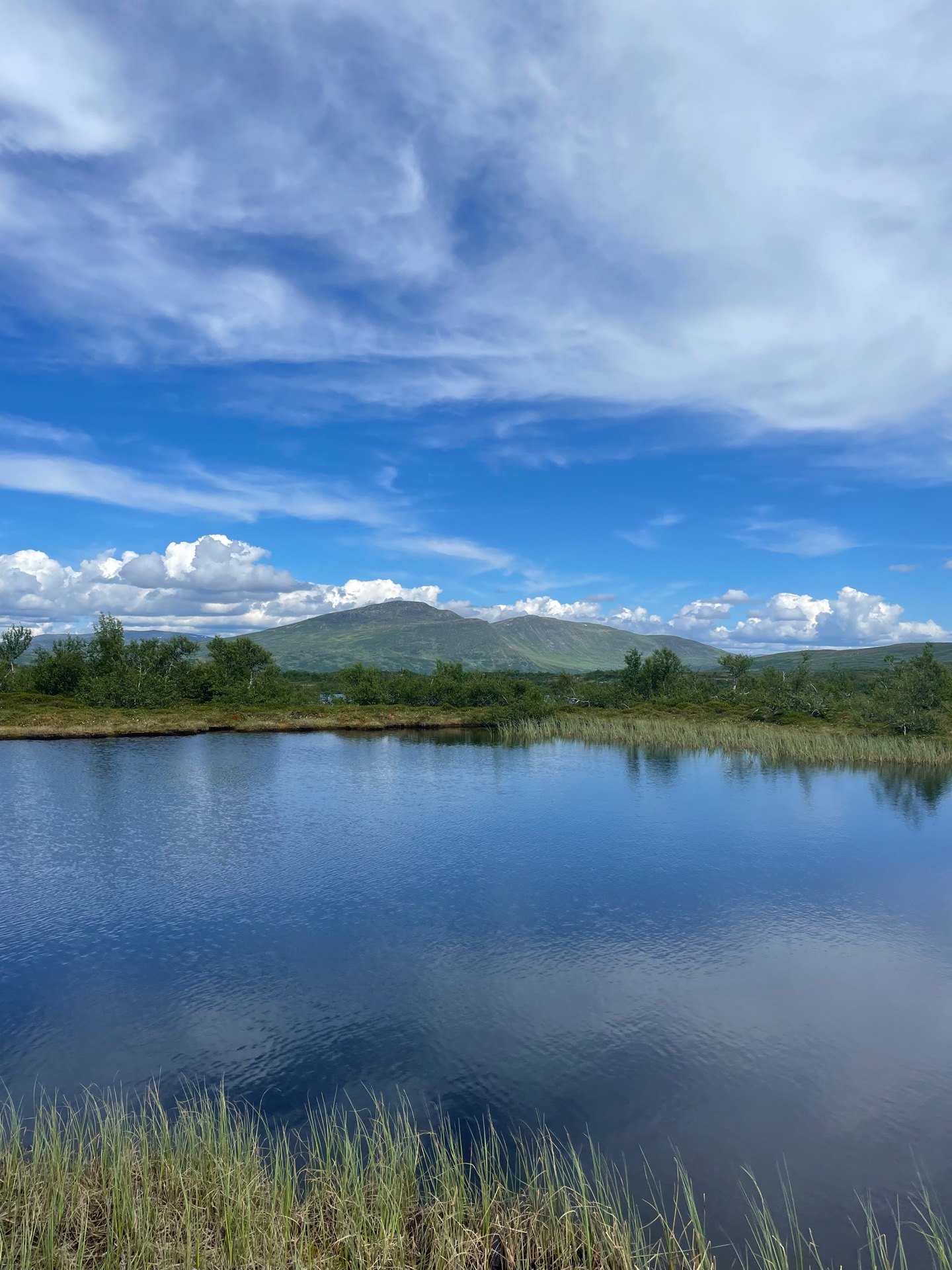
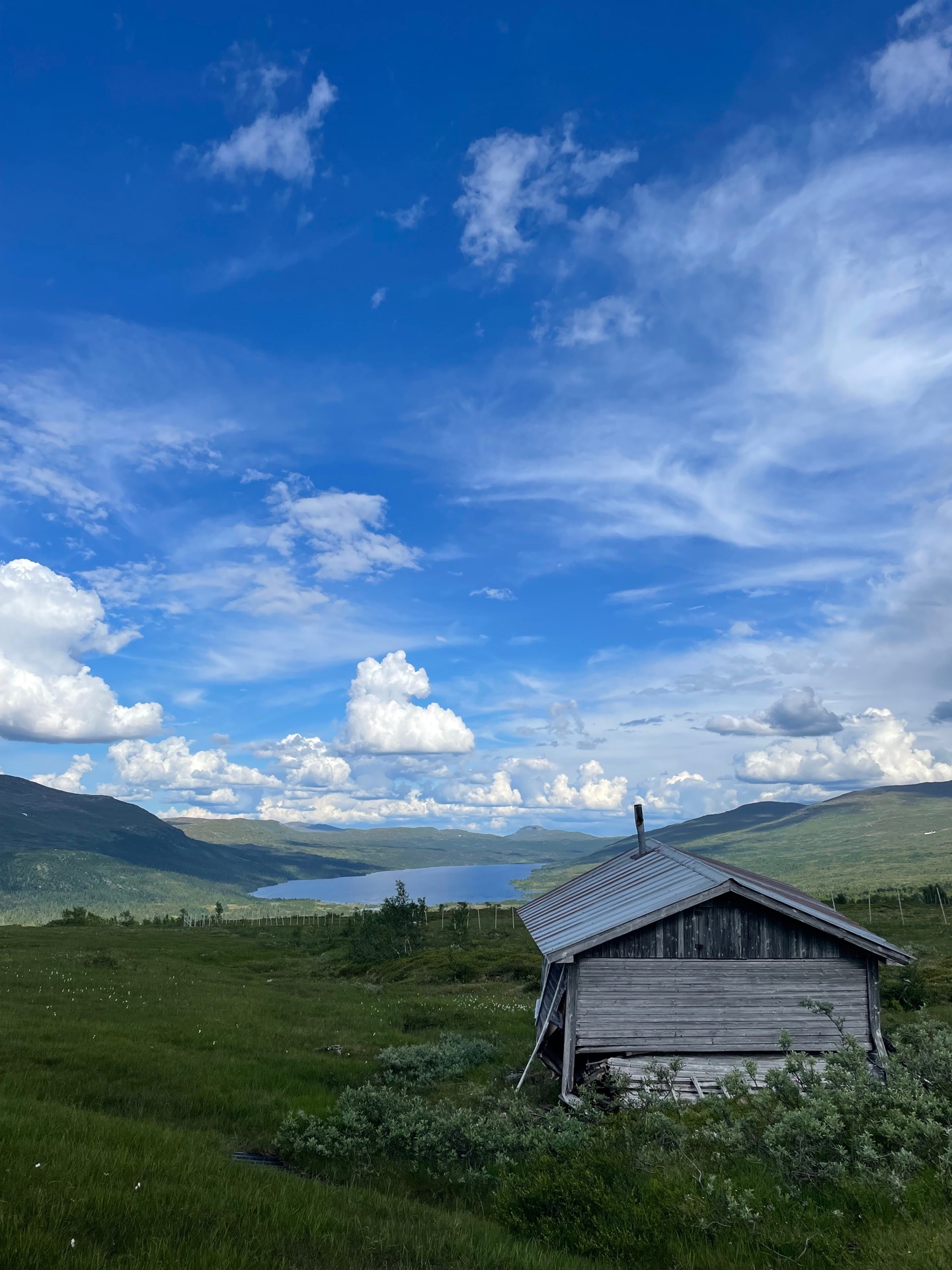
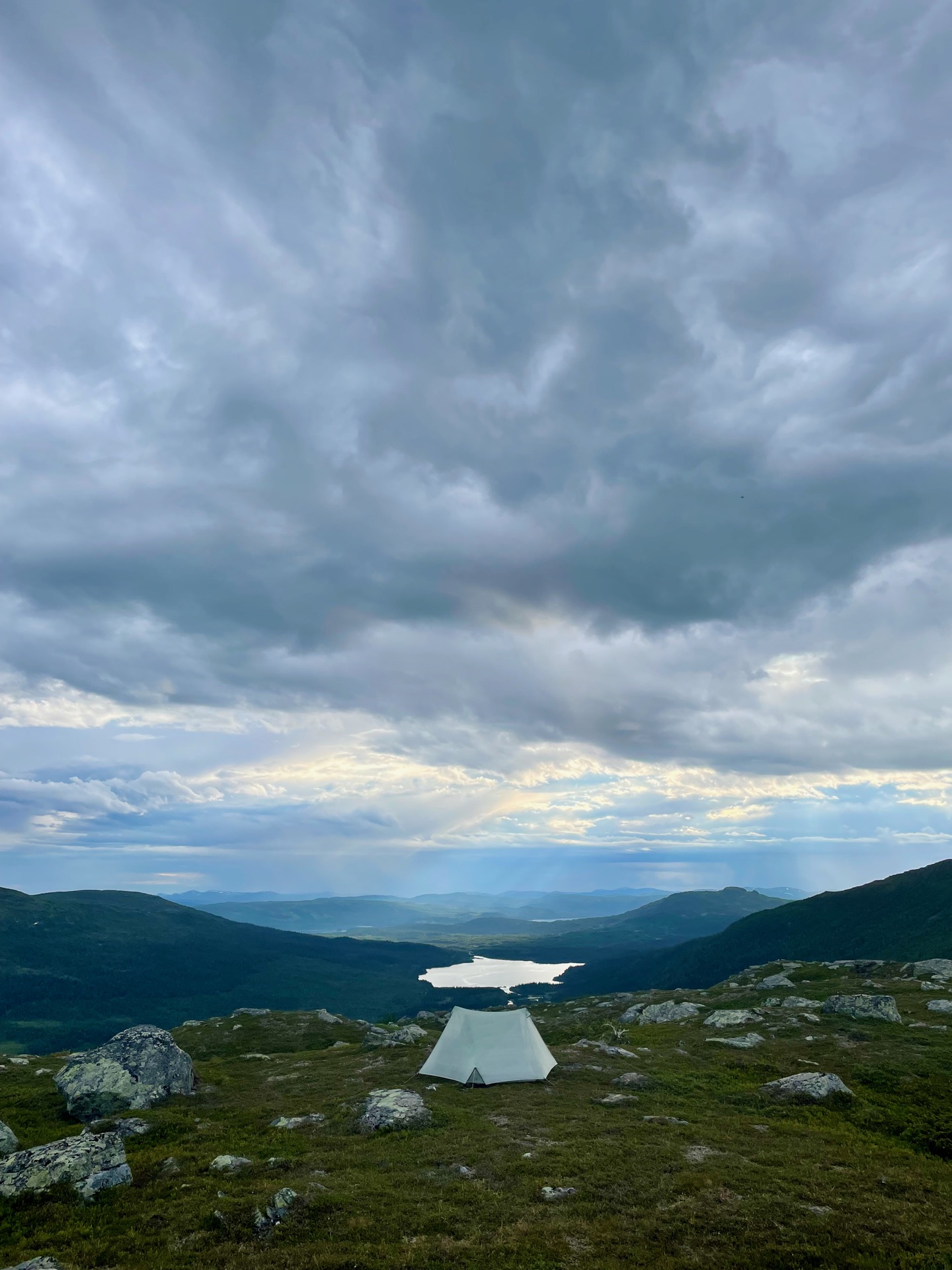
Around nine, I left Gäddede to start the third section of my hike: the 242 kilometers from Gäddede to Hemavan. It was 20 degrees out and barely a cloud in the sky. By the time I had done the 450 meters of elevation to Lillfjällets break cabin, cheered on by a squadron of horse-flies, I was completely drenched in sweat. I had a bag of leftover pick and mix candy from the previous evening, so there I was, sitting topless in a derelict mountain cabin eating Kinder Minis and drinking water with electrolyte tablets. This is a strange way to spend a summer.
The next 20 km to the old farmstead Väktarmon were probably my lowest point so far. Said squadron of horse-flies only grew in numbers as I continued, and they were relentless. I forced myself to stop for lunch at Holmsjön. At one point, I counted six large female horse-flies on my left shoe, with dozens more swarming around me. I had my lunch while walking around to get away. By the time I descended to Väktarmon, I had easily 100-200 horse-flies on my conscience and gratefully entered the Väktarmon rest cabin for my first real moment of peace and quiet in six hours. Unfortunately, you’re only allowed to stay the night in emergencies. I doubt horse-flies fall in that category.
I did stay for dinner and a phone call with Rebecka, which was lovely. When I left the cabin, I had decided to find a tent site by the cabin and save the very steep ascent north of Väktarmon for the next day. Then I had an out of body experience, and when I came to, I had already started the climb. These things just happen.
Day 20
July 7 (28.9 km)
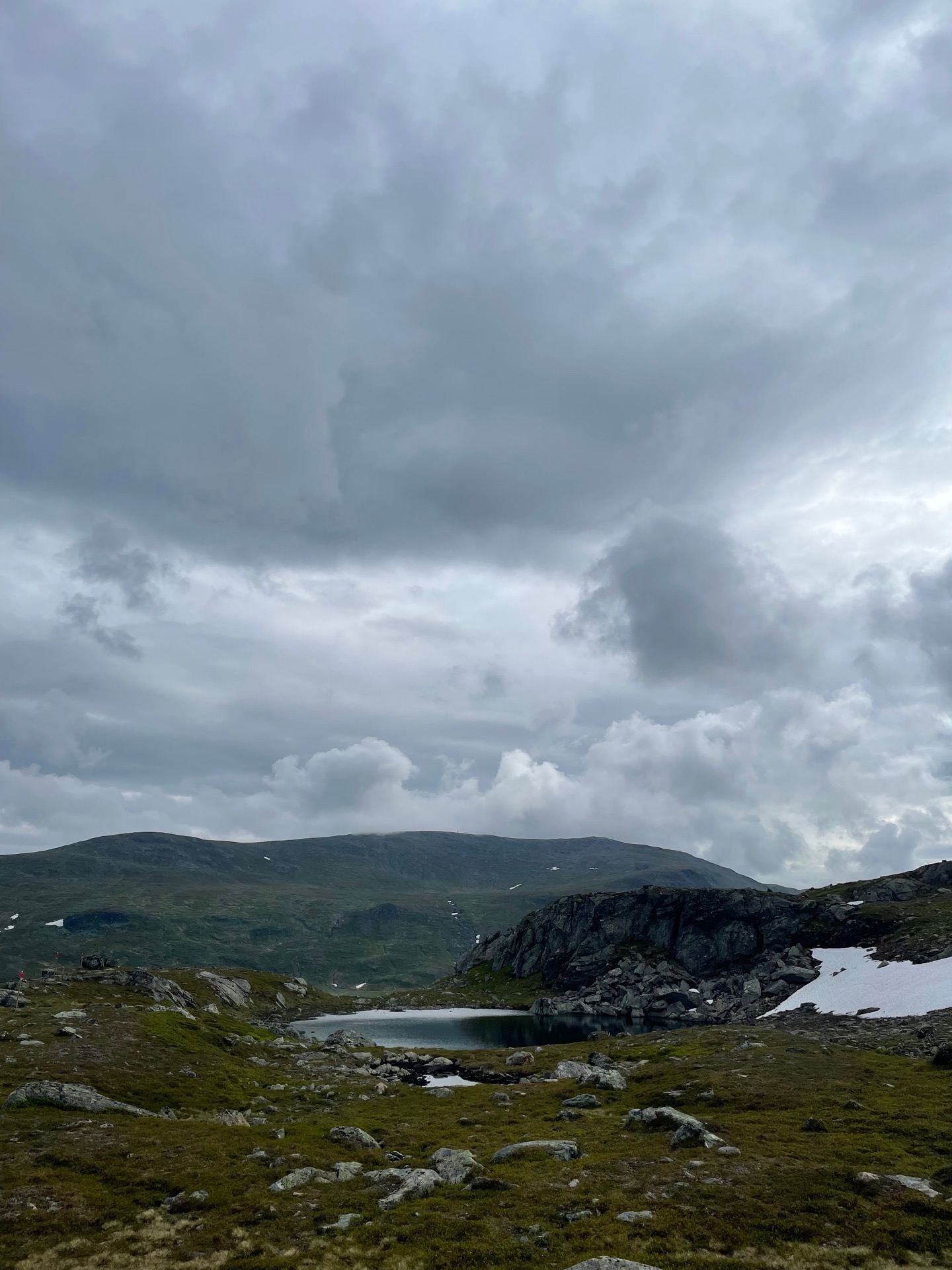
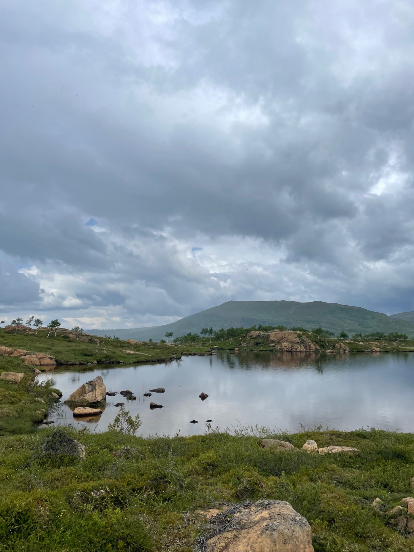
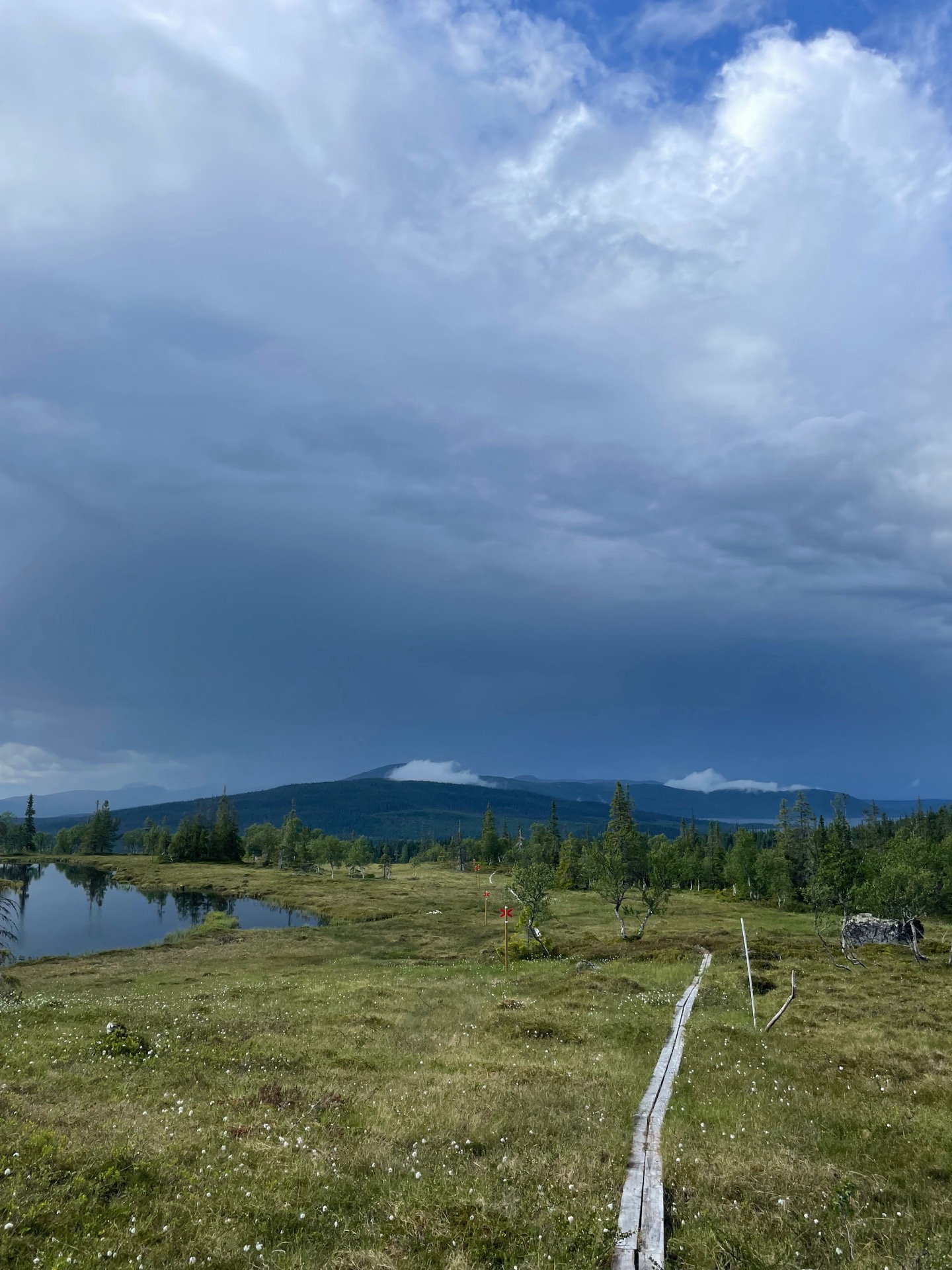
I started my day with the descent into the valley Åarjev Guevtele and the climb back up to the Balkesbuorke break cabin, which was strenuous but treated me to views that encouraged photo breaks. A couple left the cabin just as I arrived. They told me that the previous night, the Sami had herded a large group of reindeer through the pass and past the cabin as the couple watched from inside.
After coffee, hot chocolate, an energy bar and a bierwurst (I’m at the stage where I’ll eat and drink anything, at any time), I continued north to the Sami summer camp Sielken. The rain was waiting for me and chased me to the next break cabin, Rödfjällsstugan, where the color of the mountains shifted from dark gray to copper red. By the time my freeze dried lunch (reindeer stew) was ready, the light drizzle had turned into a downpour. There are few things better than having a warm meal in a break cabin while you watch the rain outside.
Halfway down to the church town Ankarede, I found a Thermacell (battery powered bug repellent) on the trail. I assumed the owner was heading in the same direction as me, so I put it in my pack. Just before the bridge over Lejarälven, I caught up with the owner and reunited them. Nice to be someone else’s trail angel for once. After I had waffles at Ankarede café and was about to leave, one of the women working there asked me if I was doing the Green Ribbon. I said I was. She told me that they treat all Ribboners to waffles and coffee, and insisted I get something else since I’d already paid. When I left, I had a reindeer wrap, a cinnamon bun and a juice box with me. Sometimes, ”what goes around comes around” works its magic quickly.
Day 21
July 8 (33.8 km)
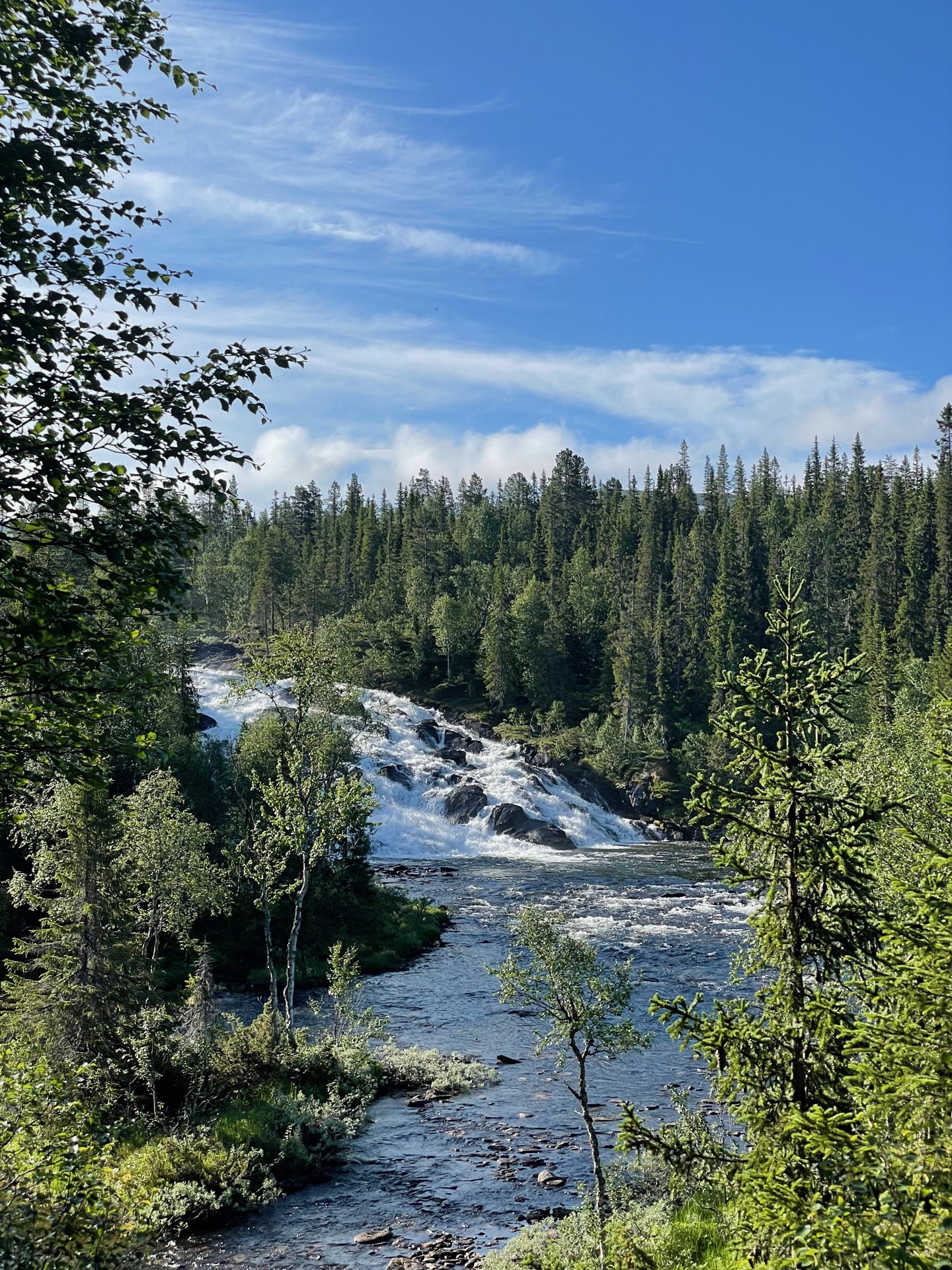
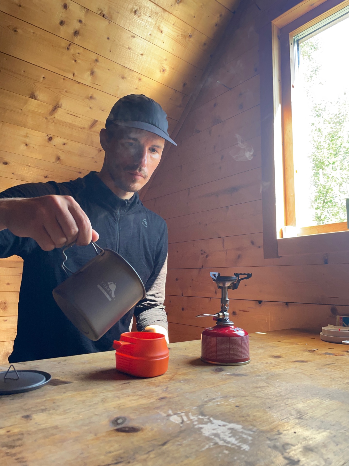
I woke up around seven by the sun rising over the Lejarfallet water fall, which looked just as romantic as it sounds. Not a bad way to start the day. The weather was beautiful from morning to evening, and although I was worried about what that would mean for my horse-fly entourage, I made it through pretty forests to the Tjärnbäcken break cabin without a fly in sight. (I’m quickly getting spoiled by all these break cabins.)
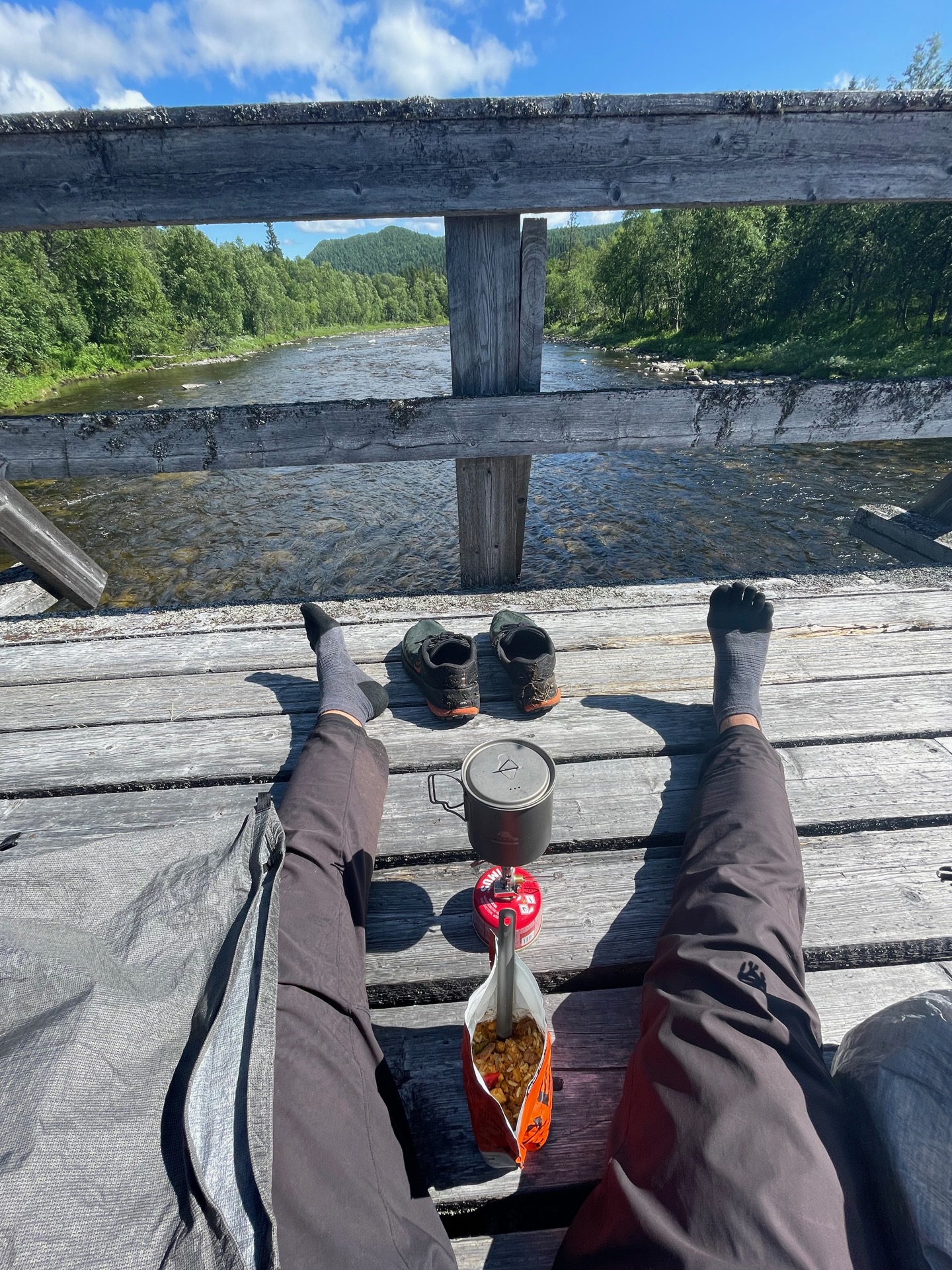
But the horse-flies are a clever bunch, and were only waiting for me to fatten up with bars and hot chocolate before they pounced. When I got to the bridge by the lake Raptejaevrie, where I’d planned to have lunch, I took one look at the ten plus flies on my one leg and decided to move on. I had my next chance at the bridge over Sannarån, by Raukaselet, where the bridge was long enough and the wind strong enough to keep them at bay. After a 13 km march without breaks, I gratefully had my lunch sitting down in the middle of the bridge.
One of the little devils had managed to get me on the shin (smalben), right on the bone, and it swelled up and hurt quite a bit as I walked. After a very long lunch, I continued in a slow motion pace to Raukasjön and then up above the tree line, five kilometers away from the Slipsikstugan cabin. Horse-flies have officially overtaken mosquitoes as my most despised fjäll bug. I never thought I’d see the day.
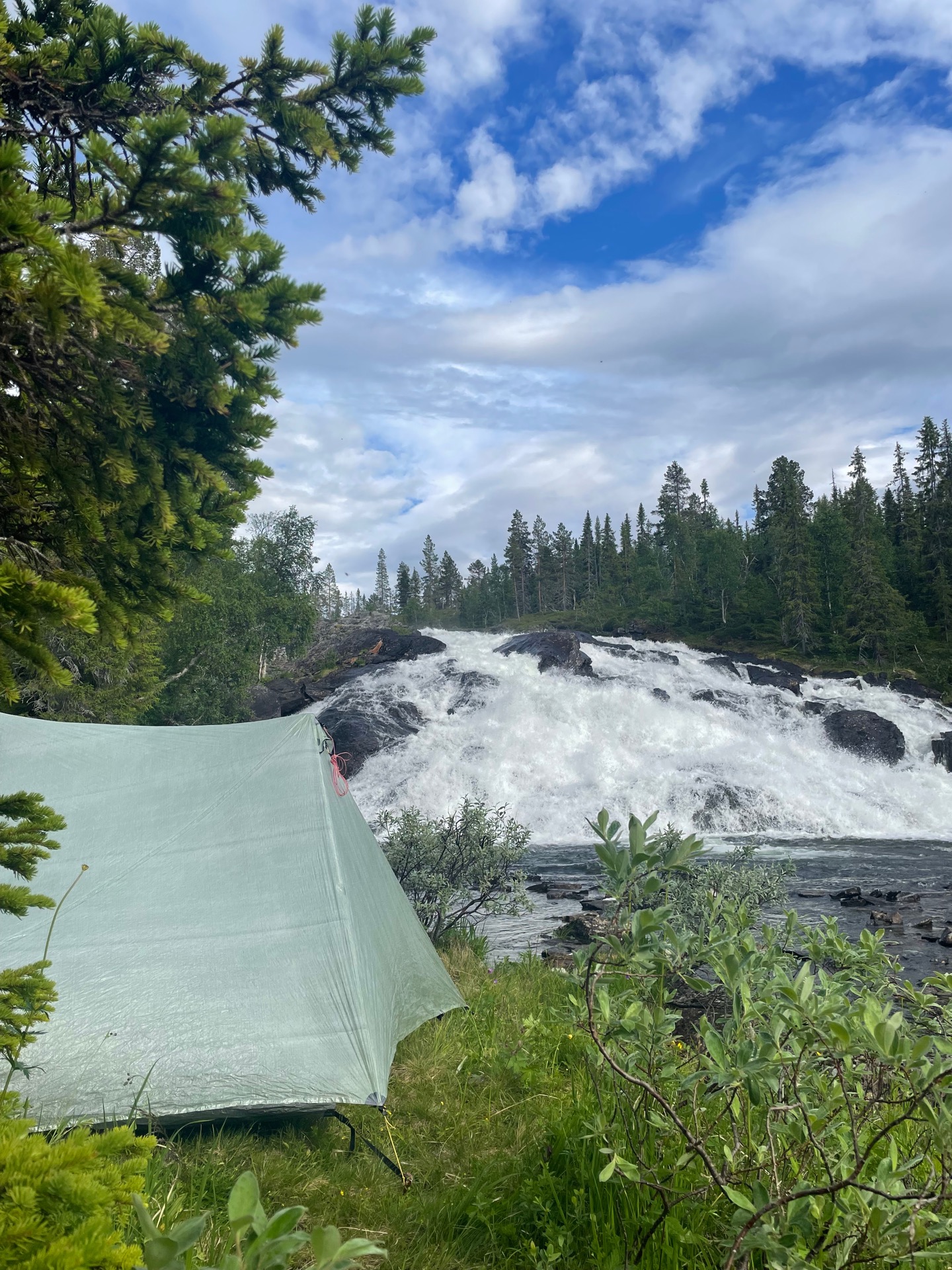
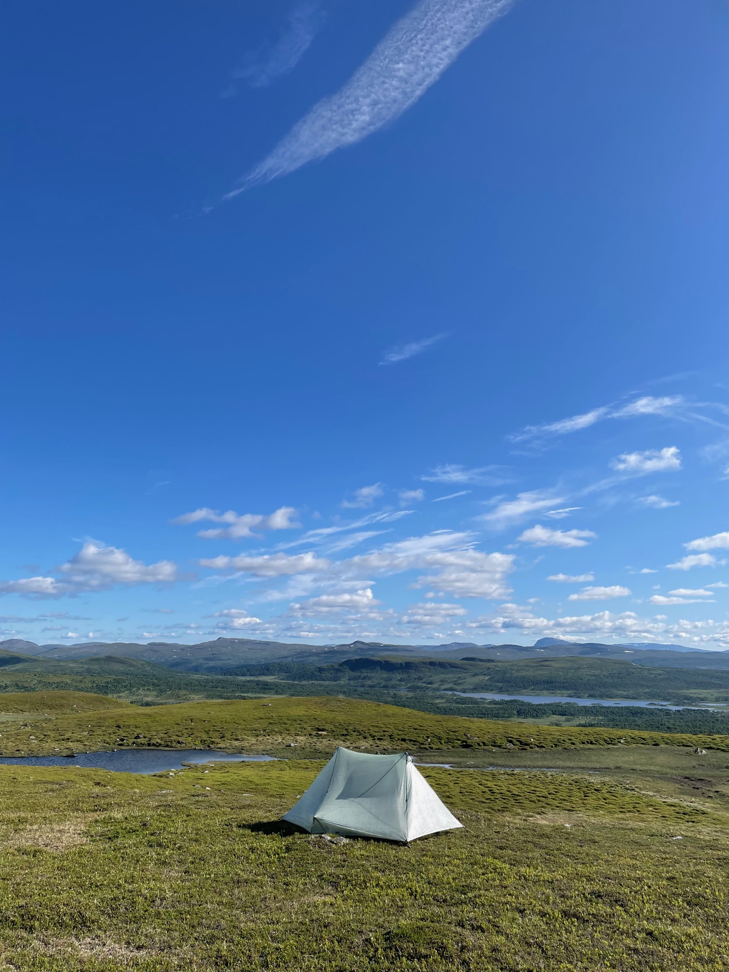
So I don’t end the day’s entry on a downer: I’m really happy with my tent. I’ve slowly pushed myself to be less careful when picking tent sites, and my 768 gram Tarptent Stratospire Li has kept me both safe and comfortable during these three weeks (!) in the mountains.
Day 22
July 9 (21.8 km)

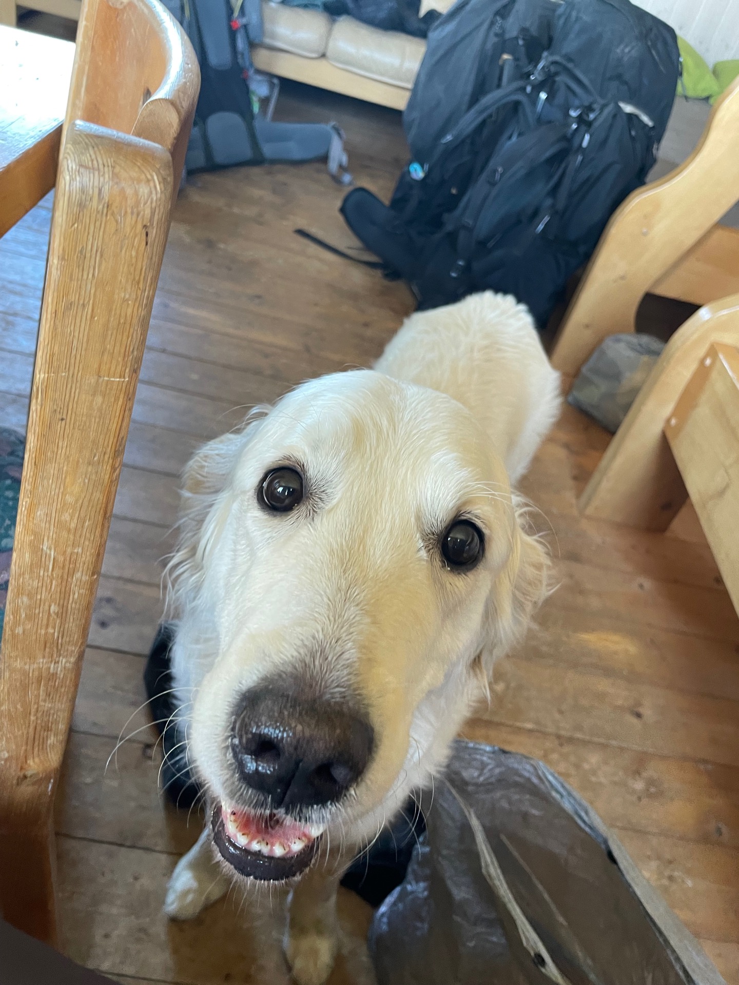
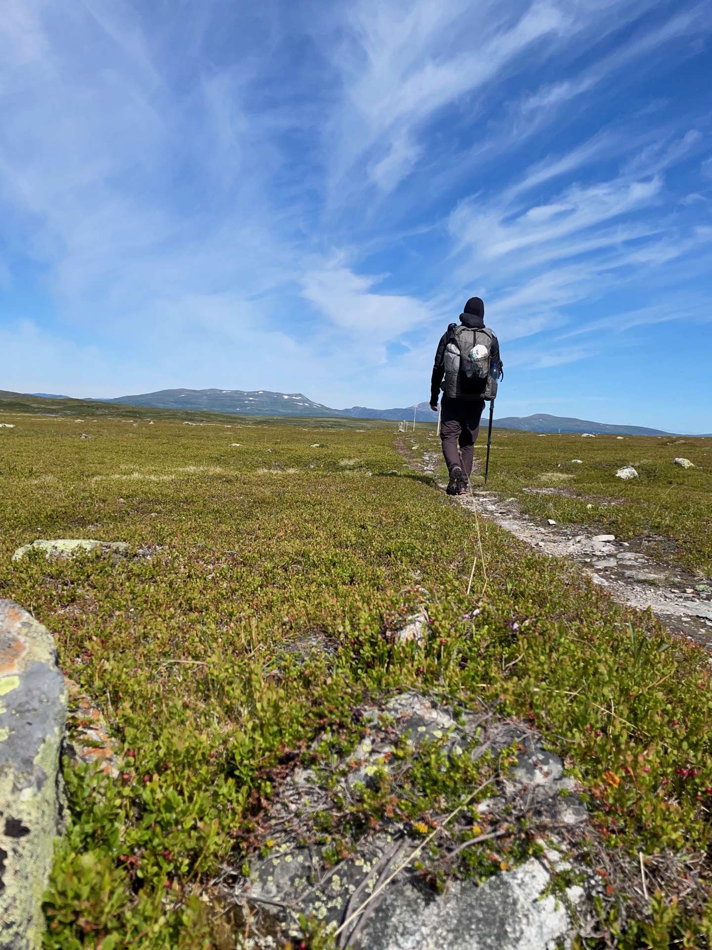
From Dalarna, to Härjedalen, to Jämtland, and now – Lappland! I entered Sweden’s northernmost province just south of the Slipsikstugan cabin, and I’ll remain in Lappland until me and Rebecka head into Norway north of Abisko, more than three weeks from now. At the cabin, I met three guys from Lycksele who were out on a three day hike in Norra Borgafjällen with the Golden Retriever Leja. Always grateful for a chance to hang out with a dog on the trail.
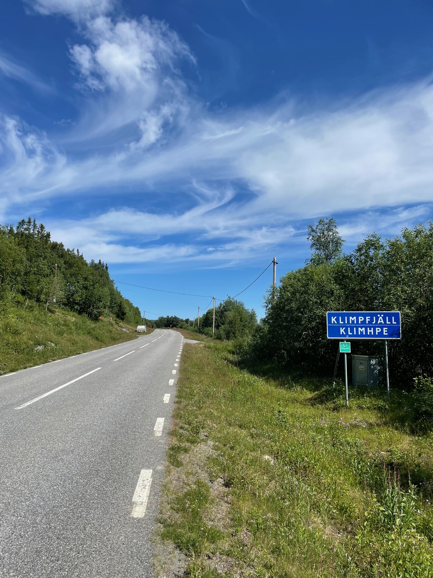
Here, my route connects with the trail Lapplandsleden, which stretches from Borgafjäll in the south to Hemavan in the north. I’ve heard mixed things, so I’m very curious to see what I make of it. I would only see eight kilometers of it today, though: the eight kilometers to the road leading to Klimpfjäll. After a quick visit to the store for some essentials (candy, beer, soda, an ice cream), I continued to Hotell Klimpfjäll. After three weeks on the trail, having my own room with my own shower feels like the very height of luxury.
The extravagances didn’t stop there. I had sent my supply box to Klimpfjäll Fjällgård, but they didn’t have any rooms available. My compromise was to book dinner in their Italian restaurant instead. Unfortunately, neither the pasta nor the dessert was much to write home about, and that’s coming from someone who currently eats most of his food out of ziplock bags. I could tell from the amount of food being sent back to the kitchen that I wasn’t the only one with misgivings. Thankfully, I had a very large bag of pick and mix candy waiting for me when I got back to the hotel.
Day 23
July 10 (24.8 km)
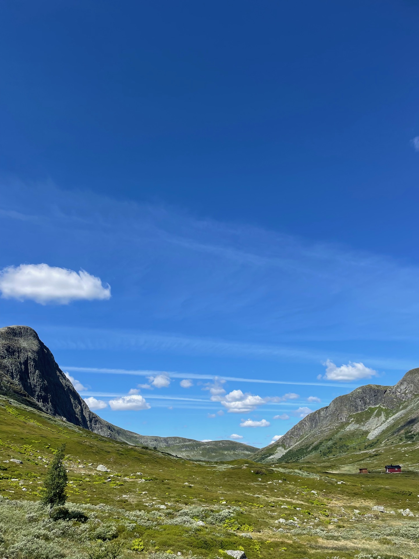
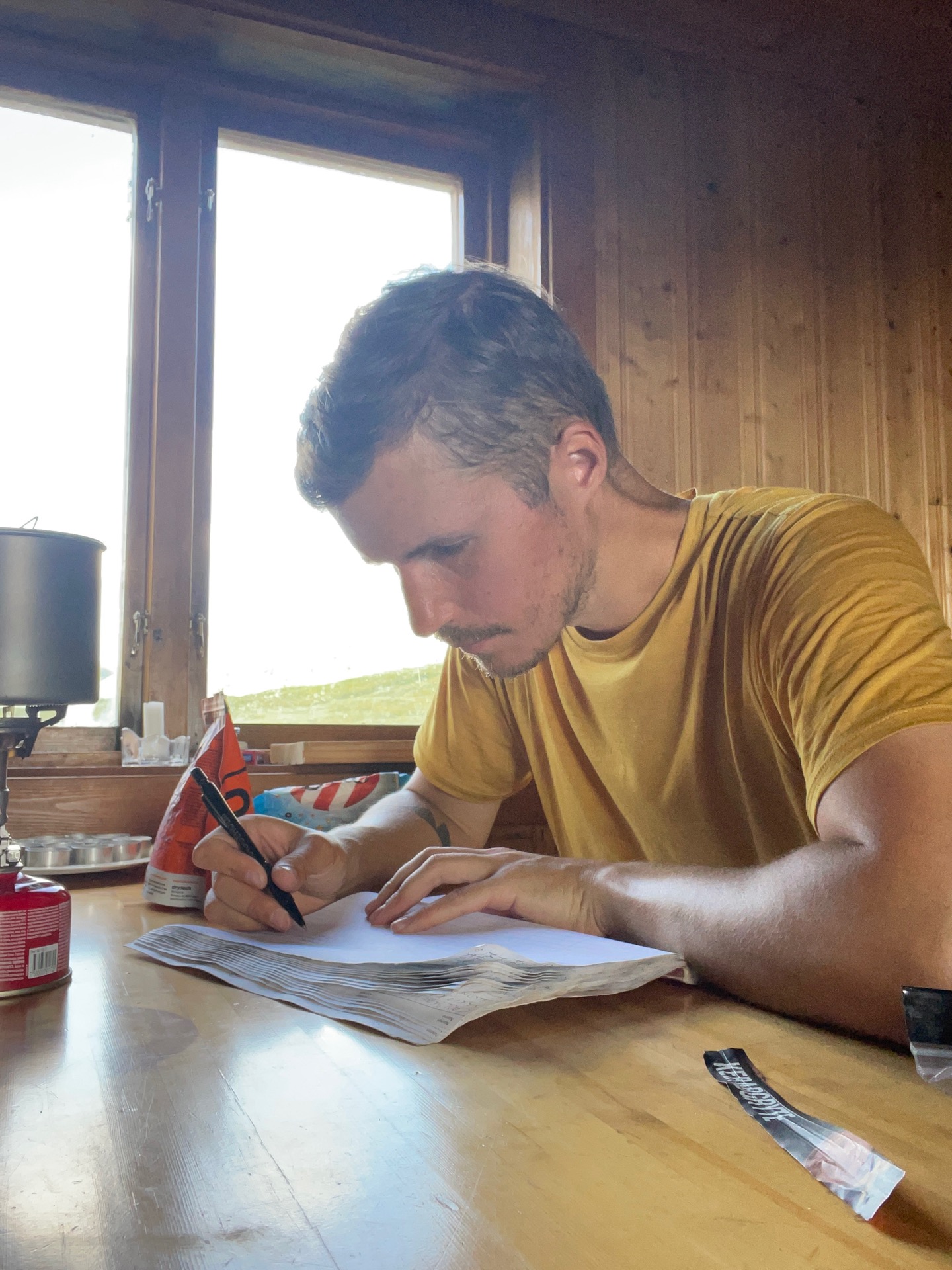
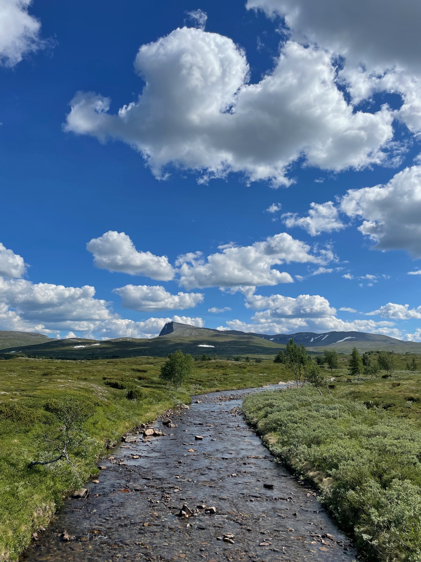
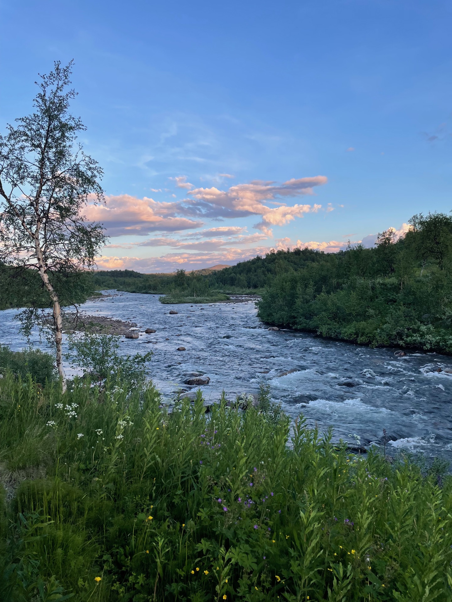
After breakfast buffet and shopping in a very sunny Klimpfjäll, I put on my (now considerably heavier) backpack and set off on the Lapplandsleden trail towards Hemavan. As soon as I came up above the tree line, I had beautiful views over the lake Klimpviken behind me and into the U-shaped valley Durrenskalet in front of me. In the latter, what looked like a tiny dot a few kilometers away turned out to be the Durrenskalet break cabin. Don’t mind if I do.
I’m reading The Lord of the Rings on my hike, and it was very easy to imagine a hobbit dwelling around the corner in the lush birch forest northwest of the valley. Despite the wide and gentle trail, my swollen right calf started to hurt pretty bad again. I decided to stop for the day when I reached the Tjåkkele cabins.
Tjåkkele is an old farmstead in roadless country that was converted to an unmanned overnight hut by the regional administration, Västerbottens Länsstyrelse. You pay for your stay by sending the region 200 SEK by bank transfer or by Swish. It’s a charming house right next to the Ransarån river, and my first point of order when I arrived was to submerge my legs in the cold river for several minutes. I really hope the swelling goes down by tomorrow.
Day 24
July 11 (40.1 km)

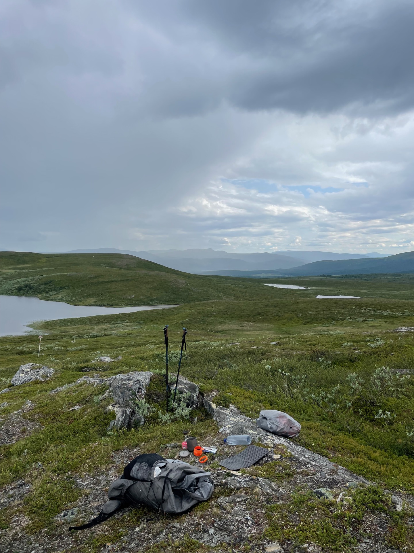
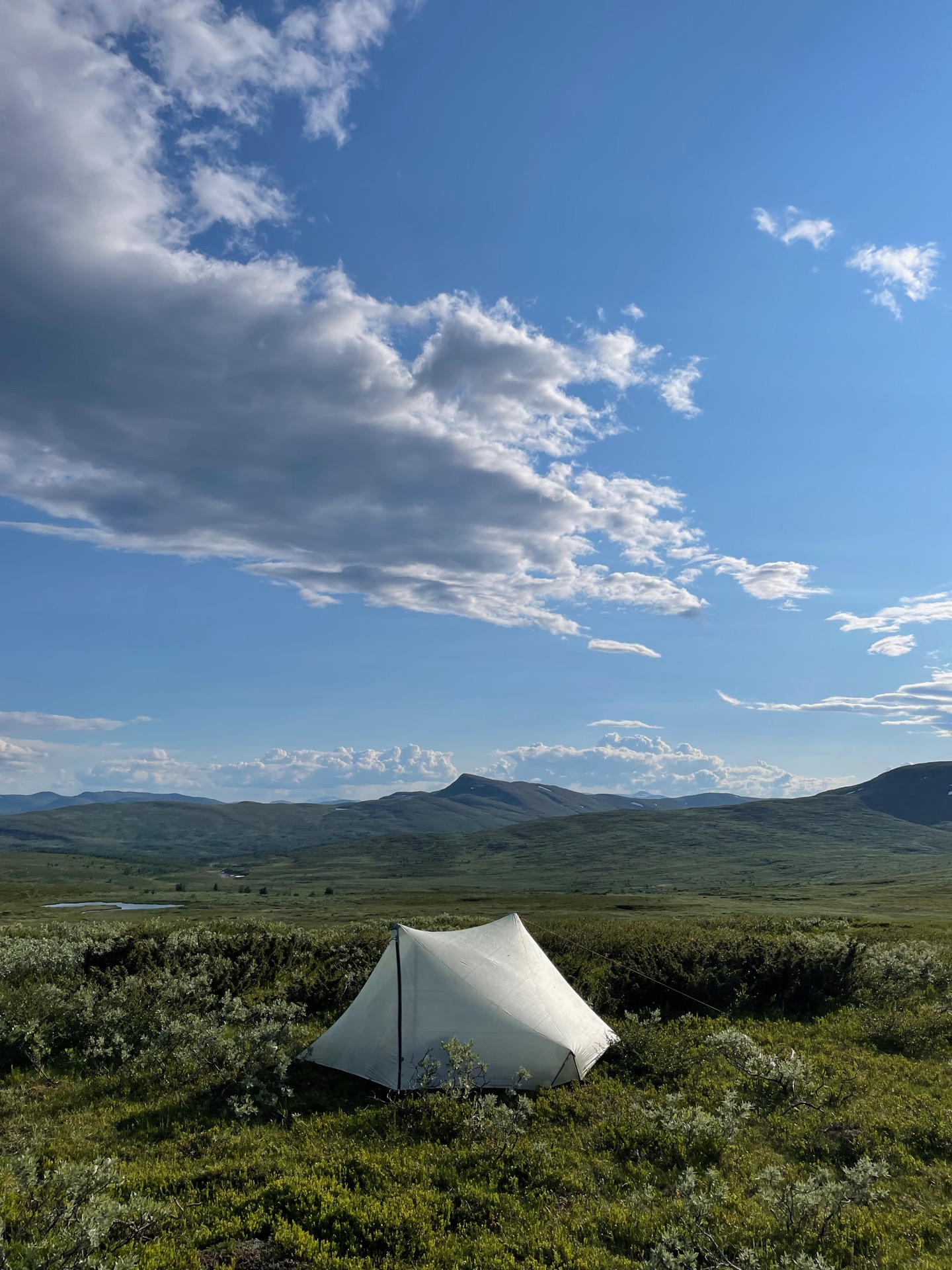
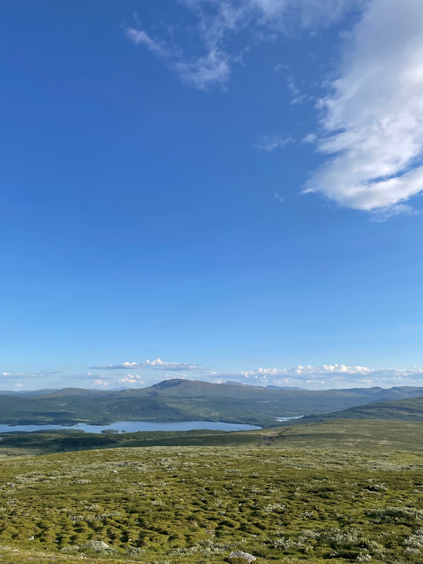
The buzzing of mosquitoes woke me up early in the Tjåkkele overnight cabin, and I crossed the bridge over Ransarån and continued into the Remdalen valley before seven in the morning. The trail follows a ridge through the valley, which gave me nice views over the surrounding mountains. I also passed the much photographed Norgefararleden bicycle. After a 22 degree day with barely a cloud in the sky, it was nice to be back to the regular fjäll weather: 16 degrees and overcast with the occasional rain.
Five kilometers from the Norwegian border, the Lapplandsleden trail turns northeast past an old Sami summer camp and climbs the mountain Raavrevaartoe, where I stopped for coffee. I hope more and longer breaks will help my swollen shin go back to normal. Also, I have sent way too much coffee in my supply boxes, so the more I drink the better. From the mountain, it was another six kilometers downhill to the Åtnik overnight cabin, where I stopped for lunch.
I had gotten it into my head that I would make it back up above the tree line by the end of the day, but I probably should have settled for something in the birch forest. By the time I found my spot up on Östra Vardofjället, I was pretty tired. One perk with being back on the fjäll is that I had signal. After I had pitched my tent, I talked to Rebecka on the phone while I hiked up to the small peak Njeeretjahke. From there, I had beautiful evening views over the surrounding mountains. Tallest among them: the snow capped peaks in Vindelfjällen, 60 kilometers to the north.
Day 25
July 12 (21.2 km)
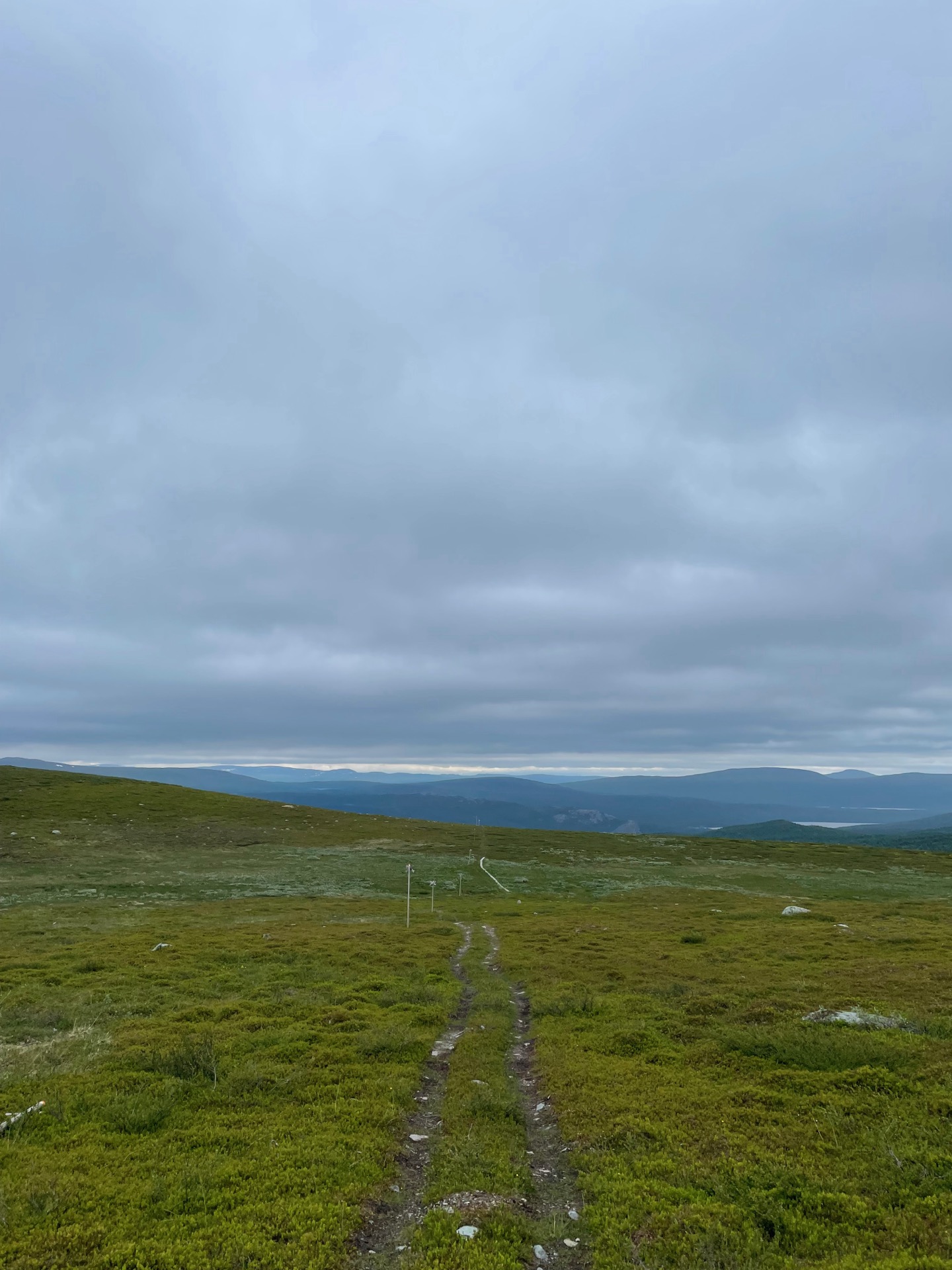


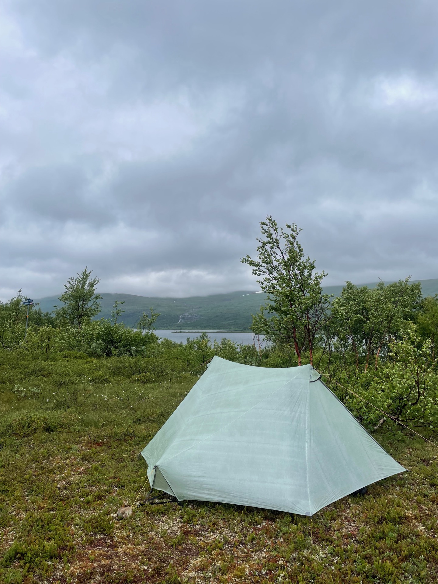
A few kilometers above the tree line, a few more in birch forest, and then I descended to the asphalt road called Sagavägen. I followed it west towards the Norwegian border, and I soon arrived at Gränssjö camping where a sign told me they had candy and ice cream for sale. When I left the well-stocked store with a refilled snacks bag and an ice cream boat, the owner looked up at the dark clouds and said she hoped for my sake that the rain would stay away.
Eight kilometers of road walking later, I prepared my lunch at a rest stop with a sign about Sagavägen and the Vapstälven river just as the rain started. The sign told me that this is the only large Swedish river that leads to the Atlantic. I watched a couple of fly fishermen try their luck while I ate my lunch in the downpour.
From that rest spot, the Lapplandsleden trail leaves the road and climbs 200 meters to the lake Skalvattnet, and then continues to climb almost 300 meters up to the ridge Skaalmavaartoe, which it follows until the trail climbs another 400 meters up to Stoere Tjåhke. That’s a whole lot of elevation gain. I had planned on making it a short day, and I figured my tent spot options would be limited if I continued past the lake.
When I was about to start the climb from the road, I met a couple who were hiking the trail in the other direction. They told me that the wind had been strong above the lake, and that the low clouds meant little to no visibility from the peaks. That settled it for me. I pitched my tent when I reached the lake Skalvattnet around three in the afternoon. If the weather is with me, I could get some amazing views tomorrow morning.
Day 26
July 13 (33.4 km)
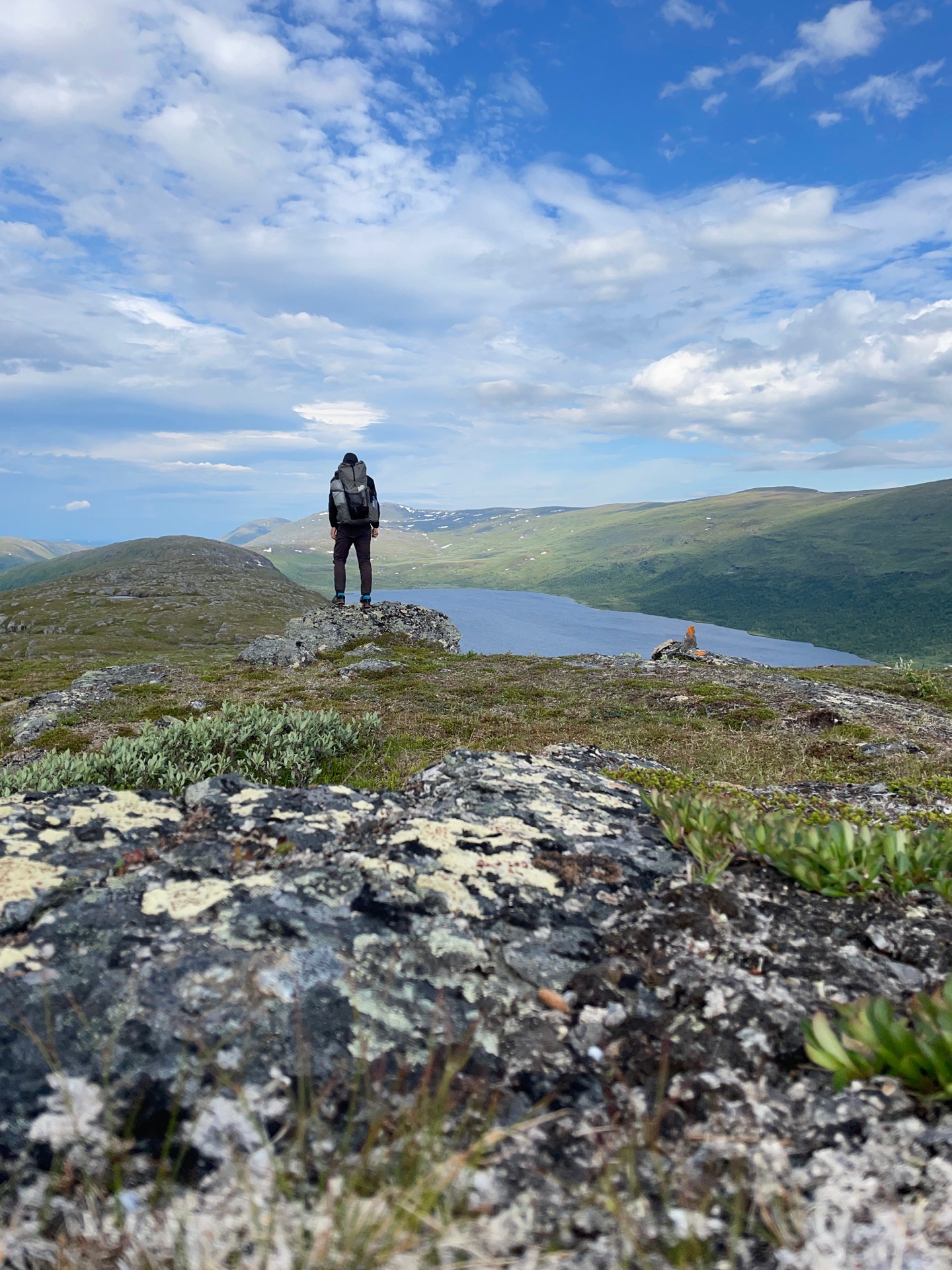
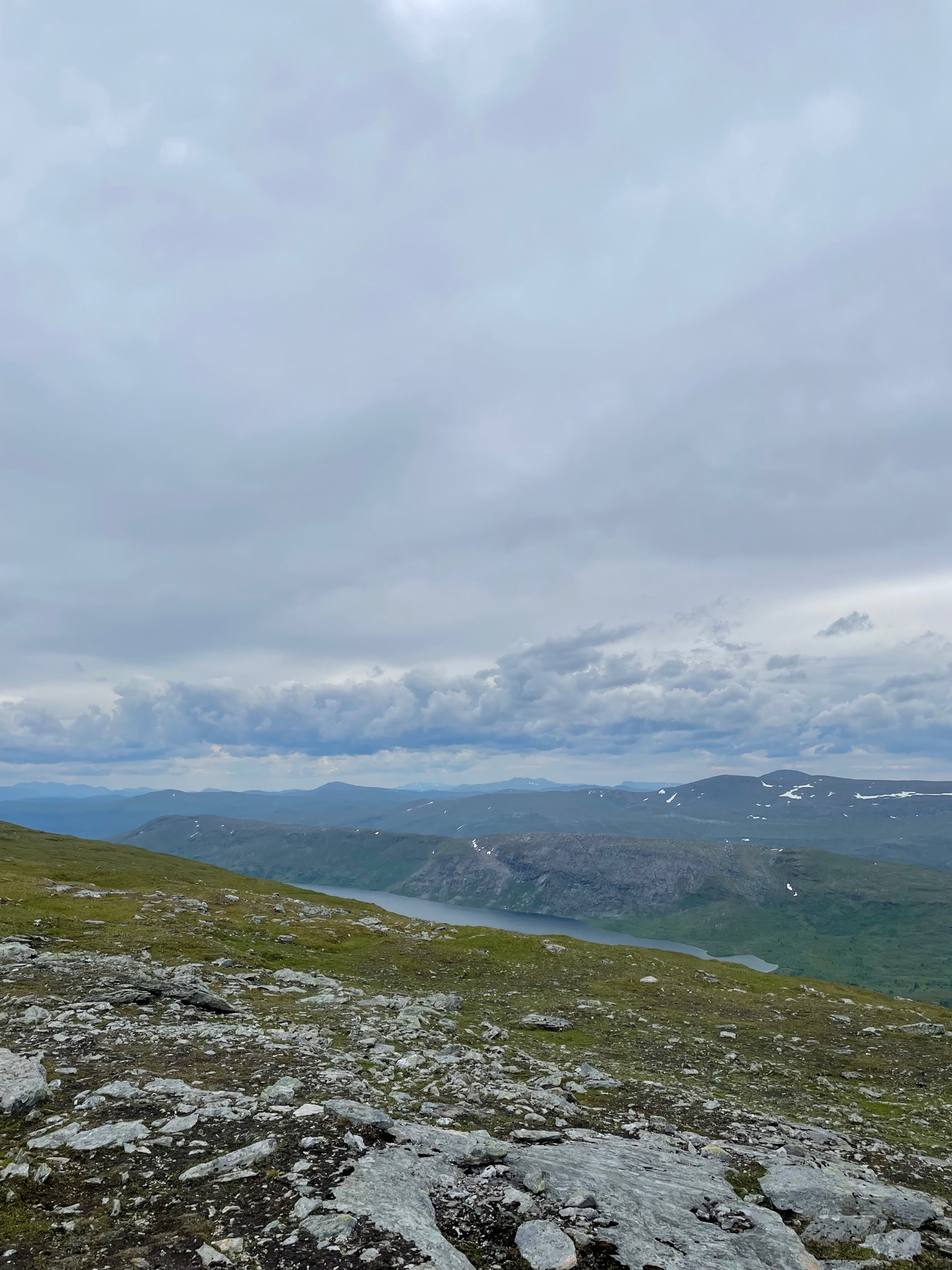
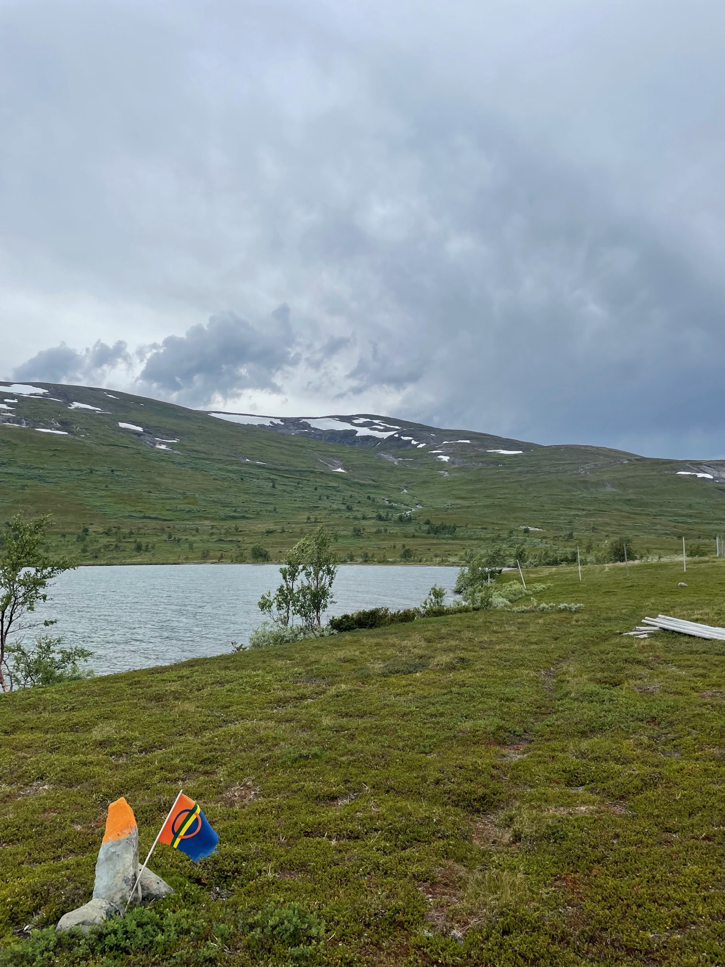
My prayers to the weather gods paid off. When I woke up at the lake Skalvattnet around seven, the sun was out and the sky mostly clear, with a little bit of wind. Perfect weather for the day I had ahead of me. It started with the 200 meter climb to the ridge line between Skalvattnet to the north and the village Skalmodal to the south. The steep descents on the sides of the ridge gave me stunning views in all directions as I followed it west. The topography felt more Norwegian than Swedish, but then again, the border was only kilometers away.
After a brief snack break west of the peak Aamere, I followed the trail as it rounded Skalvattnet and continued directly towards Stoere Tjåhke, which rises to the north of Skalvattnet like a wall. The steep 400 meter climb up and down the 1200 meter high ridge was the toughest of my hike so far, but the views! The views are almost always worth it. My knees did complain during the descent to the lake Arevattnet, but they’ll get a chance to recuperate during a rest day in Hemavan. The trail rounded the western shore of Arevattnet and continued through birch forest to the Arevattnet overnight hut, where I stopped for a late and long lunch just as it started to rain.
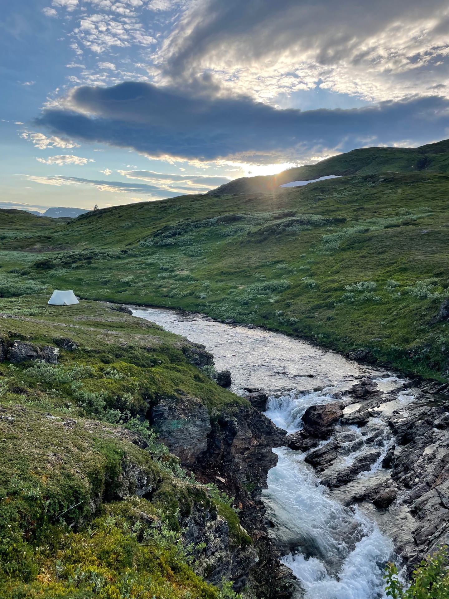
The trail turned north and climbed back up above the tree line after Arevattnet, and the rain had transformed the entire eastern slope of Naajhrege into a two kilometer long stream. I was grateful I’d put my Rocky Gore-Tex socks on before I left the overnight hut. Still, hiking on the flat moor felt quick and easy after the 1 000 meters of elevation gain the trail had just put me through, and the valley south of the Deavna break cabin was easy on the eyes when the rain let up. I found my tent spot on a cliff next to the river Kroarmehkie, where I’ll fall asleep to the best white noise there is. It’s been a good day in the mountains.
Day 27
July 14 (35 km)
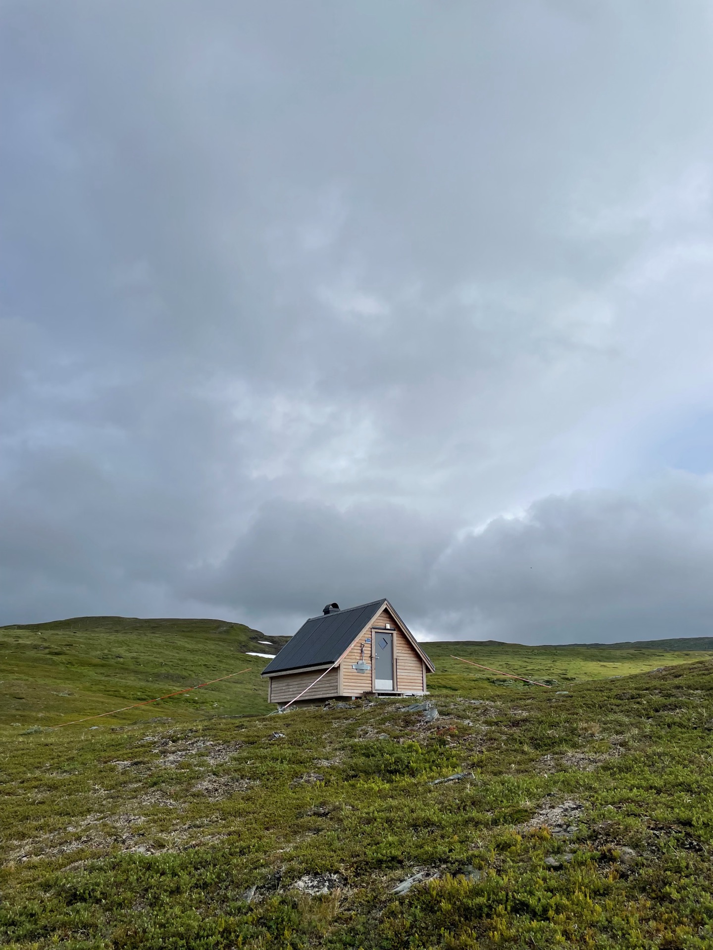

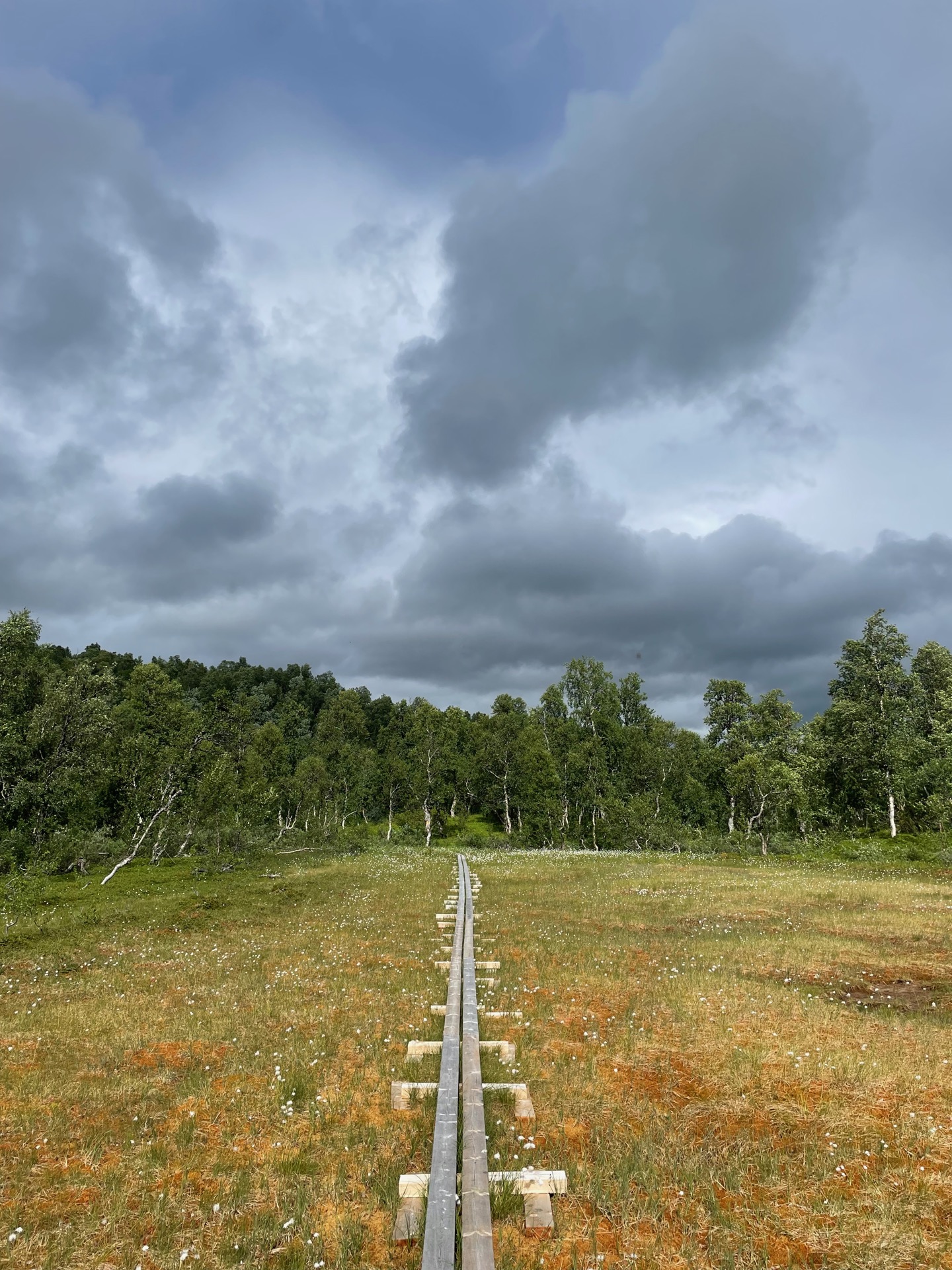
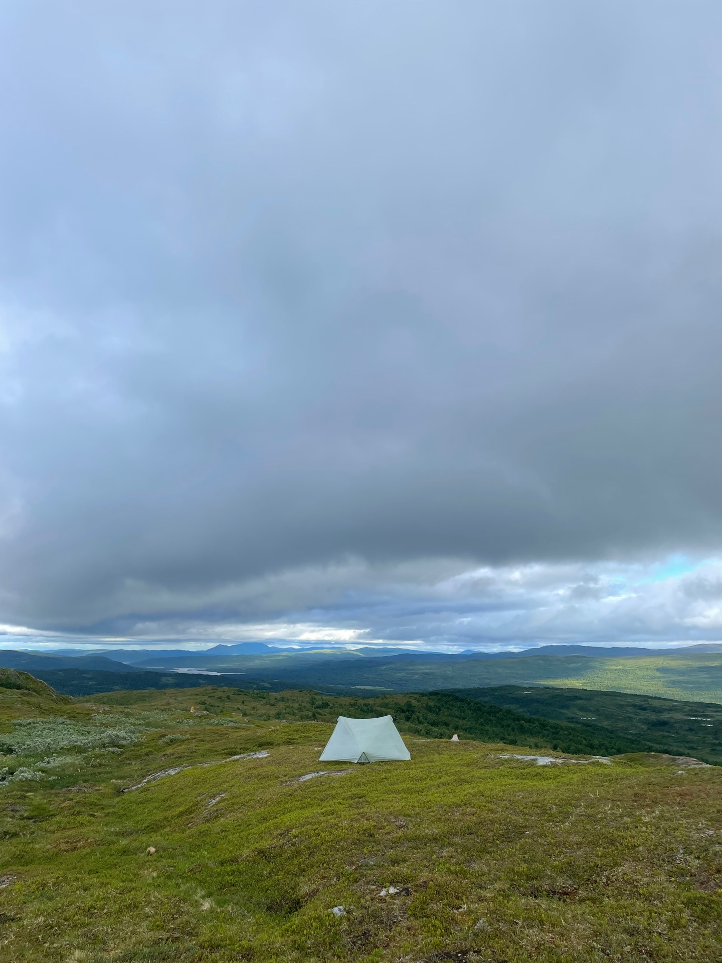
I started the day by crossing the river I had slept by the previous night, and took a break at the Deavna break cabin after only 2 km. Passing a cabin without taking a break almost seems impolite. In front of the Deavna cabin, there were several good tent sites with nice views over the valley.
The fjäll east and northeast of the mountain Deavna were impressive and fun to hike through in the light drizzle. Less so when the drizzle turned to proper rain. After I had taken off my wind jacket, put on my midlayer over my t-shirt, put on rain pants, rain jacket and fleece gloves with rain mittens, it abruptly stopped. Classic practical joke. I decided to call the bluff and keep everything on for a while, and my bet paid off. When the rain returned, it was in the form of a downpour. It continued with only brief respites until I reached the Atostugan overnight hut below the tree line.
From Atostugan, eight kilometers of rain-free road walking took me past the villages Boxfjäll and Joesjö, where a Norwegian man stopped his car and offered to drive me to Hemavan. It was kind of him to ask, but hitchiking is not an option on this hike. Barring a few lakes you can cross by boat, you have to make your way on the Green Ribbon entirely by foot. From Joesjö, the trail climbed through birch forest to the lake Skälvattnet, where the trail is replaced by row boats for about 750 meters due to a landowner unwilling to have the trail on their land. I followed the shore off-trail instead of taking the boats. Allemansrätten strikes again.
Tomorrow: Hemavan! I’m very keen on a warm shower.
Day 28
July 15 (30.2 km)
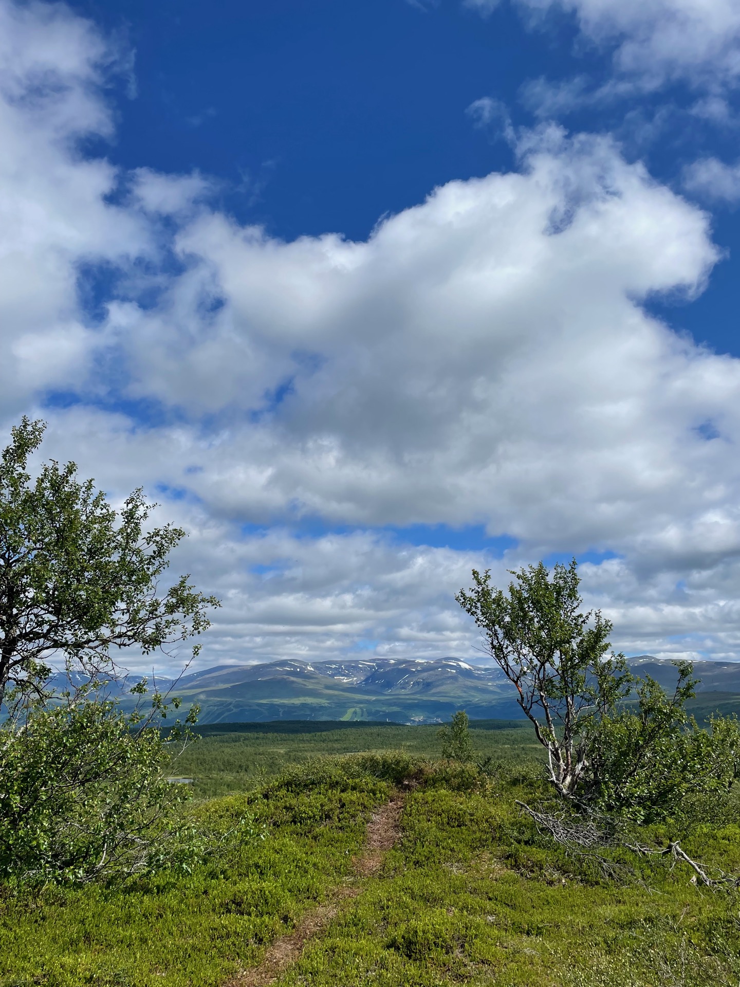
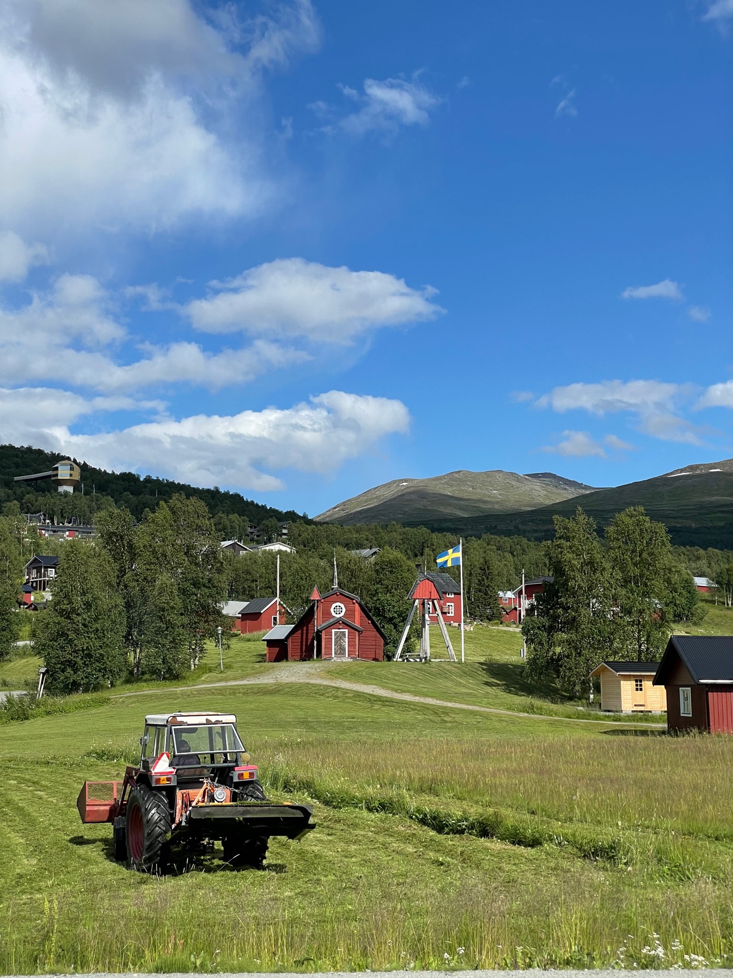
A little bit after lunch, I crossed the bridge over Umeälven and arrived at Hemavan – the town generally considered the halfway point of the Green Ribbon. I’ll take my first rest day here tomorrow. The sense of déjà vu was strong as I walked to Hemavan Fjällcenter to check in. Two years ago, me, @walkin_bill and @brenn_cox had dinner here after we finished the King’s Trail. The only vegan thing Will could get was from the drinks menu, so he had a drink while he watched me and Brendan eat dinner.
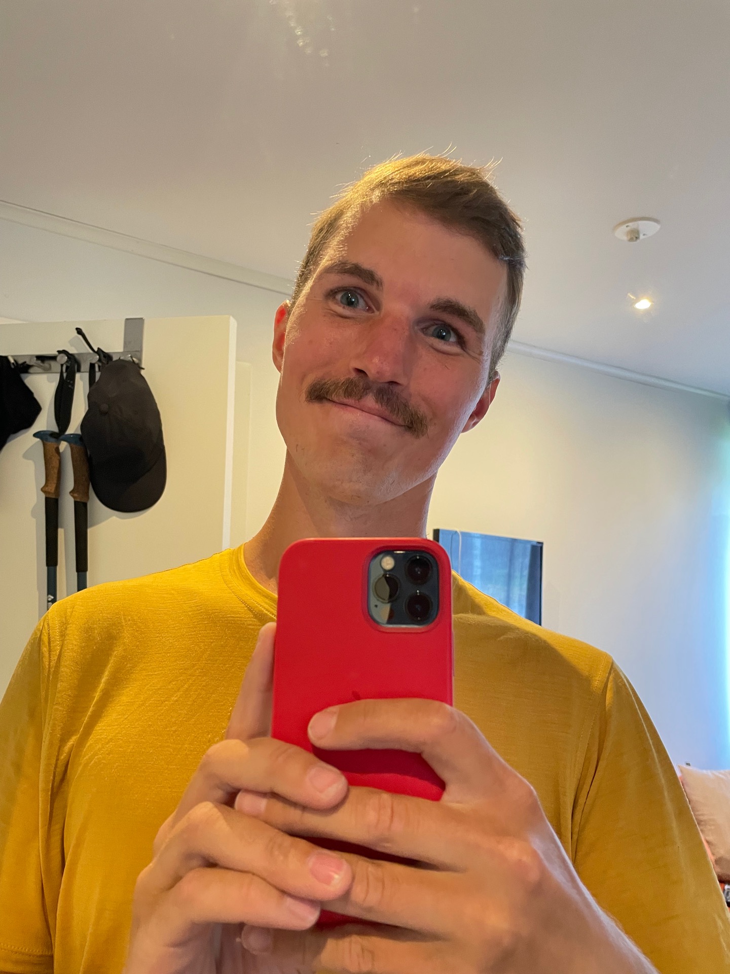
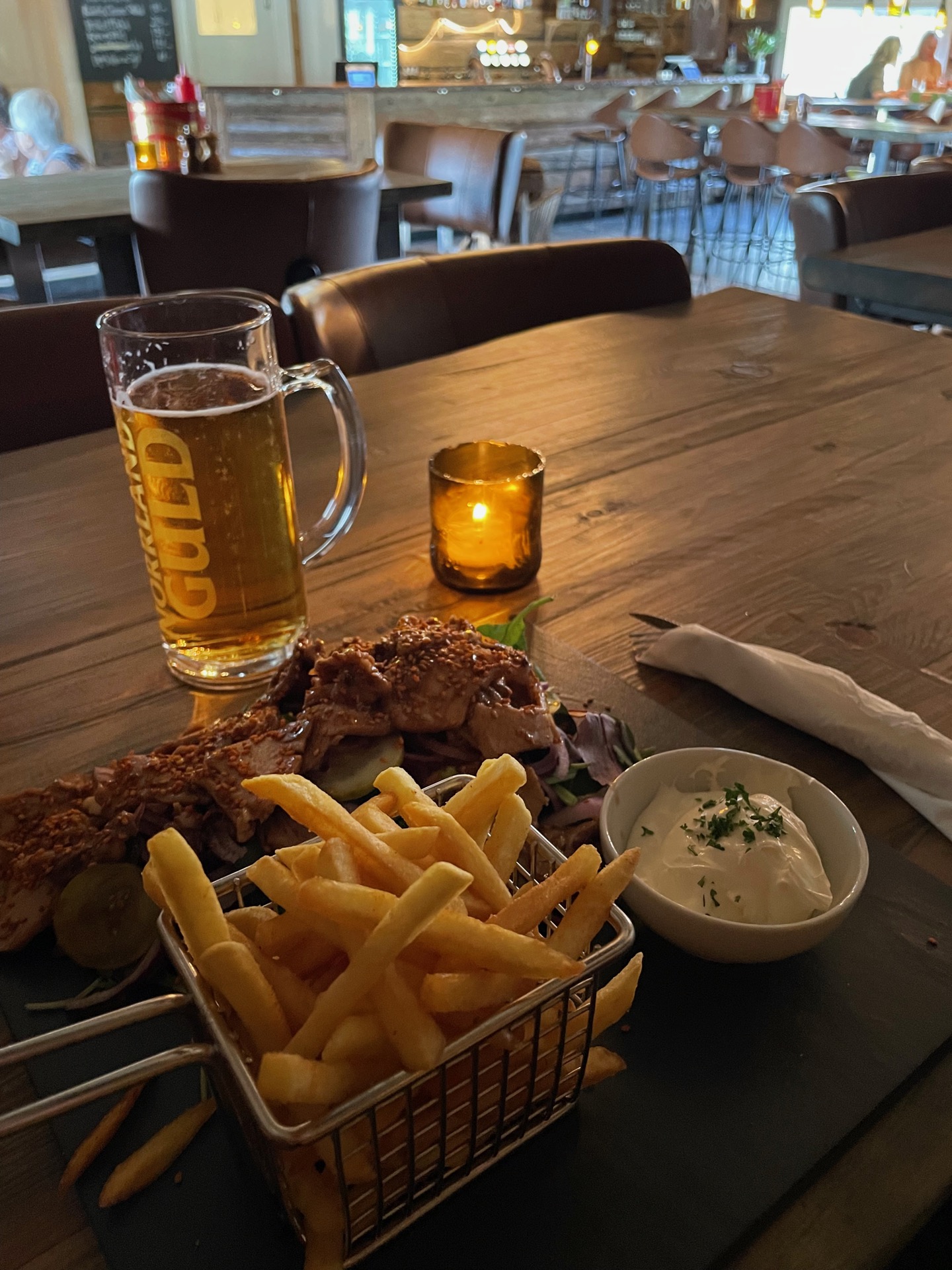
If I was a sim, my hygiene bar would have been deep in the red when I had checked in and closed the hotel room door behind me. I stood in the shower until Umeälven ran dry and I had to get on with the next order of business: shopping. In addition to bars and snacks (I’m picking up my next supply box tomorrow), I bought razors. Rebecka made me promise to reach the Three-Country Cairn wearing a mustache, so I’ll continue my hike looking like Tom Selleck (according to my Instagram story poll). I had dinner at @stockstugan_hemavan, which was great. Tasty food, cozy atmosphere. My canine table mate didn’t say much, but seemed to agree with my rating: 🍖🍖🍖🍖🍖
I missed out on the 25 kms between Borgafjäll and Slipsikstugan, but I really liked the rest of Lapplandsleden. Especially the part from Gränssjö to Atostugan, which had some of the most dramatic views of the hike so far. Still, I’m looking forward to a zero day in Hemavan tomorrow. Both my gear and my body could do with some rest and repairs before I continue north to Vuoggatjålme on Monday.
Day 29
July 16 (0 km – rest day)
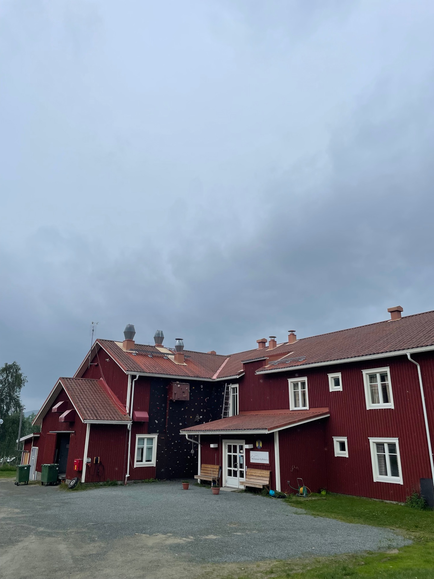
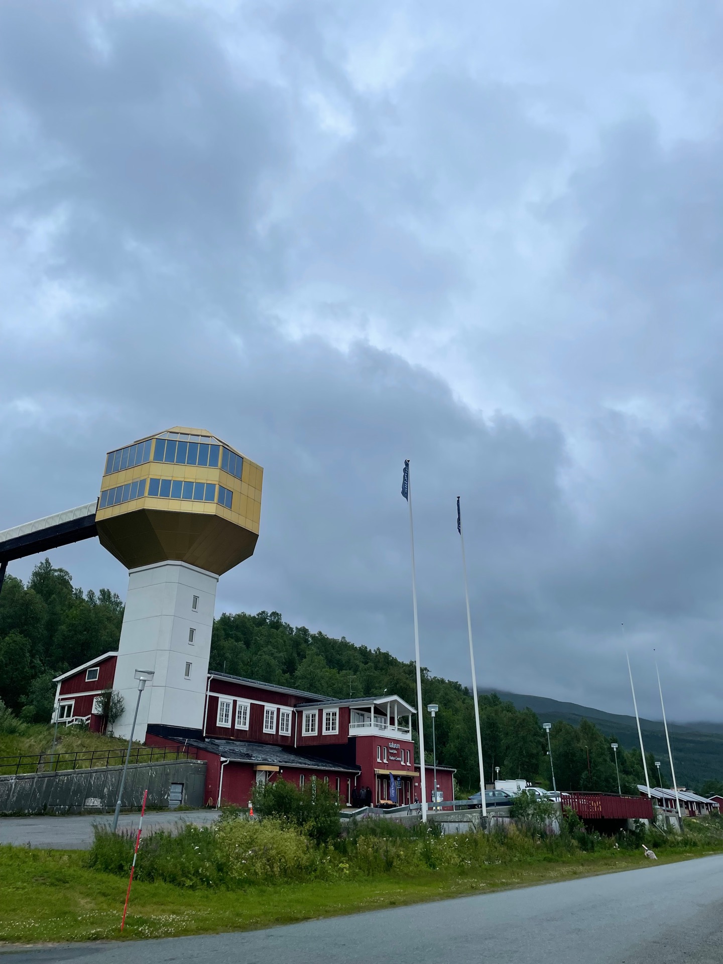
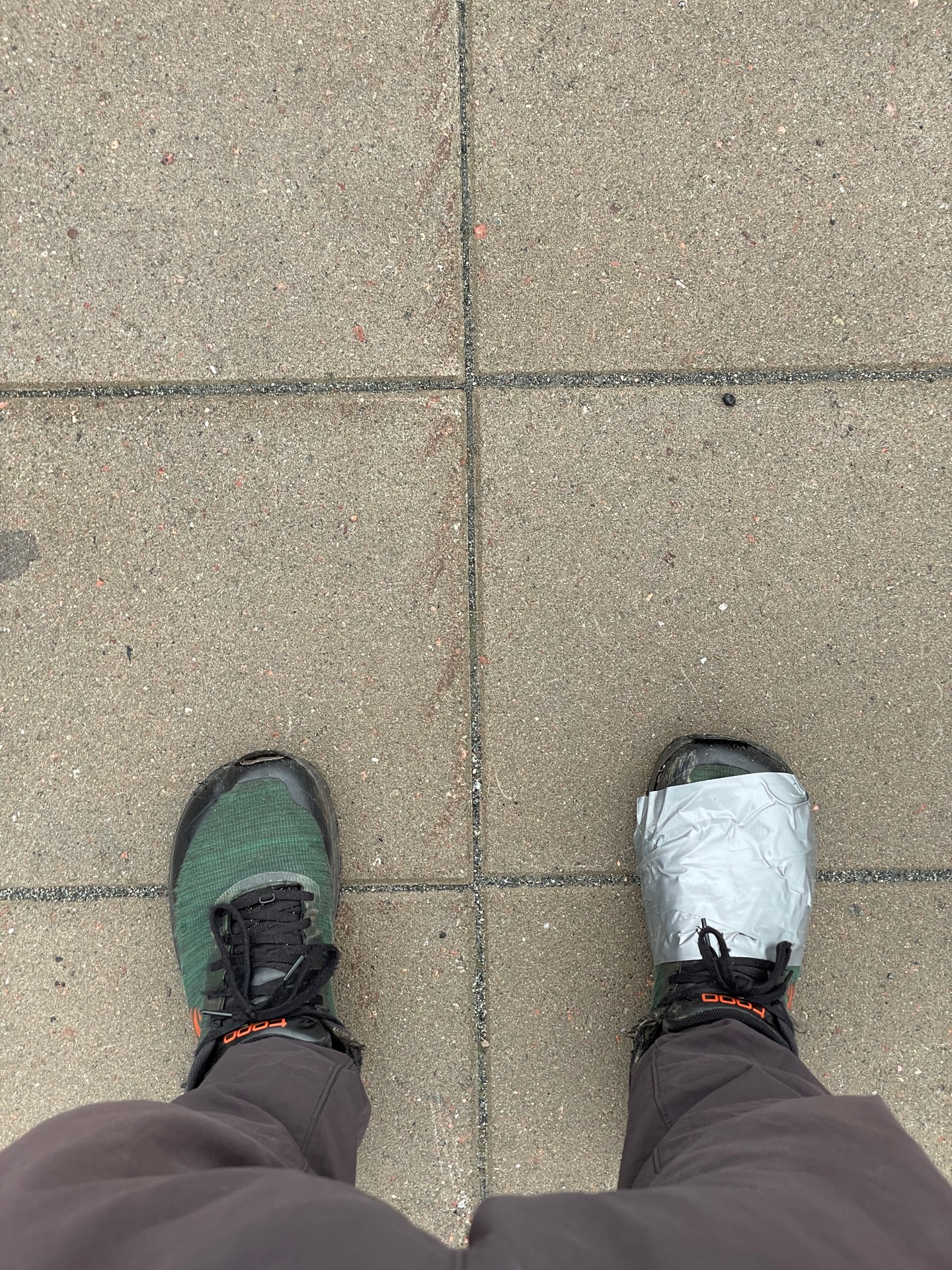
I lucked out with my rest day. The forecast predicted 20 mm of rain and gusts of 16 m/s in Hemavan, and I’m glad I wasn’t hiking through the wind tunnel Syterskalet in that weather. Instead, I started the day by leaving Hemavan Fjällcenter and walking to Hemavan Fjällstation, where I’d spend my second night in town. The latter was holding my resupply box but was fully booked on day 28. When I had dumped my backpack, I headed up to the visitor center for the Vindelfjällen nature reserve to see the exhibition and drink coffee until I could check in.
After 700 something kilometers on the trail, the stitching between the top and bottom of my right shoe has started to come loose. I’ve “fixed” it with a whole bunch of duct tape, and swapped out the insoles for extra comfort. Hopefully they’ll hold together until Abisko, where I’ll meet up with Rebecka on August 3 and switch them out for a new pair. I’ve also thrown out my headphones, which have been in one rainfall too many and are now fully busted. Other than that, my gear seems to be ready for the second half of this adventure.
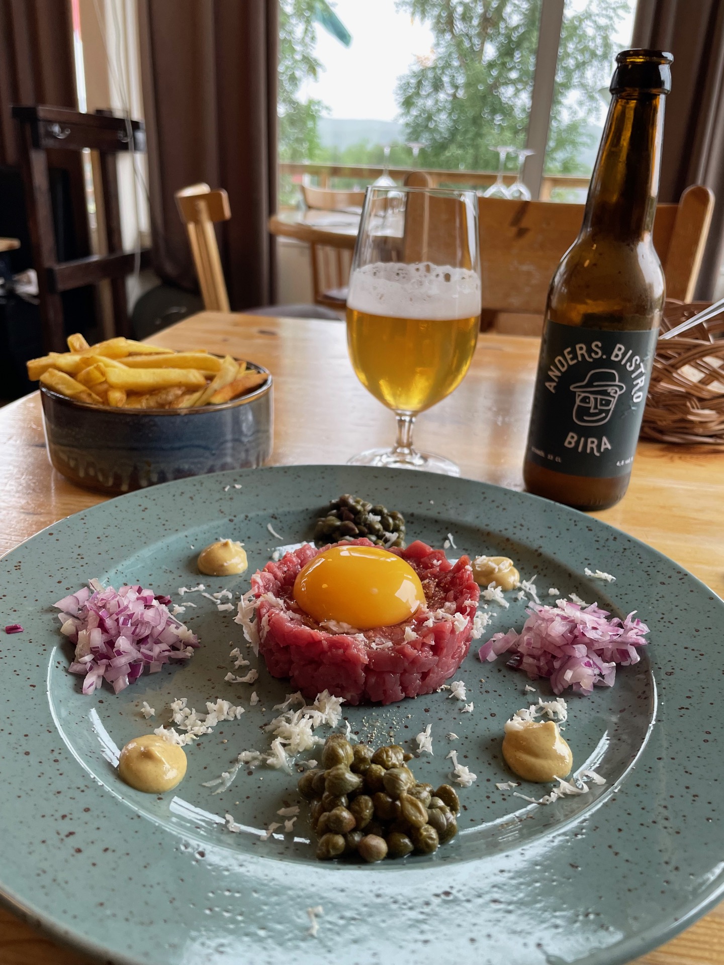
I spent the rest of the day shopping at ICA, sending home maps for the southern sections, repacking my hiker meals in zip bags to save volume, and just a whole bunch of taking it easy and not walking long distances. Dinner at @anders.bistro seemed like a very appropriate way to end a day dedicated to self-care. I did not expect to come across steak tartare on my Green Ribbon.
Tomorrow, I’m back on the King’s Trail. I’ll follow it until STF Tärnasjöstugan, where I’ll turn north for Vindelkroken ➡️ Vuoggatjålme ➡️ Staloluokta, and then it’s the Padjelanta Trail to Ritsem. Everything between Tärnasjöstugan and Staloluokta will be new to me, and I’m very excited for it.