This is the diary from my 2023 Green Ribbon hike through the Swedish mountain chain. For an introduction to the hike, see part 1.
Day 30
July 17 (32.6 km)
After breakfast buffet at Hemavans Fjällstation, I headed up to the gate that marks the southern point of the 450 km King’s Trail. On the way, I stopped by the visitor center for the Vindelfjällen nature reserve to weigh my backpack. The needle landed on 14.3 kg. About half of that was my supersized food bag, which looks like a stranded baby whale in its gray dyneema material. I’m going to be a very motivated eater in the coming days.
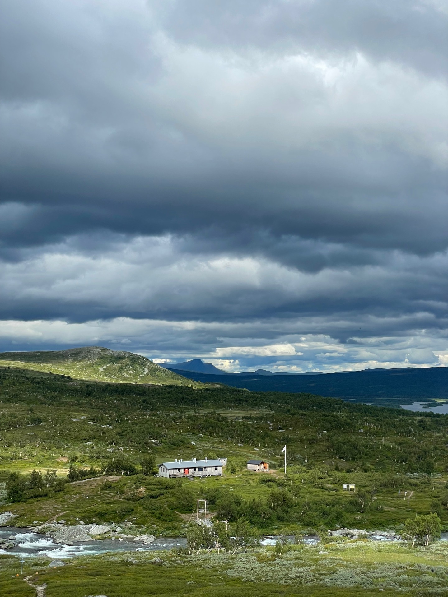
When I arrived at the Swedish Tourist Assocation (STF) Viterskal cabin, it rained quite a bit and the sky looked like it had more coming. The cabin host door was opened by experienced cabin host Doris, who had Servestugan when I hiked the King’s Trail. First, she gave me a glass of lemonade and a bun. Next, she took one look at the duck tape repairs on my right shoe, smiled, and told me we could MacGyver something better (maybe not with those exact words). The tape was soon replaced by a piece of twinned plastic string, fastened to the shoelace holes, and I got some thin steel wire in case the plastic string wears out. Cabin hosts are the best.
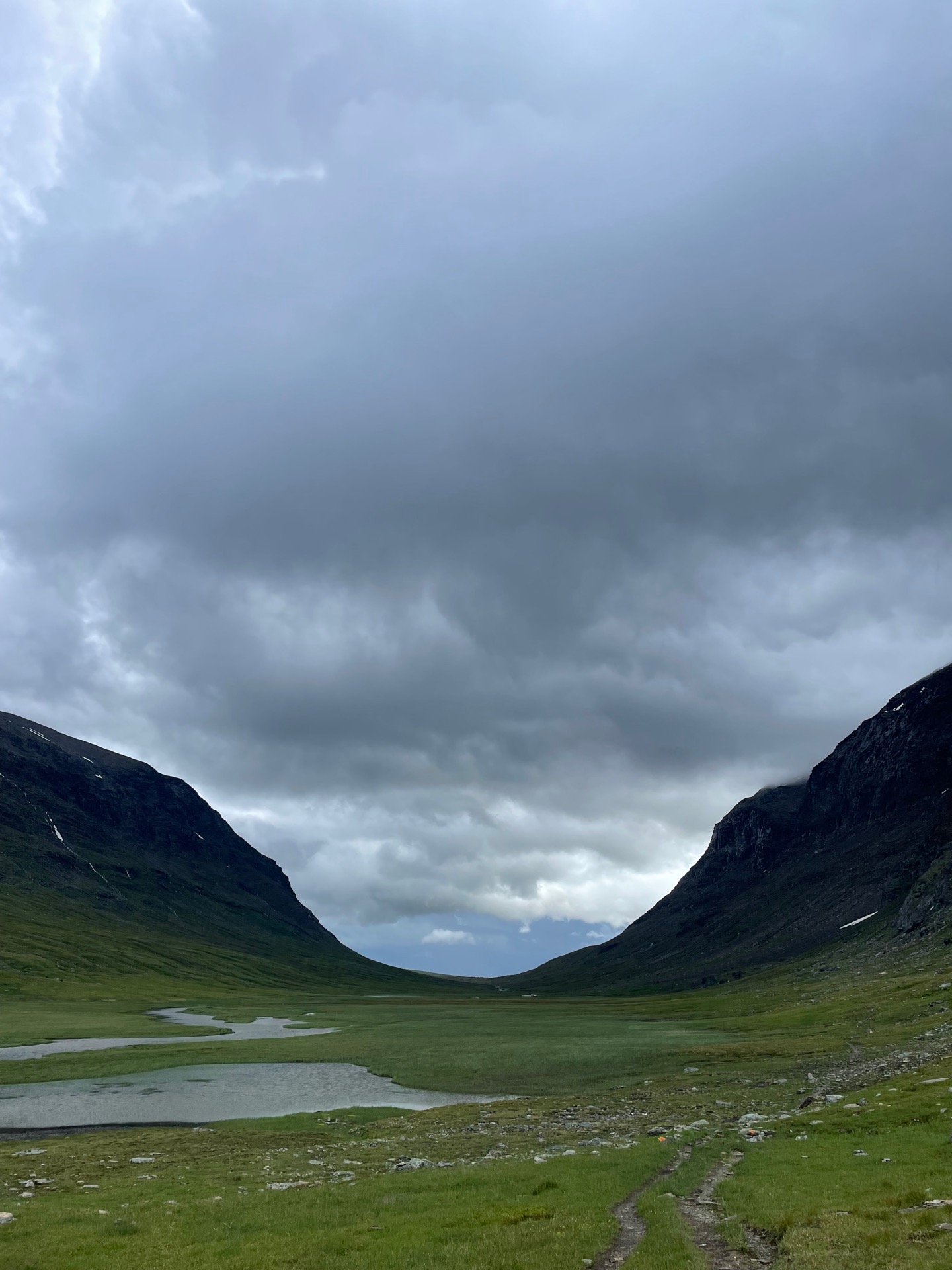
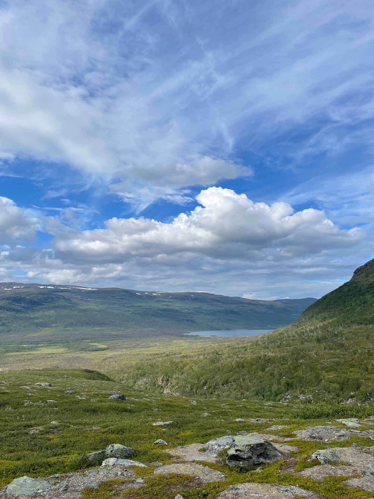
The weather had cleared up enough to give me nice views as I hiked through the dramatic Syterskalet. When I reached the top of the moor south of the valley, I was reminded that the fjäll north of Hemavan truly are on a different level. The views over Syterskalet to the west, bare mountain moors to the south and Tärnasjön to the northeast took my breath away. This! This is why it’s worth it. This is the reward for road walking, horse-fly infernos and swollen calves.
Around four, I arrived at STF Syterstugan and was greeted by cabin host Elisabet. I asked if I could buy a day pass to have a bar and coffee indoors, knowing full well day passes are only until 15:00. She said that since the place was completely empty (“inte en käft”), she couldn’t see why not. Next, she asked if I wouldn’t rather have free home-baked scones and jam to my coffee. Cabin hosts!!!!!
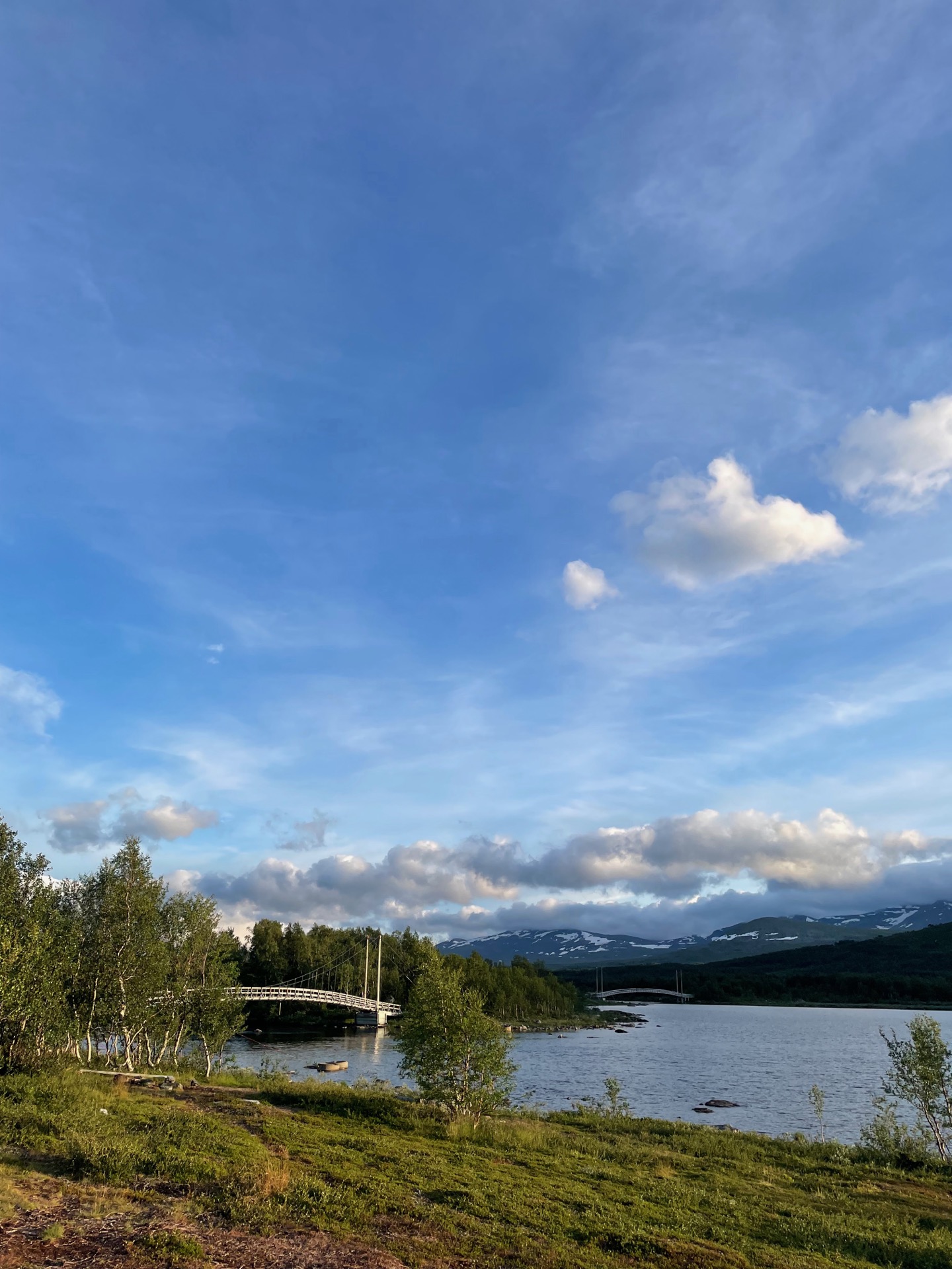
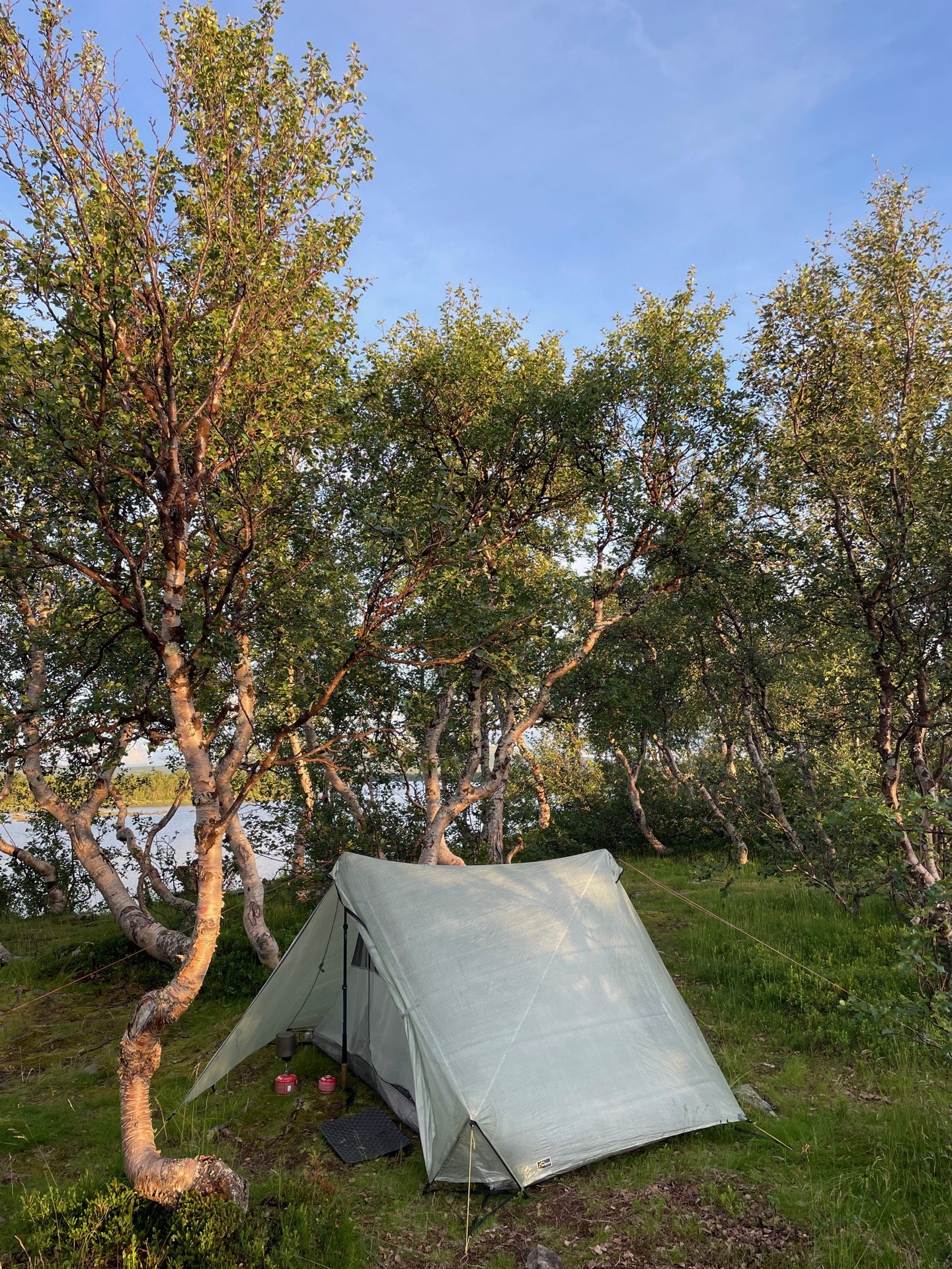
I continued for another few kilometers to the five bridges over Tärnasjön, and put up my tent on the island between bridge three and four. It’s been a good day on the King’s Trail.
Day 31
July 18 (30.5 km)
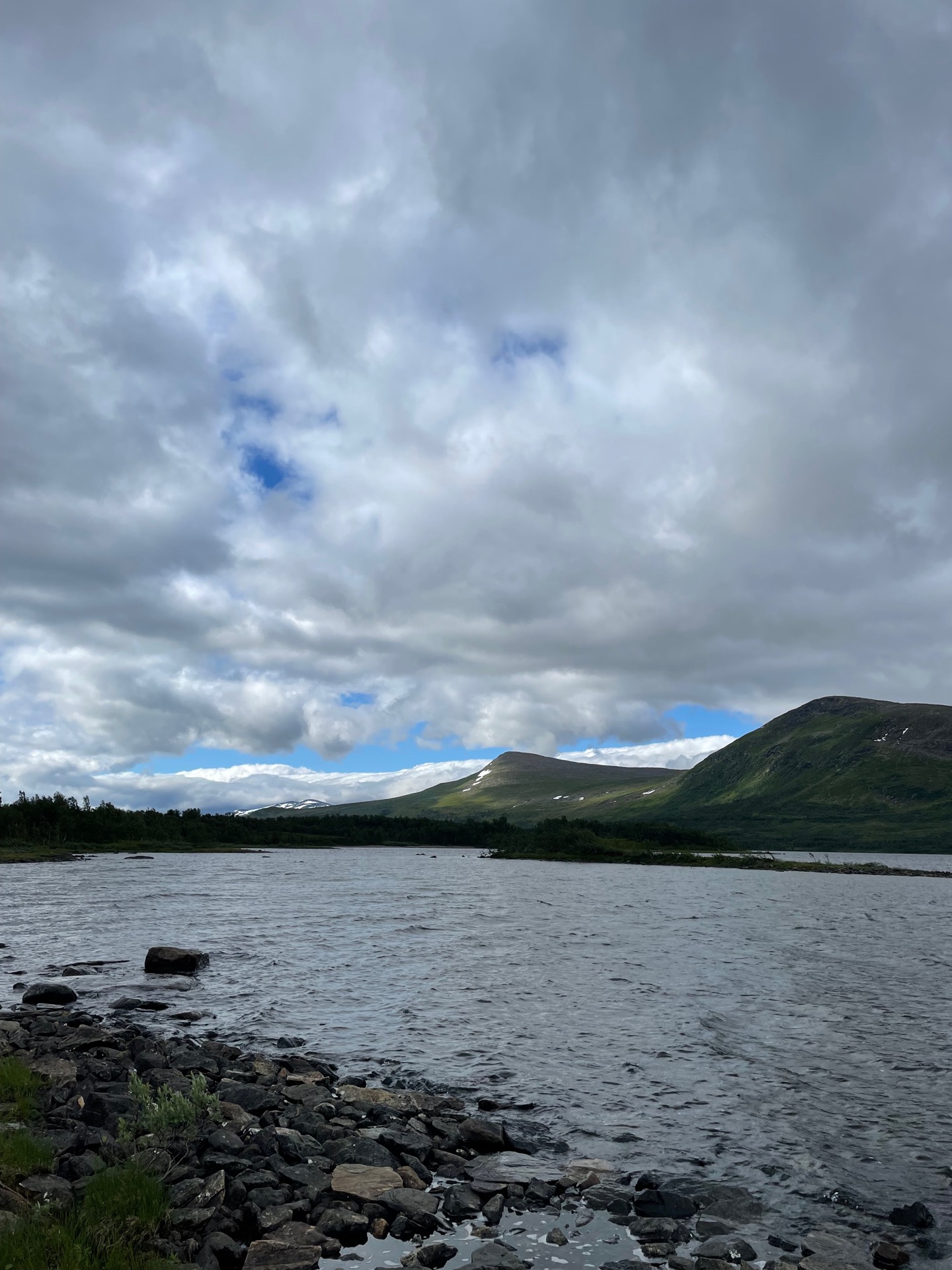
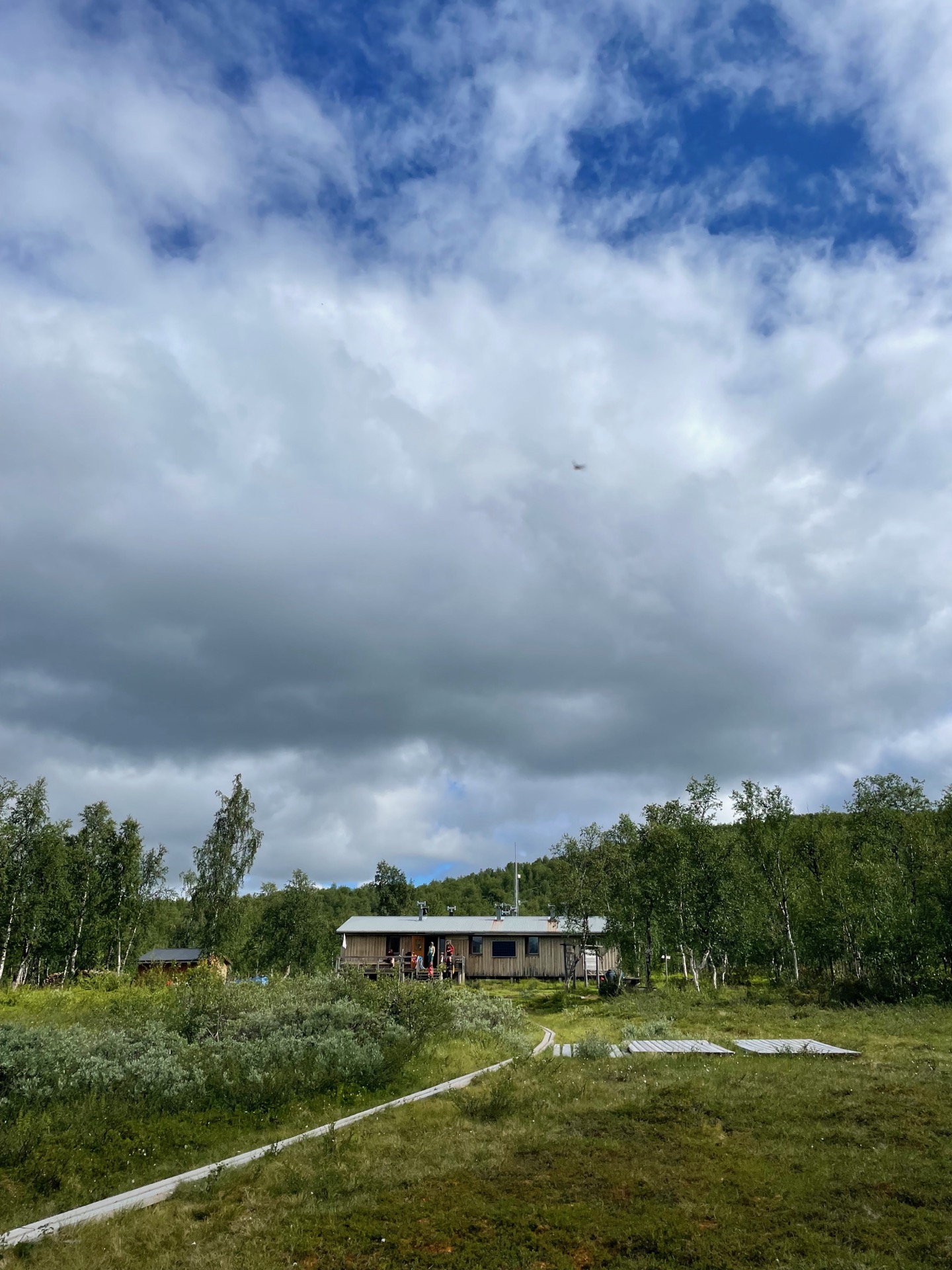


It’s been a month on the trail today! Physically, the rest day in Hemavan did wonders for my right calf. It’s back to its regular non-swollen state and feels fine. Mentally, my calf and shoe troubles led to a low point after Klimpfjäll, but walking through the gates of the King’s Trail felt like a fresh start. I’m looking forward to all the new places I’ll get to see in the coming weeks, and I’m especially excited to meet up with Rebecka in Abisko. A month is a long time to be apart.
I remembered the ten kilometers between the Tärnasjön bridges and the STF Tärnasjöstugan cabin as pretty dull, and that’s still the case. I arrived at the cabin just as the guests from the previous night were heading out, and I paid for a day pass to have coffee and lunch indoors. The cabin host told me that I’d meet few if any people on the trail north to Skidbäcksstugan and Vindelkroken, which was accurate at least for today. I did get some nice views over the valley Lajvavaggie to the west and the mountains behind it.
Skidbäcksstugan is another unmanned overnight hut run by the region, and the current building is only a year or two old with the smell of wood polish still lingering inside. During my long coffee break, about a dozen people drove past the cabin on motocross bikes. I assume they came from the Sami summer camp at Vindelkroken, which I’d pass the next day. After my coffee, I crossed the bridge running over Skidbäcken and continued for a few more kilometers until I reached the tree line. My tent spot was waiting for me on the northern shoulder of the peak Nassa. From there, I had a view of the mountain that has given its name to the overnight hut I’ll pass tomorrow morning: Dalavardduo. I got my tent up just as the rain came.
Day 32
July 19 (35.8 km)
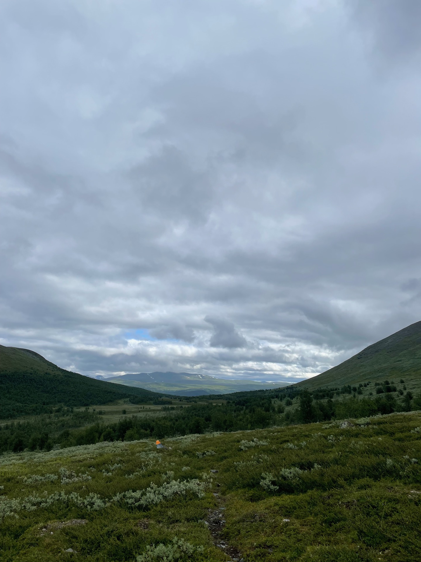
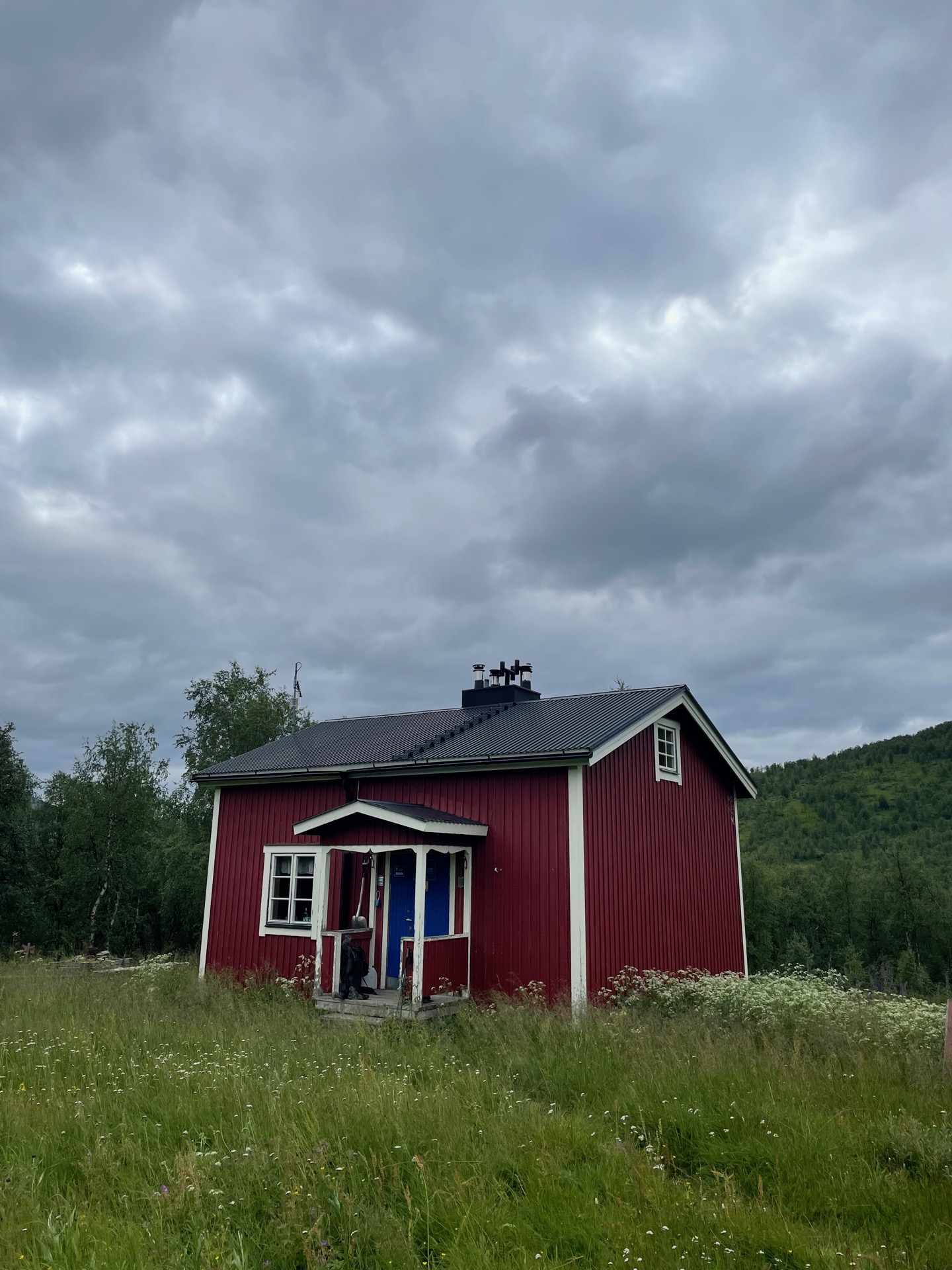
I started my late morning with the trail to the Dalavardo cabin, which was wet and in need of new wooden planks but had pretty views. On my right was the northern edge of Ammarfjället, and in front of me was the mountain Dalvardduo, all alone between the valleys Vijvuovaggie and Vidduolvaggie.
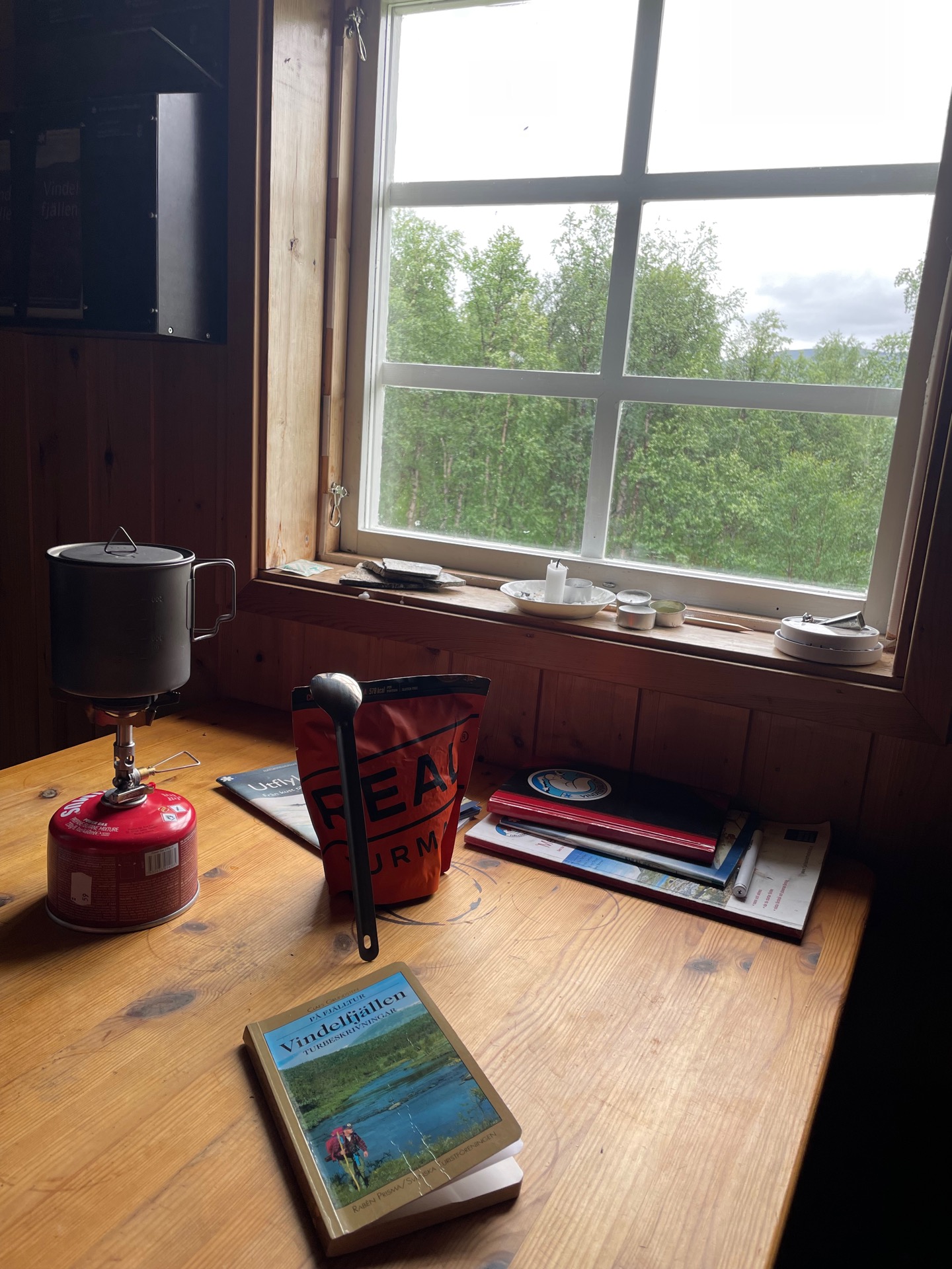
I soon reached Vindelälven – one of the four Swedish national rivers. On the bridge, I met a father and son out on a fishing trip. They arrived at Dalavardo by helicopter that morning, and were scouting for fishing spots along the river. I wished them good luck and continued to the Dalavardo overnight cabin, where I found a copy of På fjälltur: Vindelfjällen by Claes Grundsten from 1998. There’s a sense of time standing still when you’re surrounded by mountains largely unchanged for millennia, having lunch on a farm used by travelers for over 100 years, reading a book that’s 25 years old but still accurate in all the ways that matter. It might as well be 1998.
The trail to the Sami summer camp Vindelkroken took me up and down gently sloping hills with increasingly dramatic views the further north I got, and over bridges crossing glacier green water burrowed deep in the rock. I took a break just past the camp to refuel for the climb ahead of me. A quad trail from Vindelkroken took me above the tree line, and then I set off on glorious off-trail tundra hiking. I rounded the eastern side of the mountain Gåbråjvvie, and on my right, I saw where several small streams come together to form the source of Vindelälven.
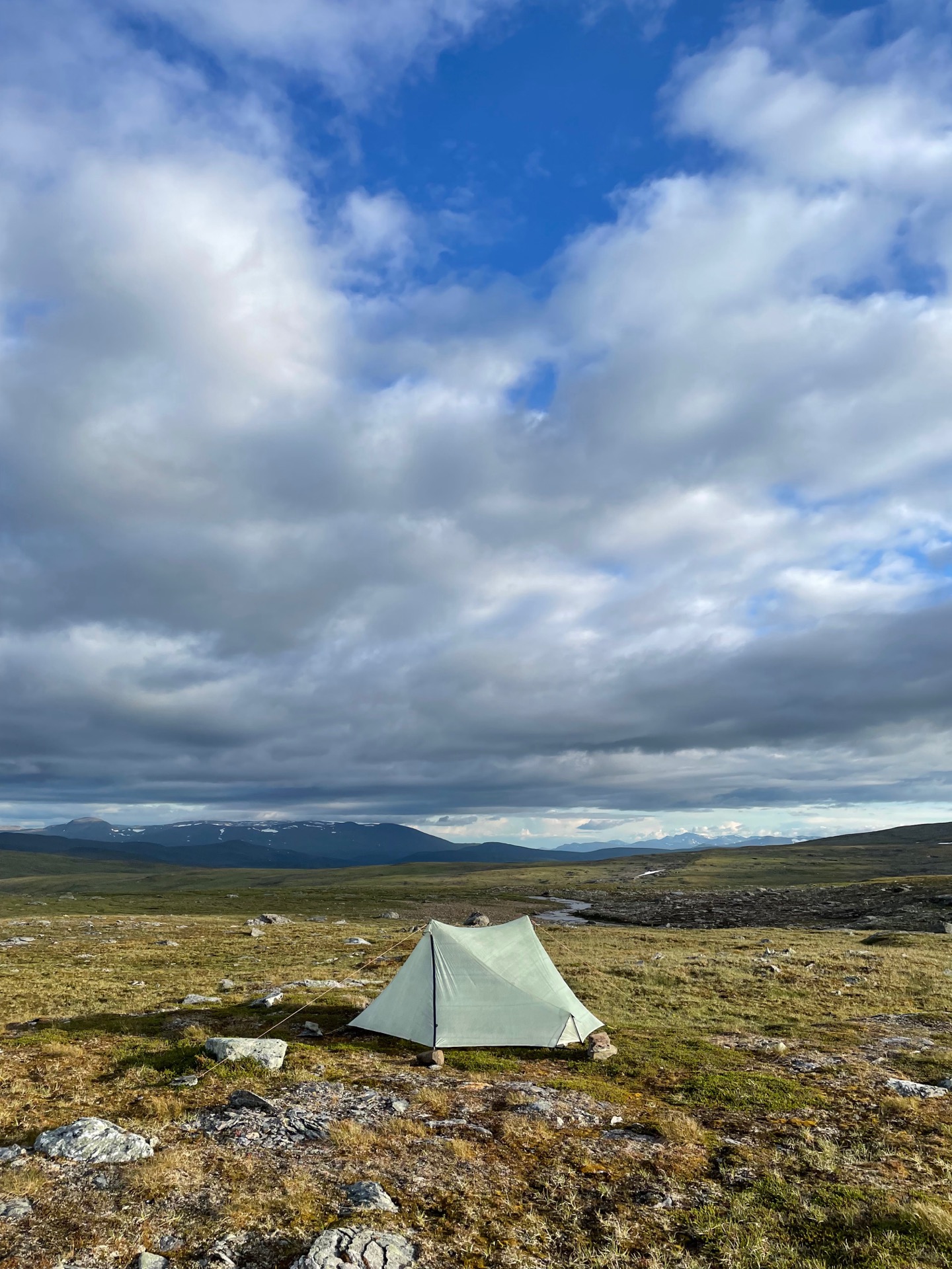
After a few more kilometers, I found a windy but pretty tent spot by lake 983 southeast of the mountain Miehtjietjåhkka.
Day 33
July 20 (35.4 km)
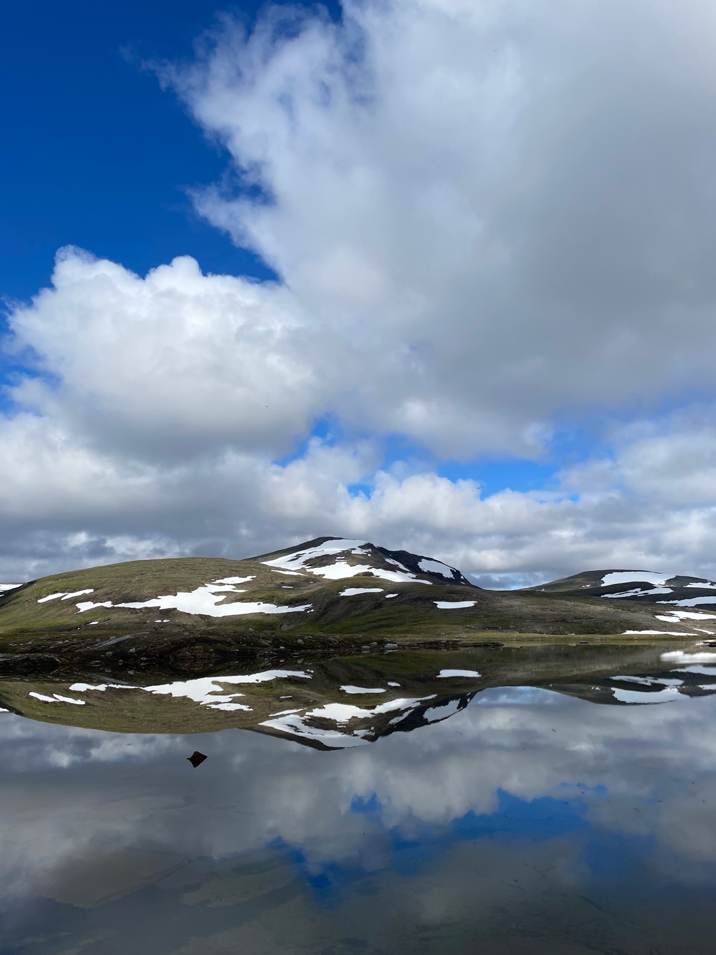
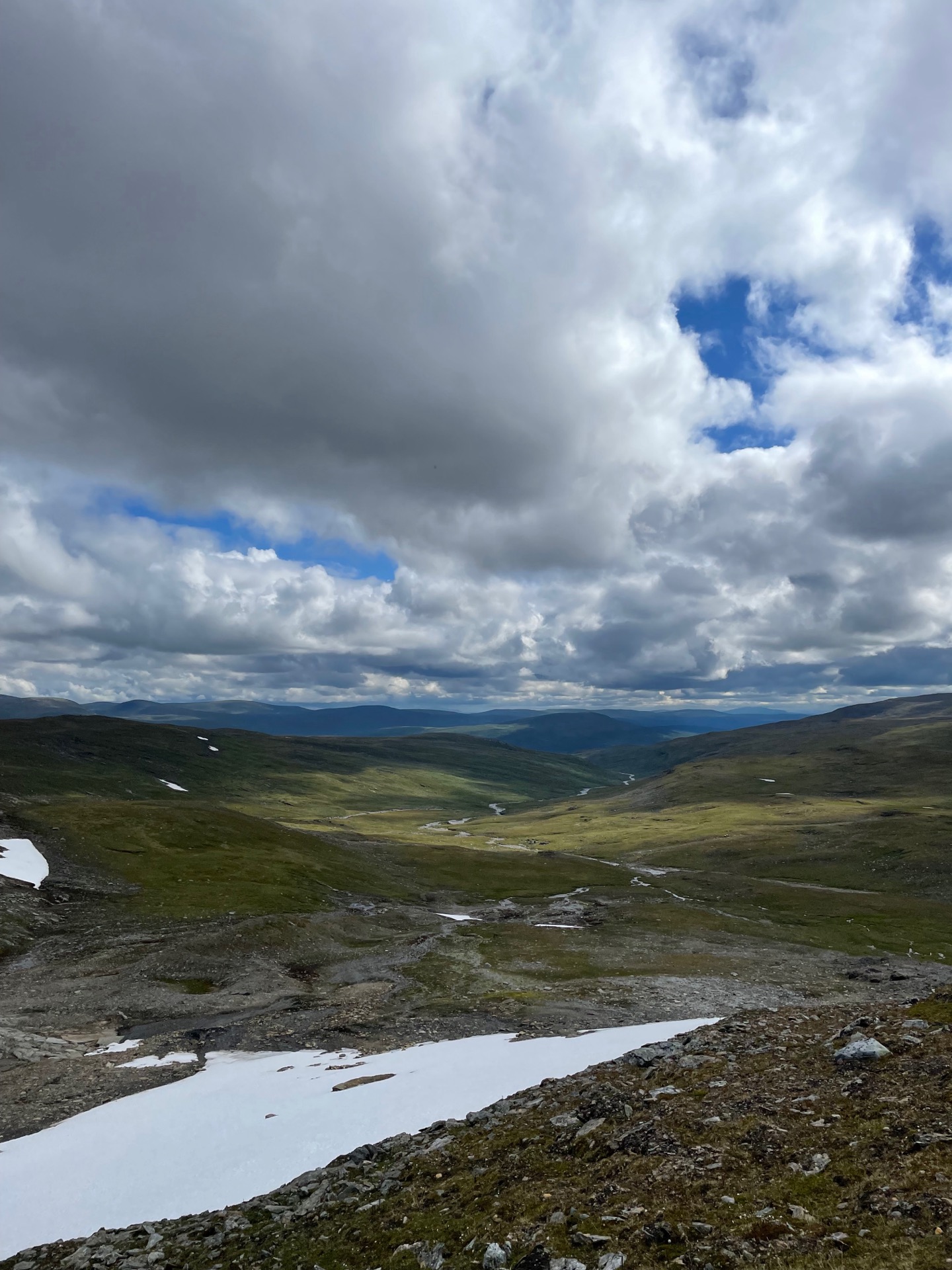
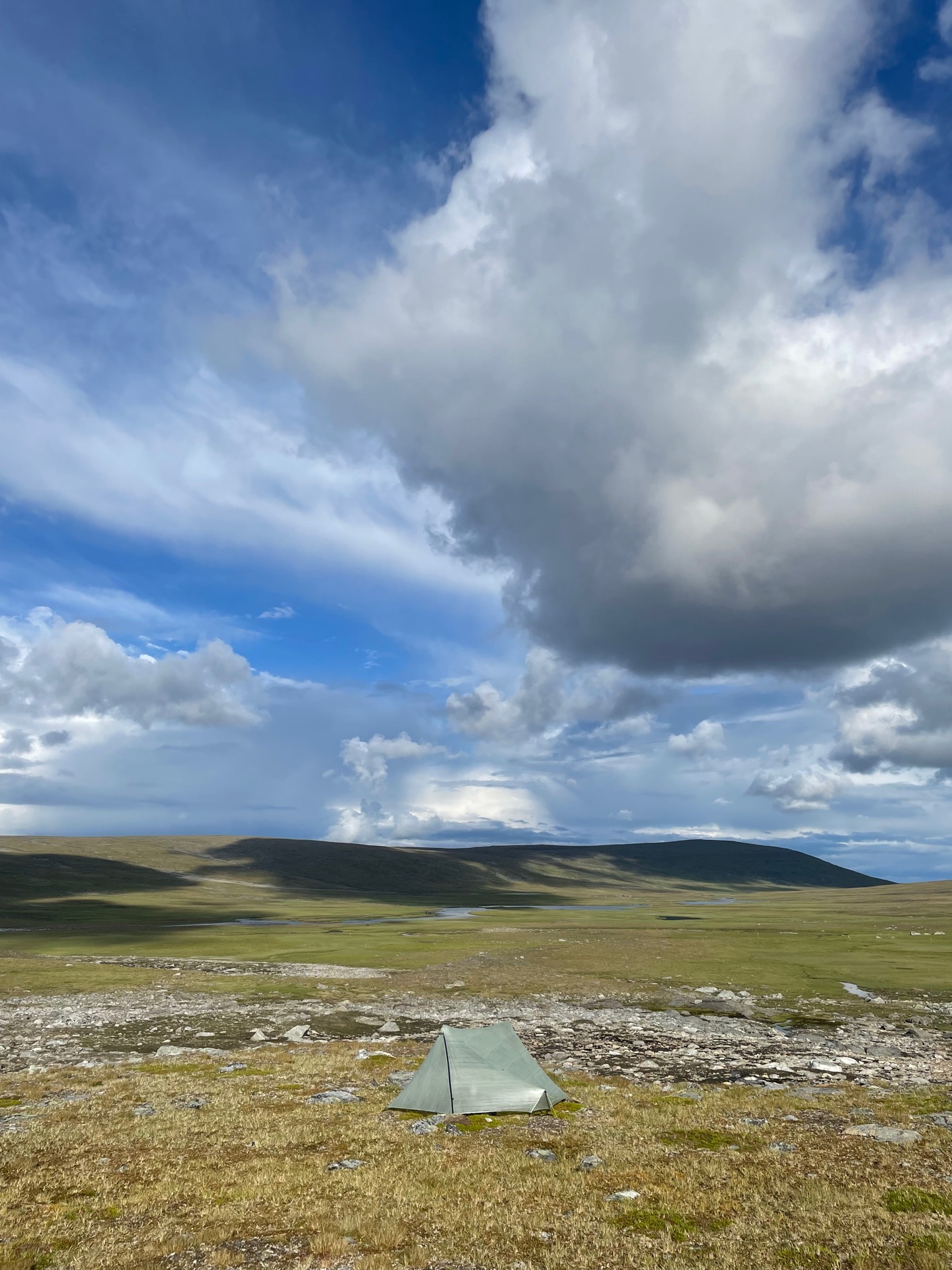
I was woken up just after six by the sun shining on my tent. I usually sleep longer, but nothing puts a pep in your step like good weather when you’re in the mountains. Especially when you’re spending most of the day off-trail and on tundra. I took aim on the unnamed valley east of the snow capped mountain Jållektjåhkka, and followed the eastern shores of a series of lakes. I was in the mood for a swim, but it was a bit too cold out and the sun too unreliable. Instead, I kept an eye out for fish, and spotted several small brown trouts in the clear streams and ponds.
My planned route was to follow the river down below the tree line on the other side of the valley, where a small trail would lead me to the overnight hut by the Laisälven river. I decided to cross the mountain Alddatjåhkka instead for a more direct route, thinking it would save me a few kilometers while giving me some nice views over the northern valley. I got the last part right. North of the mountain, I reconnected to the trail in the birch forest. Two bridges took me over Laisälven and to Laisstugan, where the most recent entry in the guest book was three weeks old. More people should come here – it’s a cosy cabin with beautiful surroundings. While I had lunch, it started to rain outside, and I stayed in the cabin for an extra hour hoping the rain would pass by.
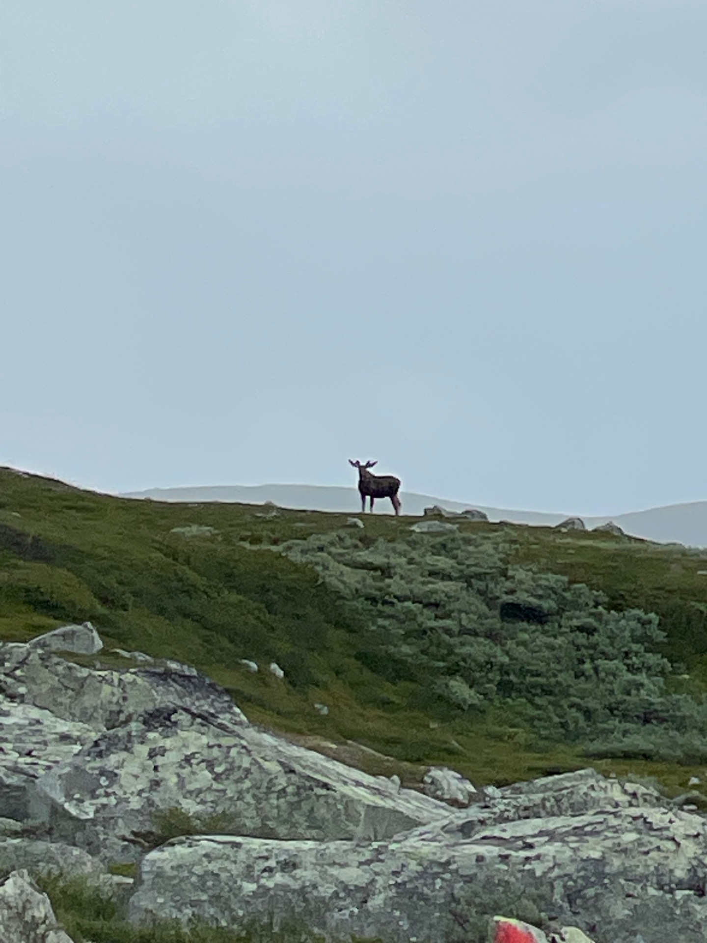
My patience was rewarded. I was grateful, because I had 500 meters of elevation gain in front of me and that’s sweaty enough without rain gear. A bit above the tree line, I spotted my third Green Ribbon moose. The handsome devil posed for a second before he took off. After another couple of kilometers, when the rain had caught up with me, I noticed something perched on top of a boulder. I started filming just as it took flight. I later found out it was a golden eagle, or kungsörn in Swedish – the apex predator of the skies in the Swedish mountains.
I put up my tent in the basin northwest of the mountain Gåbrek, close to the summer bridge. It’s been two beautiful days in the mountains. Tomorrow, I arrive in Vuoggatjålme.
Day 34
July 21 (30.2 km)

I went out like a light the previous night and slept until nine. It was clearly needed, but poorly timed. I needed to be in Vuoggatjålme before the store closed at five. As I packed my tent, a group of curious reindeer stopped by to watch.
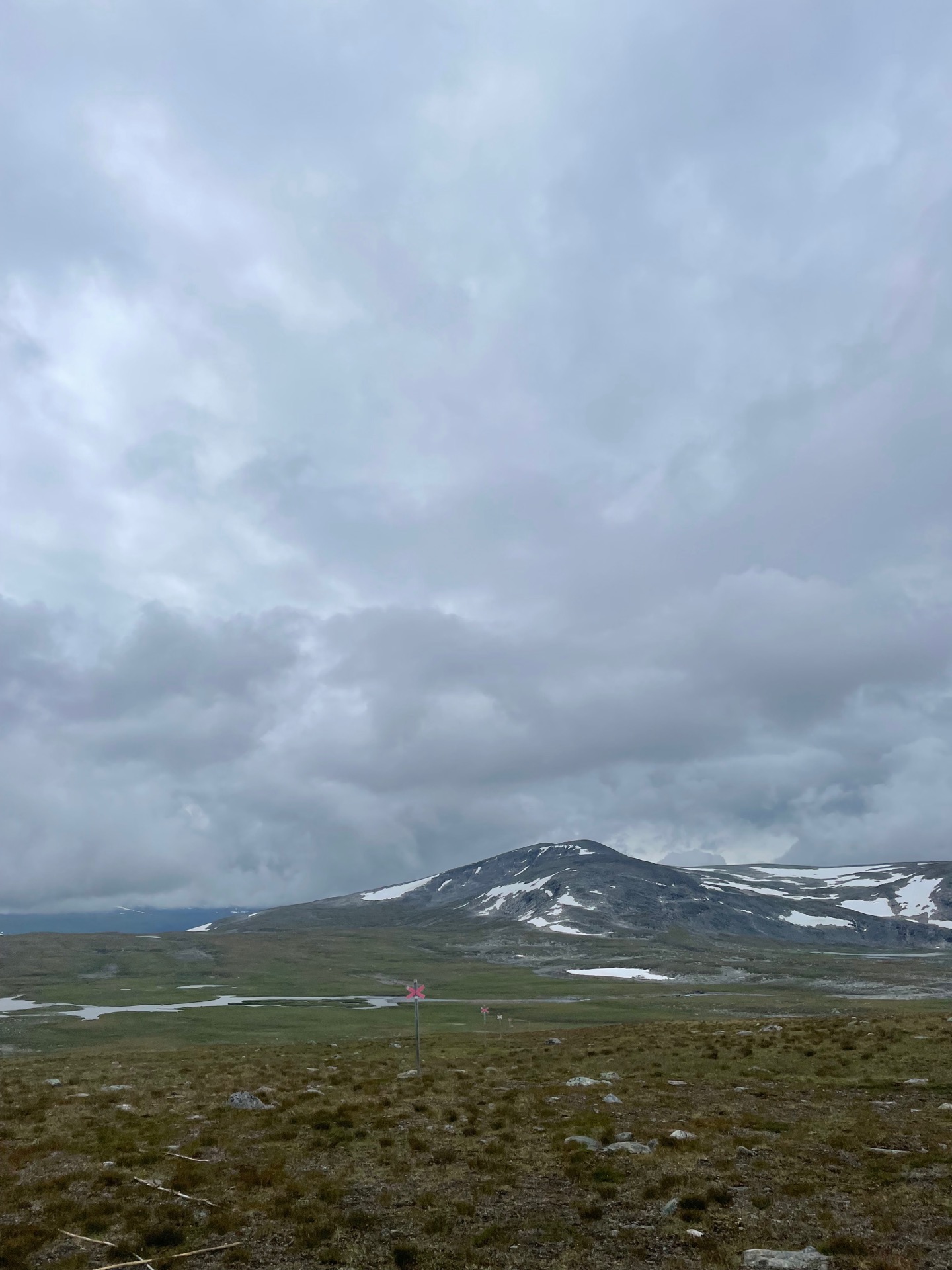
My day started with a climb up to the saddle between the peaks Ruonektjåhkkå and Gujkkultjårrå, made easier by the knowledge that the entire rest of the day would be downhill. I had cell reception, so I booked a cabin and a table at Vuoggatjålme. Then I started the 650 meter descent just as the rain started. In the bottom of the valley, I reached the Ruonekjåhkå break cabin. Since I was in a hurry, I made it a quick lunch: A protein bar, a double Snickers, and two cups of coffee. Vroom vroom.
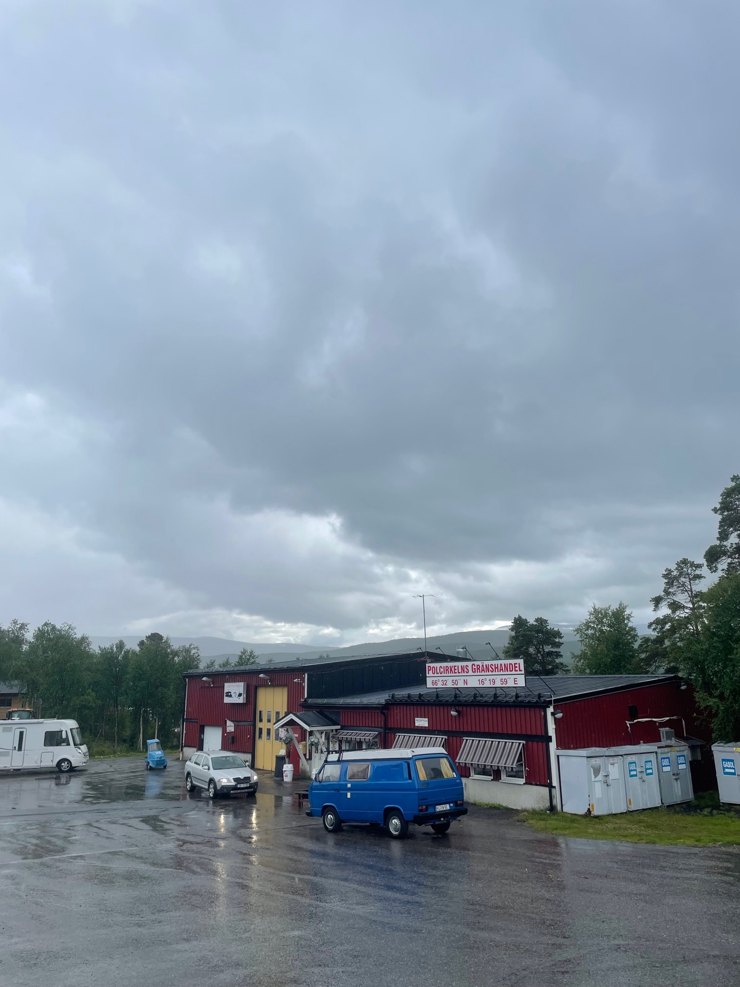
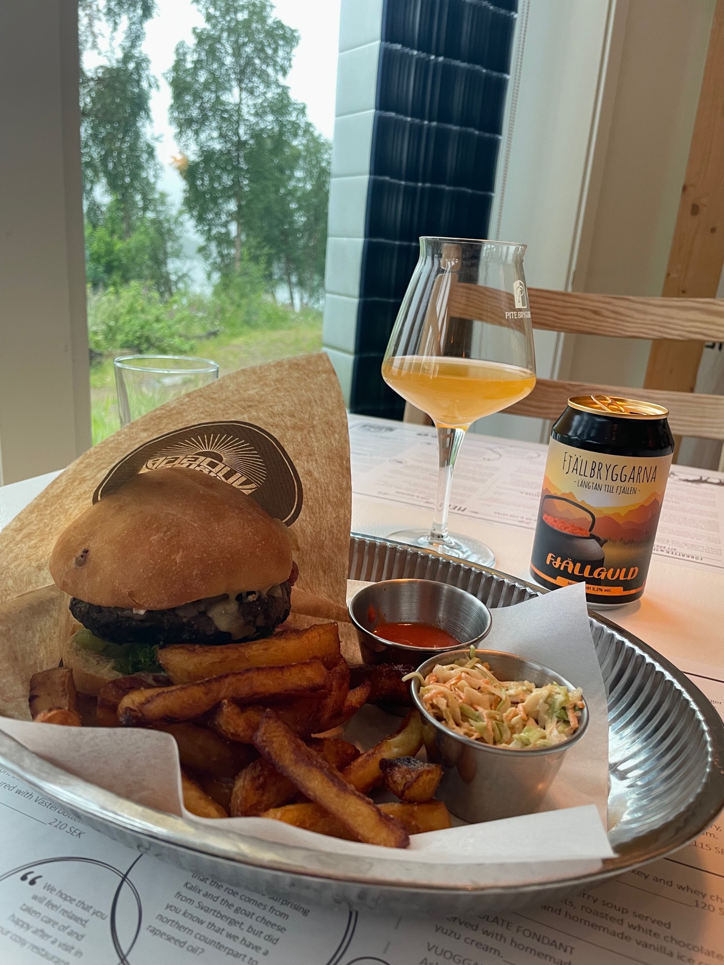
With that in my tummy, I made good time on the summer trail (with a couple of close calls on the wet wooden planks) as it followed the roaring Ruonekjåhkå river down to the lake Sädvvajavrre. The trail then followed the shore north until it reached the road Silvervägen, named after the silver transported from mines in Nasafjäll to the coast. These days, it mostly transports Norwegian motor homes. I followed it to Camp Polcirkeln to stock up on bars and snacks, and then headed to Vuoggatjålme where my cabin was waiting. Vuoggatjålme is known for having the lowest temperature on record in Sweden: -52.6 °C, measured on February 2, 1966. On the way to Vuoggatjålme, I entered the Arctic Circle. At some point during the day, I also walked my thousand kilometer on this hike. That deserves a burger and a beer in the restaurant. Maybe two beers.
Tomorrow, I head back into the radio shadow as I continue north towards Mavasjavrre, Sulitelma, Padjelanta and Ritsem. Very excited for this next section.
Day 35
July 22 (34.7 km)
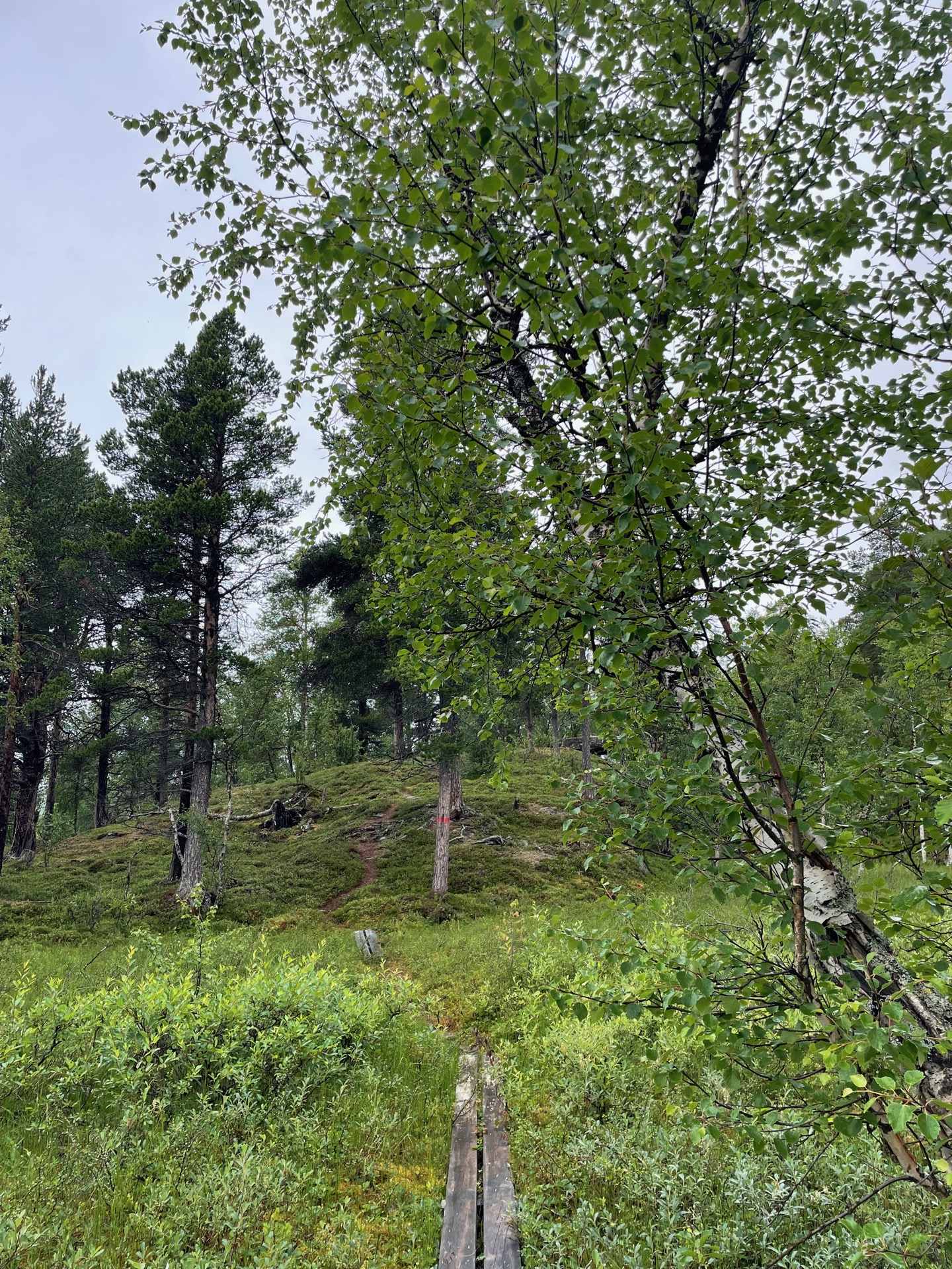
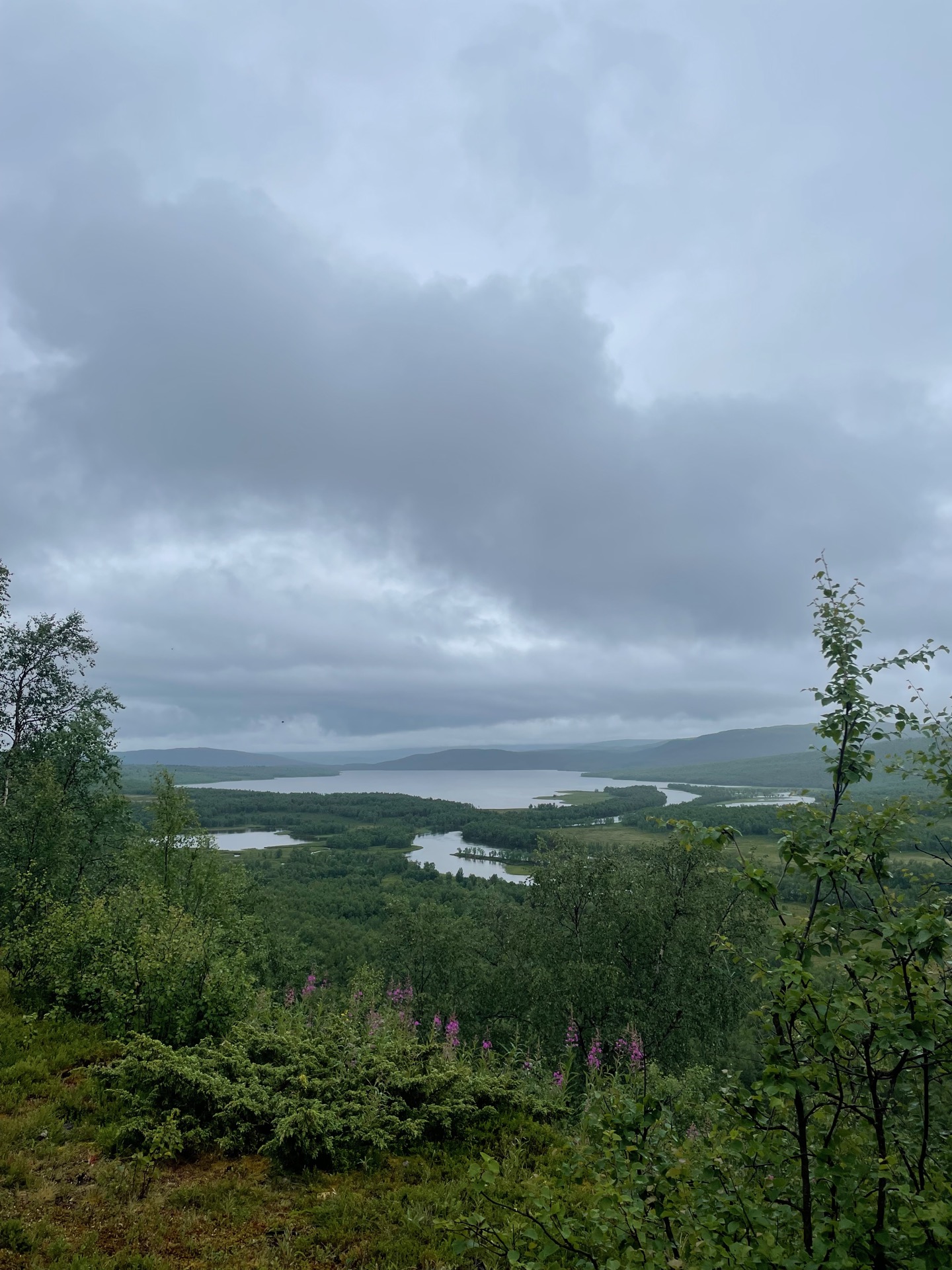
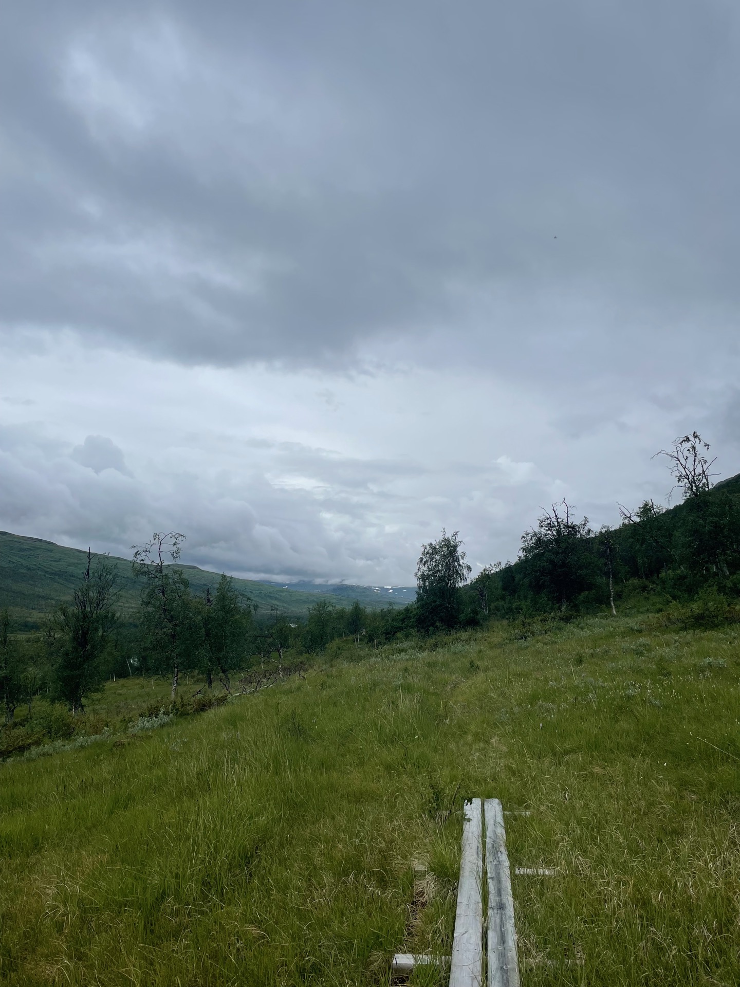

I felt clean, rested and excited as I handed in the keys to my cabin at Vuoggatjålme. I would need those good vibes later in the day. My goal was to make it above the tree line at the other end of the long Seldutvagge valley, or at least to the Jurun break cabin, which was 29 km away according to the signs. Lush forested mountain valleys are best experienced from a distance, in my experience, but I figured Seldutvagge might be the valley to change my mind. Even though Jörgen Johansson describes the trail (not the surroundings) as “lousy” in his book.
Seldutvagge did not change my mind. The trail started out clearly marked and easy to follow, going through easy birch forest and up pine covered hills with views over surrounding bogs with potential for wildlife sightings. An abandoned homestead slowly returning to nature made me stop and imagine how isolated life must have been here, long before Norwegian camper vans could drive to Vuoggatjålme on Silvervägen. But as I followed the trail up into the valley, it started to disappear. The markings were still there, looking no older than a year or two, but there was often no clear path to follow from marking to marking in the uneven terrain covered with tall grass. My progress was slow and arduous, and it seemed telling that I saw a lot more moose and bear prints than human footprints. I don’t think this trail gets used much.
By the time I reached the Jurun break cabin, I was thoroughly wiped and quickly decided to put up my tent right next to the cabin. It’s been a very trying day in Seldutvagge. It’s crossed my mind more than once that I could be on the wide and well-tread King’s Trail somewhere south of Kvikkjokk right now instead. But with my day of toil in the valley behind me, I have the good stuff to look forward to. Five days of glorious mountain hiking in and around Sulitelma and Padjelanta. There’s still good vibes left.
Day 36
July 23 (35.5 km)
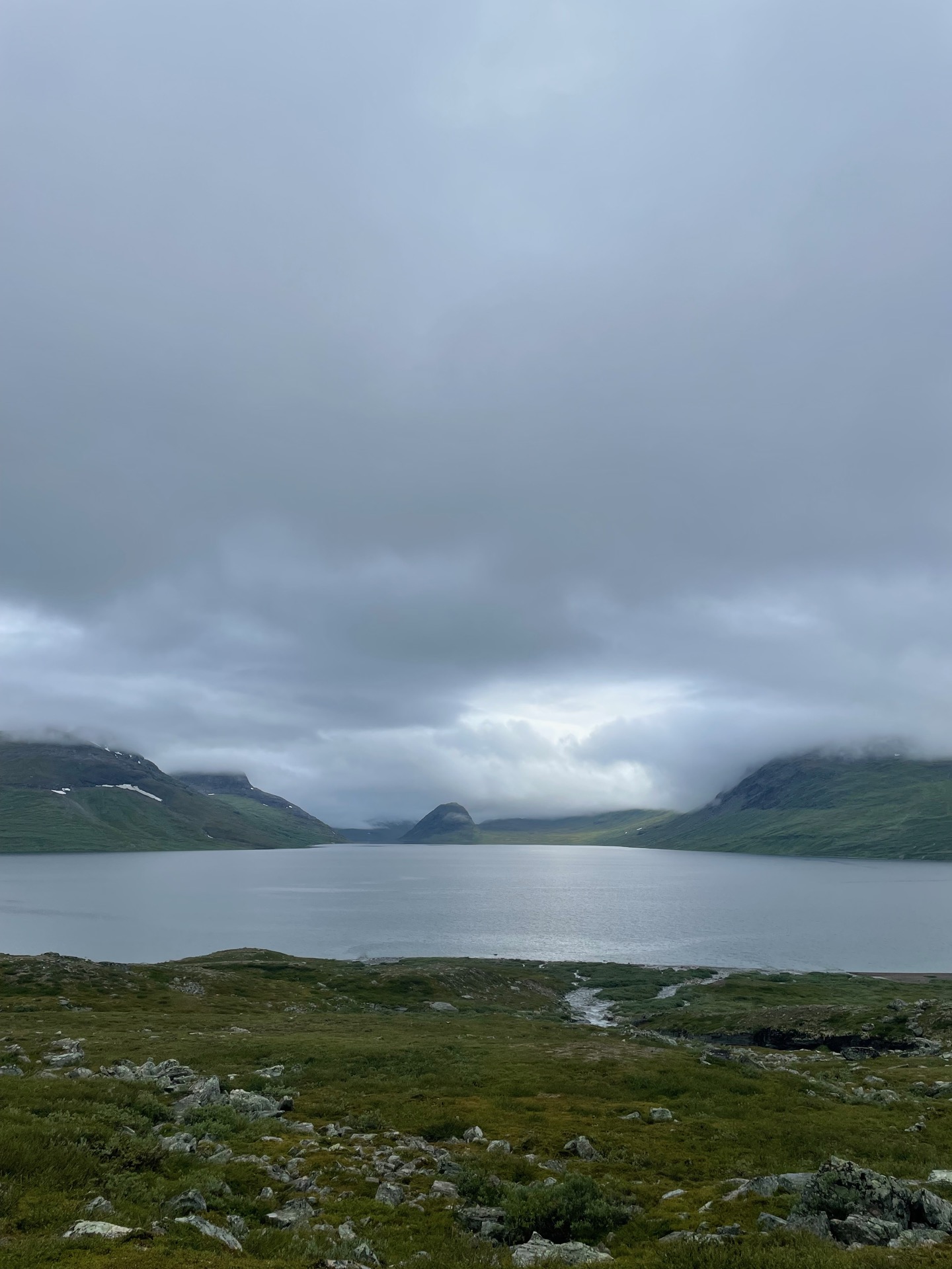
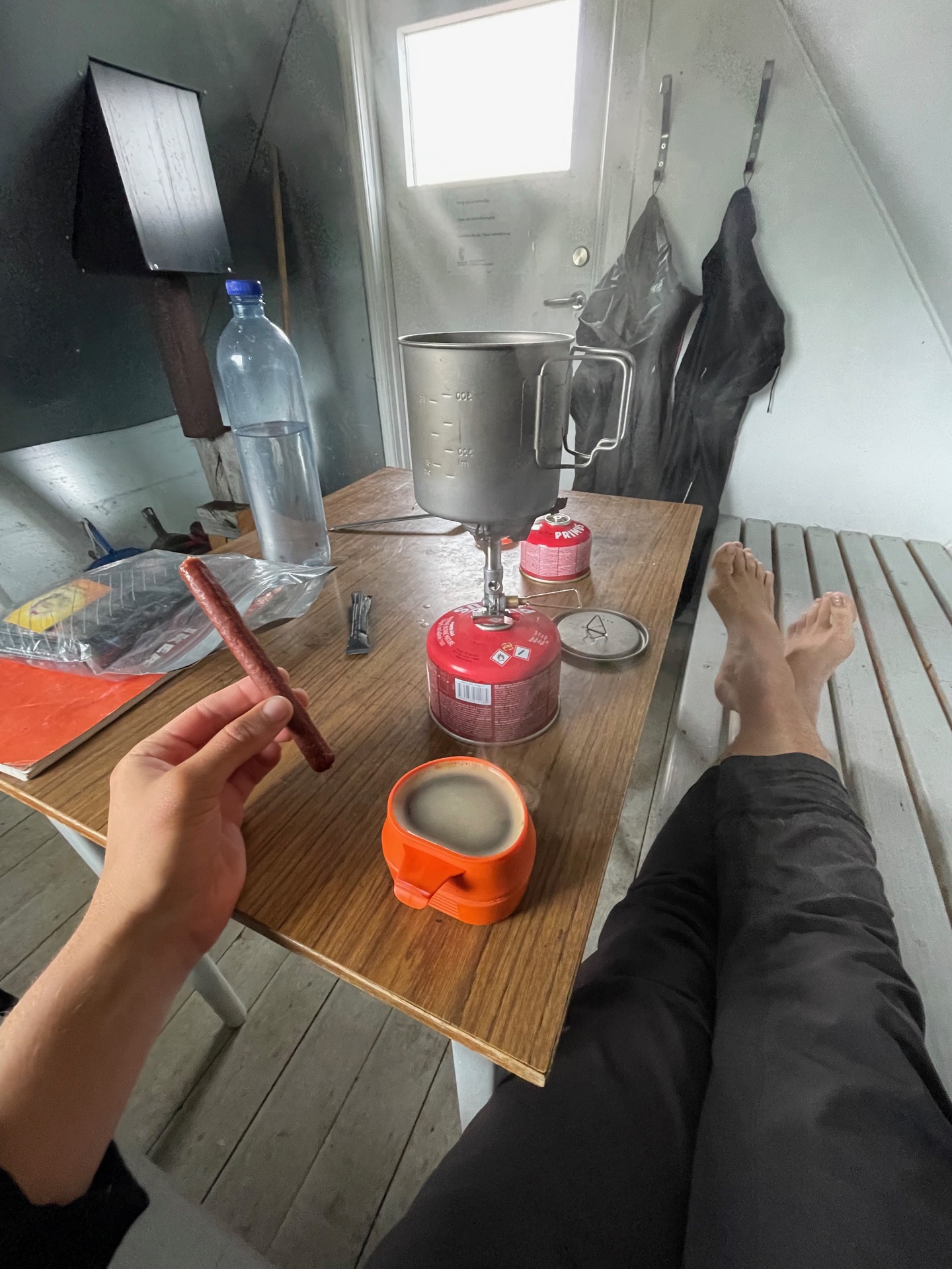
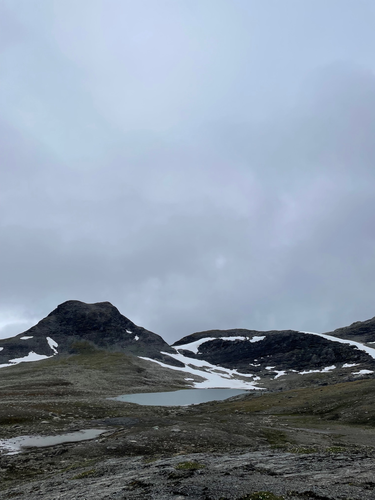
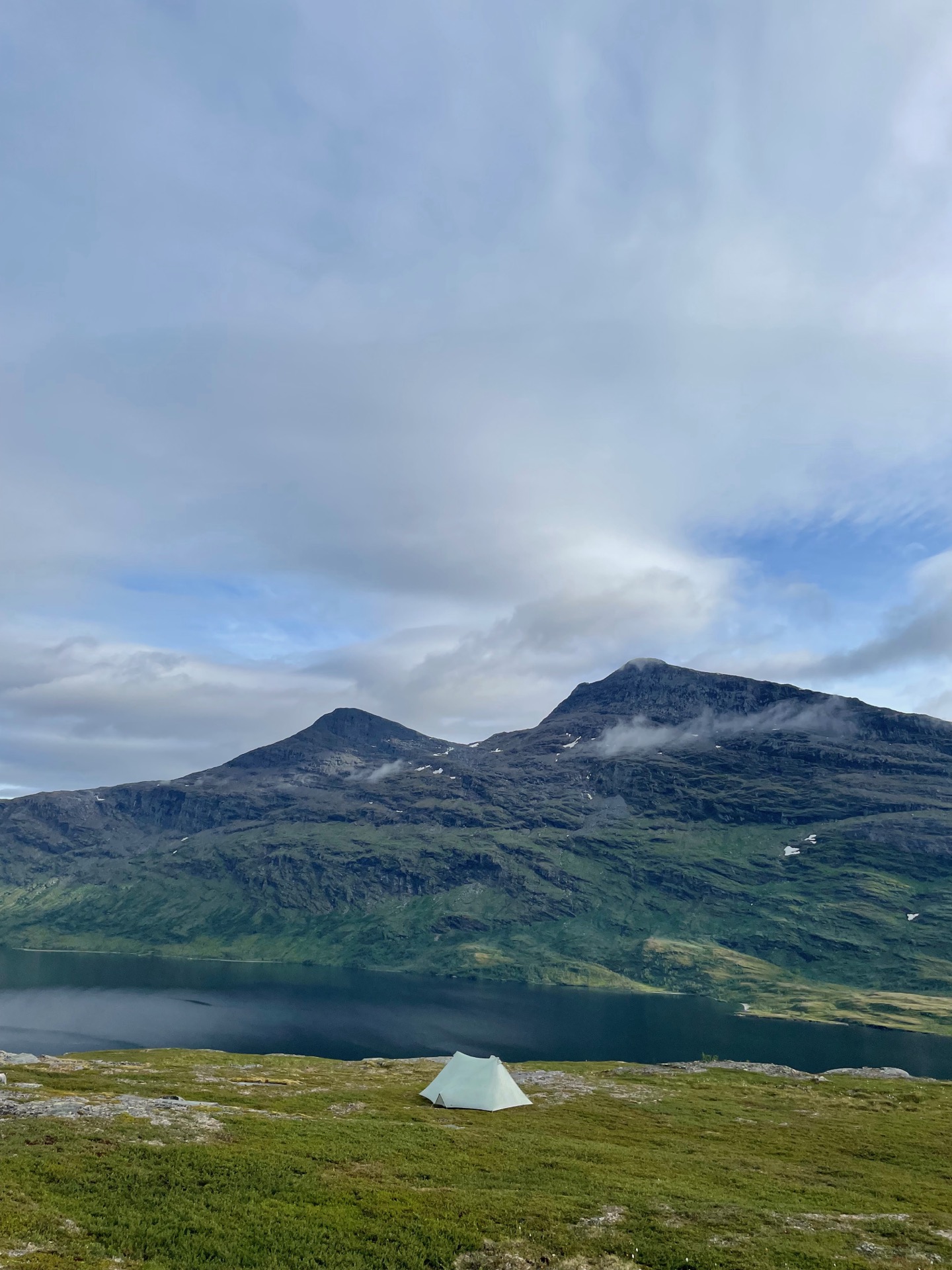
When I woke up, a thick layer of fog had come down like a lid over the fjäll. As I continued north, the trail climbed up into the fog and I didn’t notice lake Ikkesjavrre until I stood right in front of it. The fog cleared up as I followed the shore, and the view of the mountains to the northwest was stunning. I was riding a hikers high when I entered the Ikesjaure break cabin for coffee and lunch.
To the northeast, the summer trail is blocked by Ikkesjavres larger neighbor: Mavasjavrre. There used to be a ferry service to take hikers across the lake, but as of last year, you have to hike off-trail up the mountain massif north of Ikkesjavrre and round the western shore of Mavasjavrre before you reconnect to the summer trail north of the Sami summer camp Mavas. It’s a 500 meter climb from the cabin and a pretty steep descent on the other side. I made it a long lunch.
The climb up was easier than expected. Gentle incline, easy terrain: fairly dry grass most of the way, then rock and snow fields near the top. South of the peak Årjep Savllo, I had a stunning (albeit still a bit misty) view of Ikkesjavrre 500 meter below. The descent west of Mavajavrre was steep, but manageable. I wouldn’t want to do it in bad weather. Also, the views over Mavasjavvre and Gaskajavrre were distracting to the point of being downright unsafe. And the waterfalls! Too many to photograph. (Just kidding. I photographed them all.)
The descent brought me to the little valley squeezed in between Mavasjavrre and the Norwegian border, and it was beautiful as well. Varied topography with a mix of tundra and birch forest, a lovely serpent river ending in a sandy beach by the lake, and lots of moose and bear tracks. It felt like a little planned fjäll park. Plus: my first ripe cloudberries of the hike!
I put up my tent on a cliff overlooking the twin peaks of Årjep Savllo and Sjarak to the south, and Mavasjavrre to the east. Definitely the best detour of the hike.
Day 37
July 24 (37.5 km)
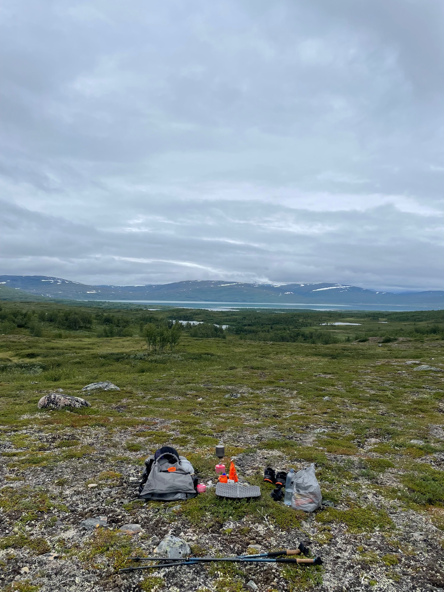
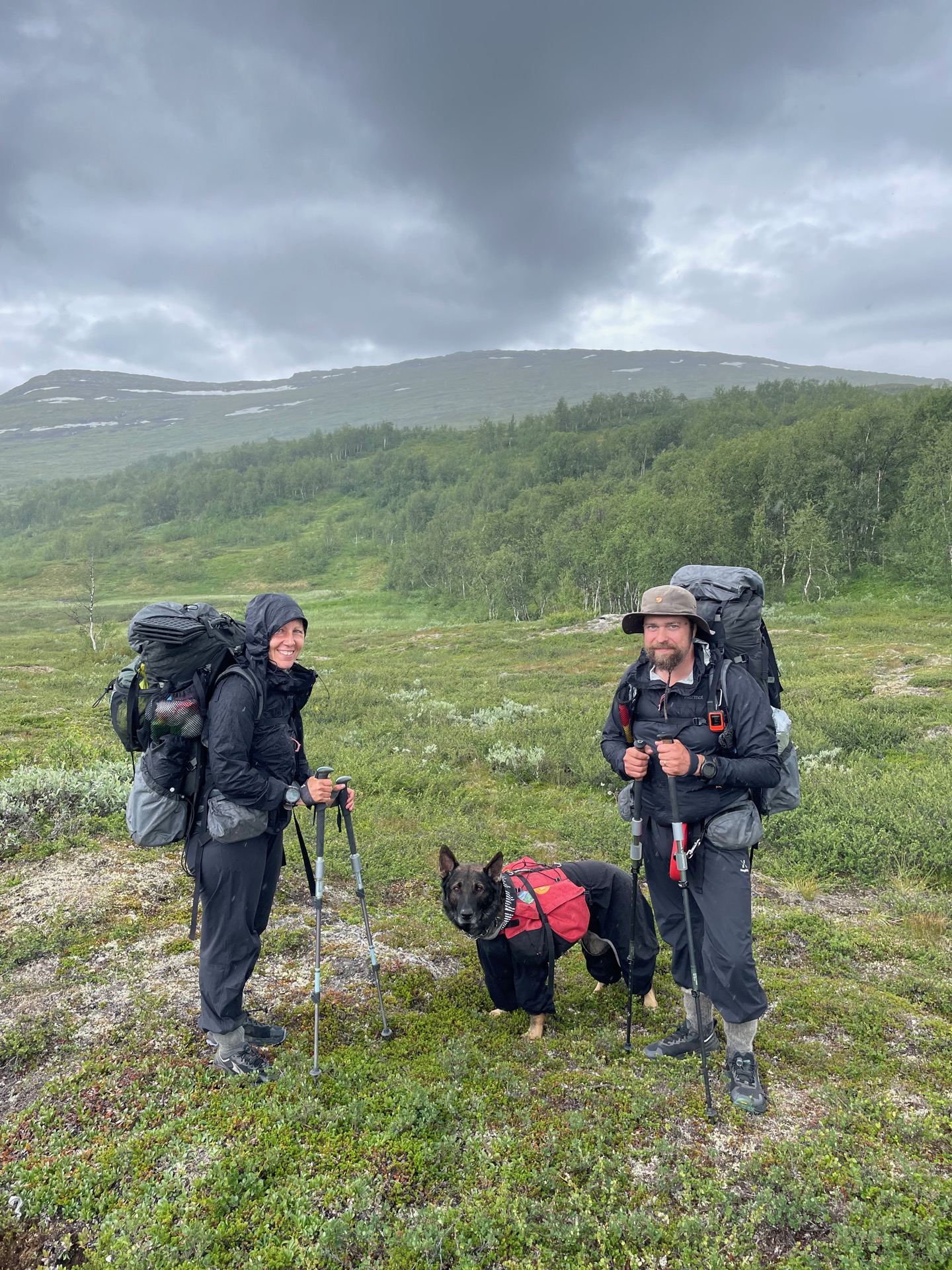
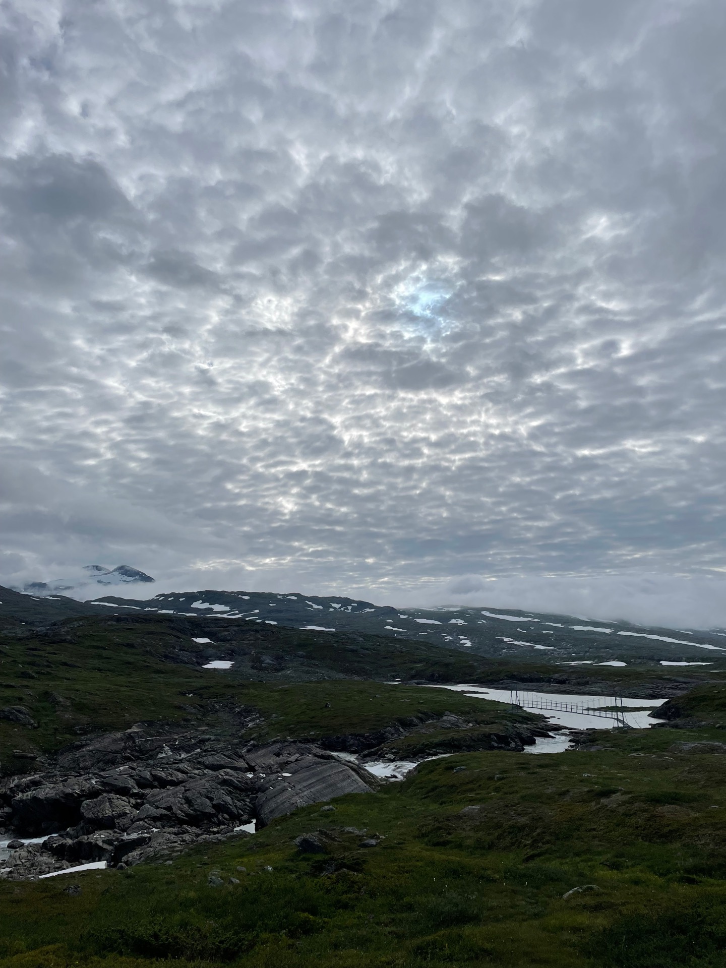
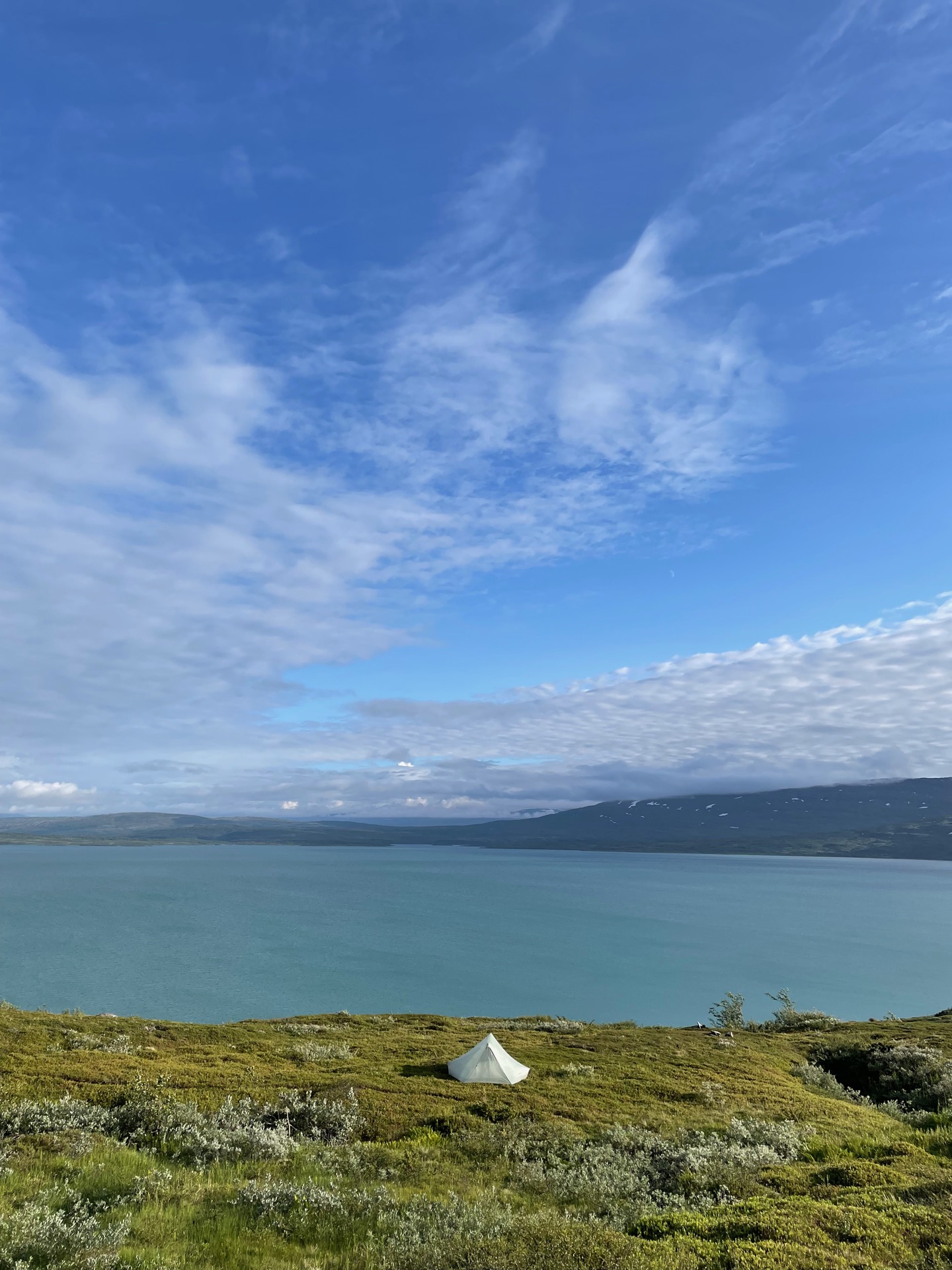
There were low-hanging clouds but no rain as I continued my off-trail hike around Mavasjavrre. My route following Kassavartokåtan and Ballekkåtan took me through bogs, birch and a little bit of tundra, and was mostly noteworthy for the amount of bear droppings recent to the point of steaming and having bugs swarming around them. It was a relief to get back to the summer trail by the lake Bierre.
After a few more kilometers, I had lunch while admiring my first glimpse of the lake Bieskehavrre. It’s larger than both Ikkesjavrre and Mavasjavrre put together, and I would spend the afternoon and a little bit of the next day hiking around it to the west. Just before the trail started to climb above the tree line, I met other people for the first time in three days. It turned out to be @atlas_aventyr, who are also hiking the Green Ribbon! They would follow the same route as me from the STF Pieskehaure cabin to Vuoggatjålme, so we had plenty to talk about before we got on our separate ways.
One of the things that came up was the state of the trail from Mavasjavrre to Bieskehavrre, which is poor. The trail was largely overgrown in the forest, and some of the trail markings almost seemed purposefully hidden. All that was forgiven once the trail started to climb west of Bieskehavrre. Just like the previous day, the sky cleared in the afternoon. Virihavrre in Padjelanta is often called the most beautiful lake in Sweden. If so, Bieskehavrre is a strong contender for second place. Both of them have a pale green color that almost make them look tropical.
The terrain is steep north of Bieskehavrre and the wind was coming in pretty strong, so it took some time to find a good tent spot. I’ll need the ear plugs I picked up in Gäddede tonight, but there’s no complaining about the view.
Day 38
July 25 (31.6 km)


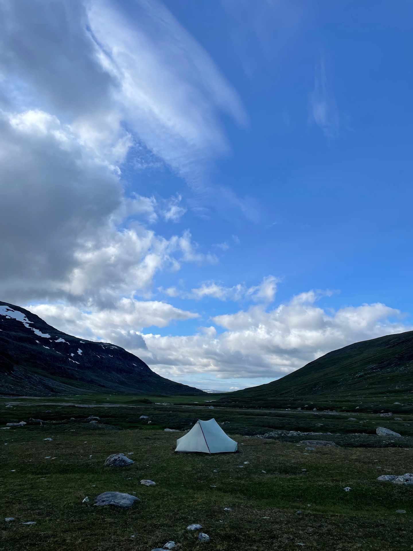
Sun! For the first time since Vindelkroken, I got to start the day in sunshine. The weather had perfect timing. When I arrived at the STF Pieskehaure cabins at nine, I had clear views to the 1 877 m mountain Sulitelma and its glaciers. Before the bearded men with instruments made it to Sarek and later Kebnekaise, Sulitelma was believed to be the tallest mountain in Sweden. It does have Swedens largest glacier: Stuorrajiegna. I picked up a cabin patch and snacks from the store, and sat outside admiring the view to coffee and cookies.
Clouds had moved in by the time I continued towards the STF Staddajåhkå cabin, but I was still in the mood for a swim, and definitely in need of one. I decided to brave the waters of Varvvekjavrre. Once I had started to undress, the mosquitoes were very helpful in motivating me to get in. It’s a special feeling to swim within sight of glaciers. You start to suspect you might be an idiot.
The rest of the day offered easy and pretty hiking over gently rolling hills surrounded by small lakes and creeks, with more and more snow capped mountains revealing themselves as I got closer to Staddajåhkå. I put up my tent in the southern opening of the valley Gajlavagge, just after I had entered Padjelanta national park. By then, the clouds had moved on and the blue sky showed itself again. It’s been a very good day in the mountains.
Day 39
July 26 (30.3 km)
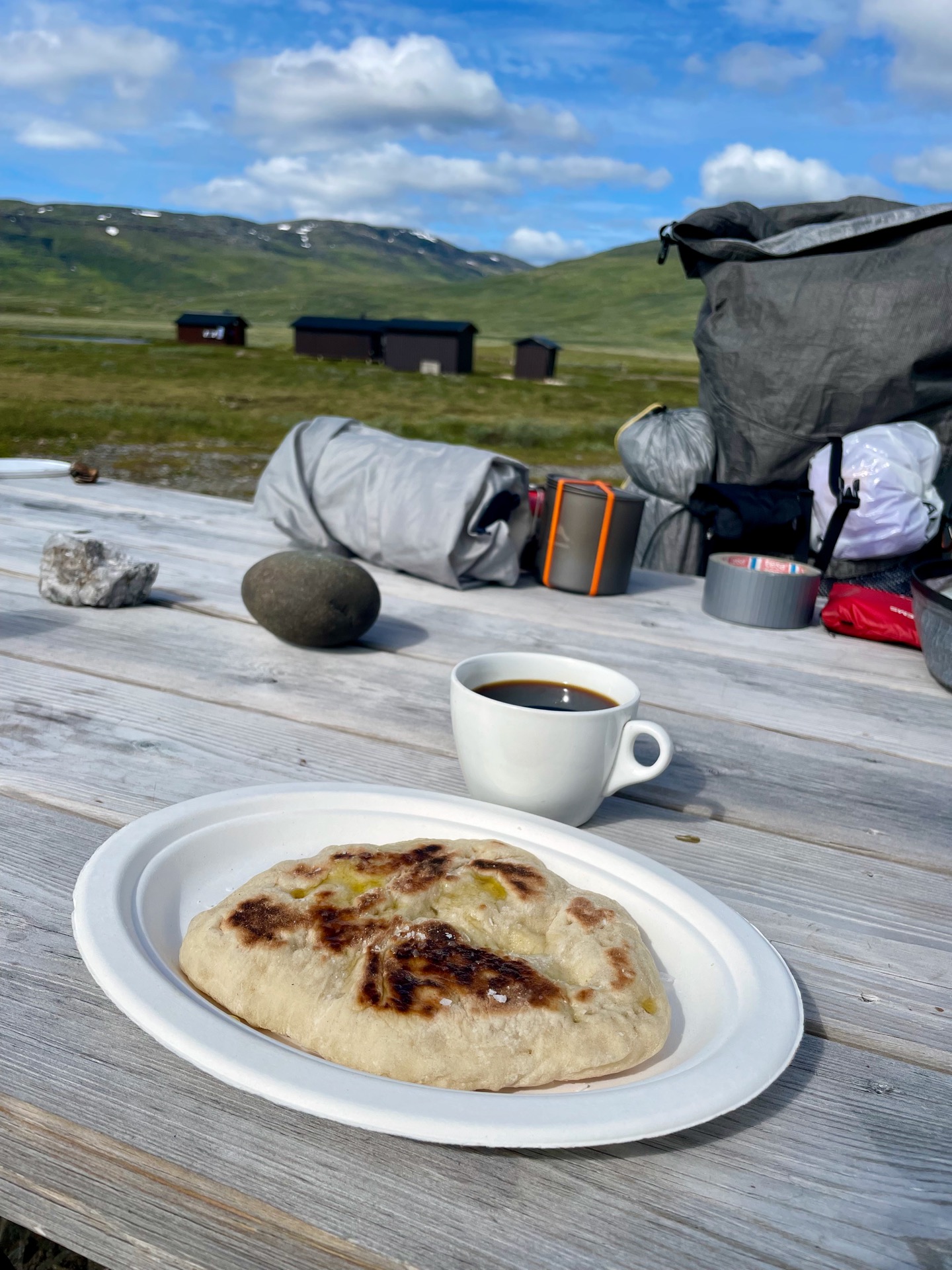
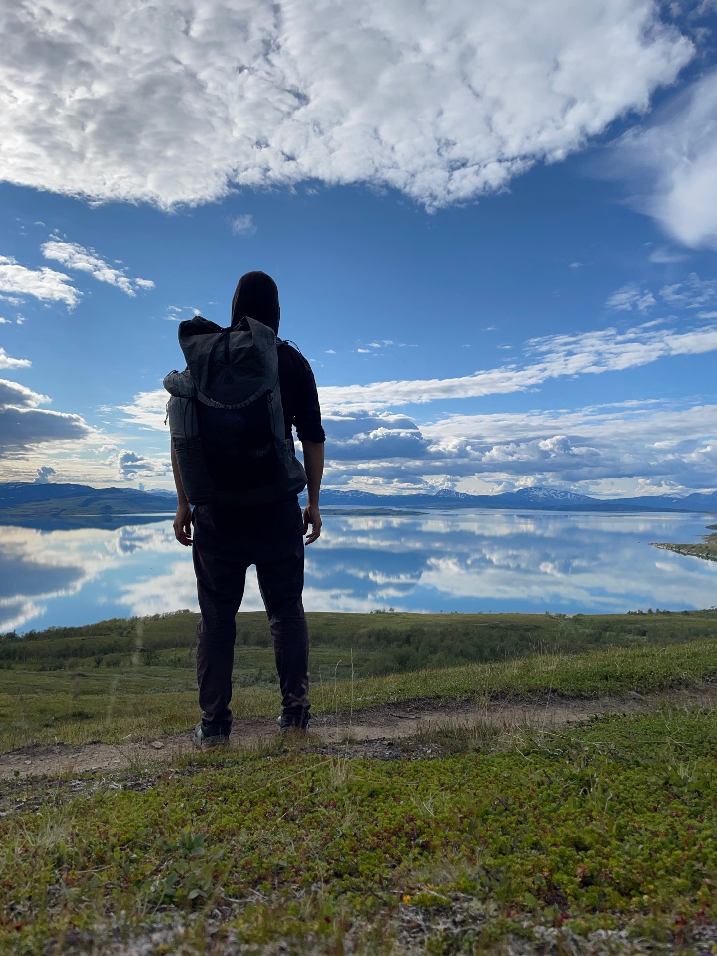
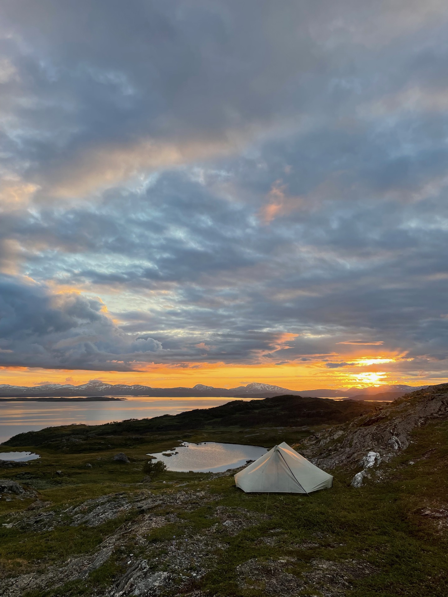
It didn’t rain tonight. I know this for sure, because when I woke up, I discovered that I had left my shoes outside the tent during the night, and they were completely dry. After I had packed up, I followed the Staddajåhkå river north to the cabin with the same name, where my good luck continued. I thought it likely that the cabin host would be out on a day hike given the nice weather, but she had washing day, so the shop was open – and had newly baked bread for sale. Add coffee, a can of Norrlands Guld (beer) and good conversation, and you get my best lunch in days.
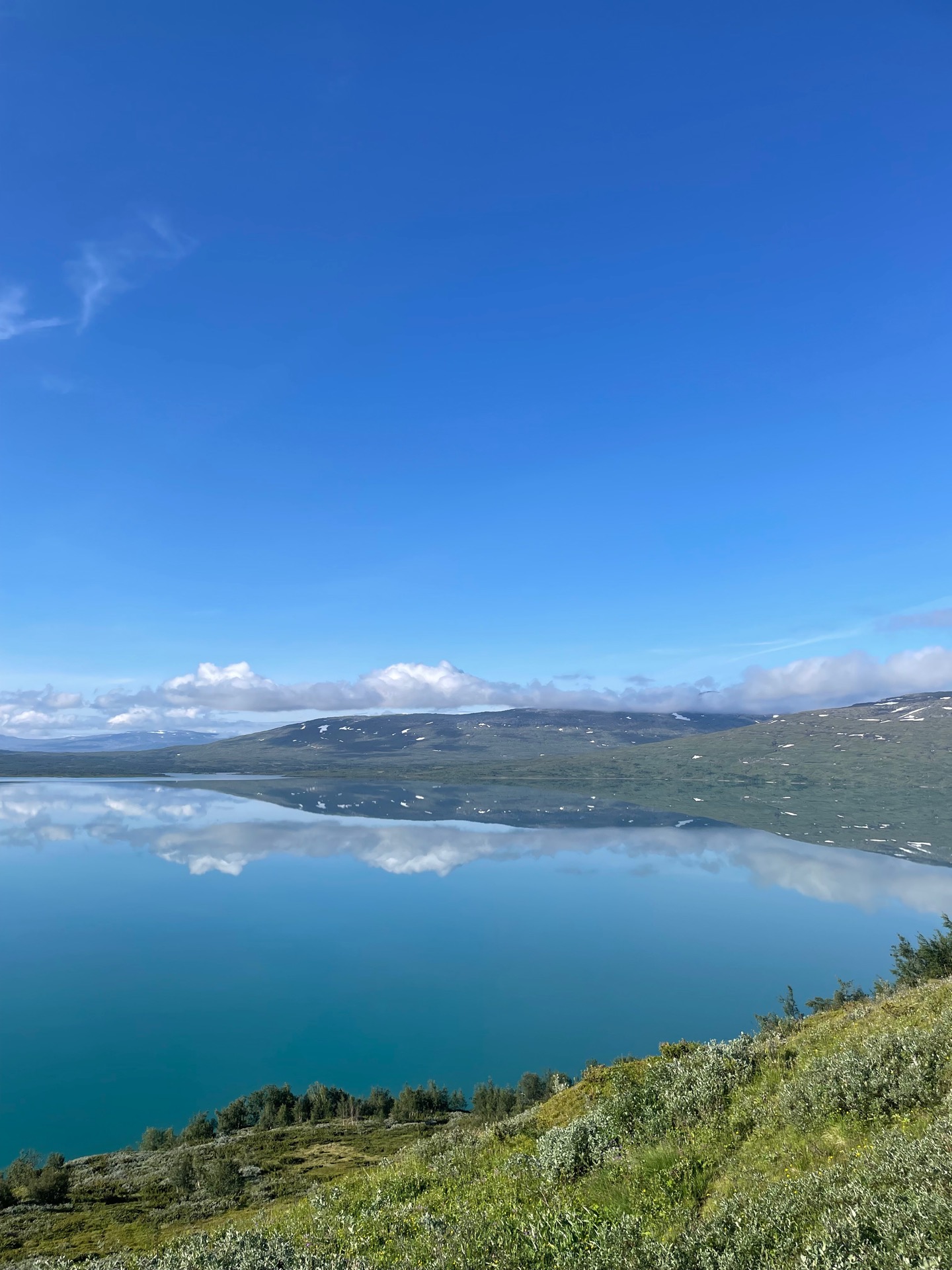
After that, the 12 kilometers to Staloluokta went by so fast it felt like I teleported there. The Sami camp sits on the southern shore of the massive lake Virihavrre. When I reached the point where my route joins the Padjelanta trail, I could see that the surface of the lake was almost completely still. Virihavrre looked like a giant mirror, reflecting both the cloud spotted sky and the snowy mountains on the far shore, 20 to 30 kilometers away. I stopped for a coffee outside the overnight cabin, where the scale told me that my backpack was down to 10 kilos. I had gobbled up 4 kilos from my food bag since Hemavan. That encouraged me to add some luxuries to my shopping list before I stopped by Parfas kiosk to resupply. In addition to bars and snacks, I bought another can of Norrlands Guld for dinner and some dried reindeer meat. 1 200 kilometers later, the folding knife I’ve carried since Grövelsjön will finally be used as intended.
A few kilometers after I climbed the plateau between Staloluokta and Arasluokta, I left the trail and found a flat spot with a stunning view over Virihavrre, 100 meters below. Mosquitoes make for awful dinner company, and they were out in force due to the complete lack of wind. But with weather and views like this, who can resist a dinner on the town?
Day 40
July 27 (35.5 km)
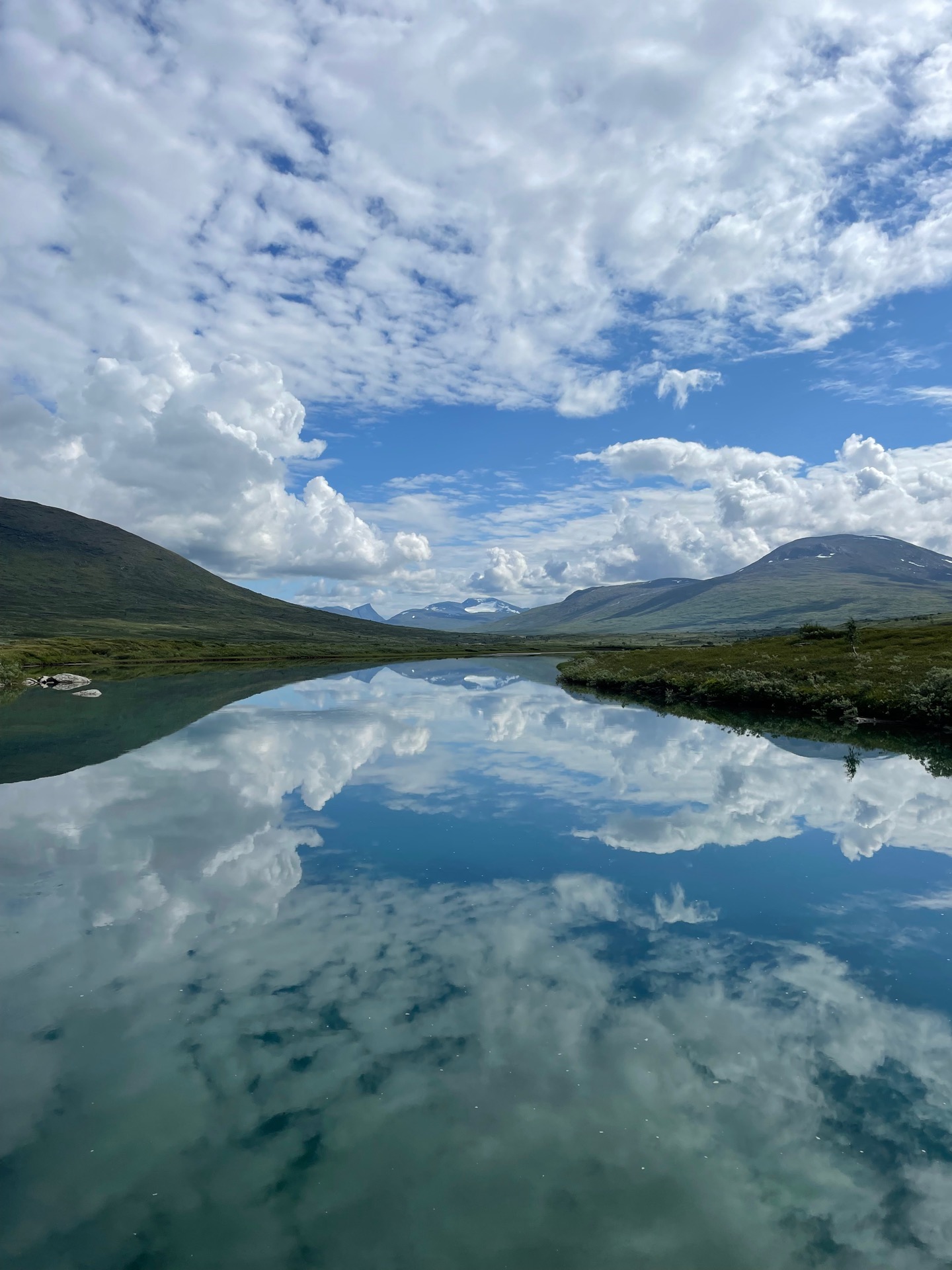
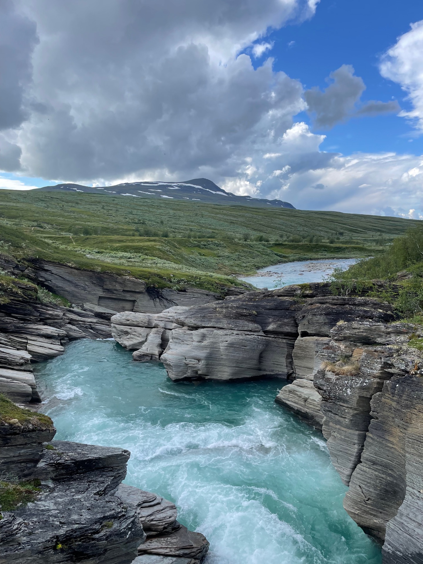


It was another day of blue sky and still winds in Padjelanta national park. The views over Virihavrre were just as impressive as I continued towards Arasluokta, another Sami camp with overnight cabins. The cabin host in Staddajåhkå said she doesn’t understand how people stand the mosquitoes there. I held out long enough for a cup of coffee, a bar and some dried reindeer meat. Maybe I should’ve bought more than 150 grams.
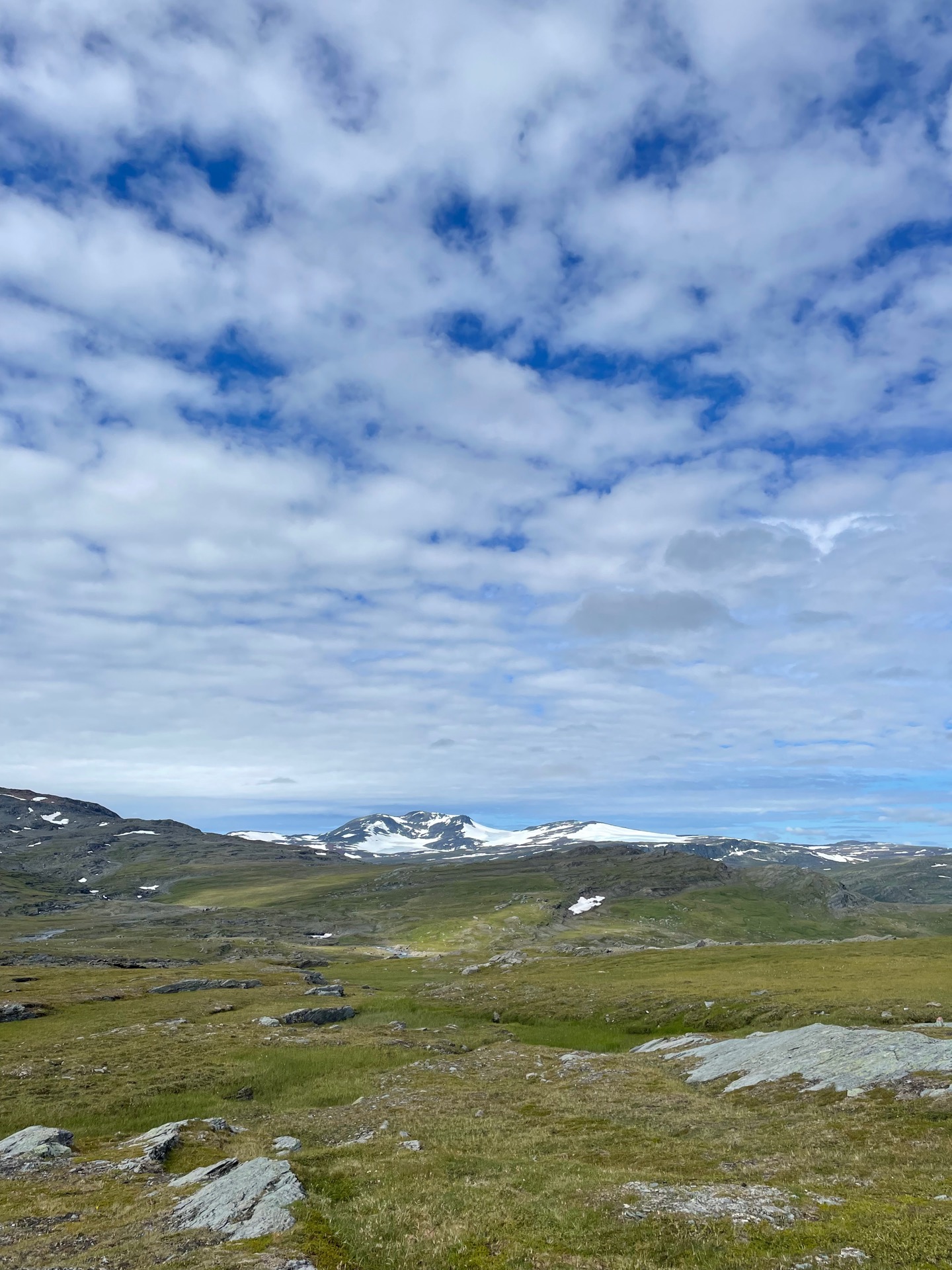
From Arasluokta, the trail climbs to the western shoulder of the mountain Aras, where I met nine hikers in less than ten minutes. That’s more than I met in four days from Vuoggatjålme to Staddajåhkå. Next, it descends to the bridge over Miellädno, and then climbs 300 meters to the Pårka pass. The climb was tougher than I remembered, and at the top, I caught my breath to views of the peaks in Sarek national park on my right. After I had hiked down from the pass, I stopped at the Låddetjåhkå cabins for lunch. My timing was fortunate. Soon after I arrived, a dark cloud rolled in, there was the sound of thunder, and it started to rain. The first rain in four days, and I could wait it out beneath the roof of one of the huts. The sound almost put me to sleep.
Before I left Låddetjåhkå, I thanked the cabin host for helping me and Rebecka with route planning when we hiked the Padjelanta trail last year. On her recommendation, we followed the old route from Låddetjåhkå to Gisuris, which has a beautiful view over the mountain Akka. This time, I took the new official route, which is a bit longer and has a view over the lakes Vasstenjavrre and Saluhavrre. Not as beautiful as the view from the old route, but it’s always fun to see something new.
I put up my tent on one of the distinct sand ridges that the Padjelanta trail follows to the Gisuris cabins. From it, I can hear the rushing of the mighty river Voujatädno a few hundred meters away. Tomorrow afternoon, I’ll cross the bridge over Voujatädno on my way to the STF Akka cabin, from where I’ll take the boat to Ritsem. I’m going to shower so hard.
Day 41
July 28 (27.6 km)
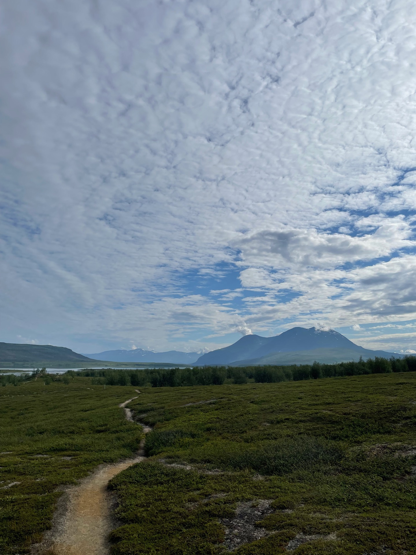
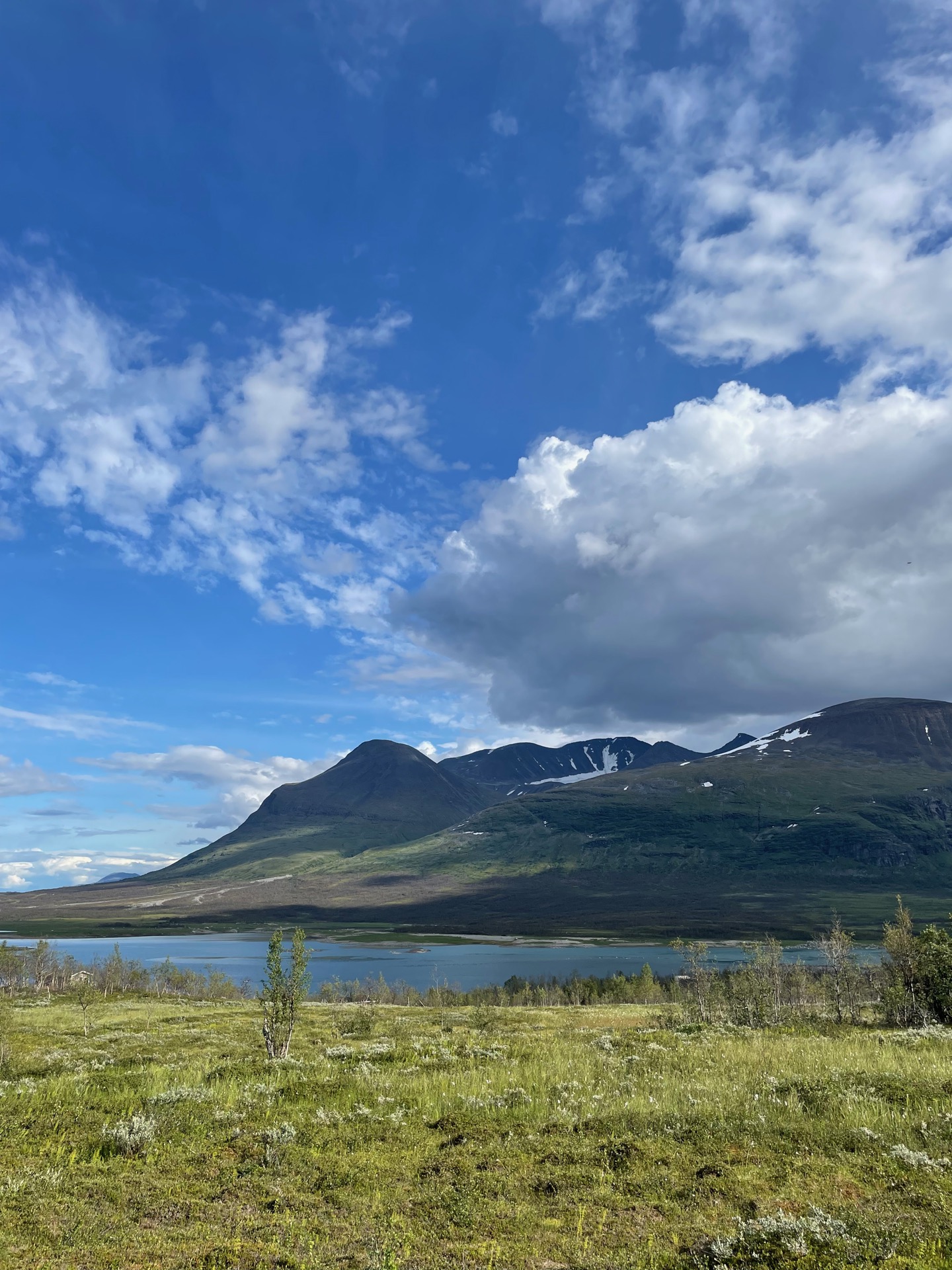

When me and Rebecka hiked the Padjelanta trail last year, it rained pretty much continuously for seven out of nine days. Today was my fifth day with perfect hiking weather, and I got to spend three of those five days in Padjelanta national park. I have been absolutely spoiled by the weather on my Green Ribbon so far. I hope that luck holds when Rebecka joins me in Abisko next week. Fingers crossed.
I got going around eight and arrived at the Gisuris cabins at eleven, right between the departures and arrivals of the day. The place was pleasantly quiet. I would take the evening boat from Akka to Ritsem and only had about 15 kilometers to go, so I took a long break in the sun. When I continued, the trail took me to Treparksmötet – the point where the borders of national parks Padjelanta, Sarek, and Stora Sjöfallet meet. After a few more kilometers, I had reception again for the first time in seven days. Rebecka called me literally within ten seconds of me turning off airplane mode. Her spider sense is uncanny.
After we spoke, I booked a bed at the mountain station in Ritsem and hiked the final kilometers to the STF Akka cabins, right below the mountain that they’re named after. I had a few hours to kill until I had to leave to Änonjalmme for the boat, but lounging around and making the time go by comes pretty easy on a long hike. 50 minutes before the boat, Cafe Eno in Änonjalme opened – a charming little place with coffee, gahkku (Sami flatbread/glödkaka) and dried fish. Due to my late lunch, I opted for coffee (not freeze dried) and cake (not out of a plastic wrapper). It’s the little things.
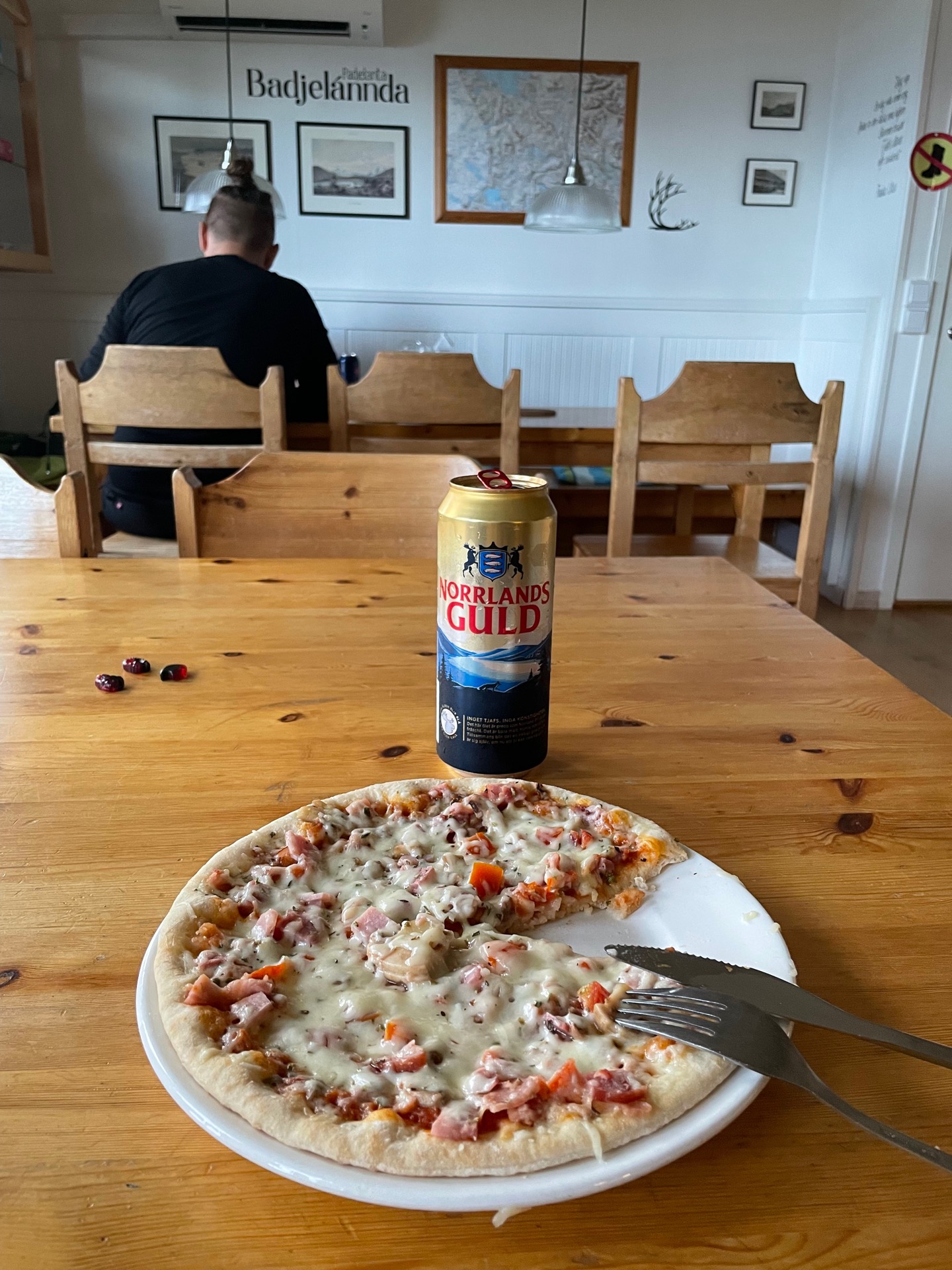
The 11 kilometer boat ride to Ritsem was the first time I used another mode of transport than my own two legs, which is a strange thought. After a shower, microwave pizza with beer and some resupplies, I feel ready to continue north to the beautiful mountains around Kebnekaise. Given that the rain finally showed up, after my five days of unreal weather, I won’t mind spending a night indoors either.
Day 42
July 29 (33.7 km)
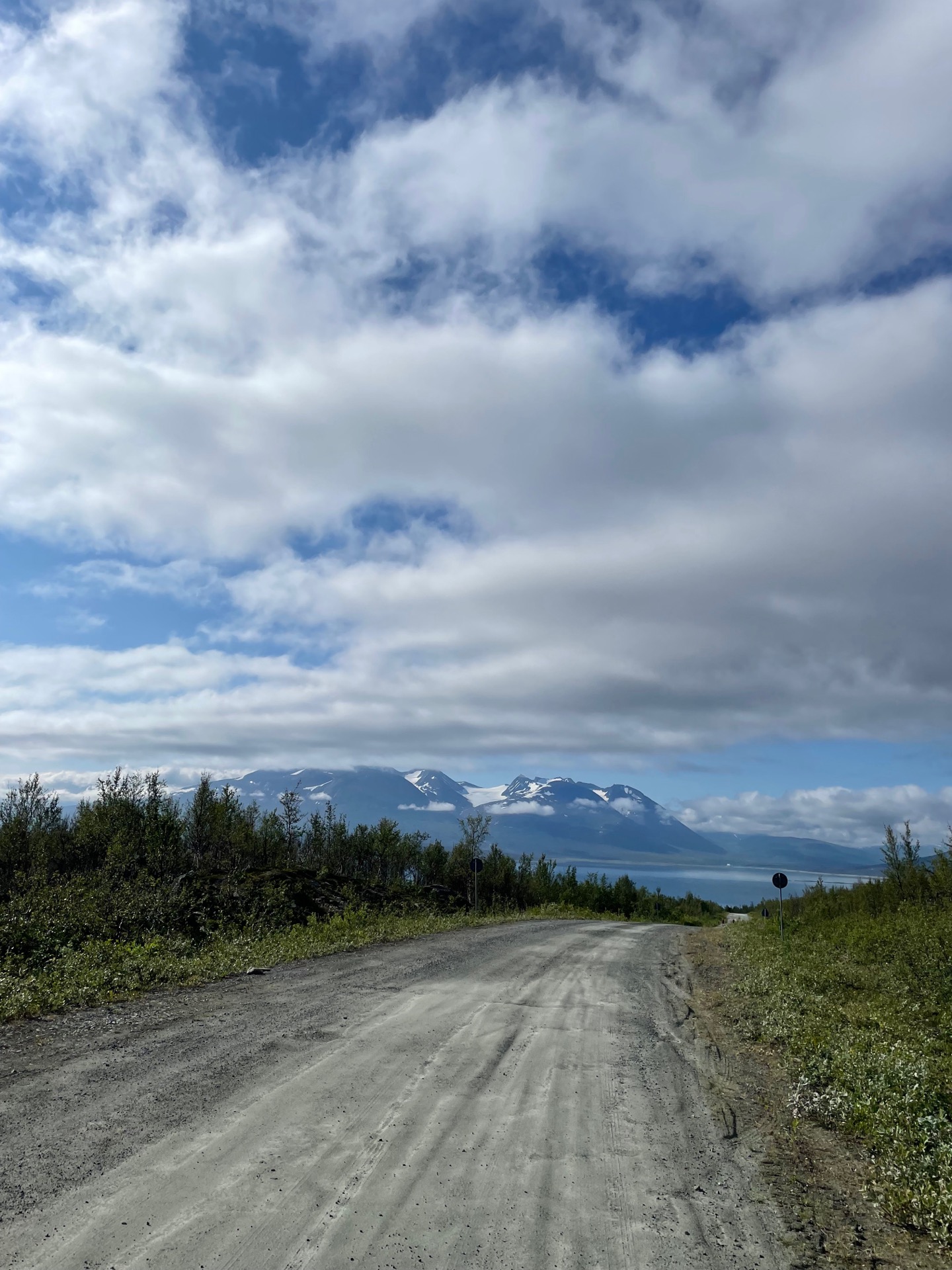
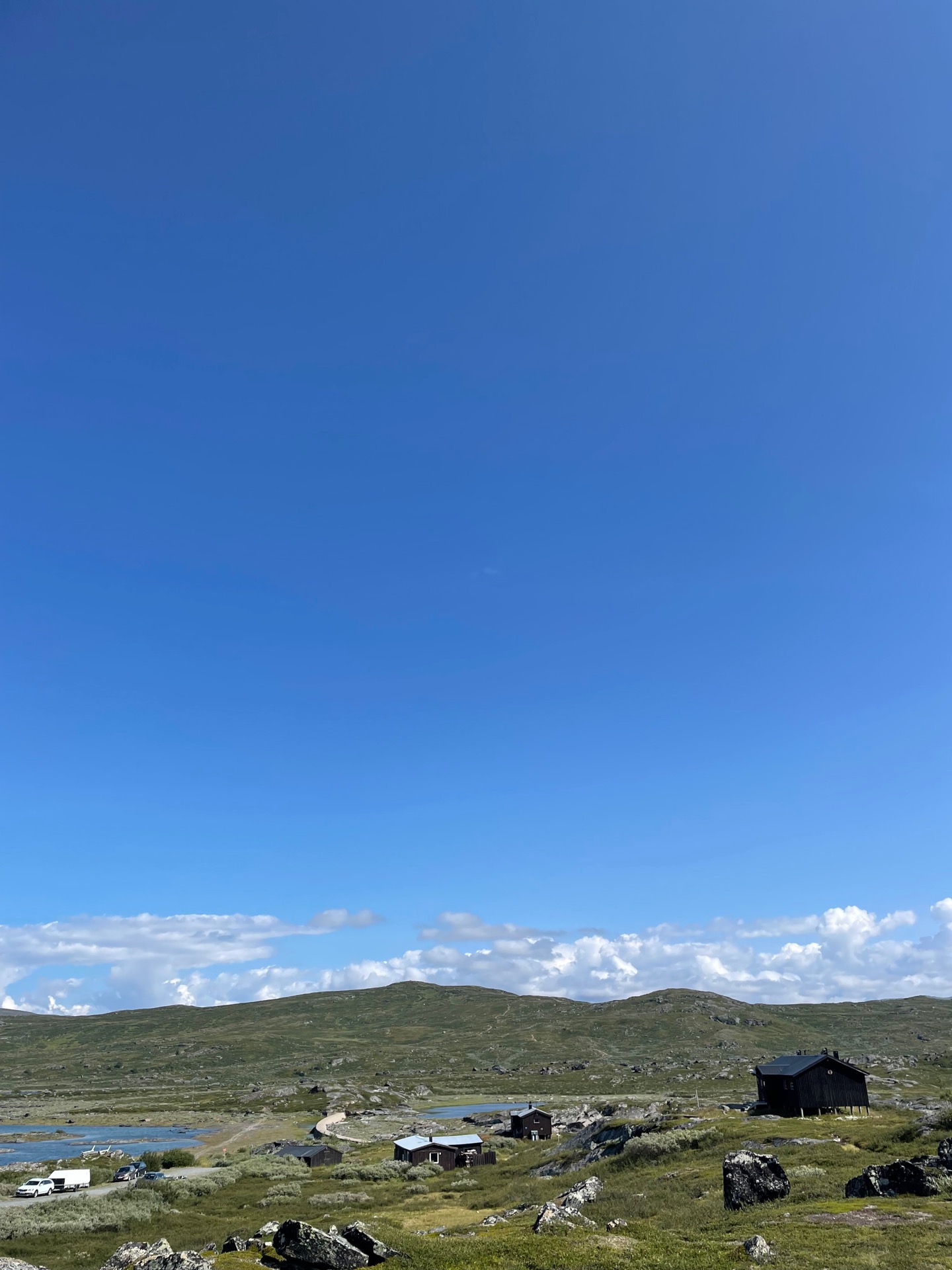
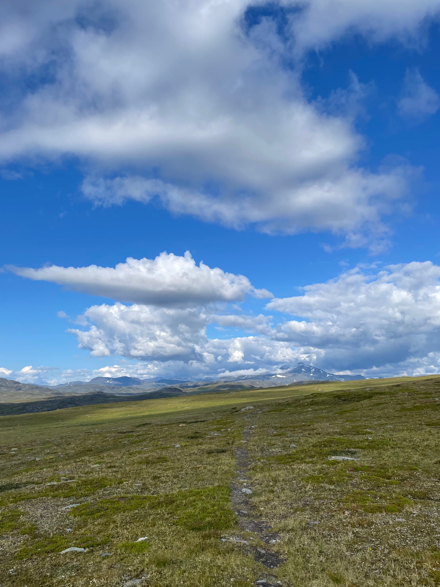
From Ritsem, the next cabin to the north is STF Sitasjaure, which sits right next to the hydropower dam at at the lake with the same name. The trail follows the maintenance road all the way, so my day started with 20 kilometers on gravel. I know that on paper, road walking is faster than hiking on trail, but it feels so. Much. Slower. My feet were grateful that I could walk the final stretch to the cabins on comparatively soft dirt trail.
The small Sami houses along the shore of Sitasjaure brought to mind fishing villages in Norwegian fjords – probably in part because of the white tipped waves on the lake. The strong winds convinced me to have my lunch indoors. Since it was my first time at Sitasjaure, I also picked up a cabin patch from the host.
After Sitasjaure, I was back on the trail again. The valley running between Sitasjaure and Hukejaure, the next cabin, reminded me of the gently rolling fjäll moors between Sylarna and Blåhammaren down south. A little piece of Jämtlandsfjällen right next to the heart of Lapplandsfjällen.
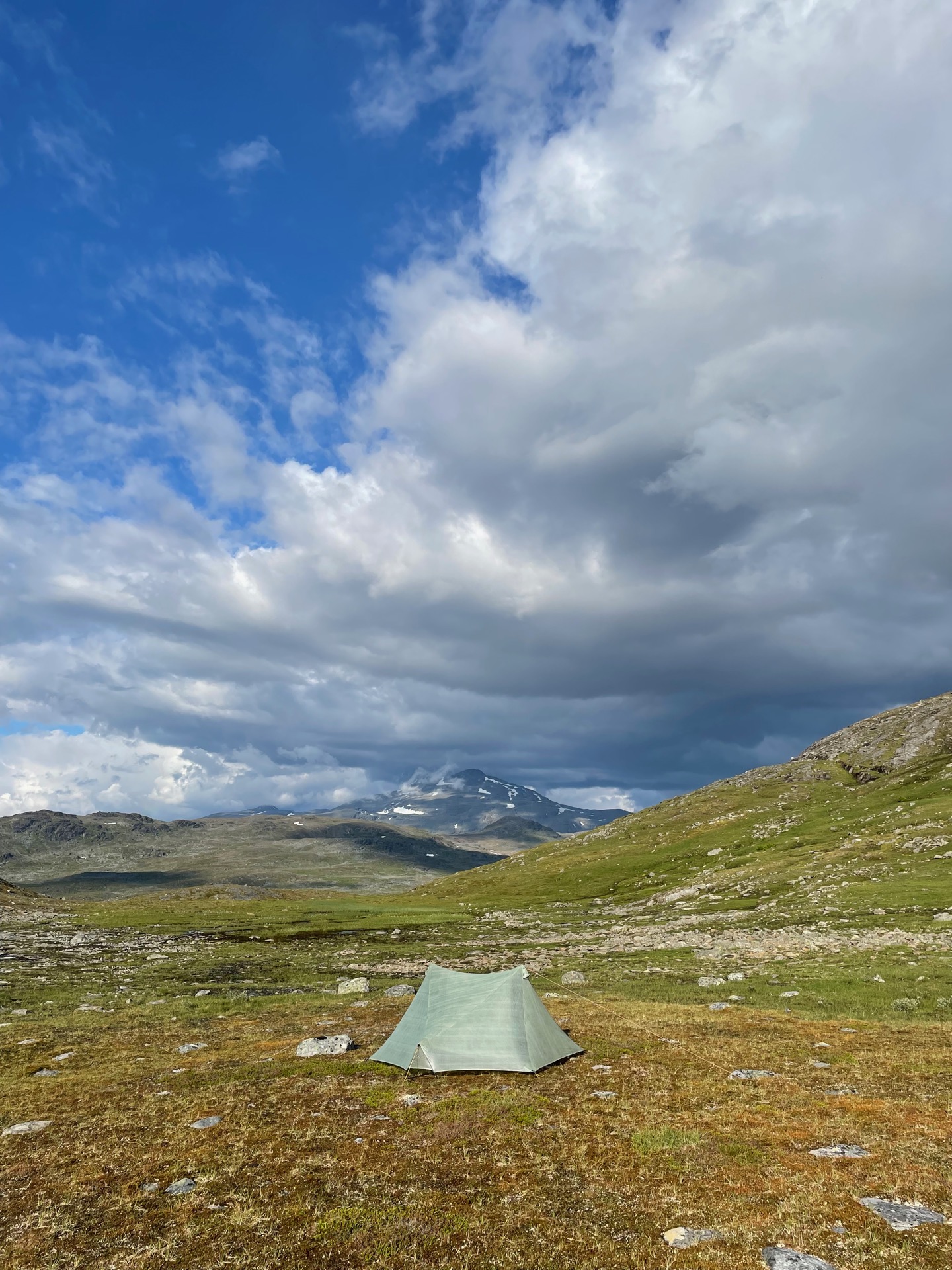
I soon met an older Dutch gentleman hiking cabin to cabin who had lost the trail to Hukejaure due to the quad trails crisscrossing the hiking trail. He had started in Ritsem that morning, so he had planned on hiking 40 km in one day. That’s pretty risky if you don’t have a tent with you. I ended up being mountain guide for the afternoon, and we kept company until the pass south of lake Kaisejaure, 4 km from the Hukejaure cabin, where I found a tent spot too good to pass up. It overlooks the mighty mountain Sealggá, which I’ll spend most of tomorrow hiking around. I hope my new Dutch friend made it the rest of the way without problems.
Day 43
July 30 (38.7 km)
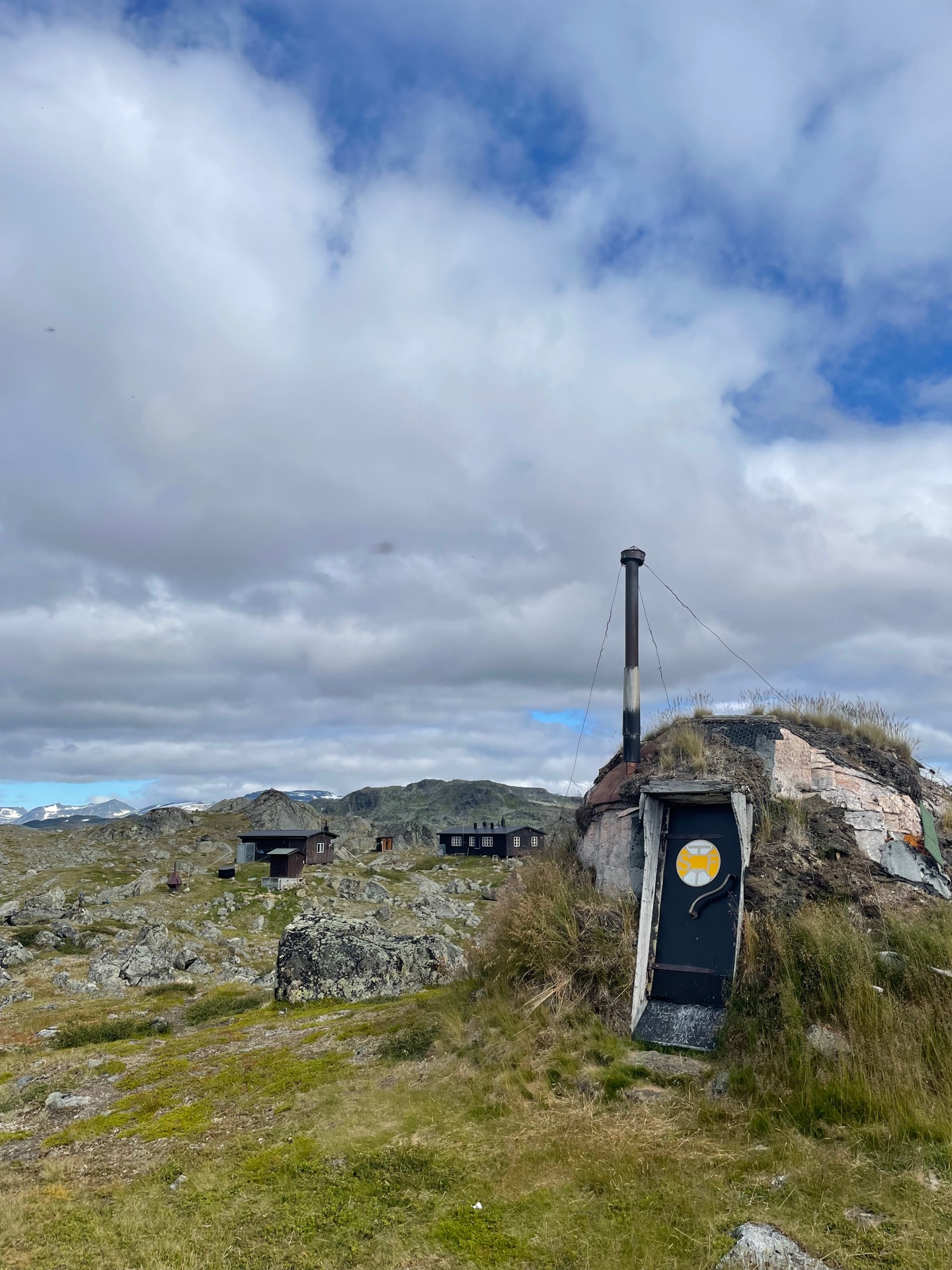
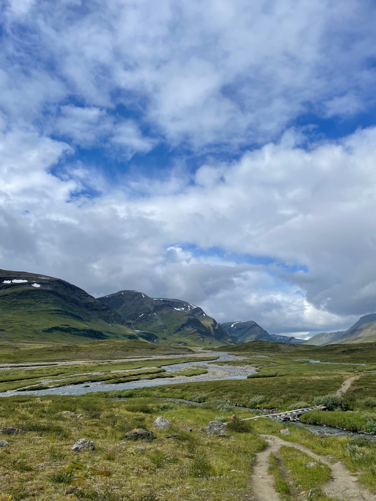
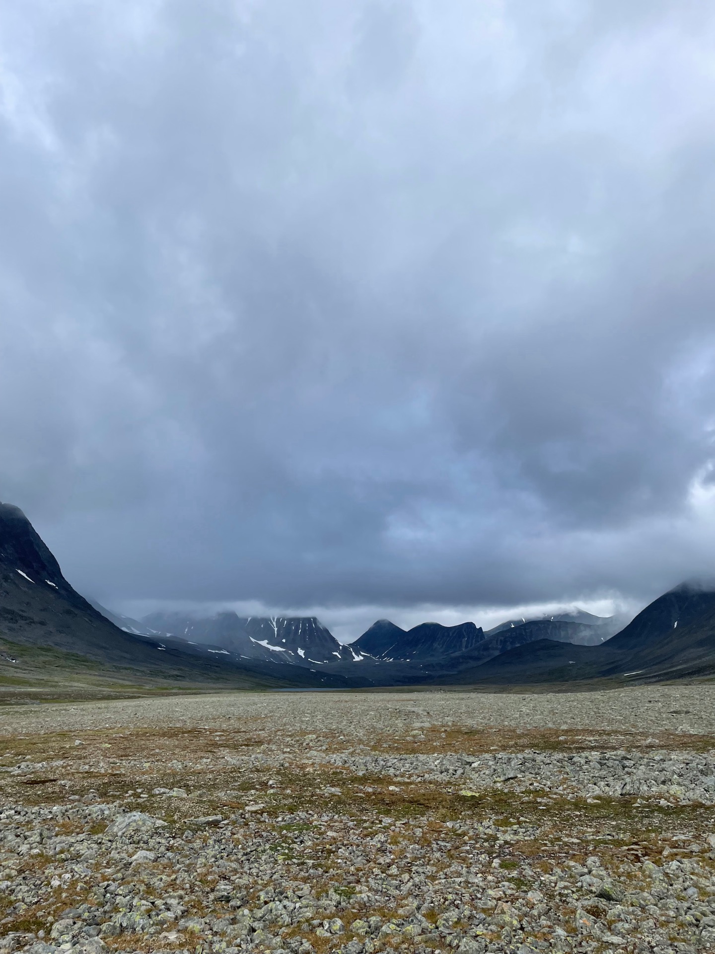
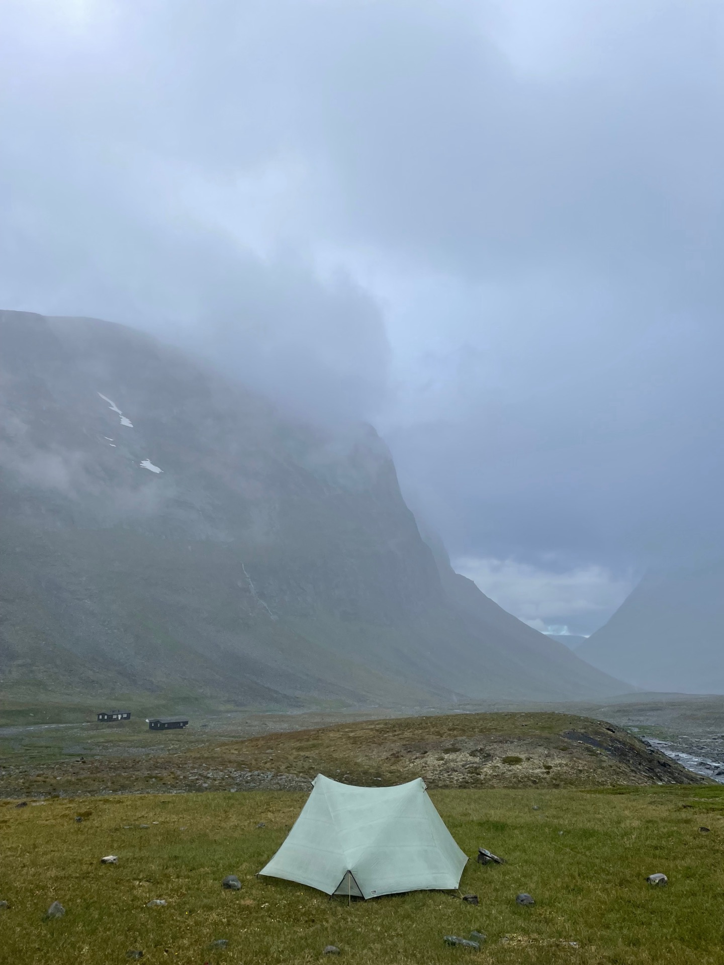
Of all the things not to forget in a mountain station on a thruhike, rain gear must at least be in the top 5. Today, I realized that my rain jacket was still drying in the closet in Ritsem when I continued to Hukejaure. Long story short, the plan is for the worlds bestest Rebecka to bring it (or a replacement) with her to Abisko on August 3. I’ll have to make due with my fairly rain resistant wind jacket until I get there, probably on August 1. My disappointment with myself lingered like a bad taste in my mouth for the rest of the day.
I arrived at the Hukejaure cabin in the morning, and immediately put it near the top of my list of prettiest STF cabins. I met my Dutch friend from the previous day and was glad to see he made it alright. I also managed to catch the cabin hosts before they escaped on a bird watching day hike, and got my Hukejaure cabin patch. The trail from there to the Tjäktjavagge valley wasn’t always easy to follow, but consistently easy on the eyes. I had my coffee break with a clear view of Kebnekaise, Swedens tallest mountain. Reaching Tjäktjavagge felt special. When I think of Lapplandsfjällen, that valley is what I see in front of me.
I stopped by the shop at the Sälka cabin to resupply for the two days to Abisko, and then continued northeast towards the Nallo cabin. Hiking in the moonlike valley between Sälka and Nallo, Stuor Reaiddavaggi, is fun! You can’t keep track of the trail most of the time, but hiking on, over and around the thousands of rocks that litter the valley makes the time fly by. It’s like the opposite of road walking. The fun ended when rain clouds moved in over the valley, and I put up my tent within sight of the Nallo cabin.
For obvious reasons*, I won’t go up into the Mårma pass tomorrow as I’d originally planned. The route through Lapporten will still be here in future hiking seasons.
*Hiking up a 1600 meter pass is for people who remember their rain jackets.
Day 44
July 31 (53.2 km)
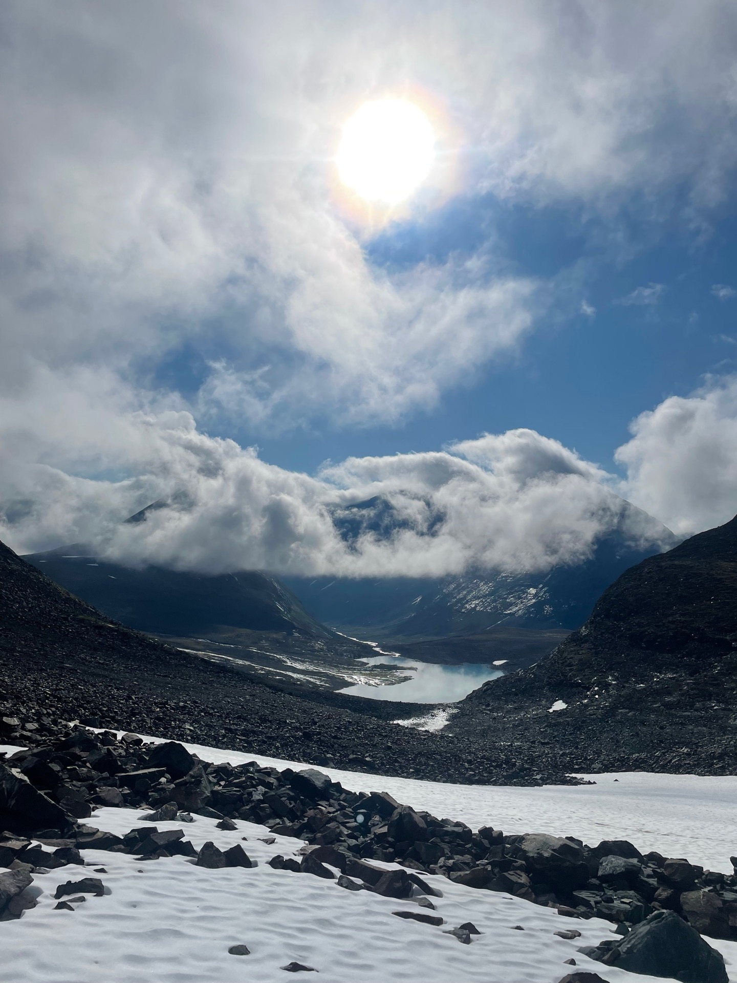
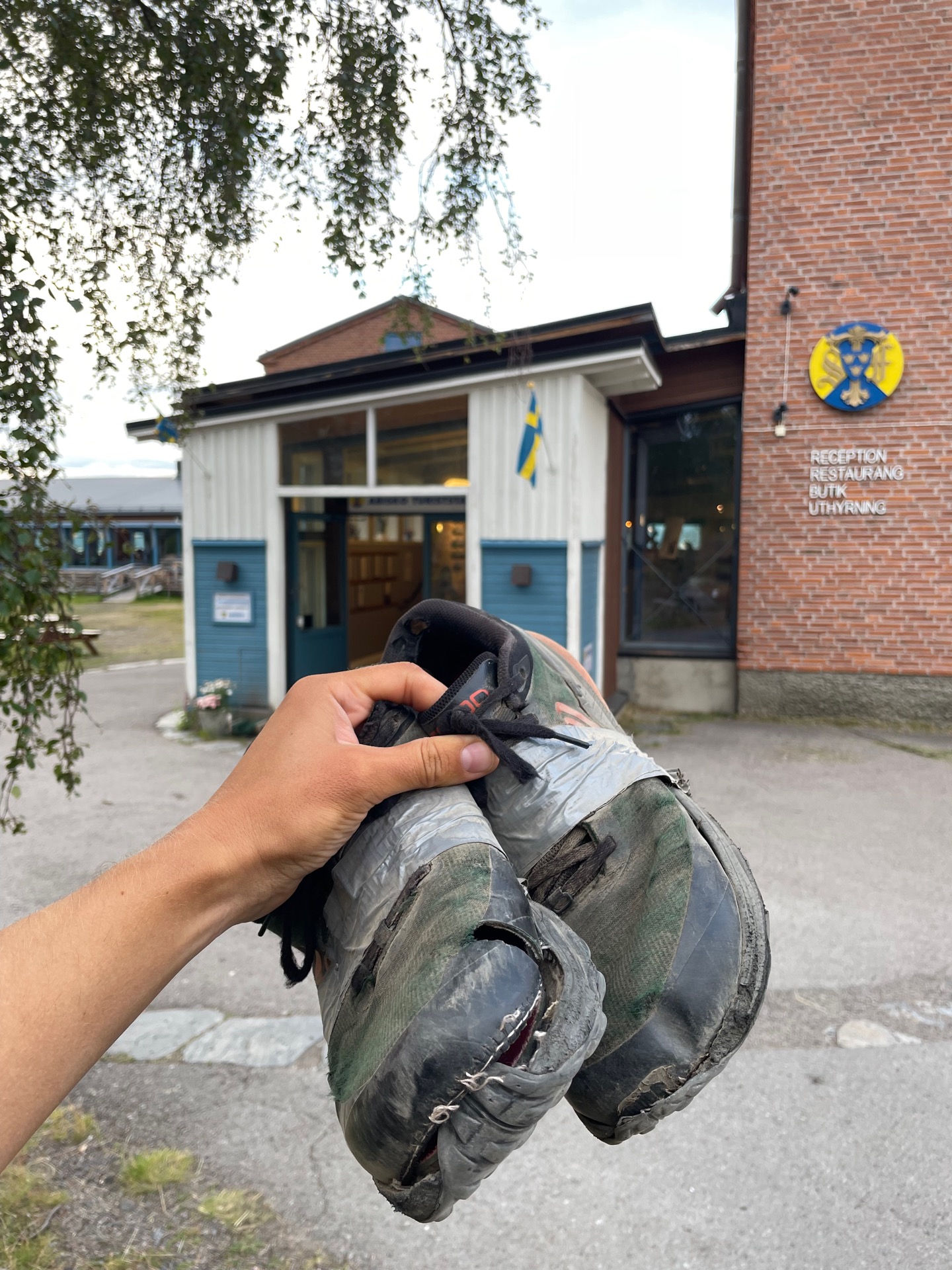
My shoes made it to Abisko! My feet and all the rest of me did as well, of course, but since Hemavan, I’ve been a lot more worried about my shoes than about my body. It was a close thing. After this marathon day, they look like the shoes of a homeless man in a Donald Duck cartoon.
My day started next to the Nallo cabins. I’d decided that I wouldn’t attempt the route over the Mårma pass without a rain jacket (see day 43 for that embarrassing story), but I’d found a consolation prize: Sielmmavaggi. The valley runs between Nallo and Tjäktja at 1300 meters at its highest point, and I hadn’t hiked it before. It was a tough but rewarding start to the day, with beautiful views back towards Nallo as the valley climbed.
When I got in sight of the Tjäktja cabins after 10, it was time for a different type of challenge. Next day’s forecast called for heavy rain, and since I didn’t have a rain jacket, I decided to get as close to Abisko Turiststation as possible by the end of the day. Fortunately, if you want to hike fast and far, the King’s Trail is the trail for you. Just before 13, I stopped at Alesjaure for lunch. Before I could eat, I had to do a little tent autopsy. That morning, I’d packed the tent with my spoon still in the side pocket. While I ate, a kid asked one of the cabin hosts if there’s Wi-Fi.
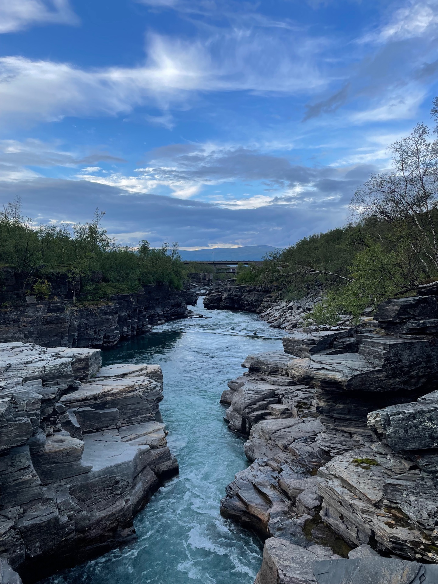
In the afternoon, I continued along lake Alesjaure until the trail passed between Gardenvarri and Giron and took me down to Abisko national park. It’s the fourth year in a row that I get to spend a little bit of late summer here. My energy was running low during the final 12 km from Abiskojaure to Abisko, and I finished a pack of Dextrosol and two Snickers bars while I walked. I was delirious with a mixture of joy, relief and sugar rush when the sight of the Abisko canyon told me that I could soon stop walking.
I’m staying on the Turiststation tent area tonight, and then I have two hotel rest days before the night train arrives with Rebecka, a new pair of shoes, and a rain jacket. Then the hiking will resume in a more reasonable pace.
Day 45
Aug 1 (0 km – rest day)
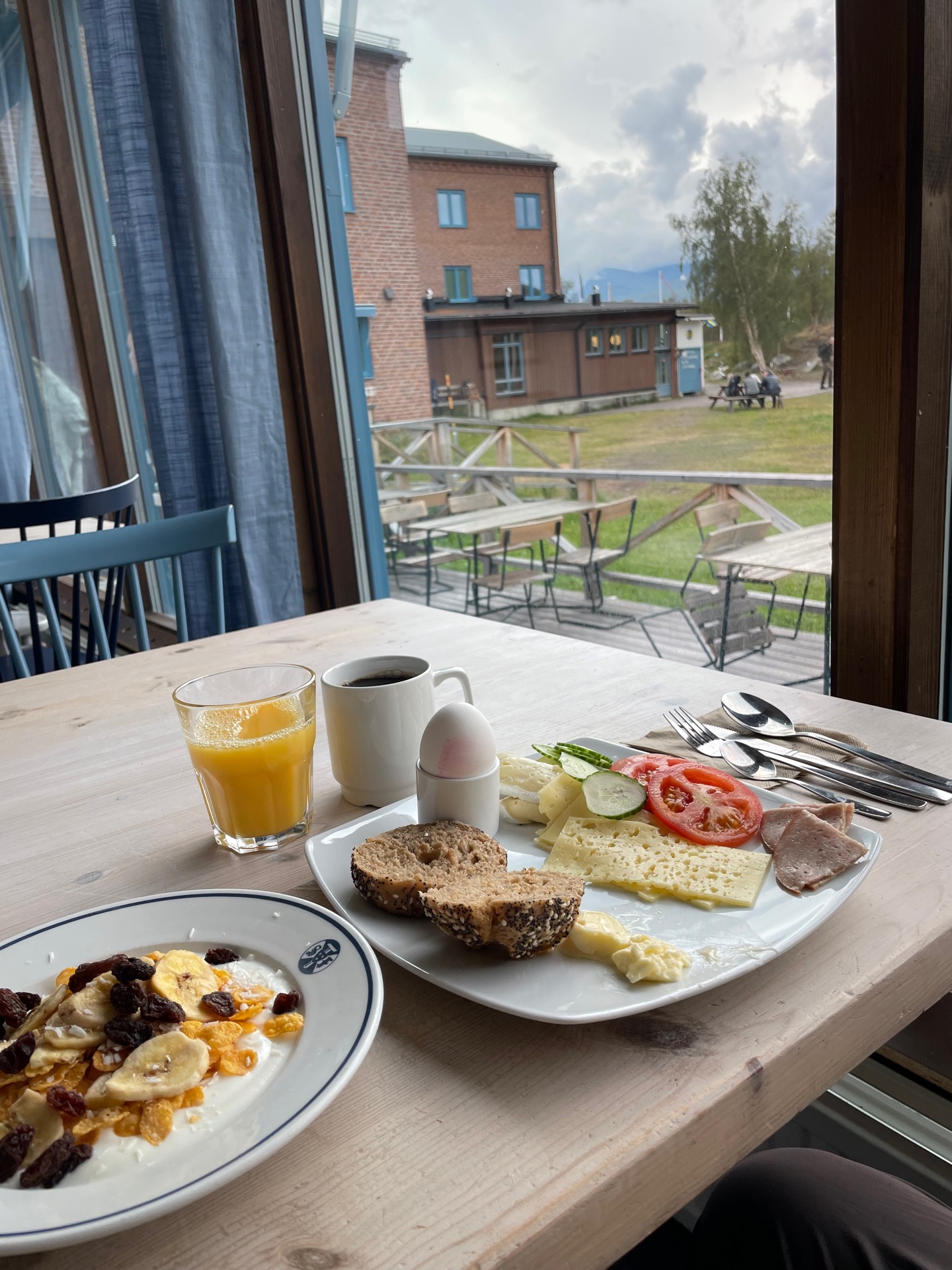
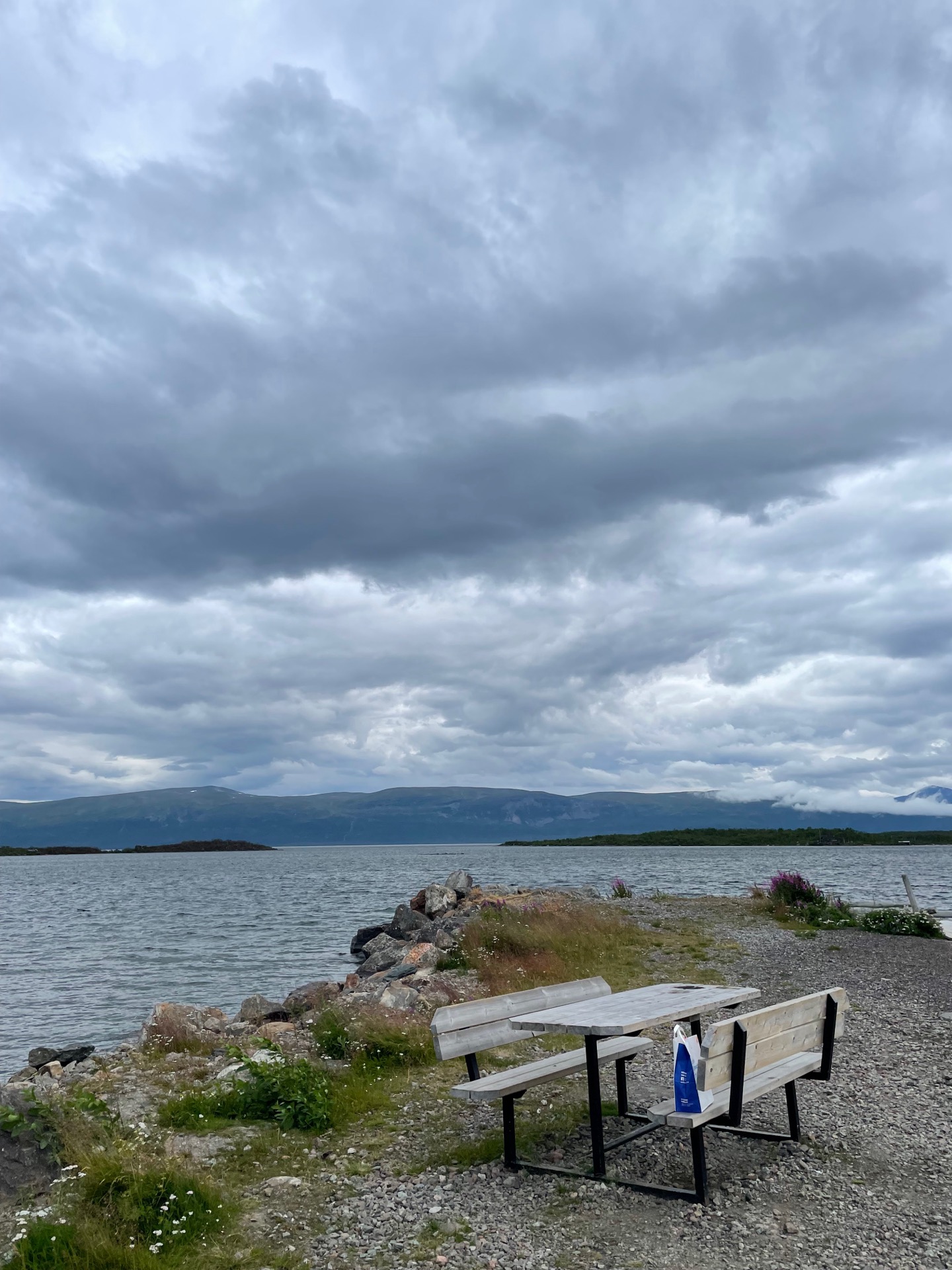
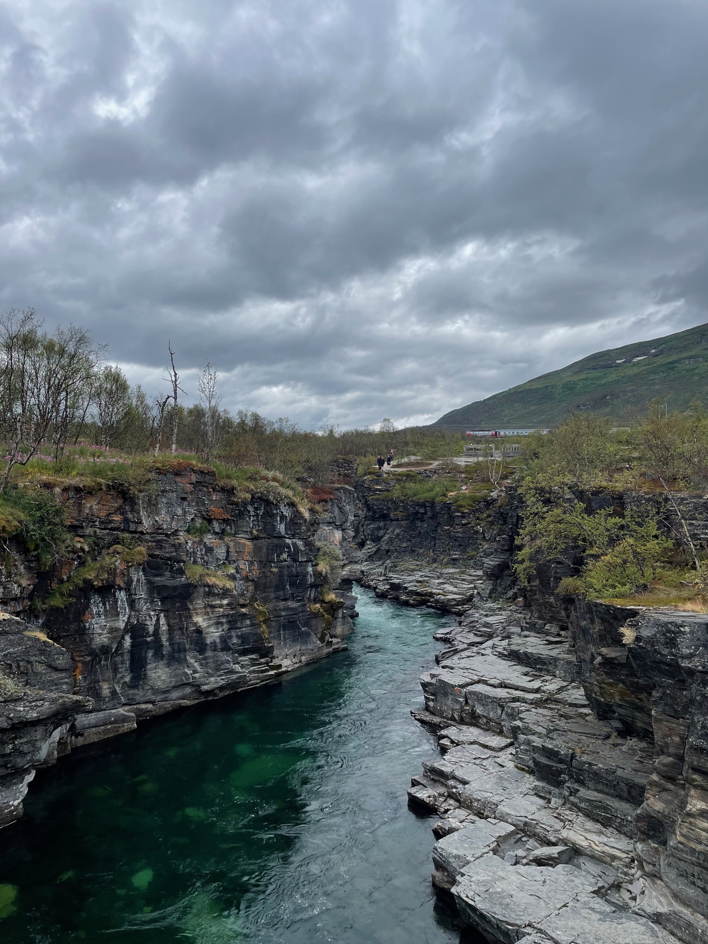
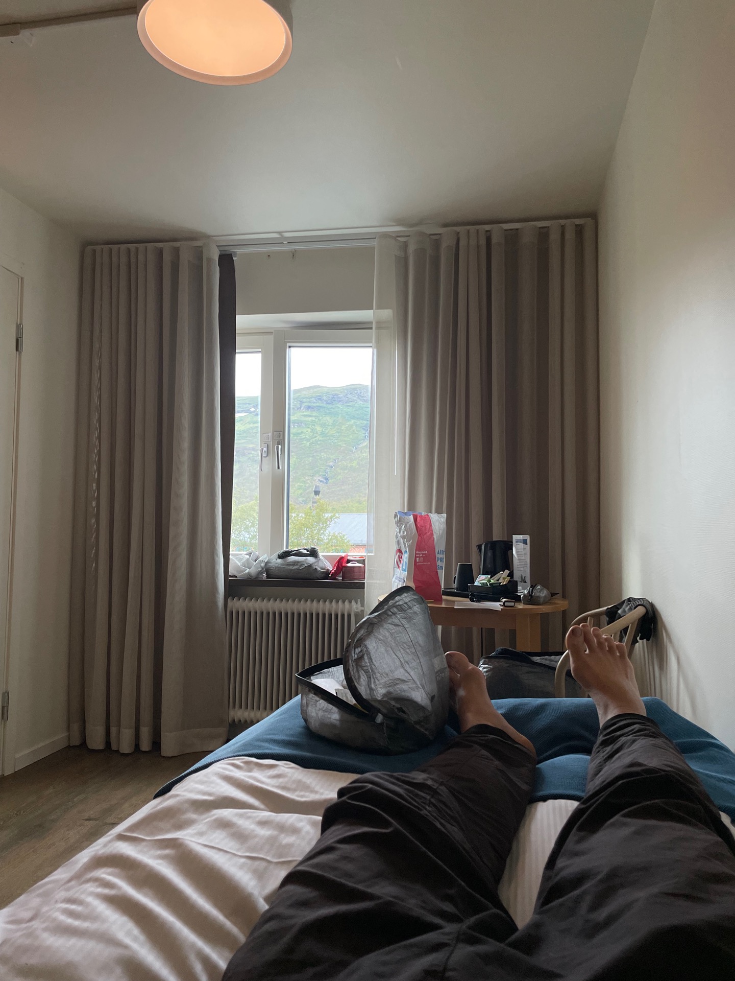
If someone in the Abisko Turiststation tent camp saw my contour through tent cloth as I limped towards the service building this morning, they would have guessed I was a 70 year old. I felt it, too. At least until I had a shower and ruined STFs quarterly results at the breakfast buffet. After that, I felt pretty good!
I spent the rest of the day visiting the town Abisko for the first time, buying and eating candy from a supermarket called Godisfabriken (“The Candy Factory”), walking by the lake Torneträsk and the Abisko canyon, washing clothes, polishing my thruhike mustache (I going to have to pick up pipe smoking soon), and doing a whole lot of sitting or lying down.
Day 46
Aug 2 (0 km – rest day)
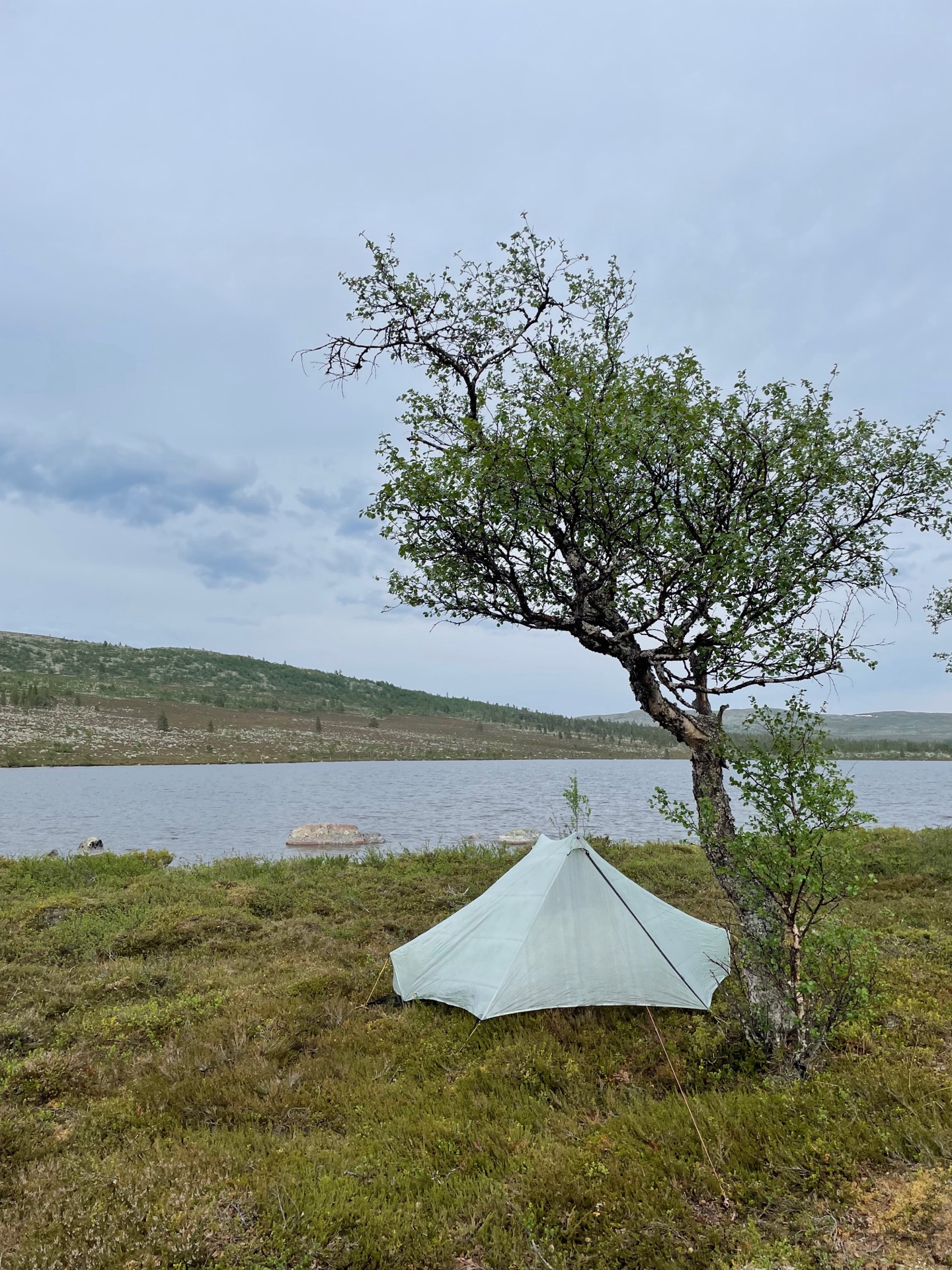
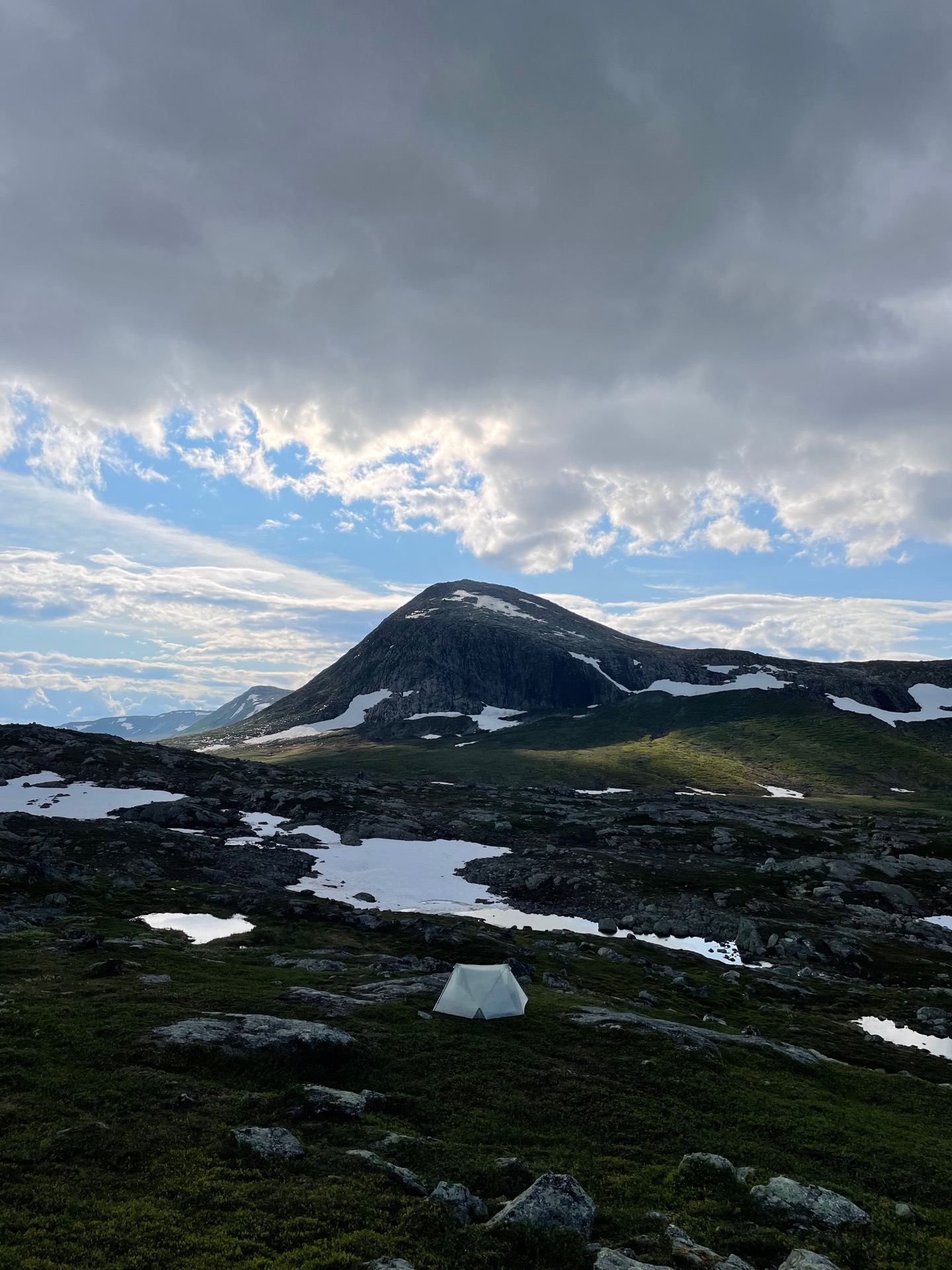
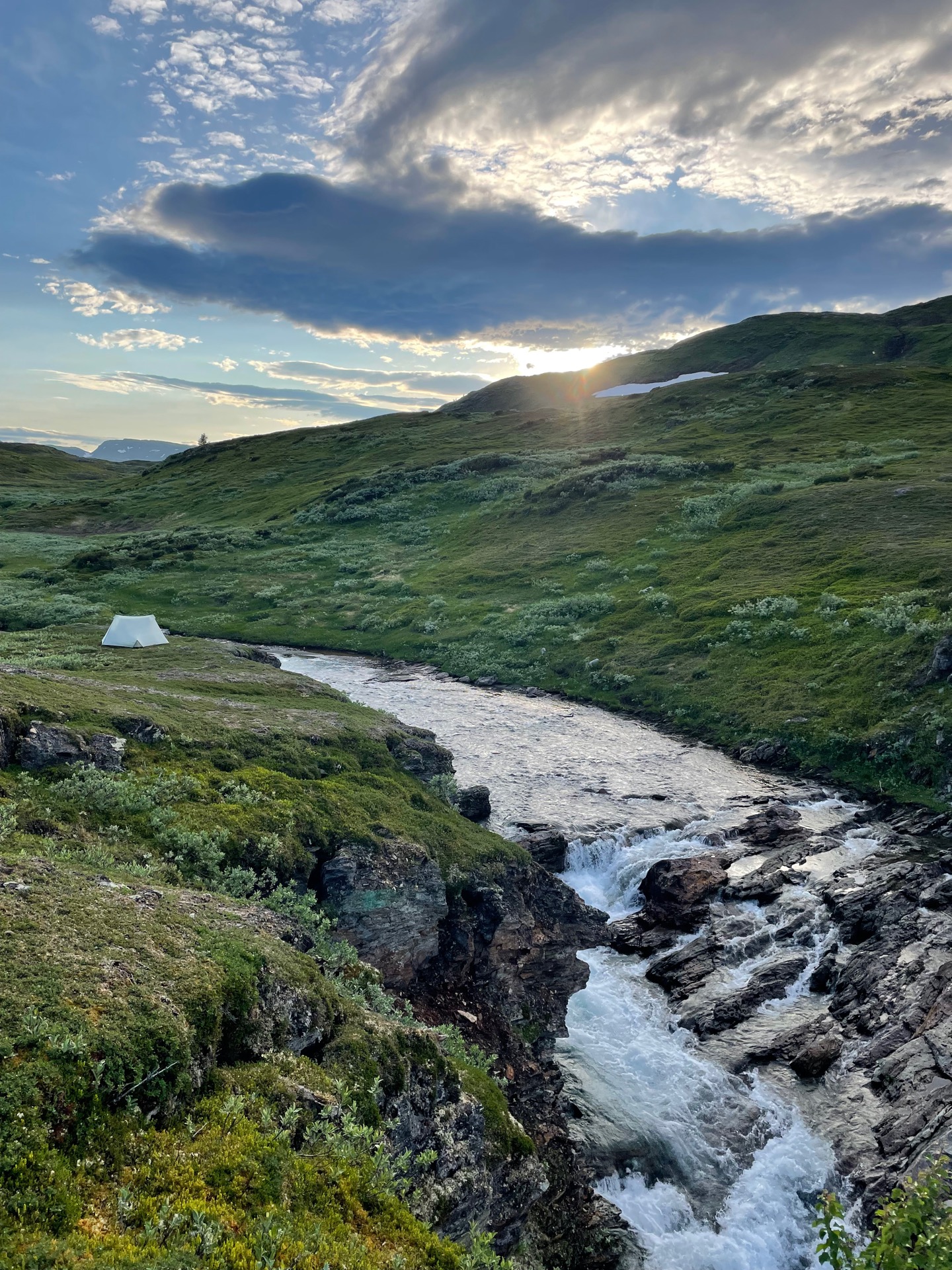
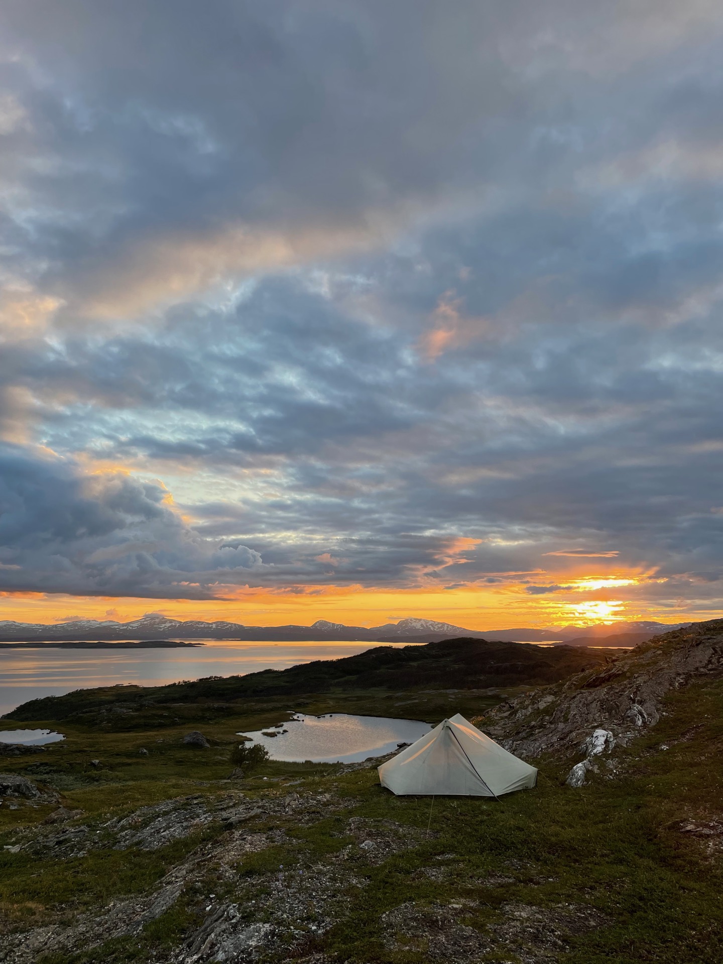
My second rest day in Abisko was pretty much identical to the first, so I’ll use today’s entry to highlight a piece of gear that has served me extremely well during my 45 days in the Swedish mountains: my tent, the Tarptent Stratospire Li with a solid inner tent. When me and Rebecka continue tomorrow, we’ll use her Hilleberg Helags three person tent.
The Stratospire Li is a trekking pole tent, and this has been my first experience with using one in the Swedish mountains. At first, I was hesitant to put it up above the tree line, and when I did, I tried to find tent spots out of the wind. As I got further north, I dared myself to camp at higher altitudes and in more exposed locations. The Stratospire Li never made me regret picking a prettier but more exposed tent site over a safer option. It handled everything I threw at it like a champ. At most, I estimate that I’ve had gusts of about 20 m/s, and I was never worried that my tent would collapse on me.
The Stratospire Li kept me not just safe, but comfortable. Mine weighs 768 grams with pegs, tent bag and extended guy lines in the ridge, which is a weight to comfort ratio that I’m extremely happy with given that it’s a two person tent – at least on paper. I’d consider it more of a “one person and a dog” tent, but I’m 192 cm tall, so I take up a lot of space. For my solo hike, it’s been downright spacious. The 114 cm inner width and double vestibules has given me ample room for gear, drying of clothes, cooking and relaxing. I do wish it was a decimeter longer. I have to lie on the diagonal to prevent my sleeping bag foot box from getting wet by pushing the inner tent against the outer. I’ve had this issue with all of the one or two person tents I’ve tried, though. Maybe it’s a me problem.
On the King’s Trail, I used the Hilleberg Enan. In comparison, the Stratospire Li gives me twice as much space at almost half the weight, and I have as much faith in its ability to handle all but the very worst weather that the Swedish mountains can throw at me. 5/5 campfires.